Continent World PowerPoint Maps: Global Visualization Made Simple


Type: PowerPoint Maps template
Category: World
Sources Available: .pptx
Product ID: PM00065
Template incl.: 22 editable slides
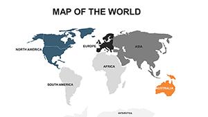
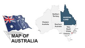
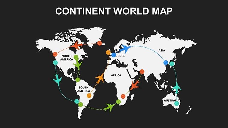
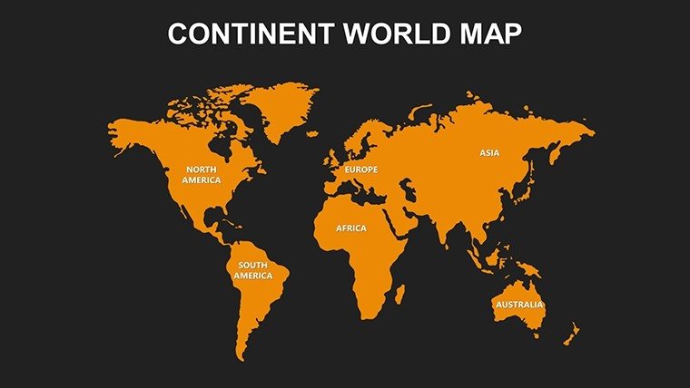
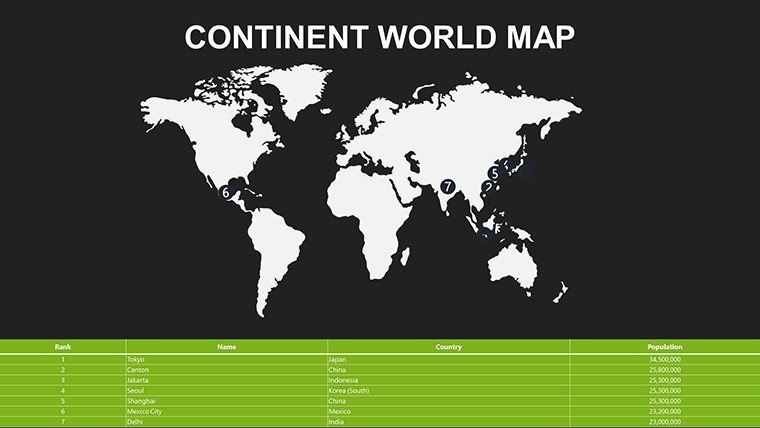
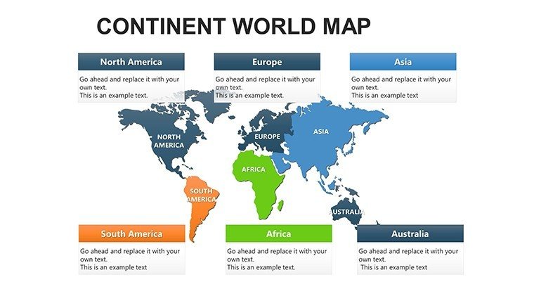
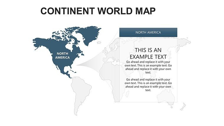
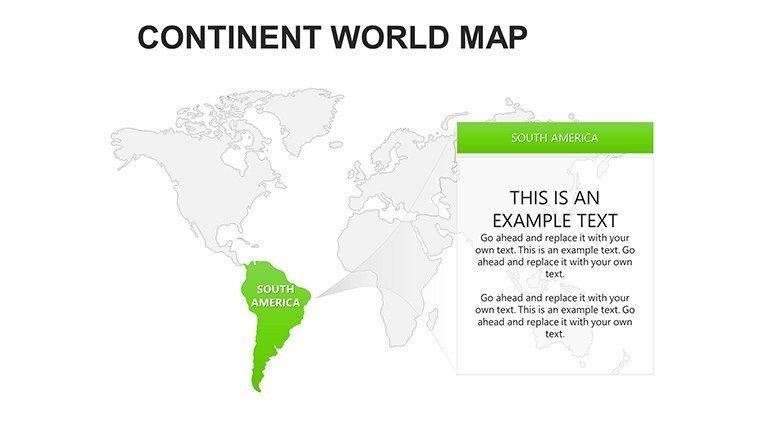
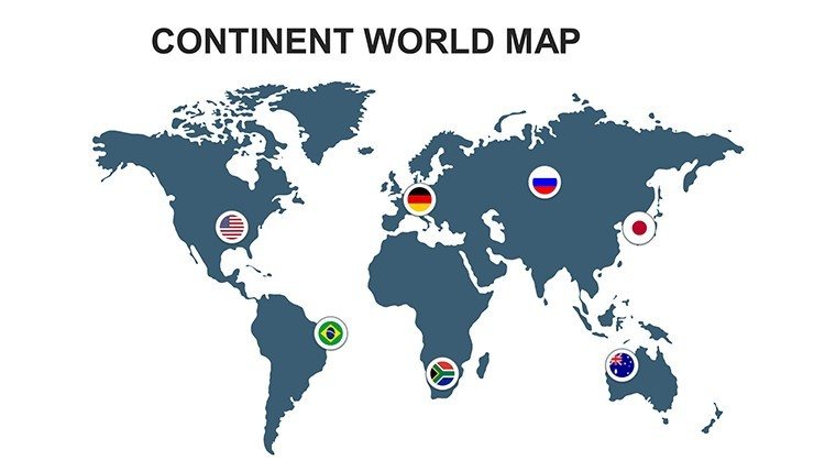
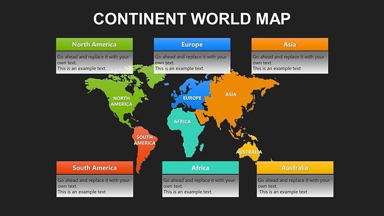
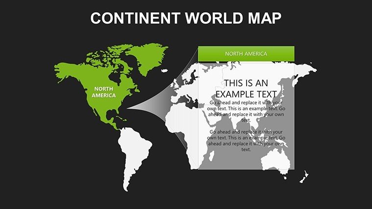
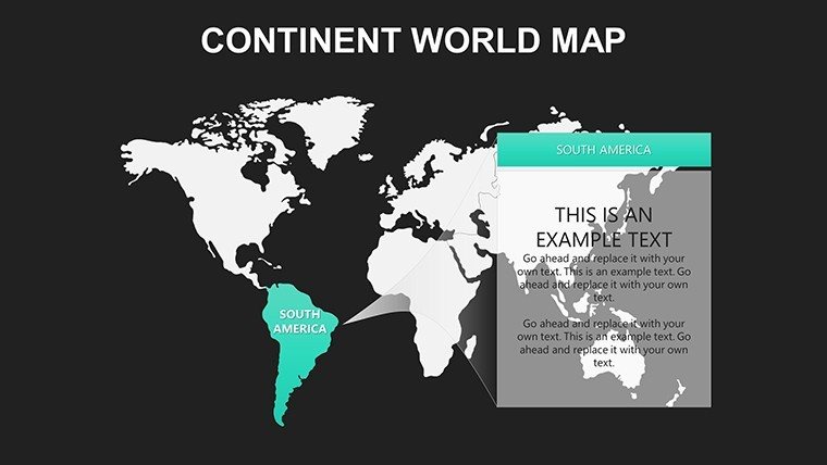
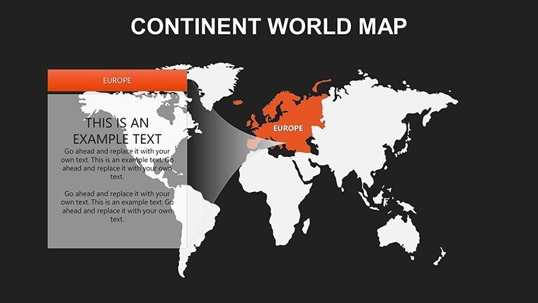
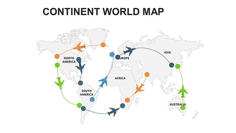
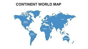
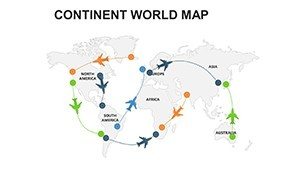
Step into a world of seamless global storytelling with our Continent World PowerPoint Maps template, perfect for professionals who demand precision in presenting international data. Spanning 22 editable slides, this resource covers all major continents - North America, South America, Europe, Asia, and Australia - with options to zoom into regions or overlay worldwide trends. Business executives can map supply chains across continents, educators illustrate cultural exchanges, and researchers highlight climate patterns, all with a professional flair. Unlike rudimentary tools, this template integrates charts, graphs, and infographics for multifaceted analysis, ensuring your message resonates globally. Tailor it to your needs, from corporate branding to academic themes, and transform complex data into accessible insights that drive decisions and inspire discussions.
Essential Features for Worldwide Impact
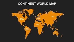
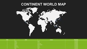
This template shines with its comprehensive design, offering 22 slides of high-fidelity maps in various styles, including dark effects for dramatic presentations or green/gray schemes for eco-focused topics. Every element is editable: alter colors to represent economic zones, resize for emphasis on specific continents, and add text for annotations like trade routes. Built for PowerPoint compatibility, it supports data visualization tools to embed stats seamlessly. Stand out from basic slides by using pre-designed alternatives that allow quick switches between views, enhancing flow in international reports.
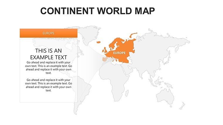
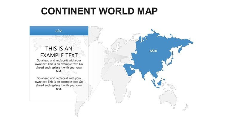
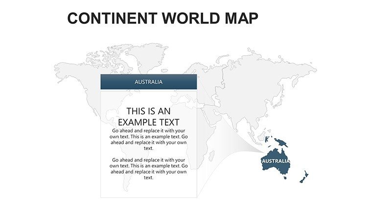
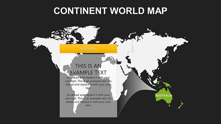
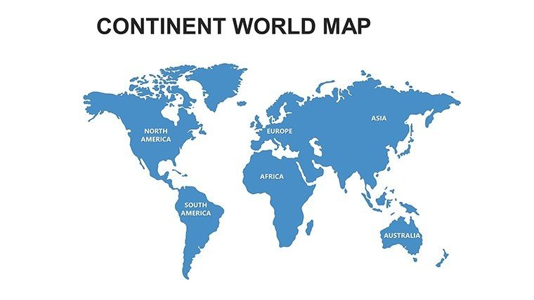
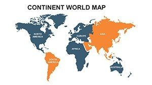
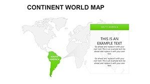
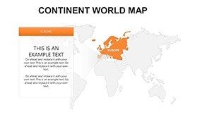
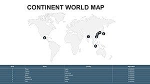
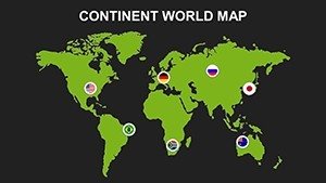
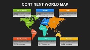
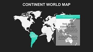
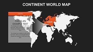
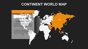
- Continent-Specific Maps: Detailed views for each major landmass, ideal for focused analyses.
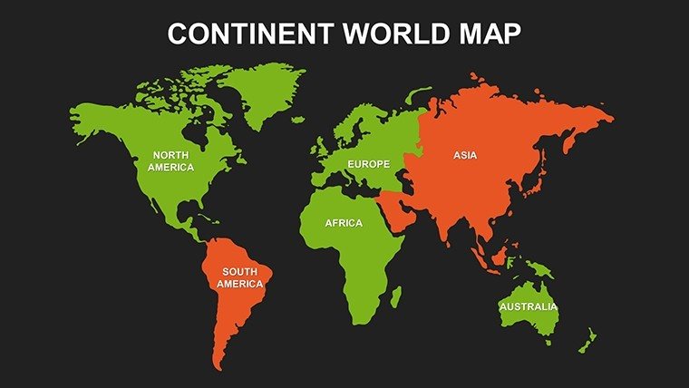
- Color Variations: Dark, green, gray, and alternative schemes for thematic consistency.
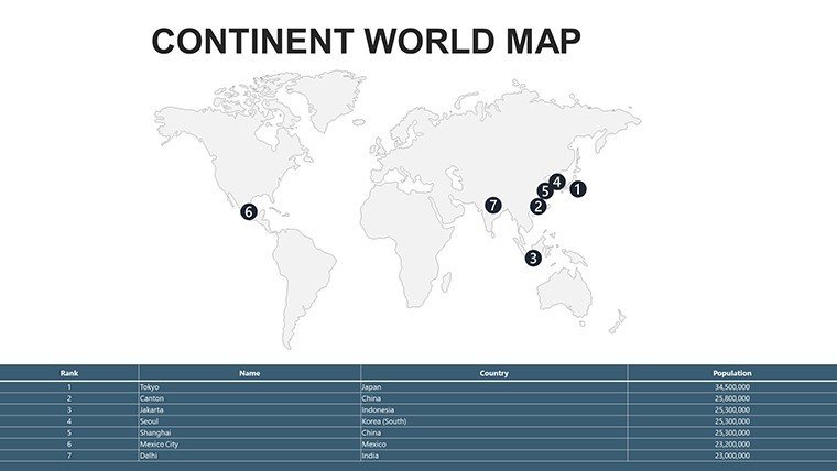
- Infographic Integration: Combine with charts for data-rich slides.
- User-Friendly Edits: No expertise required; customize in minutes.
Diverse Applications Across Professions
Imagine a multinational corporation using these maps to visualize market expansions in Asia, aligning with global trade standards. Academics might overlay historical migration patterns across Europe and Africa for engaging lectures. In marketing, pitch international campaigns by highlighting consumer behaviors in South America. Researchers can present biodiversity data on Australia, drawing from sources like WWF reports for authority. This template addresses common challenges like inconsistent visuals, providing a unified look that boosts credibility. For nonprofits, map humanitarian efforts worldwide, making appeals more compelling. Its versatility surpasses standard PowerPoint, offering layered designs for deeper insights without extra effort.
Customizing for Your Global Audience
- Pick a continent slide or world overview as your base.
- Apply color schemes to match your topic, like green for sustainability.
- Overlay data elements, such as graphs for GDP comparisons.
- Add icons and labels for key points, ensuring clarity.
- Review for global appeal, adjusting for cultural sensitivities.
This method, honed from expert presentation strategies, streamlines creation, allowing focus on content over cosmetics.
Insights and Best Practices for Excellence
From an experienced lens, use contrasting colors for accessibility, ensuring maps are viewer-friendly. Reference real cases, like UN presentations on continental development. Keep designs minimal to spotlight data, avoiding overload. For , incorporate citations from authoritative bodies like the World Bank. These tips elevate your work, integrating terms like "editable world continent maps" naturally for better reach.
Ready to go global? Download this continent maps template and conquer your presentations.
Frequently Asked Questions
What customization options are available?
Full edits on colors, texts, layouts, and data integrations.
Compatible with other software?
Primarily PowerPoint; basic support in Google Slides.
Suitable for which fields?
Business, education, research, and marketing for global topics.
Number of slides included?
22, covering all continents with variations.
Can it handle complex data?
Yes, with built-in chart and graph support.