Asia Map PowerPoint Template - Emerging Markets Focus


Type: PowerPoint Maps template
Category: World
Sources Available: .pptx
Product ID: PM00032
Template incl.: 42 editable slides
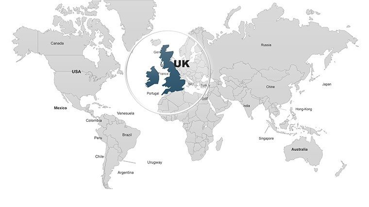
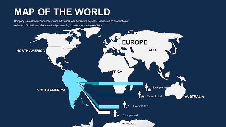
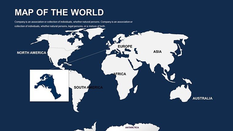
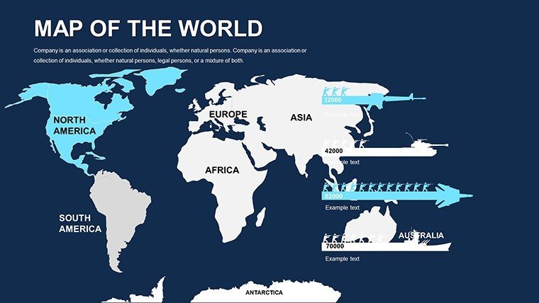
Asia's dynamic economies and rich cultures call for presentation tools that capture its complexity. Our Asia Map PowerPoint Template provides 55 editable slides, ideal for investors, researchers, and travelers. Highlight tech hubs in East Asia or tourism growth in Southeast - this template turns vast data into digestible insights. Compatible with PowerPoint and Google Slides, it's built for seamless customization. Imagine pitching venture capital on India's startup scene or lecturing on ancient Silk Road routes; these slides make your message vivid and memorable, bridging continents with clarity.
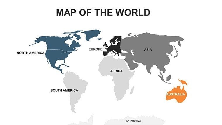
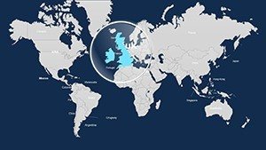
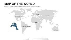
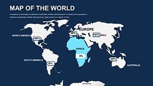
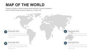
Navigating Asia's Vast Landscapes
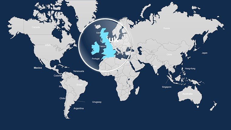
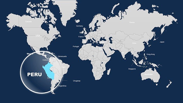
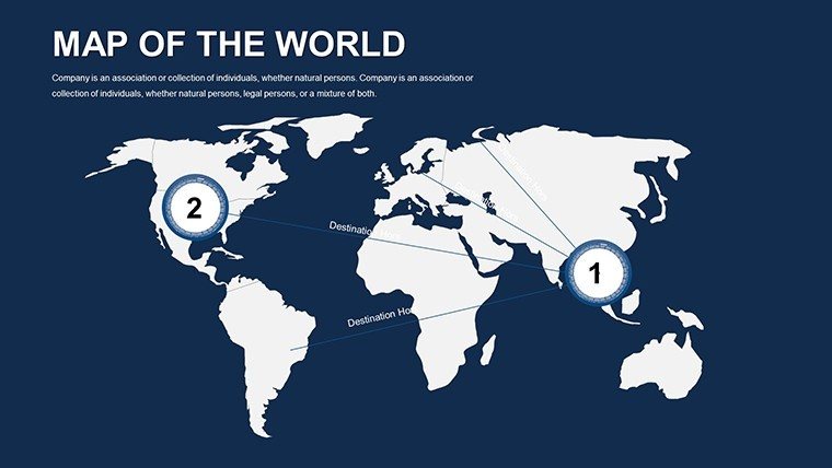
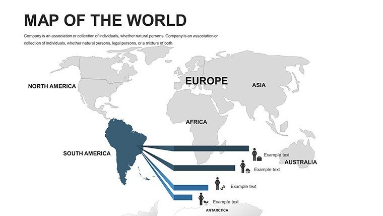
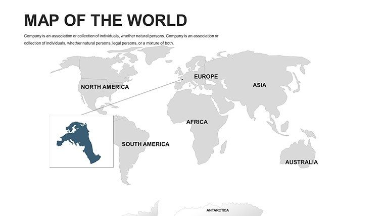
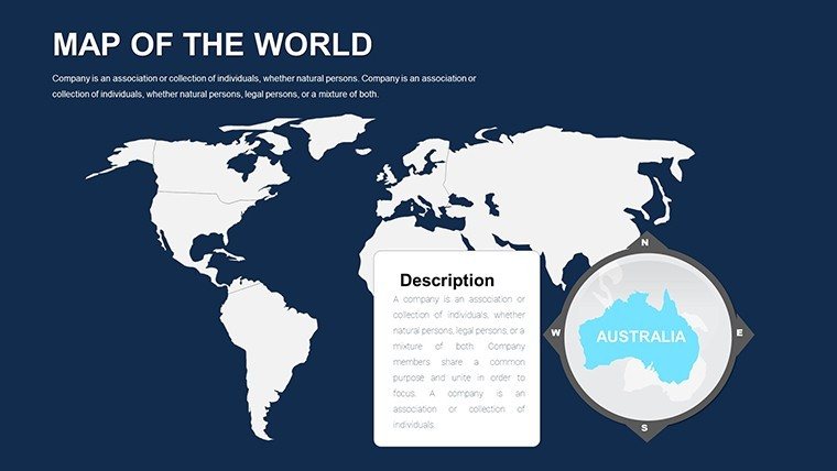
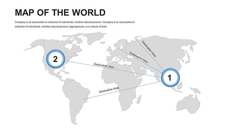
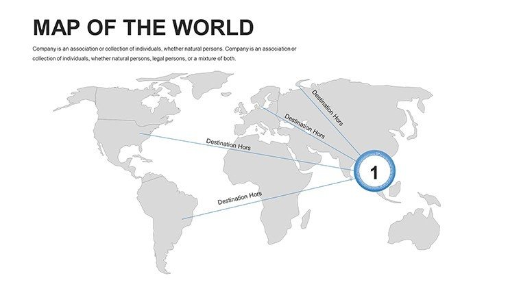
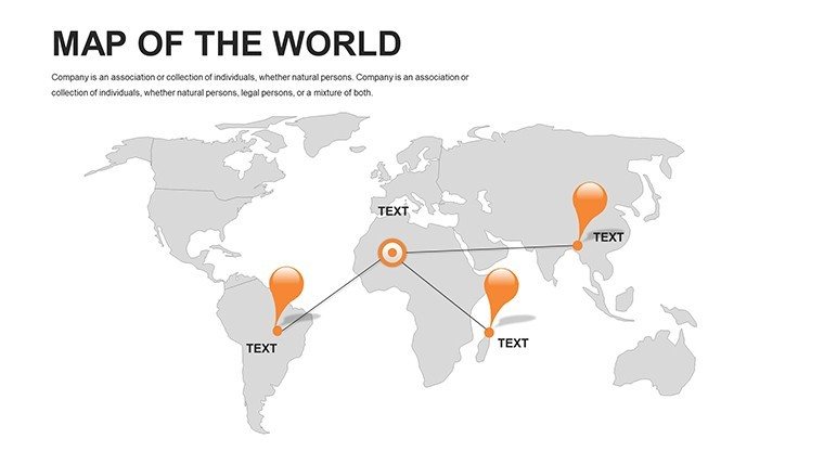
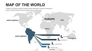
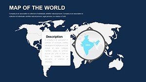
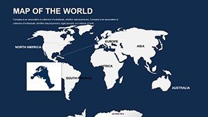
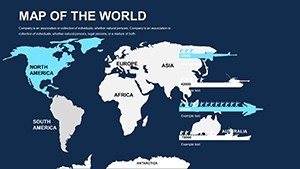
Featuring detailed maps of subregions like South Asia, Central Asia, and the Pacific Rim, this template supports in-depth exploration. Business users can mark trade partnerships under initiatives like Belt and Road, using icons for ports and railways. Academics map linguistic diversities or historical empires, enriching curricula. Based on cartographic expertise from sources like the Asian Development Bank, it ensures factual representation amid aesthetic flexibility.
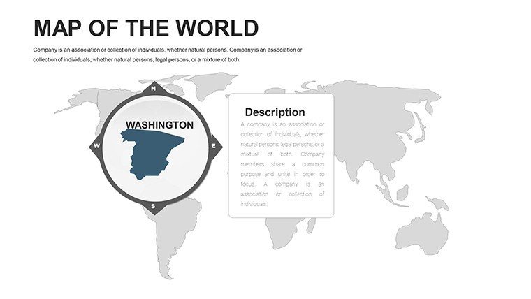
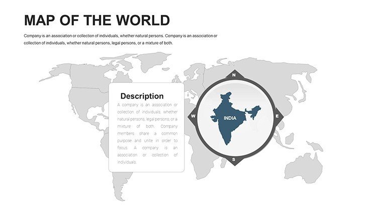
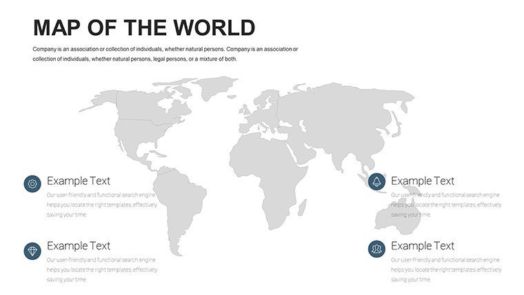
Core Features Driving Value
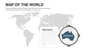
- Regionally Editable: Fine-tune countries or provinces as required.
- 55 In-Depth Slides: From continental overviews to country spotlights.
- High-Resolution Vectors: Perfect for digital or print media.
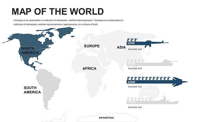
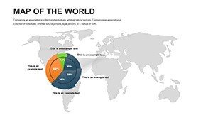
- Chart Compatibility: Overlay economic indicators effortlessly.
- Universal Access: Works on desktops, tablets, and online editors.
It embodies principles from global mapping standards, promoting inclusive and accurate visuals.
Diverse Applications and Impactful Examples
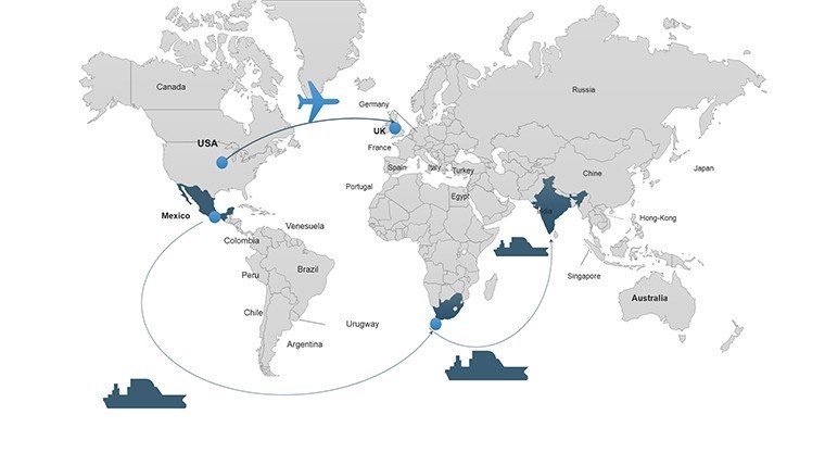
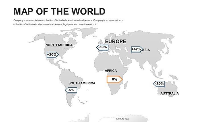
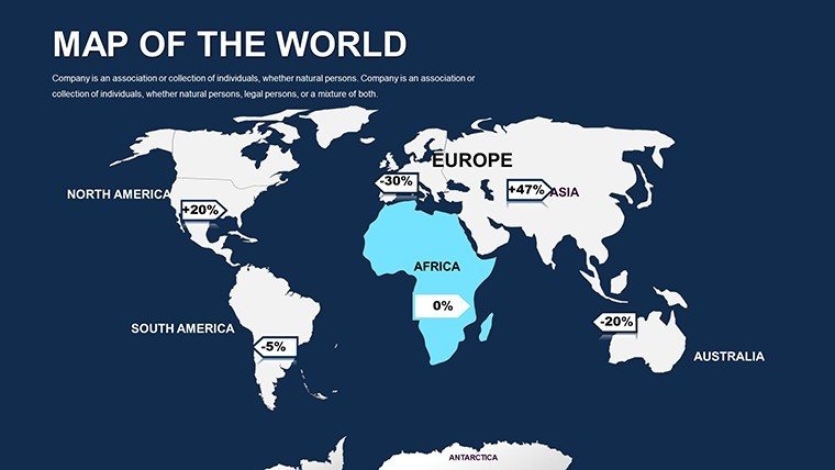
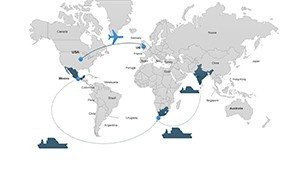
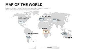
Investment firms visualize GDP growth in ASEAN nations, attracting clients with clear projections. Cultural anthropologists use it for heritage site mappings, as in UNESCO projects. Tech companies track supply chains from China to Vietnam, optimizing operations. These applications, supported by real-world successes like World Bank reports, show the template's transformative potential.
Streamlined Customization Process
- Open in PowerPoint or equivalent.
- Edit map fills and add custom elements.
- Incorporate data visualizations.
- Enhance with animations.
- Finalize and distribute.
Suitable for solo or team workflows, with cloud syncing for efficiency.
Better Than Basic Alternatives
Surpassing stock maps, it includes cultural symbols and economic zones, adding depth. Vibrant palettes inspired by Asian artistry make slides engaging and culturally sensitive.
Tips from the Pros
Source data from reliable outlets like IMF. Use layers for complexity management. Adapt for virtual reality previews if advanced. Emulate successful pitches, such as those at Davos on Asian economics.
Extending to NGOs mapping aid distribution or media outlets covering regional news.
Ignite Your Asia-Focused Presentations
This Asia map template is your key to compelling, continent-spanning stories. Download and embark on your journey today.
Frequently Asked Questions
- Includes disputed territories? Maps are neutral, with notes for sensitivity.
- Updated for recent changes? Yes, incorporates latest geopolitical updates.
- Animation ready? Includes presets for dynamic effects.
- License details? Full commercial and personal rights.
- Format? Standard .pptx for broad use.
- Support available? Contact us for any queries.