Editable Canada Maps PowerPoint Template: Elevate Your Geographic Presentations


Type: PowerPoint Maps template
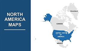
Category: North America
Sources Available: .pptx
Product ID: PM00013
Template incl.: 37 editable slides
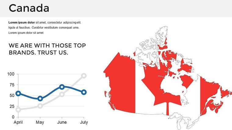
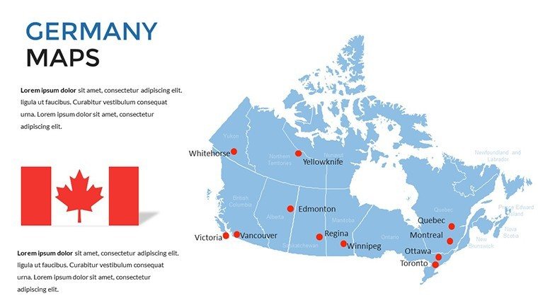
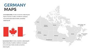
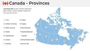
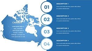
Imagine transforming a standard geography lesson into an interactive journey across Canada's vast landscapes, or turning a business report on market expansion into a visually compelling narrative that captivates stakeholders. Our Canada PowerPoint Maps Template does just that, offering 37 fully editable slides designed to highlight provinces like Ontario and British Columbia, territories such as Nunavut, and bustling cities from Toronto to Vancouver. Crafted for professionals who value precision and creativity, this template empowers you to customize every element - whether adjusting color schemes to match your brand or adding data overlays for demographic insights. Drawing from years of expertise in presentation design, aligned with standards like those from the Royal Canadian Geographical Society, it ensures your slides not only inform but inspire. Perfect for anyone from classroom teachers illustrating climate zones to executives mapping supply chains, this tool saves hours of design time while delivering polished results compatible with PowerPoint and Google Slides.
Unlocking the Power of Visual Storytelling with Canadian Maps
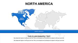
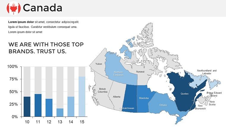
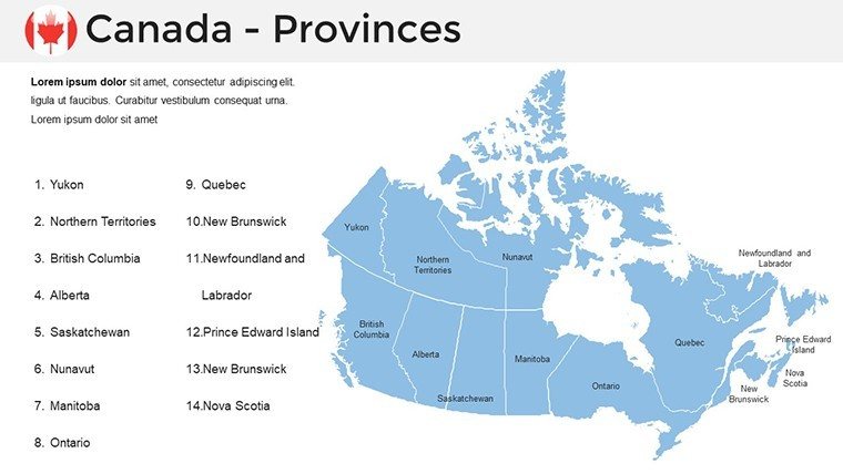
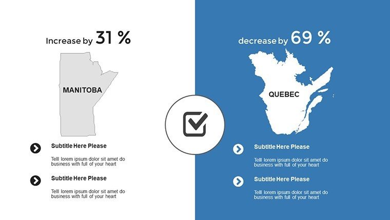
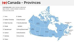
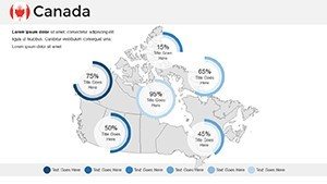
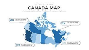
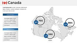
In today's fast-paced world, where attention spans are shorter than a prairie horizon, effective presentations rely on visuals that speak volumes. This template's high-resolution vector graphics maintain clarity even when projected on large screens, making it ideal for conferences or virtual meetings. Start with the overview slide, which provides a comprehensive outline of Canada's 10 provinces and 3 territories, complete with labeled boundaries that you can tweak for emphasis - perhaps highlighting Quebec's cultural hubs or Alberta's energy sectors. As you delve deeper, slides dedicated to individual regions allow for detailed explorations, such as integrating population stats or economic data directly onto the maps. Unlike basic PowerPoint shapes that pixelate under zoom, our vectors scale seamlessly, ensuring trustworthiness in your deliverables. Real-world applications abound: think of a tourism board using these to showcase adventure routes from the Rocky Mountains to the Atlantic coast, or researchers presenting environmental impact studies on boreal forests. By incorporating themed icons - like maple leaves for national pride or icons for urban centers - you add layers of engagement that resonate with audiences.
Detailed Slide Breakdown: From Basics to Advanced Customizations
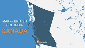
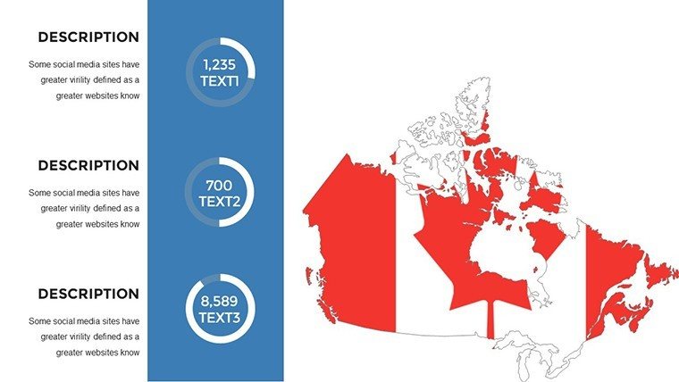
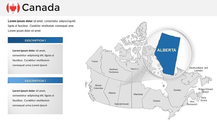
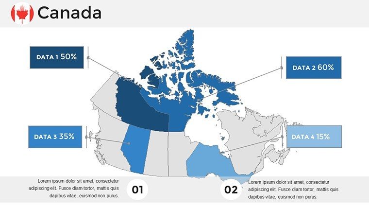
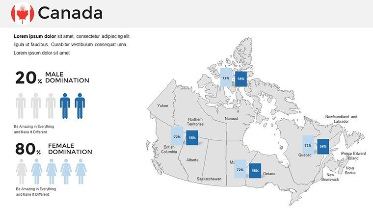
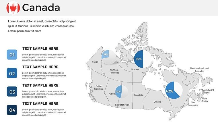
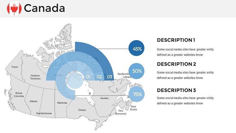
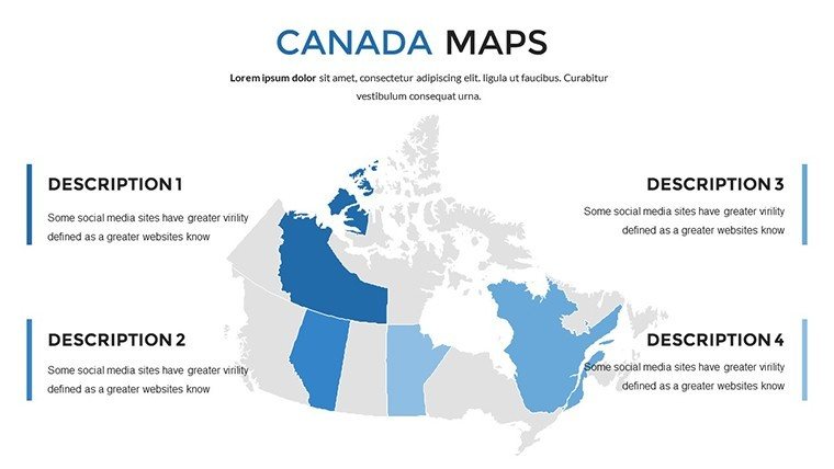
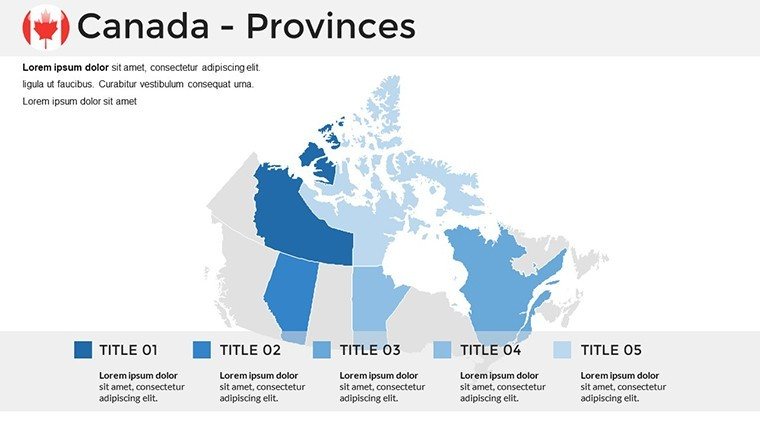
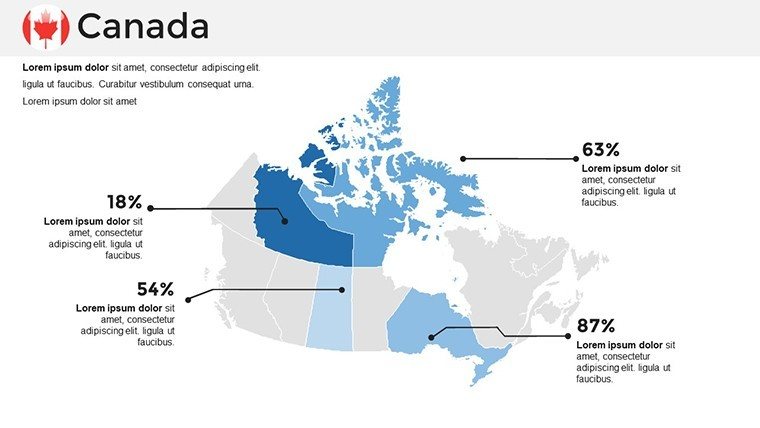
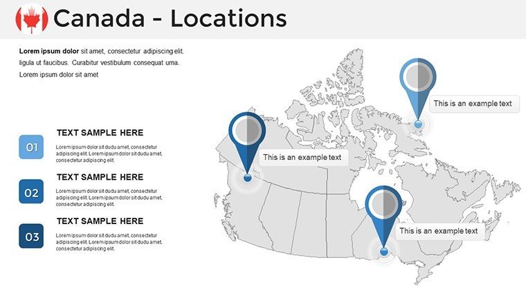
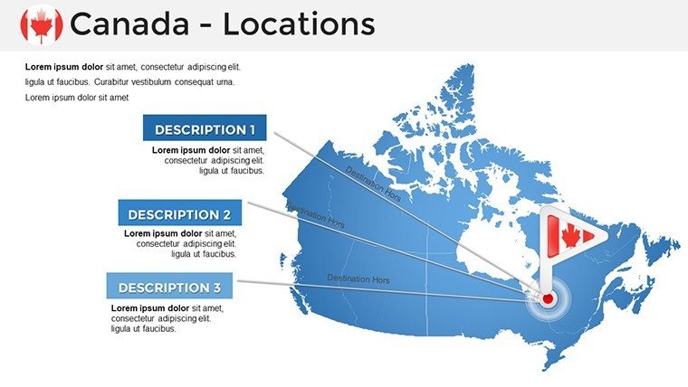
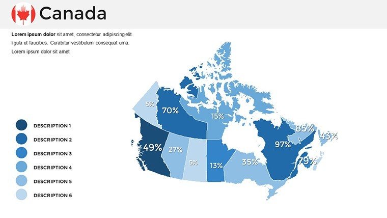
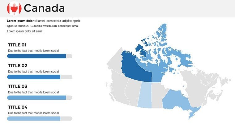
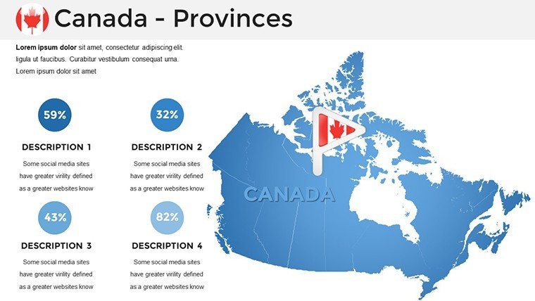
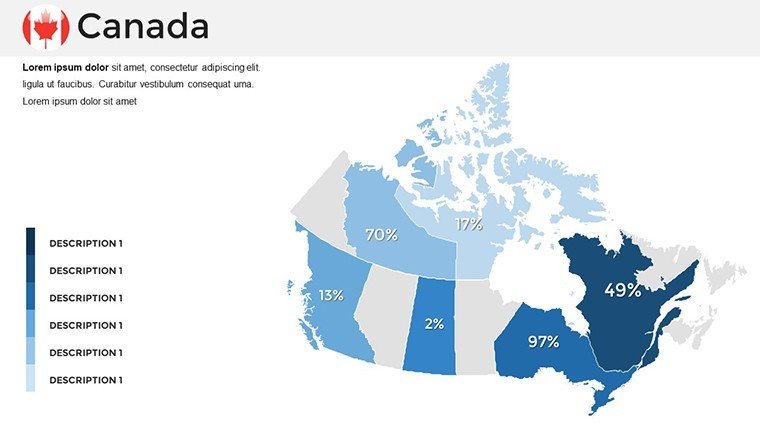
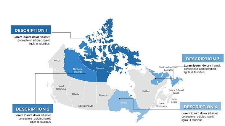
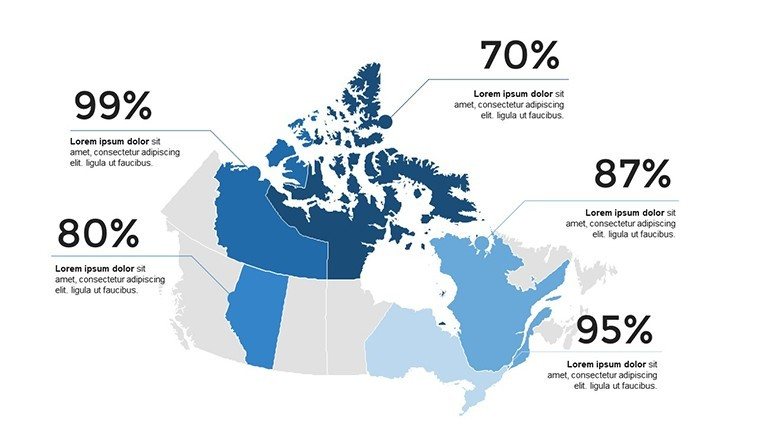
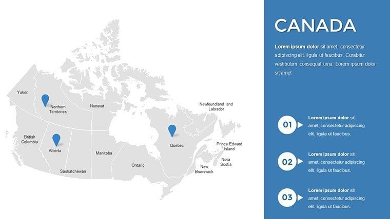
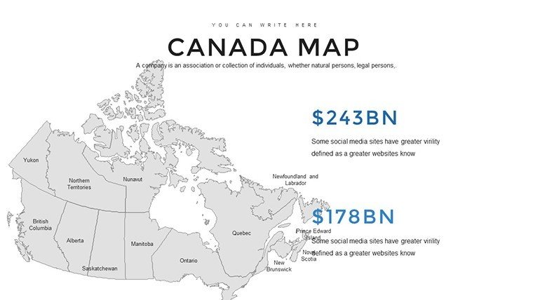
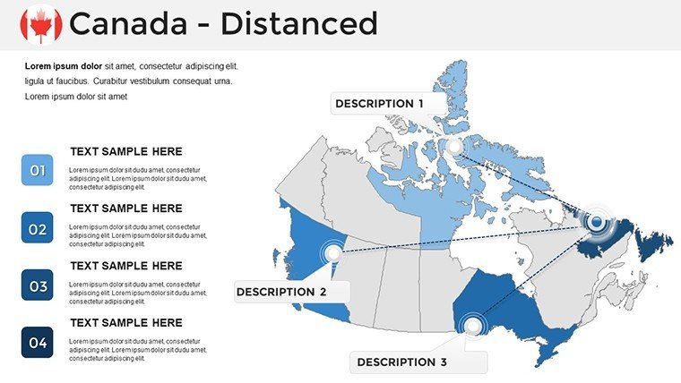
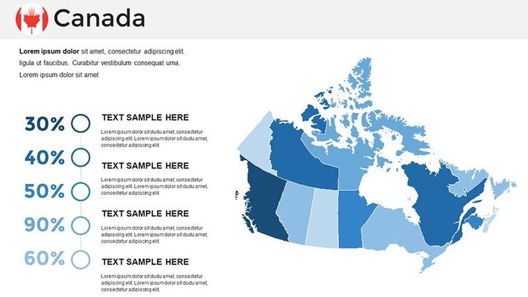
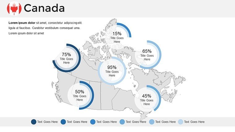
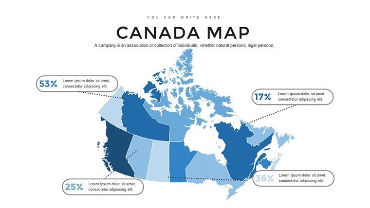
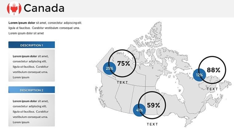
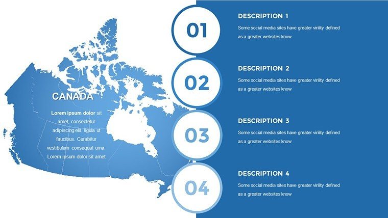
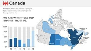
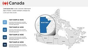
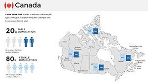
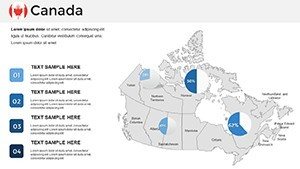
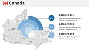
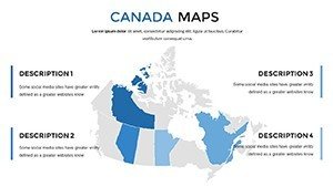
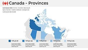
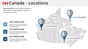
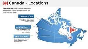
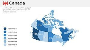
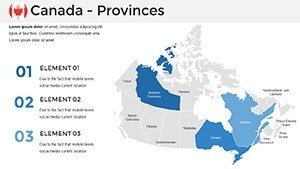
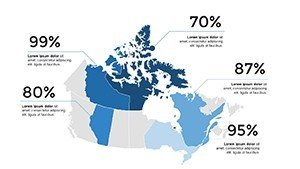
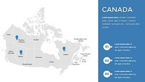
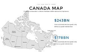
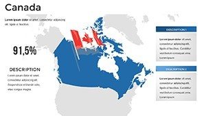
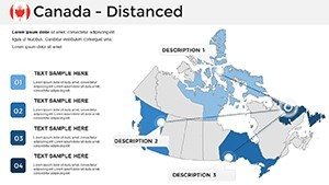
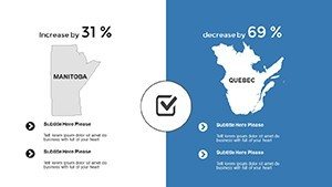
The template kicks off with foundational slides: Slide 1 offers a blank Canada outline for freeform annotations, perfect for brainstorming sessions. Progress to Slides 2-10, which focus on provincial breakdowns - edit labels to include specifics like GDP figures for Ontario or tourism revenue for Prince Edward Island. Midway through, Slides 11-20 introduce city-centric maps, where you can pinpoint locations like Calgary's Stampede grounds or Ottawa's parliamentary district with draggable markers. For data-driven users, Slides 21-30 incorporate heat map options, allowing color gradients to represent variables such as population density or climate variations - imagine visualizing warmer coastal areas versus the frigid Arctic north. The final Slides 31-37 provide thematic variations, including political divisions, physical topography, and even blank canvases for hybrid creations. Each slide supports text boxes for notes, ensuring you can weave in narratives, like how Vancouver's port influences global trade. Tips for optimization: Use contrasting colors for accessibility, adhering to WCAG guidelines, and layer animations to reveal data progressively, keeping viewers hooked.
Real-World Applications: Tailored for Diverse Professionals
For educators, this template turns abstract lessons into tangible experiences - picture a high school class exploring Indigenous territories by customizing maps with historical overlays, fostering deeper understanding. Business professionals might leverage it for strategic planning, such as a retail chain analyzing store locations across the Maritimes versus the Prairies, complete with integrated charts showing sales trends. In the tourism sector, craft pitches that highlight hidden gems, from Niagara Falls to the Yukon wilderness, using editable paths to trace travel itineraries. Government analysts can apply it to policy briefs, mapping infrastructure projects like the Trans-Canada Highway upgrades or renewable energy sites in wind-rich Saskatchewan. Compared to starting from scratch in PowerPoint, which often results in mismatched scales or outdated boundaries, this pre-built template ensures accuracy drawn from reliable sources, boosting your authoritativeness. Workflow integration is seamless: Import data from Excel for quick updates, or export slides to PDF for handouts. Users report saving up to 50% more time, allowing focus on content over design. Whether pitching to investors on biotech hubs in Montreal or presenting conservation efforts in Banff National Park, these maps elevate your message with flair.
Enhancing Engagement: Tips and Best Practices
- Start with audience analysis: For corporate settings, emphasize economic zones; for academic, add educational quizzes via hyperlinks.
- Incorporate multimedia: Embed videos of Canadian landmarks directly into slides for immersive experiences.
- Customize for branding: Swap default blues and reds with your palette to maintain consistency across decks.
- Test for compatibility: Preview in Google Slides to ensure edits transfer smoothly during collaborations.
- Measure impact: Use feedback tools post-presentation to refine future uses, like adding more interactive elements.
Beyond basics, advanced users can merge slides with other templates for hybrid decks - pair with timeline charts for historical evolutions or graph overlays for statistical depth. This versatility addresses common pain points, such as aligning maps with data visuals, ensuring a cohesive flow that impresses even the most discerning viewers.
Why This Template Stands Out in a Sea of Options
What sets our Canada Maps Template apart is its blend of functionality and aesthetics, informed by design principles from experts like Edward Tufte, who championed clear data visualization. With 37 slides, it offers more variety than many competitors, covering everything from macro overviews to micro details without overwhelming the user. Trust in its quality: Each map is vetted for geographic accuracy, avoiding errors that could undermine credibility. For instance, in urban planning scenarios, architects might use it to illustrate zoning in Toronto, aligning with Canadian Institute of Planners standards. The result? Presentations that not only convey information but spark discussions, leading to better outcomes like approved projects or engaged students. Subtle CTAs throughout encourage action: Ready to map your next big idea? Download and start customizing today.
In wrapping up, this template isn't just a tool - it's a gateway to more effective communication. Whether you're navigating complex data or simply sharing the beauty of Canada's diverse regions, it delivers value that extends far beyond the slides. Elevate your presentations and leave a lasting impression - your audience deserves nothing less.
Frequently Asked Questions
- How editable are the maps in this template?
- Every element is fully customizable, from colors and labels to shapes and data points, using standard PowerPoint tools - no advanced skills required.
- Is it compatible with older PowerPoint versions?
- Yes, it works with PowerPoint 2016 and later, as well as Google Slides for cloud-based editing.
- Can I use these maps for commercial purposes?
- Absolutely, the template is licensed for professional use, including business reports and client presentations.
- What if I need more slides or variations?
- You can duplicate and modify existing slides easily, or contact support for custom expansions.
- Are there any geographic inaccuracies?
- No, maps are based on current standards from reliable sources like Natural Resources Canada.