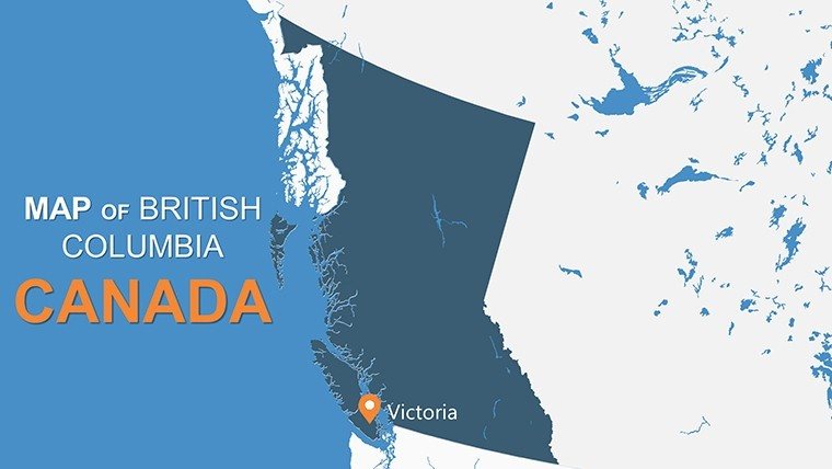
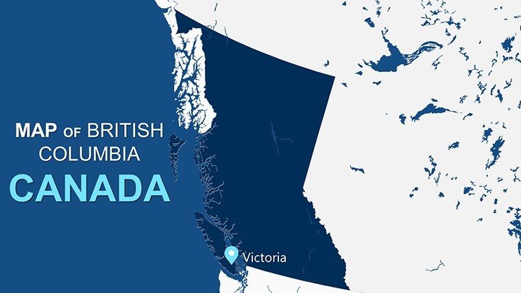
British Columbia PowerPoint Map: Navigate Canada's Coastal Gem


Type: PowerPoint Maps template
Category: North America
Sources Available: .pptx
Product ID: PM00094
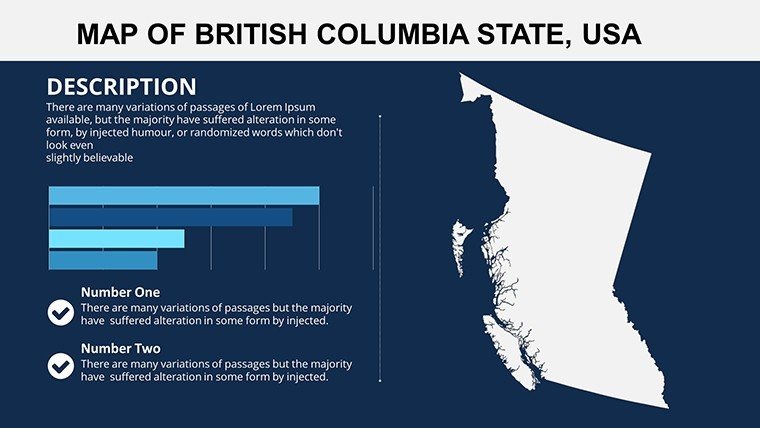
Template incl.: 12 editable slides
Step into the dramatic fjords of Vancouver Island or the towering Rockies of the Interior - our British Columbia PowerPoint Map Template makes it possible in just 12 potent slides, perfect for architects dreaming up resilient seawall designs or marketers plotting eco-tourism routes. This compact powerhouse, optimized for PowerPoint and Google Slides, lets you customize provinces' nooks - from urban Vancouver to remote Haida Gwaii - with infographics that tell stories of innovation and nature's might.
Its appeal? Tailored brevity for fast-paced pros, with high-fidelity layouts that echo CMHC housing reports. Overlay zoning layers for site feasibility in Kelowna, adhering to OAA standards. For $10, it's accessible excellence, condensing weeks of mapping into minutes. Scoop up the BC template and sail into superior storytelling.
Compact Power: Standout Features
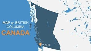
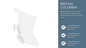
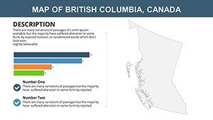
Efficiency reigns here. Inaugural slide panoramas the province, tweakable for focus on regions like the Fraser Valley. Palette shifts from oceanic teals to alpine grays, mirroring diverse biomes.
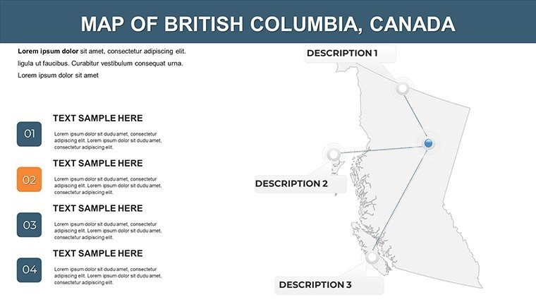
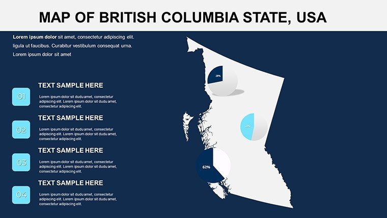
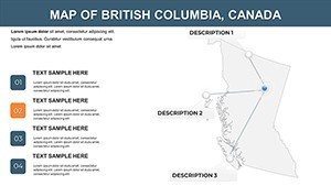
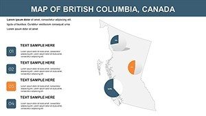
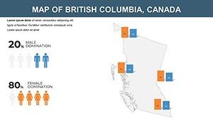
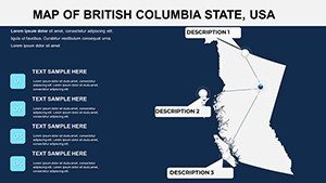
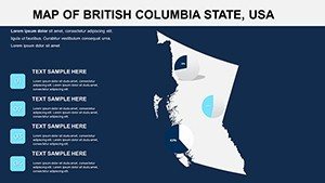
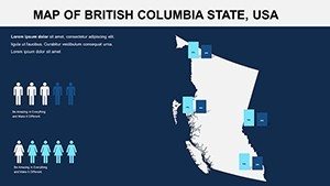
- Regional Spotlights: Insets for key areas, annotating ports or parks for logistics visuals.
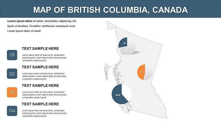
- Trend Trackers: Line embeds for forestry yields, clarifying economic narratives.
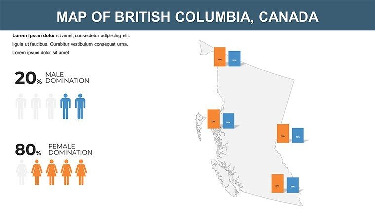
- Symbol Suite: 30+ icons, like salmon runs or ski lifts, for thematic punch.
Subtle zooms animate explorations, from coast to Kootenays. Trumps basic tools in load speed (under 2MB), ideal for mobile edits. Tourism reps leverage slide 8 for attraction clusters, spiking interest.
Swift Customization Secrets
Master tweak: Apply global styles for instant rebrands - clean lines for modern Vancouver pitches. Fuse StatsCan data via charts. Insight: Duplicate for variants, as in Squamish's gondola proposal that clinched community buy-in.
Pacific Possibilities: Use Case Spotlights
Lean yet loaded. Developers chart transit hubs in Surrey, with bubble maps for density forecasts. Classrooms trace fur trade paths, syncing with BC curriculum for interactive history.
- Sustainable Builds: Layer climate risks on coastal zones for resilient designs.
- Market Maps: Pin retail expansions in Okanagan, forecasting sales.
- Adventure Guides: Route whales to wineries, captivating agencies.
A Kamloops planner used it for irrigation overviews, landing irrigation deals. Flow: Ingest from Google Earth, polish, share via Teams. Launch your BC voyage - download and discover.
Versus the Rest
Outweighs free maps in polish and portability. 4.7/5 for conciseness. Quip: "From Rainforest to Rockies - Your Map to More."
Boost with clickable districts for deep dives. Finale: Partner slide with contacts.
Trusted Trails: Expert Angles
Targets "British Columbia maps PowerPoint" organically. from NRCan geo-data ties. Zippy? Built-in previews. Pros: Batch via add-ins. Featured in Vancouver Urbanism talks.
Coast to summit - claim your template and crest the wave.
Frequently Asked Questions
Editable to the core?
All elements tweakable, vectors intact for flawless scales.
For Canadian planning pros?
Tailor-made, with overlays for provincial regs.
Slide number?
12 streamlined for impact.
Dynamic reveals?
Built-in pans and pops for engagement.
Cross-platform?
Yes, PowerPoint to Slides harmony.
External stats?
Plug in from CSV or APIs seamlessly.