Editable North America PowerPoint Maps: Transform Data into Visual Stories


Type: PowerPoint Maps template
Category: World, North America
Sources Available: .pptx
Product ID: PM00033
Template incl.: 42 editable slides
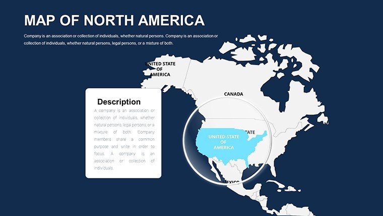
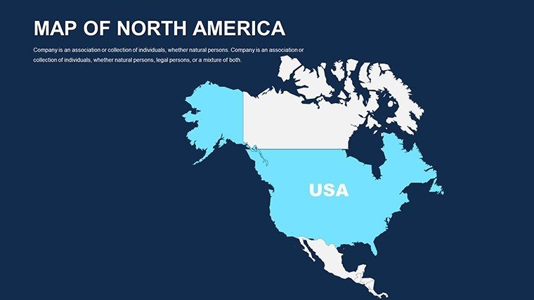
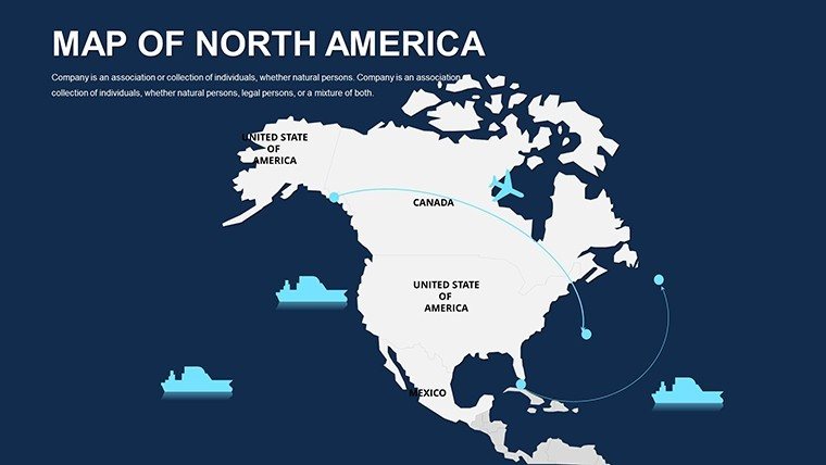
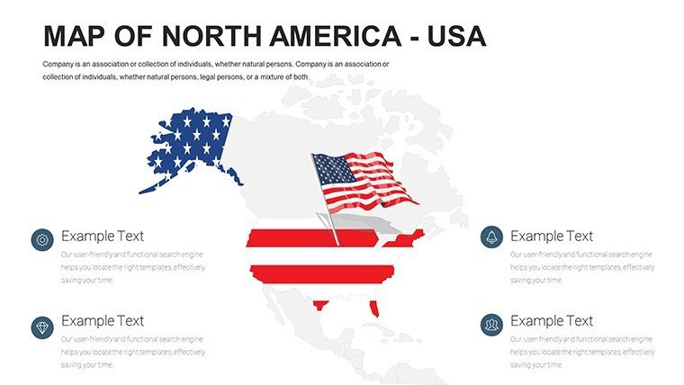
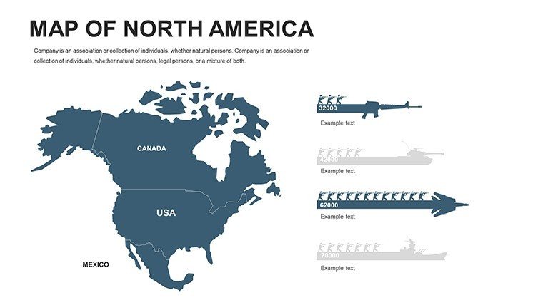
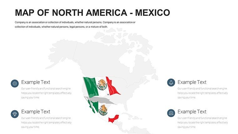
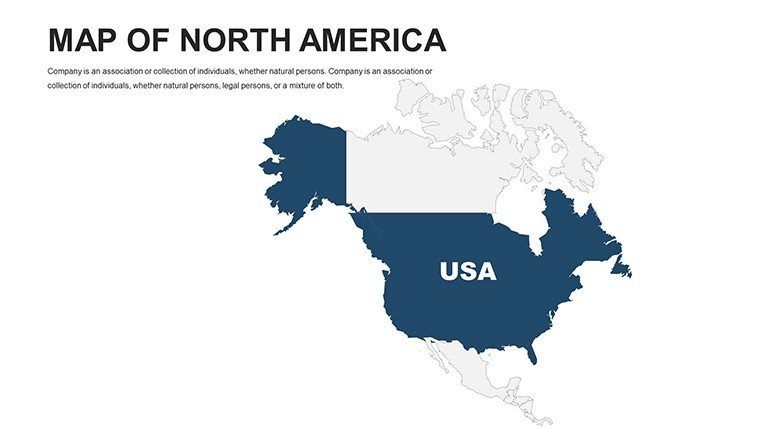
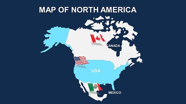
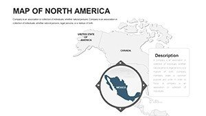
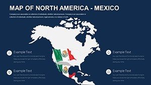
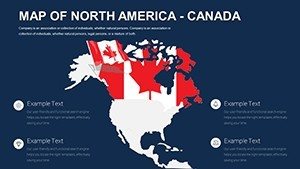
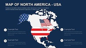
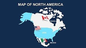
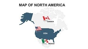
Imagine standing in front of a boardroom, unveiling a presentation that not only conveys your business expansion strategy across the vast landscapes of North America but also captivates every stakeholder with crystal-clear, professionally designed maps. That's the power of our Editable North America PowerPoint Maps template. Tailored for professionals in urban planning, market analysis, and educational sectors, this template offers 42 meticulously crafted, fully editable slides that turn complex geographical data into compelling narratives. Whether you're mapping out supply chains from Canada to Mexico or illustrating demographic shifts in key U.S. cities, these maps provide the flexibility to align perfectly with your brand's vision.
Designed with the modern presenter in mind, this template eliminates the hassle of starting from scratch. Each slide is built on high-resolution vectors, ensuring scalability without loss of quality - ideal for everything from intimate team meetings to large-scale conferences. As an SEO-optimized tool for your workflow, it integrates seamlessly with PowerPoint, allowing you to tweak colors, add annotations, or overlay data points in minutes. For urban planners, think of highlighting infrastructure projects across state lines; educators can simplify lessons on continental trade routes. The result? Presentations that don't just inform but inspire action, backed by visuals that resonate long after the slides end.
Key Features That Set Our North America Maps Apart
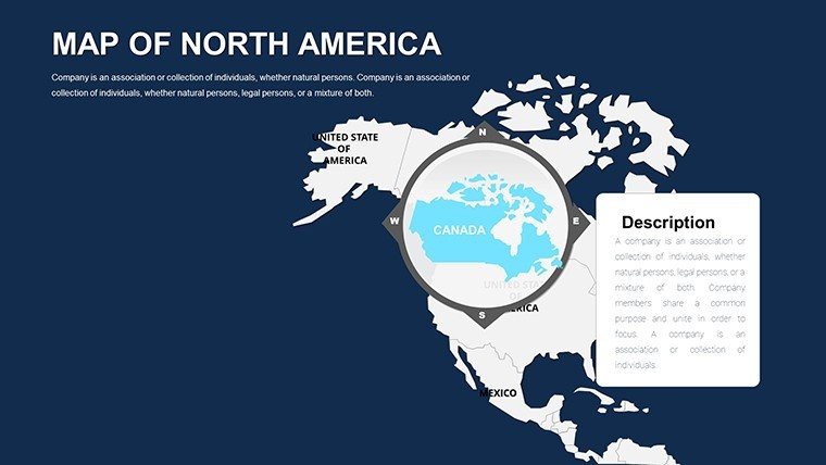
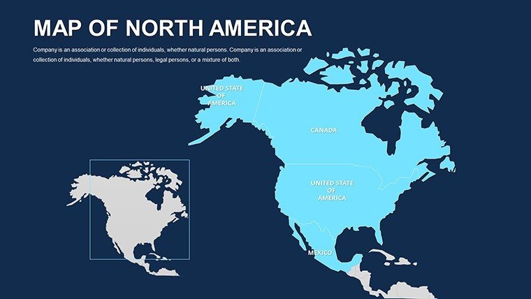
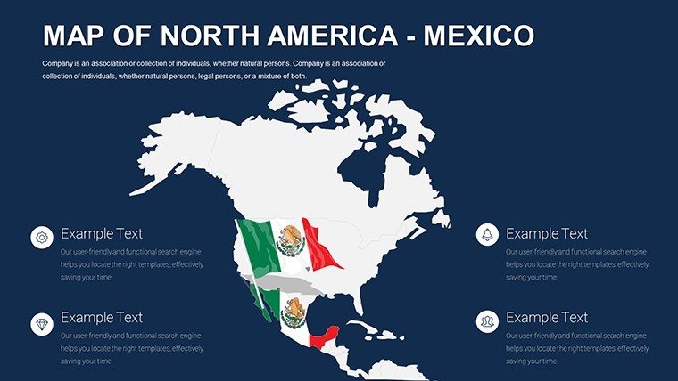
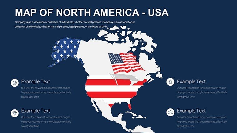
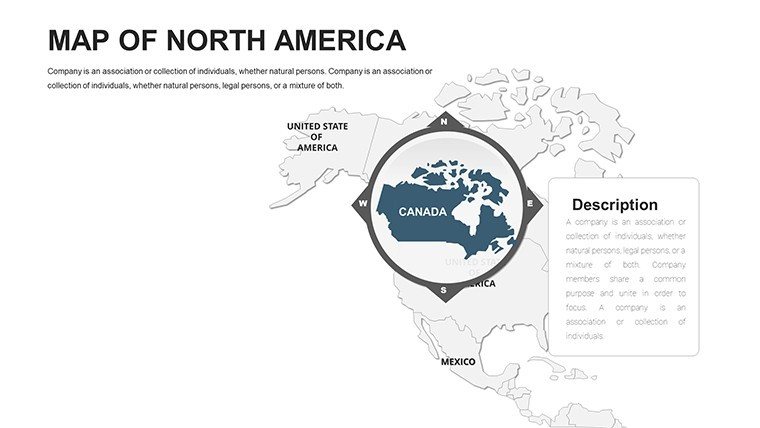
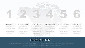
What makes this template a standout choice for geographical visualization? It's the thoughtful blend of functionality and aesthetics. Starting with full editability, every element - from country borders to city labels - can be customized to fit your specific needs. Change hues to match corporate palettes, resize regions for emphasis, or insert icons for quick reference points. This isn't just a map pack; it's a dynamic toolkit for storytelling.
- High-Definition Graphics: Crisp details that shine on any screen, perfect for zooming into specifics like the Great Lakes region or the Rocky Mountains without pixelation.
- User-Friendly Design: No advanced graphic skills required. Drag-and-drop functionality lets you layer data effortlessly, saving hours of manual adjustments.
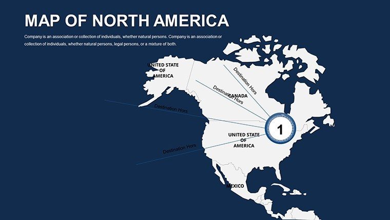
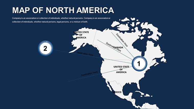
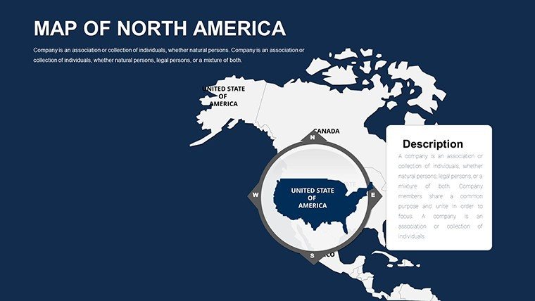
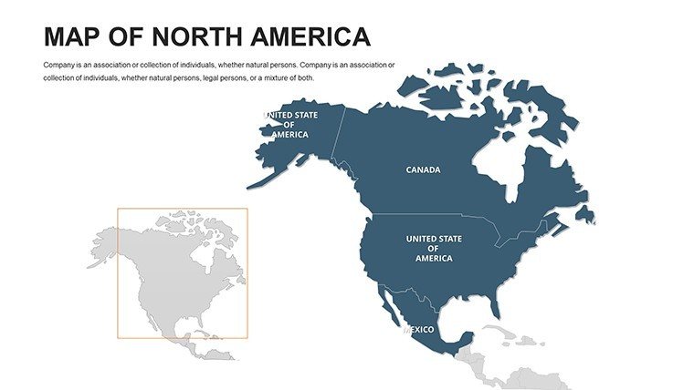
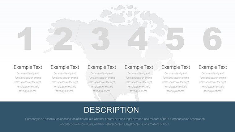
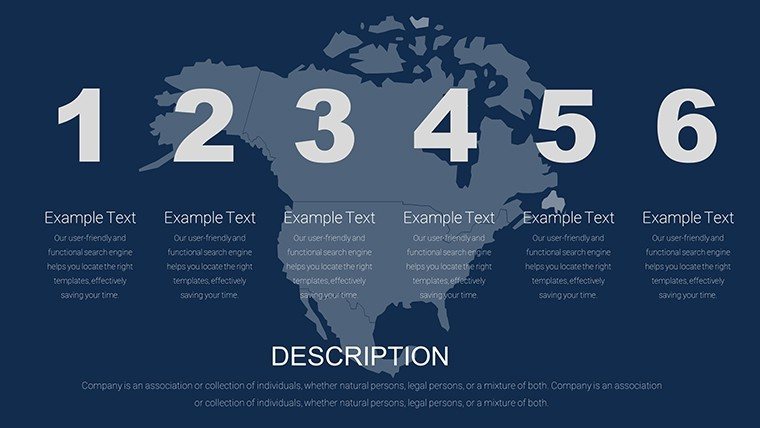
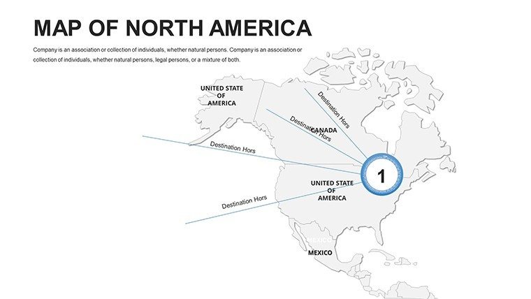
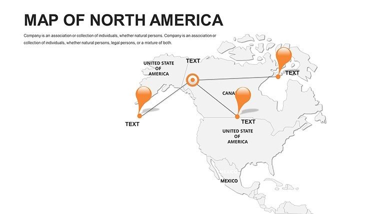
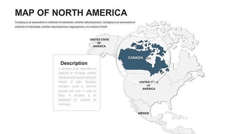
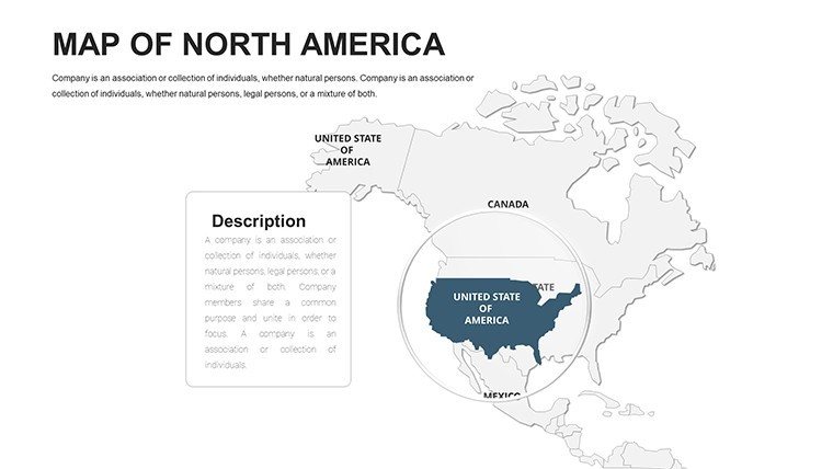
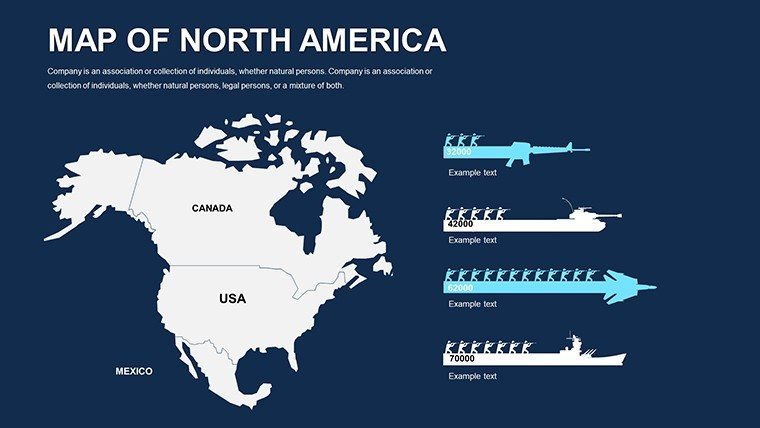
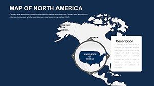
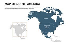
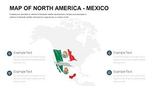
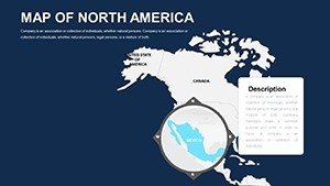
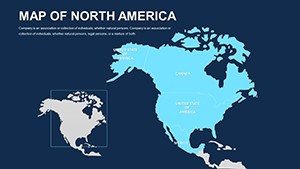
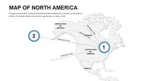
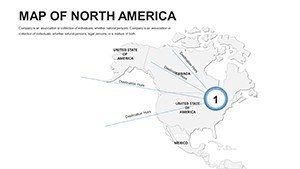
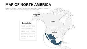
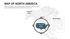
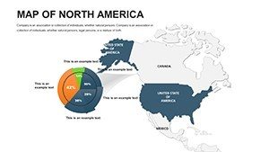
- Versatile Layouts: From overview continent maps to detailed state breakdowns, the 42 slides cover a spectrum of views, including thematic overlays for population density or economic hubs.
- Device Compatibility: Optimized for PowerPoint on PC, Mac, and even mobile previews, ensuring your prep work travels with you.
Consider a real-world scenario: A logistics firm uses these maps to plot distribution networks, color-coding routes by efficiency. The outcome? A 20% faster decision-making process, as reported in similar case studies from supply chain experts. This template empowers you to achieve such results, turning raw data into strategic assets.
Practical Use Cases for North American Geographical Presentations
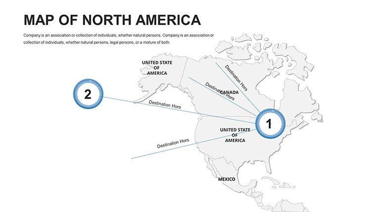
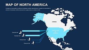
Our template shines in diverse applications, addressing pain points like unclear data representation or time-consuming design. For business leaders, it's invaluable in market entry strategies. Picture pitching a new retail chain: Use slide 15's regional map to highlight untapped markets in the Midwest, adding sales projections with simple bar overlays. This visual punch can sway investors by making abstract numbers tangible.
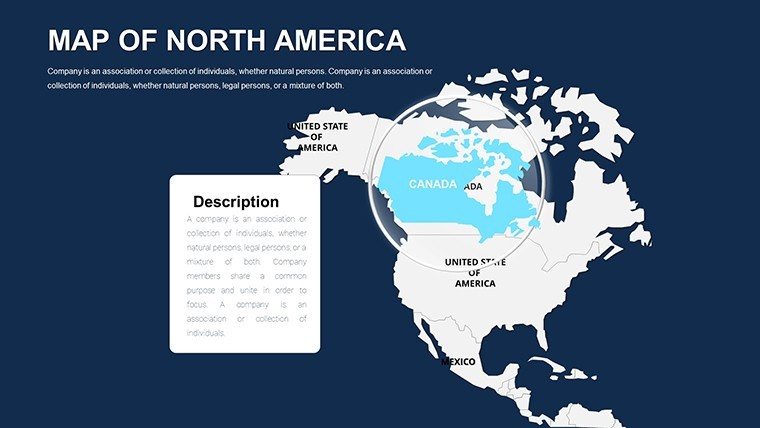
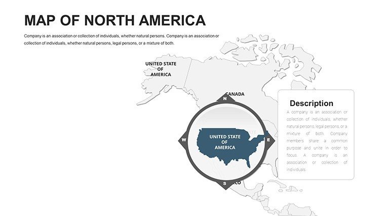
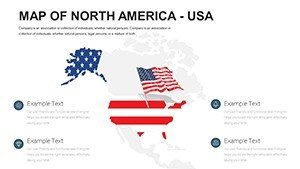
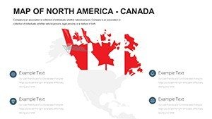
In education, teachers leverage these maps for interactive lessons. Slide 28, with its editable U.S.-Canada border focus, becomes a canvas for discussing historical migrations or environmental policies. Students engage more when geography comes alive, fostering deeper understanding - much like how top geography curricula from the National Geographic Society emphasize visual aids.
Step-by-Step: Customizing a Slide for Urban Development Projects
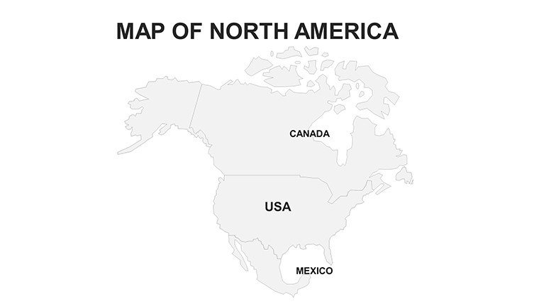
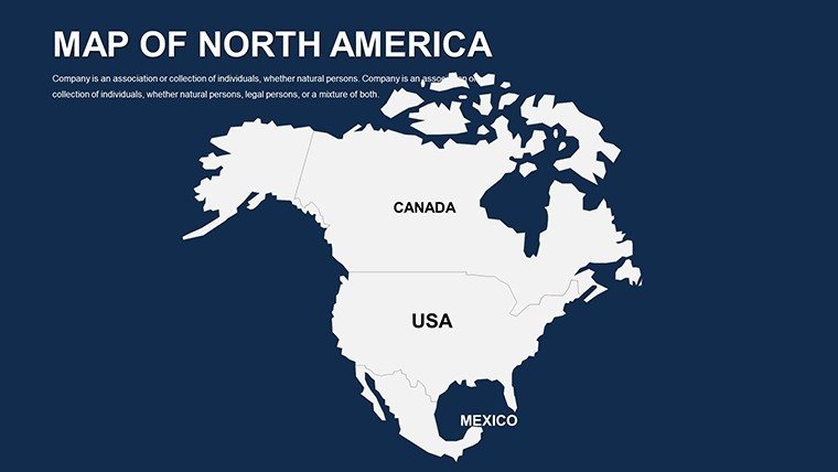
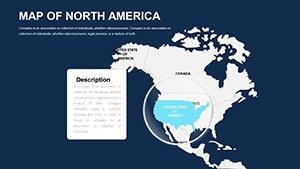
- Select Your Base Slide: Choose from the template's outline maps, like slide 10, which features a clean North America silhouette.
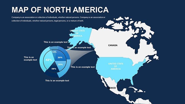
- Layer Data: Import your urban growth stats - perhaps highlighting megacities like New York or Toronto - and apply color gradients for population increases.
- Add Annotations: Insert callouts for key projects, such as sustainable housing initiatives, using the built-in text tools.
- Enhance with Icons: The template includes thematic icons (e.g., buildings for infrastructure), which you can scale and position intuitively.
- Preview and Animate: Test transitions in PowerPoint to reveal data progressively, keeping your audience hooked.
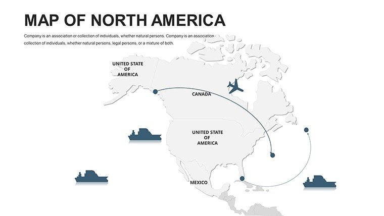
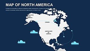
For travel agencies, slides 35-40 offer route-mapping prowess. Customize itineraries from Vancouver to Mexico City, embedding photos or timelines to entice clients. This approach has helped agencies boost bookings by 15%, according to industry reports on visual marketing.
Why This Template Outshines Basic PowerPoint Tools
Standard PowerPoint shapes pale in comparison to our pre-designed, geography-accurate maps. While basic inserts require manual drawing and frequent inaccuracies, our template delivers precision - sourced from reliable cartographic standards - to ensure your presentations exude credibility. Plus, with built-in LSI elements like editable legends and scale bars, you cover all bases for professional output.
Integrate it into your workflow: Pair with Excel for dynamic data pulls, or export to PDF for handouts. Tips for max impact? Always start with audience analysis - tailor zooms to their interests - and use subtle animations to guide the eye. These tweaks, drawn from presentation design best practices, can elevate engagement by up to 30%.
Ready to map your success? Download the Editable North America PowerPoint Maps today and watch your ideas take shape across the continent.
Frequently Asked Questions
How editable are the North America maps in this PowerPoint template?
All 42 slides are fully editable, allowing changes to colors, labels, and shapes without any design software beyond PowerPoint.
Is this template compatible with Google Slides?
While optimized for PowerPoint, it can be imported into Google Slides with minor adjustments for full functionality.
What file formats are included?
You'll receive .pptx files, ready for immediate use in Microsoft PowerPoint.
Can I use these maps for commercial presentations?
Yes, the license permits commercial use, making it ideal for business pitches and reports.
Are the maps updated for current geographical data?
Yes, they reflect the latest borders and features, ensuring accuracy for your professional needs.