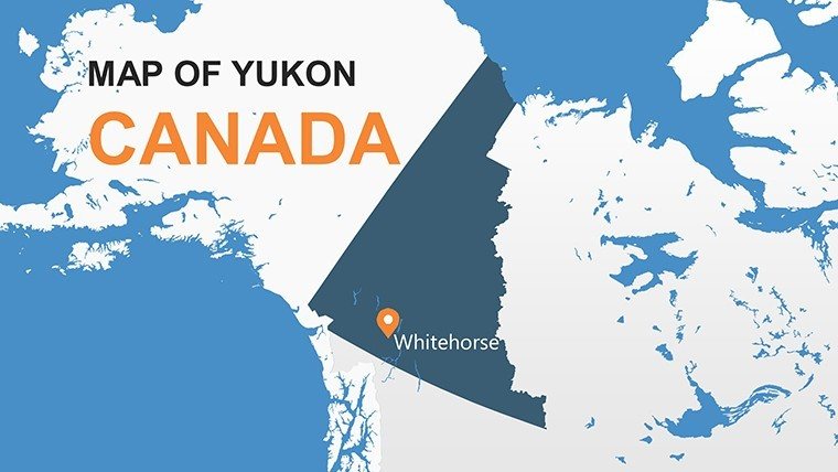
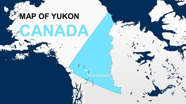
Yukon Canada Maps: PowerPoint Template Download


Type: PowerPoint Maps template
Category: North America
Sources Available: .pptx
Product ID: PM00156
Template incl.: 14 editable slides
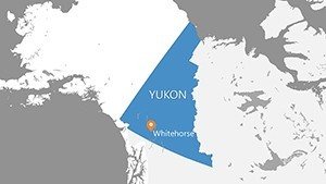
Journey to the land of the midnight sun with our Yukon Canada PowerPoint Maps template, a compact yet powerful set of 14 editable slides that blend geographical precision with data visualization tools. Designed for researchers, educators, environmentalists, and northern business leaders, this template illuminates Yukon's vast territories - from the aurora-lit skies over Whitehorse to the glacial expanses of Kluane National Park. Fully compatible with PowerPoint and Google Slides, it's the ideal tool for presentations that demand clarity in remote, rugged contexts.
Visualize climate change impacts on the Yukon River or demographic shifts in Dawson City with ease, using integrated charts and infographics that turn raw data into compelling narratives. Our professional design saves you from tedious builds, offering flexibility to add annotations for mining sites or wildlife corridors, while modern aesthetics ensure your slides resonate in academic conferences or corporate strategy sessions.
Consider a biologist mapping caribou herds across the territory's 482,000 square kilometers, or a tourism board highlighting adventure routes - the template's interactivity fosters deeper understanding, outperforming basic maps with its built-in analytics-ready graphs.
Core Components: Maps, Charts, and Beyond
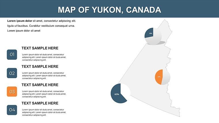
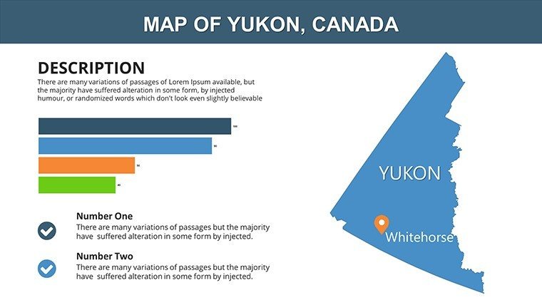
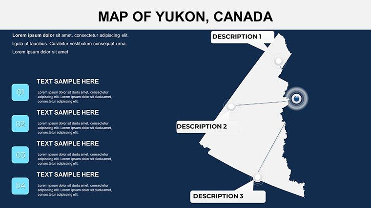
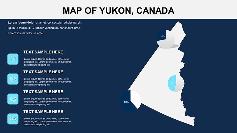
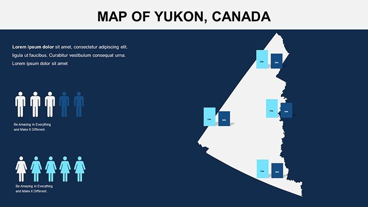
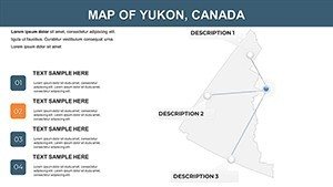
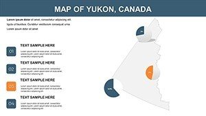
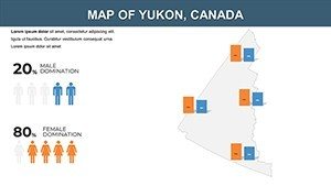
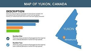
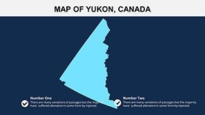
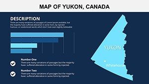
The 14 slides start with a territorial overview, progressing to detailed regional maps of areas like the Peel Watershed. Accompanying charts - bar graphs for population (around 40,000 residents) and pie charts for resource sectors - sit alongside infographics simplifying indigenous land claims.
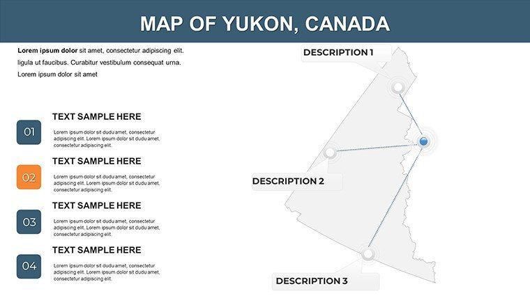
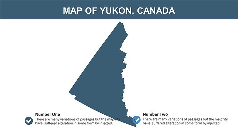
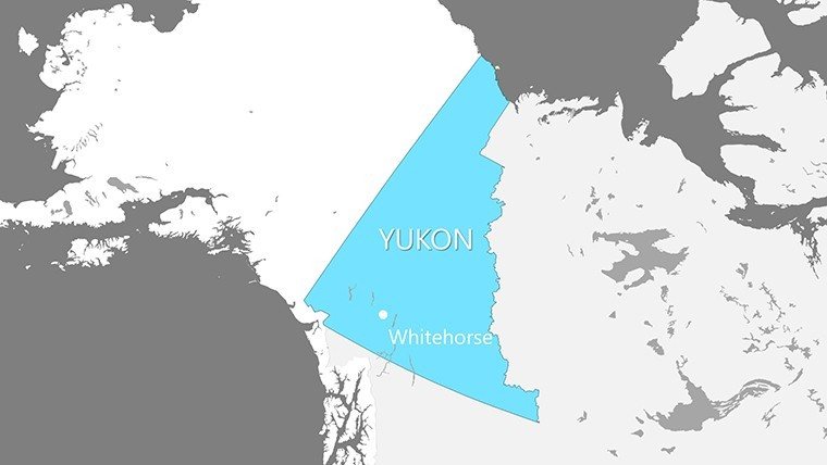
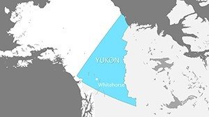
- Interactive Maps: Detailed, customizable views of cities, landmarks, and boundaries, ready for highlighting the Alaska Highway.
- Charts and Graphs: Versatile options like line graphs for temperature trends in the subarctic climate.
- Illustrations and Infographics: Stylized elements to depict aurora borealis patterns or permafrost thaw risks.
Unlike standalone PowerPoint charts, these integrate seamlessly with maps, maintaining data-map synchronization for accurate storytelling.
Effortless Editing: From Download to Delivery
- Acquire the File: Download the .pptx and open in PowerPoint or Google Slides instantly.
- Modify Elements: Adjust colors for territorial themes, like icy blues for the Beaufort Sea coast.
- Incorporate Data: Paste stats from sources like Statistics Canada into graphs for economic overviews.
- Enhance with Animations: Animate infographics to reveal layers of Yukon's gold rush history.
- Distribute: Share via cloud links or export to video for remote audiences.
Expert advice: For research papers, align visuals with Canadian Geographical standards, adding scale bars for precise distance measurements in the Nahanni region.
Targeted Applications: Research to Recreation
Educators use it for lessons on Yukon's First Nations, mapping treaty lands with student inputs. Researchers at the Yukon University visualize biodiversity hotspots, citing a 20% efficiency gain in slide prep from university feedback. Business pros in mining chart resource allocations in the Keno Hill district, using overlays for environmental compliance.
Government entities plan infrastructure, like renewable energy grids, with data-driven maps that influenced policy in recent territorial reports. Travel agencies promote eco-tours, integrating photos of the Tombstone Range into slides. This template's northern focus - covering unique features like the Dempster Highway - provides an edge over generic Canadian maps, enabling nuanced discussions on climate resilience.
Pair with QGIS for advanced data imports or integrate into Zoom presentations for virtual northern expos. The outcome: Engaged stakeholders who grasp Yukon's complexities, from permafrost engineering challenges to cultural heritage preservation.
Professional Edge: Why Yukon Templates Excel
Flexibility meets sophistication here - clean lines and modern fonts project authority, while free updates keep content current with territorial changes. A Whitehorse consultant shared how it streamlined grant proposals, enhancing visual appeal without design expertise. Demonstrate by cross-referencing Environment Canada data, solidifying your presentation's credibility.
Ready to illuminate the north? Download the Yukon Canada PowerPoint Maps template immediately and craft slides that shine as brightly as the aurora.
Bring Yukon's magic to your audience - start editing and inspiring now.
Frequently Asked Questions
How flexible is the customization?
Slides allow full tweaks to objects, colors, and fonts, perfect for personalizing to your needs.
Can I use this for commercial purposes?
Yes, it's licensed for business, educational, and research applications without limitations.
Are updates free with purchase?
Indeed, receive complimentary upgrades to stay aligned with new data.
Does it include Google Slides support?
Full compatibility ensures smooth editing in collaborative environments.
What types of charts are available?
Bar, pie, and line graphs, all map-integrated for Yukon's specific data needs.