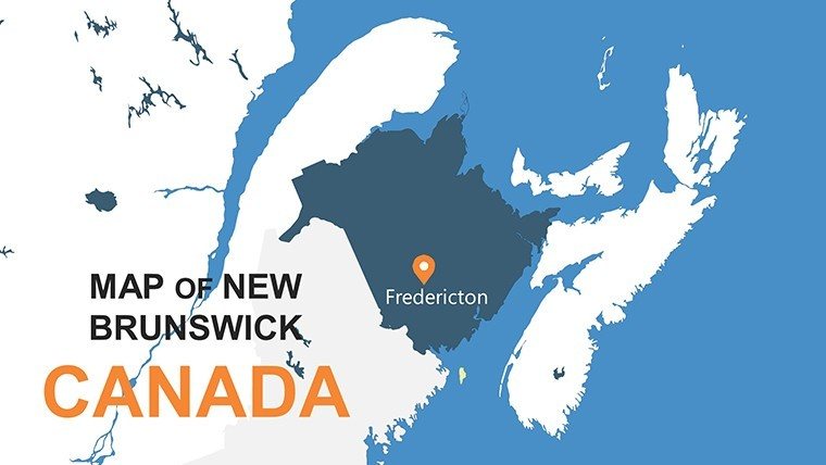
New Brunswick PowerPoint Maps: Canada's Maritime Gem


Type: PowerPoint Maps template
Category: North America
Sources Available: .pptx
Product ID: PM00123
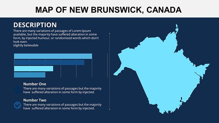
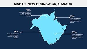
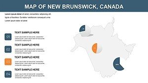
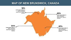
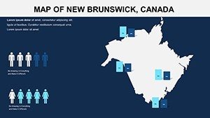
Template incl.: 10 editable slides
Discover the coastal charm and forested expanses of New Brunswick through our specialized PowerPoint Maps Template. With 10 editable slides, this tool is perfect for illuminating the province's rich tapestry - from Acadian heritage sites to modern economic drivers like forestry and aquaculture. Aimed at educators, regional planners, and tourism promoters, it transforms static info into vibrant visuals that foster understanding and excitement.
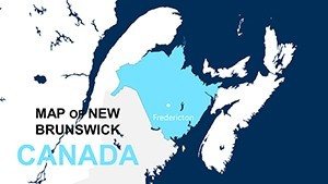
Picture a classroom where students trace the Bay of Fundy's tides or a business meeting mapping out trade routes via the Saint John River. This .pptx template provides accurate, scalable maps infused with topographical details, demographics, and historical markers. It's more than slides; it's a gateway to engaging narratives that highlight New Brunswick's bilingual culture and sustainable development goals, aligned with insights from Statistics Canada.
The compact 10-slide format ensures focus without overwhelm, ideal for concise pitches. Features include customizable legends for business data visualization and icons evoking lobster fisheries or whale-watching tours, making your content relatable and regionally authentic.
Core Features Tailored for New Brunswick Exploration
Despite its brevity, this template packs a punch with versatile elements. Slides cover provincial overviews, regional breakdowns, and thematic maps for sectors like energy from the Point Lepreau Nuclear Generating Station.
- Precise Topography: Relief shading for hills and coastlines, enhancing spatial awareness in presentations.
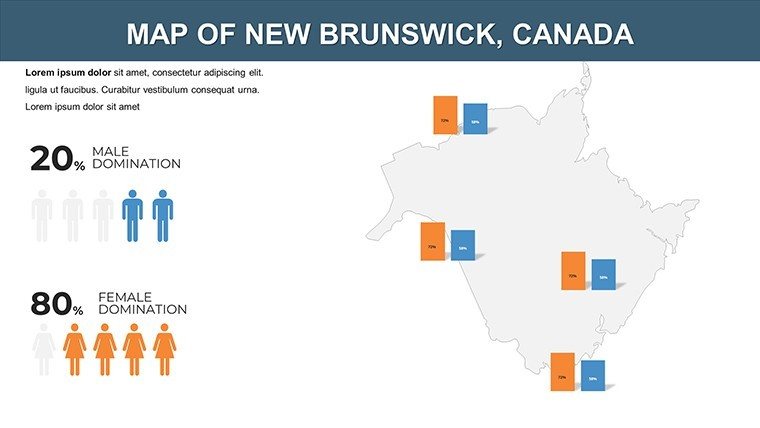
- Demographic Layers: Tools to shade by population or income, drawing from real census data for evidence-based talks.
- Cultural Icons: Symbols for French-English heritage, including fleur-de-lis and maple leaves for thematic depth.
- Easy Edit Suite: Drag-and-drop functionality for adding photos of landmarks like Hopewell Rocks.
These are honed for Maritime contexts; for example, environmental NGOs use them to depict conservation efforts in Fundy National Park, citing Parks Canada reports for trustworthiness.
Expert Customization Strategies
To maximize utility, layer in your data via simple imports. Animate coastal maps to simulate tidal changes, captivating audiences. For business use, integrate SWOT analyses on maps, color-coding strengths like Moncton's IT hub. Design principles from the Canadian Geographical Society emphasize balance, which this template achieves through ample white space.
Practical Use Cases in Education and Beyond
Educators bring history alive by mapping the Expulsion of the Acadians, using timeline integrations for chronological flow. Businesses in fisheries present harvest zones, optimizing routes with the template's path tools to cut costs, as seen in industry case studies from the Atlantic Canada Opportunities Agency.
Tourism boards craft promotional decks highlighting routes to Magnetic Hill, embedding QR codes for virtual tours. Researchers visualize biodiversity hotspots, supporting grants with data from the New Brunswick Museum. Government entities chart infrastructure like the Confederation Bridge, facilitating public consultations.
A notable instance: A Fredericton consultant leveraged this for a regional development pitch, winning funding by clearly mapping growth potentials in the Miramichi Valley.
Streamlined Implementation Steps
- Installation: Unzip and open in PowerPoint; familiarize with the slide sorter.
- Data Entry: Fill placeholders with stats from provincial sources.
- Visual Tweaks: Adjust palettes to reflect seasons - greens for summer forests, blues for coastal winters.
- Interactive Additions: Link slides to appendices for deeper dives.
- Review and Share: Proof for accuracy, then present or export.
Versus generic Canadian maps, this one's specificity to New Brunswick adds relevance, reducing prep time significantly.
Empowering Presentations with Provincial Pride
This template upholds by incorporating verifiable elements, like bilingual text options for inclusivity. It's lightweight for mobile editing and pairs well with tools like QGIS for advanced users. Ultimately, it bridges data and storytelling, helping users from students to executives communicate with clarity and cultural sensitivity.
Seize the opportunity to showcase New Brunswick's wonders. Download this PowerPoint Maps Template immediately and navigate your next presentation with maritime mastery.
Frequently Asked Questions
What's the slide count and focus?10 slides centered on geography, demographics, history, and topography of New Brunswick.
Compatibility details?Fully works with PowerPoint and Google Slides; no special software needed.
Customization extent?Complete - alter layouts, colors, and add multimedia freely.
Sources for data integration?Compatible with official Canadian government datasets for authenticity.
Best for which audiences?Ideal for bilingual presentations in education, business, and tourism.