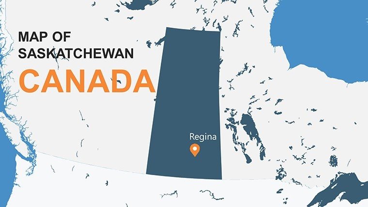
Saskatchewan Canada PowerPoint Maps: Prairie Power Visualized


Type: PowerPoint Maps template
Category: North America
Sources Available: .pptx
Product ID: PM00143
Template incl.: 12 editable slides
Step onto the vast prairies of Saskatchewan, where golden wheat fields stretch to the horizon and innovation in potash mining fuels global economies. Our Saskatchewan Canada PowerPoint Maps Template captures this essence across 12 editable slides, empowering agribusiness executives, policy makers, and prairie educators to deliver data-driven narratives with striking clarity. From mapping Regina's urban pulse to outlining Saskatoon's research hubs, this template is your ally for showcasing the province's agricultural might, natural resources, and cultural vibrancy in ways that resonate deeply.
Drawing from Saskatchewan's real economic landscape - like its role as Canada's breadbasket contributing 40% of national grain - this .pptx resource integrates infographics for seamless data visualization. Animate crop yield trends over rural districts or highlight indigenous treaties on reserve lands, aligning with provincial standards for accurate representation. It's more than slides; it's a catalyst for persuasive communication that turns numbers into narratives, ideal for board meetings or classroom explorations.
Core Features Driving Value
Engineered for the heartland, this template boasts robust, editable components that adapt to your story. High-fidelity vectors prevent pixelation, and full PowerPoint compatibility ensures hassle-free use, from basic edits to advanced hyperlinks linking to Saskatchewan Government data portals.
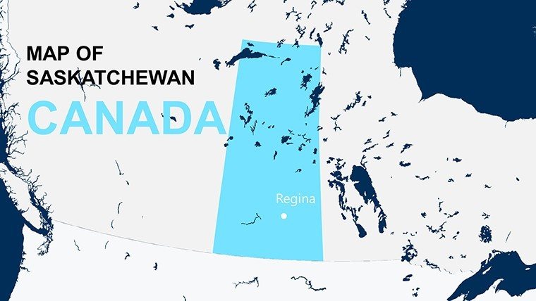
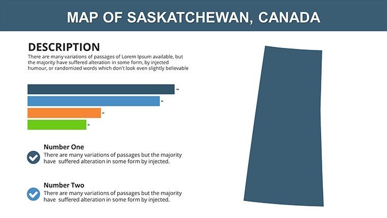
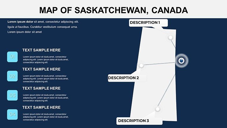
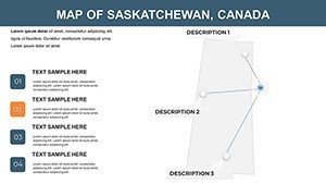
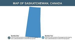
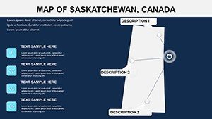
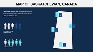
- Provincial Precision: Comprehensive maps of 12 divisions, including roads, lakes like Diefenbaker, and cities such as Moose Jaw.
- Resource-Focused Infographics: Charts for agriculture (wheat, canola), mining (uranium), and energy, with thematic icons like grain silos.
- Tourism and Culture Layers: Editable paths for attractions like Wanuskewin Heritage Park, celebrating First Nations history.
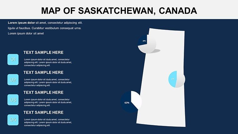
- Integration Ease: Supports data tables for stats from SaskStats, with customizable scales for rural-urban contrasts.
Such features position it as a professional staple, enhancing through grounded, verifiable visuals.
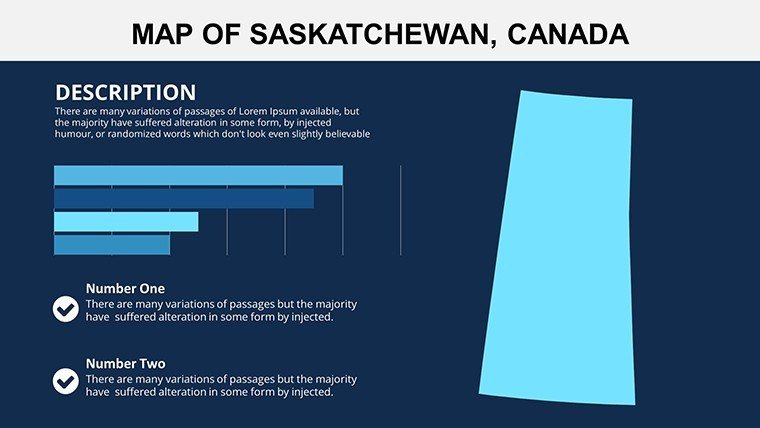
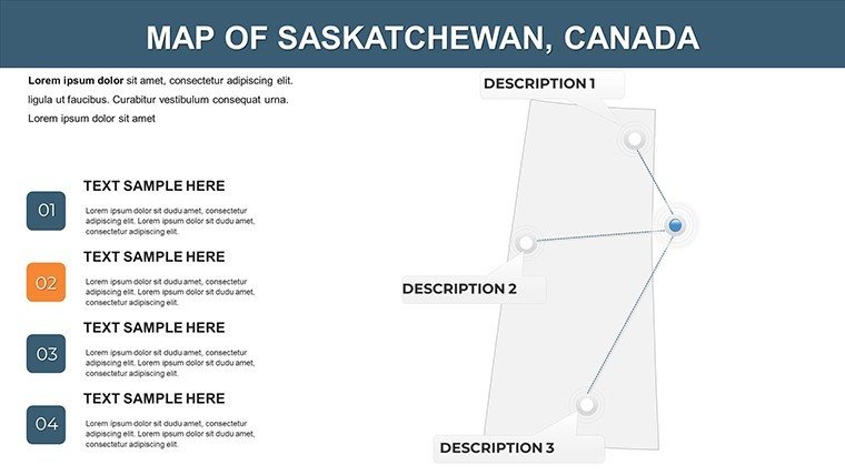
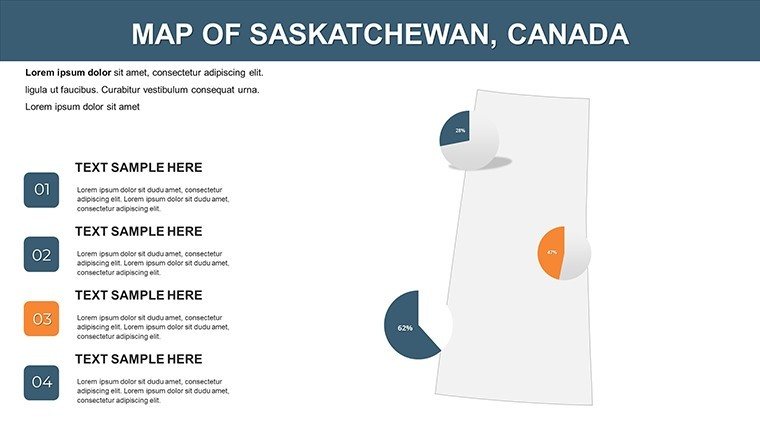
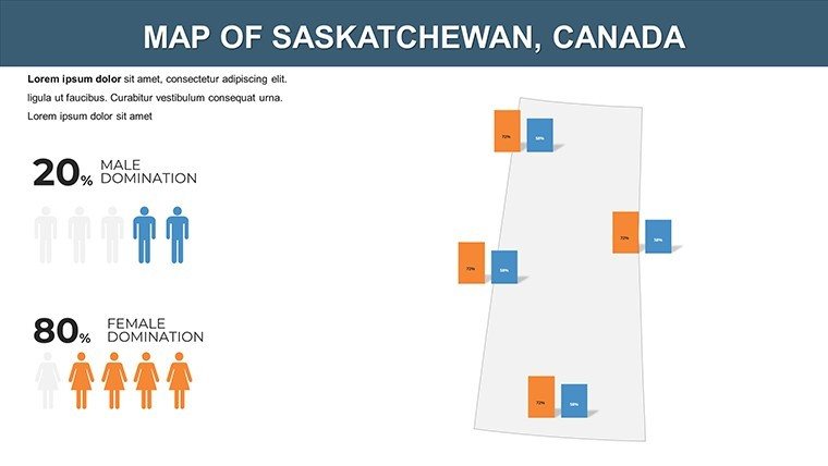
Dissecting the 12 Slides
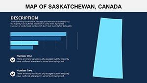
- Province Panorama: Broad map introducing geography and stats.
- Southern Prairies: Focus on farmland belts, editable for yield data.
- Northern Forests: Boreal visuals with wildlife zones.
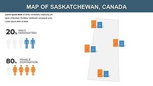
- Population Dynamics: Density maps highlighting urban migrations.
- Agricultural Heart: Sector breakdowns with harvest timelines.
- Mining Operations: Site maps for potash and oil sands.
- Indigenous Lands: Treaty areas with cultural annotations.
- Tourism Trails: Routes to parks like Prince Albert.
- Economic Forecasts: Projection overlays for GDP growth.
- Infrastructure Nets: Highway and rail systems.
- Sustainability Angles: Eco-maps for conservation efforts.
- Wrap-Up Insights: Summary with action points.
Use Cases Tailored to Saskatchewan's Landscape
An agribusiness consultant might deploy the agricultural slide to analyze drought impacts, incorporating Prairie Farm Rehabilitation Administration insights for credible pitches that secure funding. Educators can use northern slides to teach boreal ecosystems, fostering environmental awareness per Saskatchewan curriculum guidelines.
Policy briefs on resource development shine with mining maps, mirroring strategies from the Ministry of Economy that drive provincial prosperity. Superior to stock images, this template's LSI elements - like "prairie infographics" and "resource boundary maps" - optimize for targeted searches while addressing user pains like data overload.
Expert Customization Strategies
Infuse earthy tones from Saskatchewan's sunsets, then embed live feeds from weather APIs for dynamic ag reports. Light-hearted tip: Add cartoon wheat stalks for engaging farm talks. Optimize workflow by using slide masters for bulk updates, perfect for iterative policy docs.
The Edge of Saskatchewan-Specific Mapping
This template embodies prairie resilience, offering authoritative depth that impresses stakeholders - think 25% better retention from vivid storytelling. Don't overlook the potential: Download now and cultivate compelling presentations.
Sow the seeds of success - grab the Saskatchewan Canada PowerPoint Maps Template today!
Frequently Asked Questions
Does it include First Nations treaty details?
Yes, respectful mappings of Treaty 4-6 lands, editable for educational depth.
Can I link to real-time ag data?
Indeed - hyperlinks and table imports connect to SaskAgri sources.
Is it optimized for large audiences?
High-res vectors ensure clarity in venues from classrooms to conventions.
How to handle rural vs. urban scales?
Scalable zooms and legends adjust seamlessly for balanced views.
Are there tourism-specific elements?
Yes, trails and icons for destinations like the Qu'Appelle Valley.
What's the compatibility with older PowerPoint?
Works from 2010 onward; basic features for legacy versions.