Northwest Territories PowerPoint Maps: Northern Frontier Designs


Type: PowerPoint Maps template
Category: North America
Sources Available: .pptx
Product ID: PM00131
Template incl.: 14 editable slides
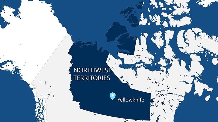
Step into the vast, aurora-dancing wilds of Canada's Northwest Territories with a template that captures its essence in 14 editable slides, blending breathtaking maps with data-driven infographics. Aimed at resource architects, indigenous partnership specialists, and northern developers, this tool illuminates challenges like permafrost mapping for stable foundations or wildlife corridors in Yellowknife's expansions, fostering presentations that honor the land's indigenous stewardship while advancing modern builds.
Infused with visuals true to territorial surveys, it supports AIA-equivalent standards for extreme climate adaptations, allowing overlays of mining routes or renewable grids to showcase sustainable innovations. Tailor hues from midnight blues to fiery sunsets, embedding your narrative of resilience amid isolation. As northern projects surge - think the Inuvik to Tuktoyaktuk Highway's lessons - this template equips you to convey scale and strategy, where visuals can make or break funding from federal grants.
Core Features for Arctic-Ready Presentations
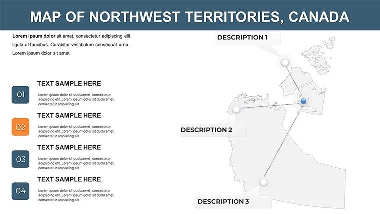
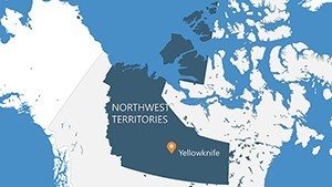
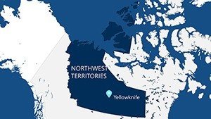
Conceived with insights from architects on ventures like the Sahtu settlement redesigns, this template emphasizes navigability in sparse data environments. Highlights include panoramic territory overviews, detailed community insets for Fort Smith, and infographic panels for auroral tourism potentials.
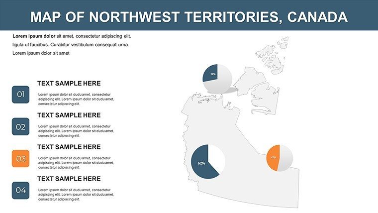
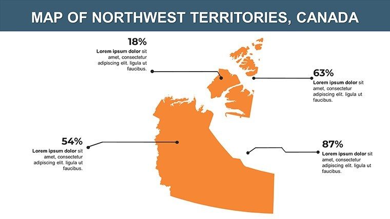
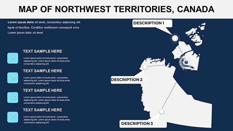
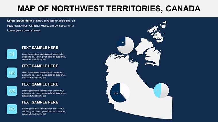
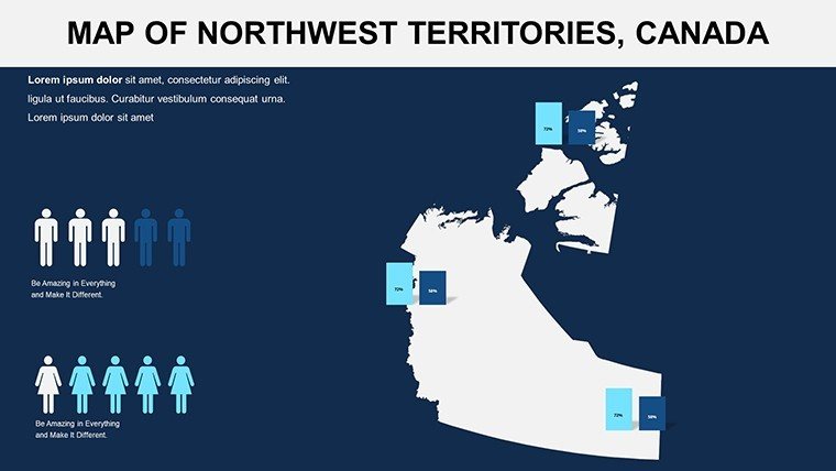
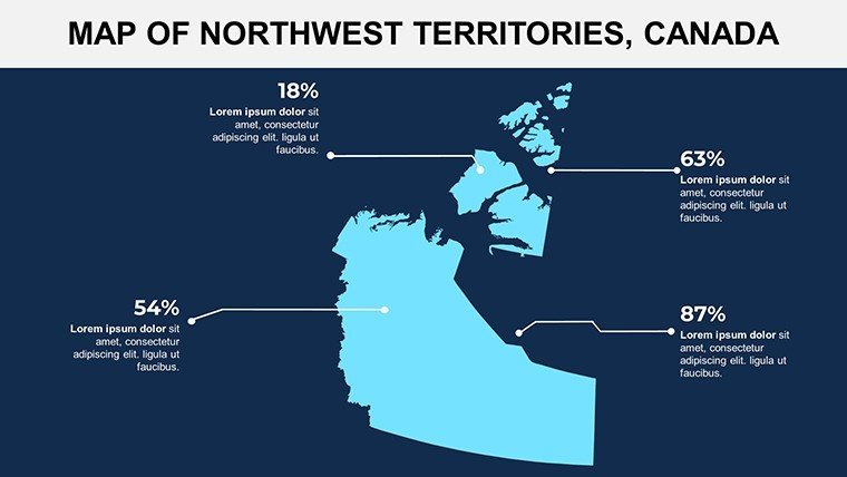
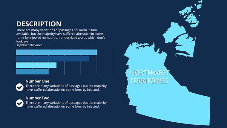
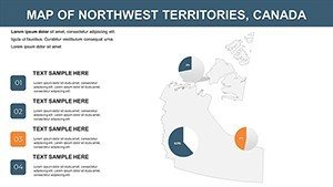
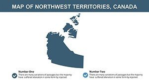
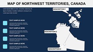
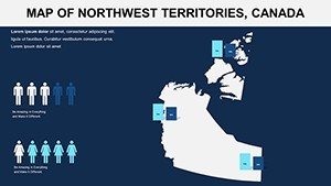
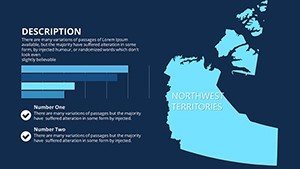
- Visually Stunning Maps: High-contrast vectors depict tundra expanses and lake chains, editable for annotating seismic lines in energy sector pitches.
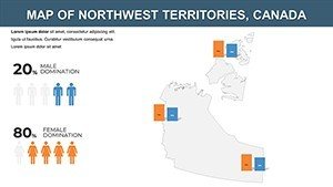
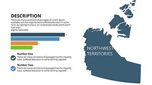
- Infographic Depth: Pre-loaded graphs for climate metrics or population scatters, merging seamlessly to argue for adaptive housing in subarctic zones.
- Flexible Layouts: User-friendly drags for repositioning elements, with font scalability for remote viewing on field devices.
- Optimization Hooks: Alt suggestions like "Northwest Territories lake map for eco-architectural planning" to amplify discoverability.
At 14 slides, it's concise yet comprehensive, with broad customization to insert photos of diamond mines or boreal forests, transforming generic decks into territorial treasures that resonate with policymakers.
Practical Use Cases for Northern Architecture
Resource Extraction and Infrastructure
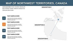
For pipeline routes across the Mackenzie Valley, slide 8's pathway mapper overlays environmental buffers, quantifying risks per territorial guidelines. Echoing the Norman Wells expansions, this has aided approvals by visualizing minimal-impact alignments.
- Sync with satellite data for real-time terrain updates.
- Shade vulnerability zones to highlight engineered solutions like elevated roads.
- Distribute as interactive files for stakeholder input loops.
Eco-Tourism and Community Developments
Propose aurora-viewing lodges near Nahanni by charting access trails on natural attraction slides, integrating biodiversity stats for eco-certifications. Similar to Pangnirtung's tourism booms, mapped appeals have drawn eco-investors seeking authentic northern experiences.
Superior to ad-hoc maps: Lacking templates often ignore scale, leading to misjudged feasibilities; this one's integrated tools ensure proportional accuracy, compatible with SketchUp exports for 3D-map hybrids.
Research and Educational Outreach
In academic forums, use economic infographics on slide 11 to dissect mining's role in indigenous economies, fostering discussions on equitable designs. Tip: Hyperlink to Dene Nation resources for enriched, respectful narratives.
Enhance workflow with theme presets for quick starts, and cross-link to pan-Canadian templates for comparative studies, building a versatile arsenal.
Insights to Enhance Your Deck
Employ glow effects for aurora simulations, captivating like National Geographic features, and audit for cultural sensitivities with community reviews. Footnote data origins to build trust, positioning your work as authoritative in polar architecture circles.
Illuminate your northern ambitions - download the Northwest Territories PowerPoint Maps template today and pioneer designs that endure the frontier.
Frequently Asked Questions
Are the visuals optimized for dark themes?
Yes, with adjustable contrasts to evoke northern nights, ensuring readability in low-light presentation settings common to territorial venues.
Can this template handle large-scale territory data?
Definitely - vectors support expansive zooms without lag, perfect for detailing remote areas like the Arctic Ocean coast.
Is it suitable for collaborative editing?
PowerPoint's co-authoring features work flawlessly, ideal for multi-stakeholder teams including indigenous consultants.
How does it aid in climate-resilient designs?
By enabling permafrost and weather overlays, it supports AIA-like resilience modeling, as in real territorial adaptation projects.
What about compatibility with mobile apps?
Fully responsive in PowerPoint mobile, allowing on-site tweaks during field assessments.
License details for international use?
Royalties-free for global applications, including cross-border collaborations with Alaskan firms.