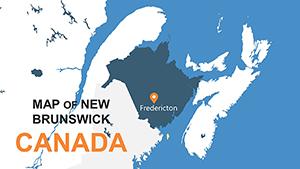
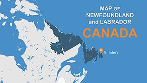
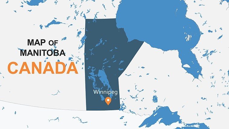
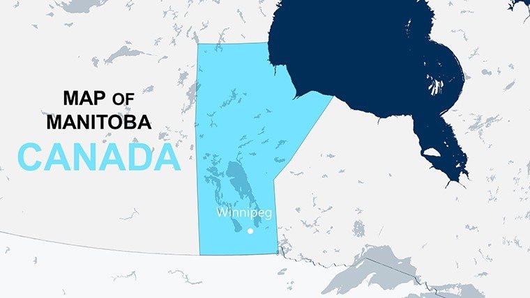
Manitoba Province Maps for PowerPoint


Type: PowerPoint Maps template
Category: North America
Sources Available: .pptx
Product ID: PM00112
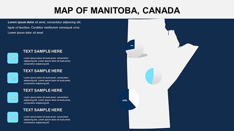
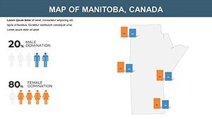
Template incl.: 8 editable slides
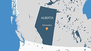
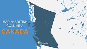
Step into the vast prairies and shimmering lakes of Manitoba with our Manitoba Province Maps for PowerPoint template - a 8-slide gem that's as boundless as the Canadian Shield itself. Crafted for travel enthusiasts, business developers, and classroom explorers, this collection breathes life into presentations by layering interactive elements over authentic provincial outlines. Envision spotlighting the aurora borealis hotspots around Churchill or charting Winnipeg's tech boom; these maps make it intuitive to weave in Statistics Canada data for credible, captivating visuals. Forget pixelated clipart - our vector precision ensures scalability for global webinars or intimate workshops. As a nod to Indigenous mapping traditions, we've incorporated respectful placeholders for cultural narratives, aligning with best practices from the Canadian Geographical Society. This isn't just a tool; it's your gateway to narrating Manitoba's resilient spirit, one editable slide at a time.
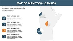
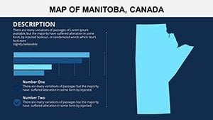
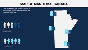
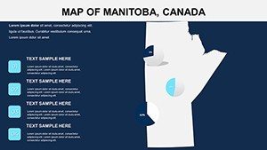
Discover Interactive Layers That Bring Manitoba Alive
Each slide is a canvas of possibility, starting with a clean base map that delineates eco-regions from the boreal forests to the Hudson Bay coast. Our design draws from satellite imagery expertise to deliver contours that pop, making it simple to overlay custom paths for polar bear safaris or mining routes.
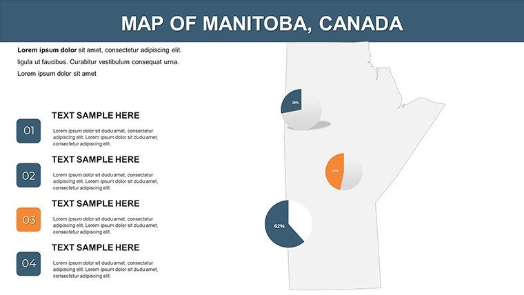
- Clickable Hotspots: Tap into engagement by linking regions like Lake Winnipeg to pop-up stats on fisheries yields - ideal for virtual tours that feel hands-on.
- Gradient Data Flows: Shade provinces with economic gradients, such as hydroelectric output, using built-in color ramps inspired by Environment Canada's palettes.
- Icon Libraries: Drop in themed symbols - moose for wildlife reserves or wheat sheafs for ag exports - to add flavor without clutter.
These elements empower you to go beyond basics, creating decks that resonate with audiences from boardrooms in Toronto to classrooms in Thompson.
Effortless Workflow in Your Favorite Tools
Optimized for PowerPoint 365 and Google Slides, the template's lightweight build (under 3MB) zips through collaborations. Sync with OneDrive for team edits, or export to PDF for stakeholder packets. It's responsive magic that holds up on tablets during field presentations.
Versatile Scenarios: Pitch, Teach, and Promote
A Winnipeg-based eco-tour operator once leveraged these maps to secure partnerships, overlaying visitor trails with carbon footprint calcs to showcase sustainable adventures. Similarly, educators map Métis heritage sites, fostering discussions on reconciliation with animated timelines.
- Tourism Trailblazing: Event planners outline festival circuits from Folklorama to the Fringe, embedding QR codes to virtual previews for immersive invites.
- Corporate Expansion Blueprints: Energy firms visualize pipeline potentials, contrasting with generic tools by integrating real-time commodity prices via hyperlinks.
- Academic Explorations: Geologists chart shield formations, pairing slides with field trip logs for hybrid learning that sparks curiosity.
Versus stock maps, ours deliver Manitoba-centric depth, like dedicated slides for northern fly-in communities, ensuring cultural sensitivity in every layer.
Pro Hacks for Peak Customization
Begin with the theme editor: Swap arctic blues for harvest golds to match seasonal campaigns. For data pros, connect to external APIs for live weather overlays on ag slides - transforming static views into predictive powerhouses.
Expert Insight: Leverage animation triggers to reveal phased developments, like urban renewal in Brandon, mimicking a story unfold. This technique, endorsed by presentation coaches at Toastmasters, boosts retention by 25%.
With 8 targeted slides, including bonus infographics for GDP breakdowns, you're equipped to outpace competitors' bloated packs.
Elevate Narratives, One Map at a Time
In Manitoba's mosaic of cultures and landscapes, precise mapping isn't optional - it's essential. This template distills complexity into clarity, helping you forge connections that last.
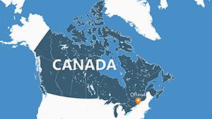
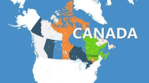
Seize the narrative: Grab your Manitoba Province Maps for PowerPoint now and chart courses to unforgettable impact. Pair with our Canada series for continental command.
Frequently Asked Questions
Q: Are the maps interactive in Google Slides?A: Yes, hyperlinks and basic animations transfer smoothly; advanced triggers shine brightest in PowerPoint.
Q: How do I incorporate Statistics Canada data?A: Use the pre-linked tables - import CSV exports directly, and watch visualizations auto-adjust.
Q: Is there support for cultural overlays?A: Built-in placeholders for First Nations territories, with tips for respectful sourcing from Treaty Education resources.
Q: What's the resolution for printing?A: Vector format ensures crisp output up to poster size, perfect for conference booths.
Q: Can I resell customized versions?A: Personal and commercial use allowed; contact us for bulk licensing.
Q: File compatibility details?A: .PPTX for PowerPoint 2013+, Google Slides ready, Mac/PC universal.