Canada Provinces PowerPoint Maps: 23 Editable Designs


Type: PowerPoint Maps template
Category: North America
Sources Available: .pptx
Product ID: PM00096
Template incl.: 23 editable slides
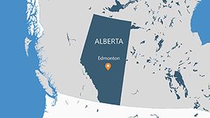
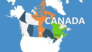
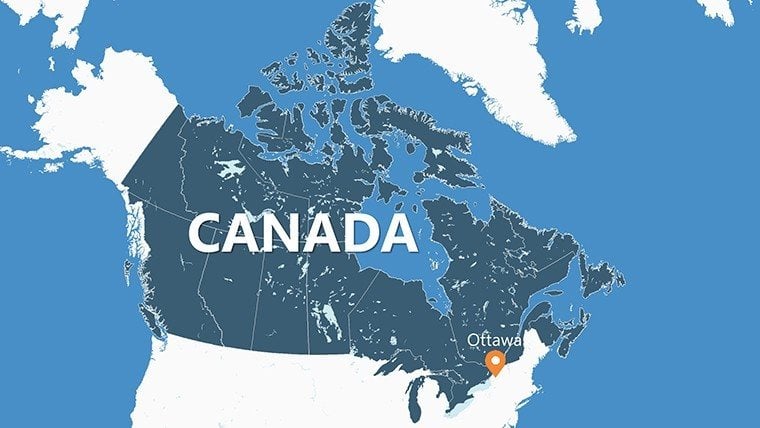
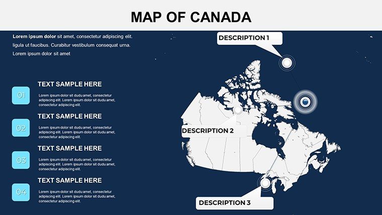
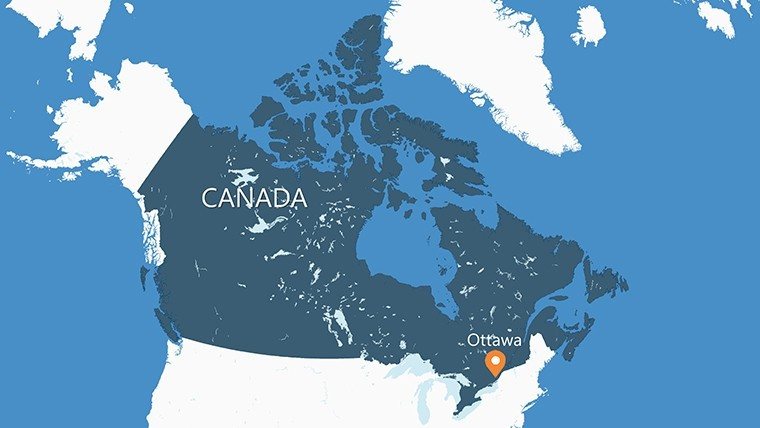
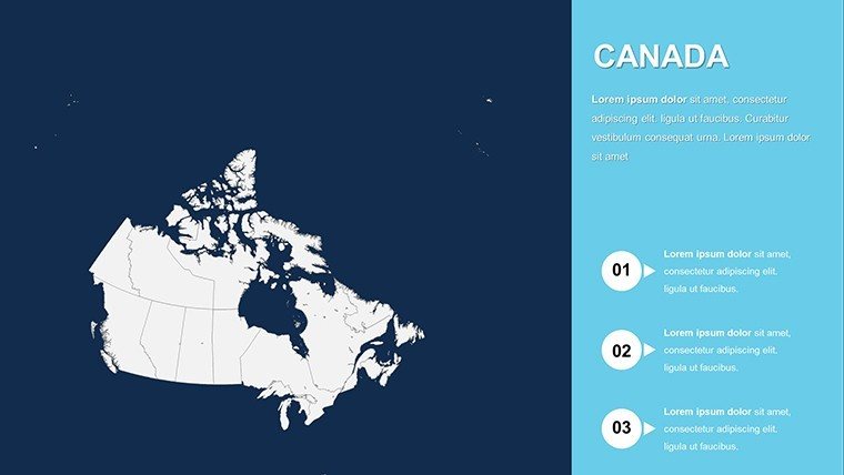
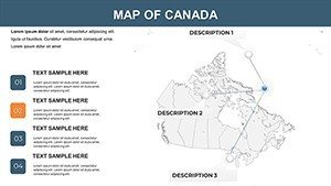
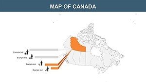
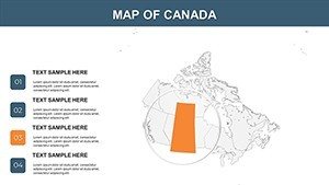
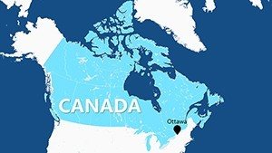
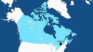
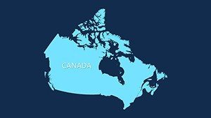
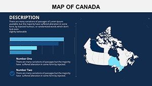
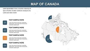
Embark on a visual exploration of Canada's vast expanse with our specialized provinces PowerPoint maps template. Boasting 23 editable slides, this collection meticulously details all 10 provinces and 3 territories, from the rugged coasts of Newfoundland to the prairies of Saskatchewan. Tailored for users who demand precision in their visuals, it's perfect for business strategists mapping expansion into Alberta's oil fields, teachers illustrating Indigenous histories in Nunavut, or researchers charting climate patterns across British Columbia. Compatible with various PowerPoint versions, these maps offer effortless customization of styles, colors, and content, enabling you to weave in data for infographics that tell powerful stories. Elevate your slides from mundane to mesmerizing, fostering deeper understanding and engagement in every presentation.
The Power of Precise Provincial Mapping
Our template shines in its ability to handle Canada's diverse geography with finesse. Slides include thematic maps for economic zones, like Quebec's manufacturing heartland, and boundary-focused ones for political discussions in Ontario. Built with scalable vectors, they ensure no pixelation during zooms, ideal for virtual meetings or large venues. This level of detail supports standards from bodies like Natural Resources Canada, providing a trustworthy base for your analyses.
Essential Features for Dynamic Presentations
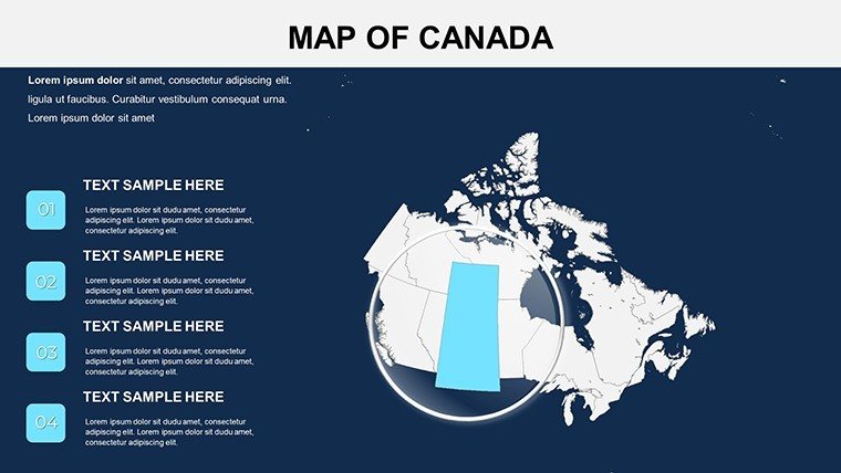
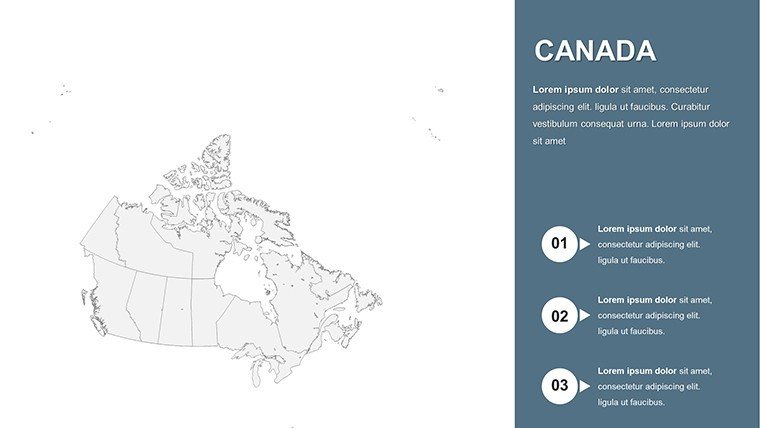
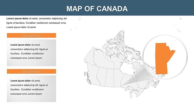
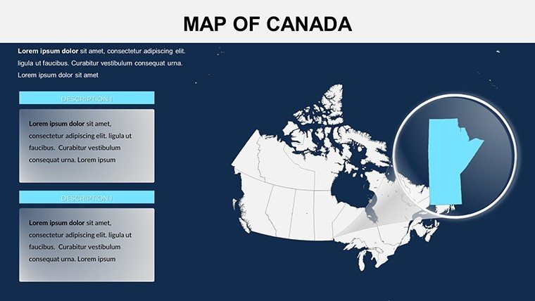
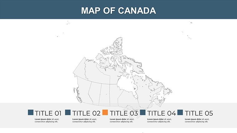
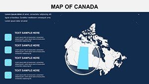
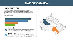
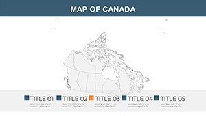
- Complete Territorial Inclusion: Maps encompassing Yukon, Northwest Territories, and all provinces with accurate borders.
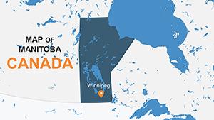
- Style Adaptability: Modify aesthetics to suit themes, such as green hues for environmental topics in Manitoba.
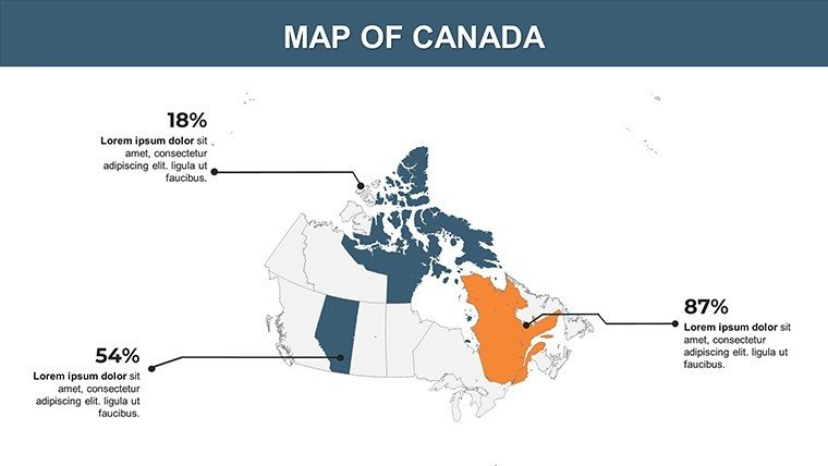
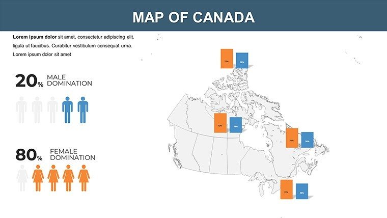
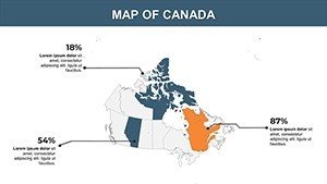
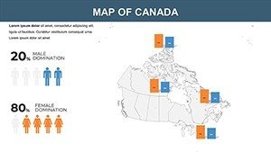
- Infographic Readiness: Prepped for stats integration, like GDP figures for Nova Scotia.
- Beginner-Friendly Tools: Intuitive edits via PowerPoint interfaces, no coding required.
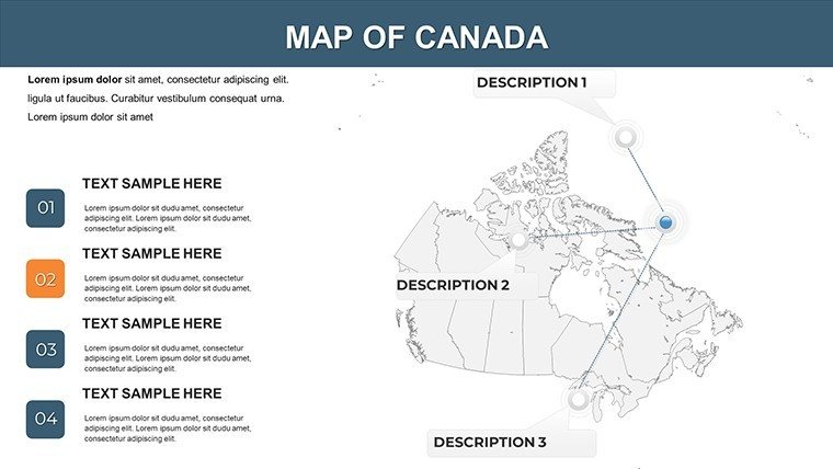
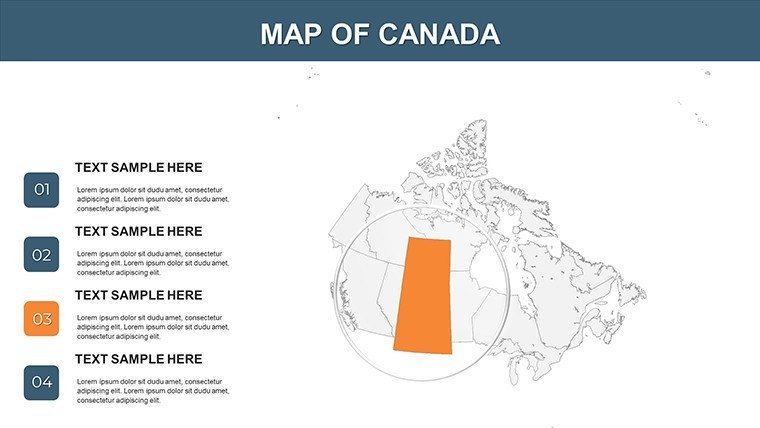
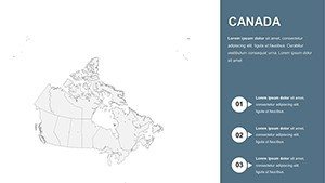
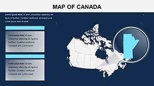
- Diverse Views: From national overviews to province-specific zooms, like Prince Edward Island's agricultural layouts.
Inspired by cartographic experts, these features facilitate seamless storytelling, much like in acclaimed National Geographic visuals.
Applications That Span Sectors
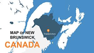
Business professionals can use these maps for competitive analyses, such as retail footprints in New Brunswick versus competitors. A case from a Toronto firm highlights how such tools streamlined merger discussions by visualizing market overlaps. Educators find value in interactive lessons on federalism, animating slides to show provincial evolutions over time. Students, too, can enhance projects on biodiversity, mapping species distributions in the boreal forests of the Northwest Territories.
Researchers tackling sustainability might overlay carbon emission data on Saskatchewan prairies, drawing from Environment Canada reports for credibility. This template surpasses basic shapes by offering layered elements that support complex narratives, saving time in preparation and allowing focus on interpretation. In conferences, clear maps like these have been key to securing grants for Arctic studies in Nunavut.
How to Harness the Template Effectively
- Select a slide matching your scope, e.g., a full Canada view for broad contexts.
- Adjust colors and fonts to align with your brand, perhaps cool blues for Atlantic provinces.
- Embed data through charts, updating live from sources like Statistics Canada.
- Incorporate multimedia, like videos of Yukon landscapes via hyperlinks.
- Apply animations to unveil territories gradually, enhancing audience retention.
- Finalize by exporting to formats suitable for your delivery method.
This method promotes efficient workflows, akin to professional GIS integrations.
Advantages Over Generic Map Tools
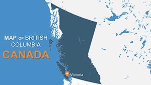
Unlike free downloads with rigid designs, our template provides flexibility and quality that endure multiple uses. Users note enhanced clarity in presentations, as in environmental impact assessments for British Columbia's coastal regions. For corporate training, these slides facilitate better comprehension of regional regulations, boosting compliance efforts.
In education, a Vancouver school reported higher test scores after adopting visual aids for geography units, underscoring the template's educational impact.
Unlock Canadian Insights with Confidence
Transform how you present Canada's mosaic - download our provinces maps template and craft presentations that inform, inspire, and impress. Your next big idea deserves this level of detail.
Frequently Asked Questions
- How customizable are the province styles?
- Fully adaptable, from colors to layouts, using PowerPoint's native editing capabilities.
- Does it include territories like Yukon?
- Yes, all three territories are featured alongside the provinces for complete coverage.
- Can I add my own data to the maps?
- Certainly, integrate statistics or charts directly for personalized infographics.
- Is the template suitable for beginners?
- Absolutely, with straightforward tools that require no prior expertise.
- What if I need to update the maps later?
- Edits are unlimited, allowing revisions as new data emerges.