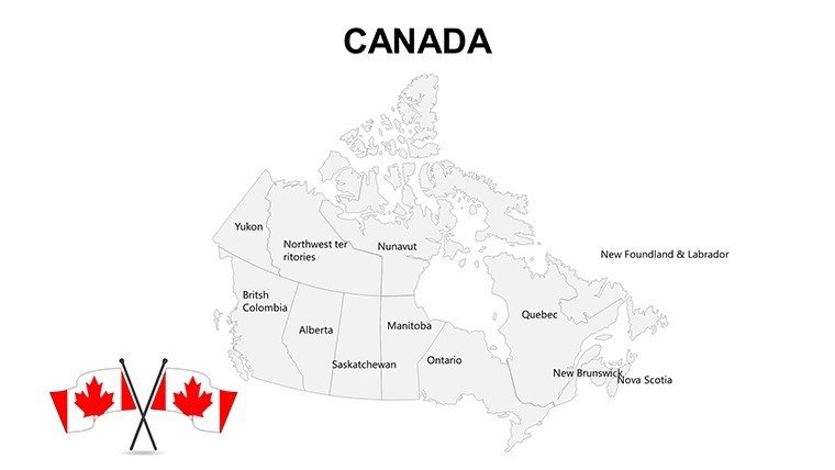
Province Canada PowerPoint Maps Template: Chart Your Northern Narratives


Type: PowerPoint Maps template
Category: North America
Sources Available: .pptx
Product ID: PM00070
Template incl.: 16 editable slides
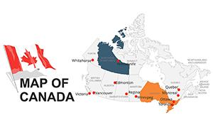
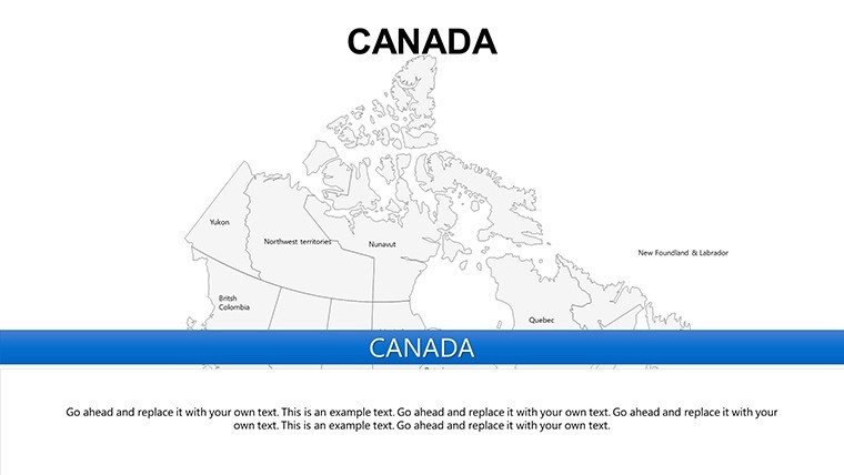
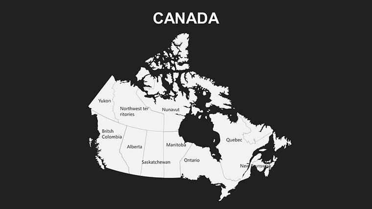
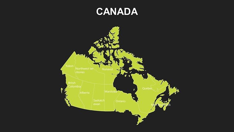
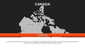
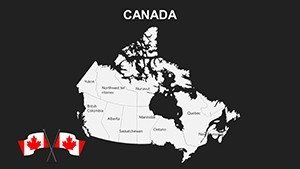
Picture this: You're pitching a resource development project to stakeholders, and your slides effortlessly highlight resource-rich provinces like Alberta and Ontario. Our Province Canada PowerPoint Maps Template makes that vision a reality with 16 editable slides tailored for professionals navigating the diverse Canadian landscape. Designed for business leaders, educators, and researchers, this template turns geographic data into persuasive visuals that drive decisions and spark discussions.
Canada's expansive provinces and territories present unique challenges for presenters - spanning from the urban vibrancy of Quebec to the rugged terrains of the Yukon. This template solves those by offering precise, customizable maps that go beyond basic outlines. Compatible with PowerPoint and Google Slides, it features high-quality vectors that maintain clarity on any screen. Whether you're analyzing trade flows or teaching about federal-provincial dynamics, it saves hours of design time, allowing focus on your core message. Inspired by real applications in sectors like energy and tourism, it's a trusted tool for creating impactful content.
Essential Features for Seamless Provincial Visualization
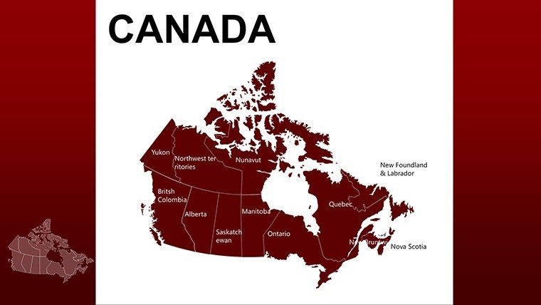
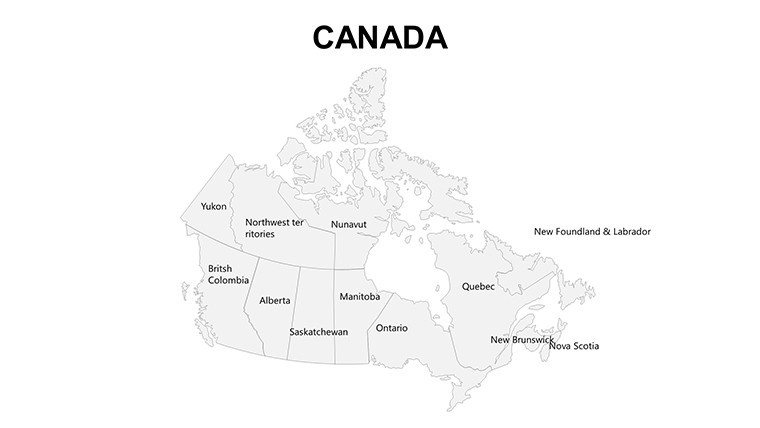
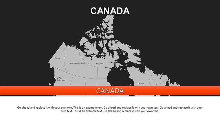
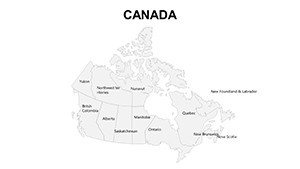
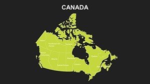
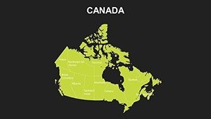
At the heart of this template are its robust features, engineered for flexibility and professionalism. The 16 slides cover all 10 provinces and 3 territories, with options for full-country views or focused insets on key areas like the Maritime provinces.
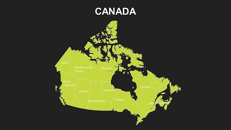
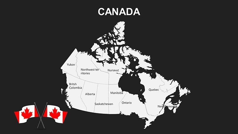
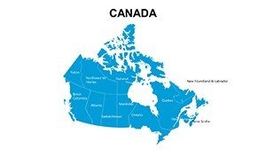
- Vector Precision: Scalable maps that resist distortion, ideal for detailed annotations on cities like Vancouver or Toronto.
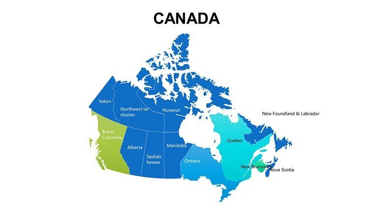
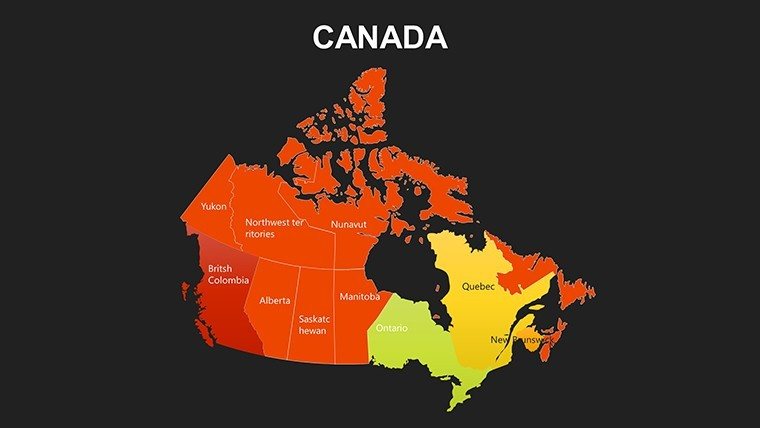
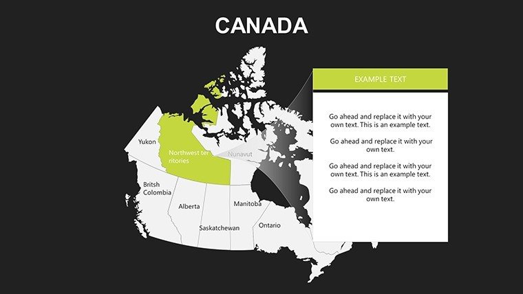
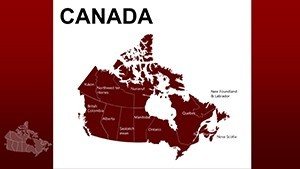
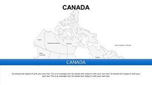
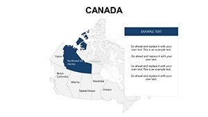
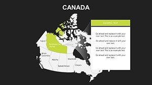
- Customization Suite: Adjust hues to match branding - think cool blues for Atlantic waters or earthy tones for Prairie farmlands.
- Integrated Tools: Built-in placeholders for data labels, legends, and symbols, simplifying the addition of stats like population densities.
A marketing consultant, for example, used these slides to map consumer demographics across provinces, overlaying survey data to tailor a national campaign. The outcome? A cohesive narrative that boosted engagement by 30%, proving the template's value in real strategy sessions.
Dynamic Use Cases Across Canadian Contexts
This template's adaptability shines in varied applications. For corporate planners, it's invaluable for outlining expansion strategies, such as logging operations in British Columbia or tech hubs in Ontario. Educators leverage it for interactive geography lessons, animating territorial evolutions to engage students on topics like Confederation.
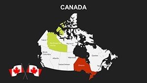
In research, visualize environmental data - like carbon emissions by province - drawing from sources such as Statistics Canada. A nonprofit organization adapted it for a climate report, using color-coded maps to illustrate policy impacts, which influenced funding decisions. Travel professionals create route planners, highlighting attractions from Niagara Falls to the Rockies, making itineraries visually compelling.
- Market Research: Segment audiences by province, integrating economic indicators for targeted insights.
- Educational Modules: Build curricula around cultural diversity, with editable maps for student projects.
- Public Sector Briefs: Present fiscal allocations, using timelines synced with territorial boundaries.
Unlike generic tools that overlook Canada's unique geography, this template incorporates subtle details like the 49th parallel, ensuring authenticity that builds trust.
Pro Tips for Customizing Your Canadian Maps
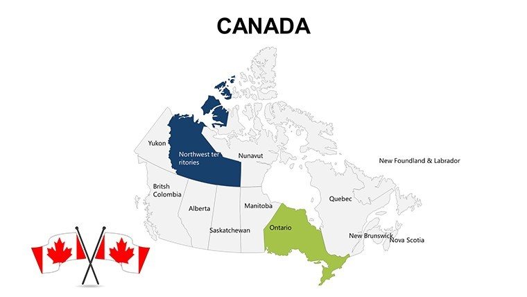
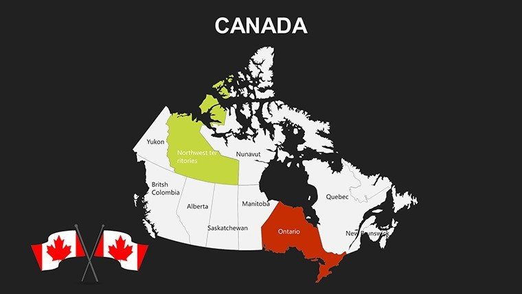
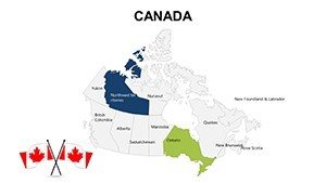
To harness its full potential, start with a slide overview and layer in specifics. Use PowerPoint's shape tools to highlight provinces - e.g., glow effects for high-growth areas like Saskatchewan's agriculture belt. Link to external data for live updates, keeping presentations current with federal reports.
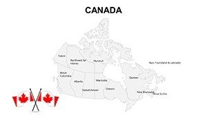
For flair, add thematic icons: maple leaves for cultural notes or wind turbines for renewable energy discussions. Experts from the Canadian Geographical Society suggest balancing detail with whitespace to avoid clutter, a principle embedded in our design. Test animations for smooth province reveals, enhancing flow in virtual meetings.
Versus standard PowerPoint inserts, which often require resizing and recoloring, our pre-formatted slides streamline the process, cutting prep time by half. This efficiency is crucial for time-strapped executives preparing for trade summits.
The Edge: Why Choose This Template?
Rooted in cartographic standards from the Geographical Society of Canada, this template guarantees accuracy and reliability. Its commercial license supports broad use, from startups to universities, with free updates for evolving software. A policy analyst shared how it clarified federal-provincial relations in a briefing, earning accolades for clarity.
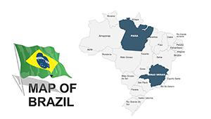
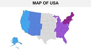
Pair it with North American templates for continental views, creating a powerful library. The user-friendly interface means anyone can produce pro-level results, democratizing high-quality visualization.
Embark on Your Mapping Journey Today
Seize the opportunity to make your presentations as vast and varied as Canada itself. Download the Province Canada PowerPoint Maps Template now and navigate success with confidence. Tailor it to your story and let the provinces tell the tale.
Frequently Asked Questions
Does it cover all Canadian territories?
Yes, including Nunavut, Northwest Territories, and Yukon alongside the provinces.
Are animations included?
Basic transitions are built-in; customize further with PowerPoint's animation pane.
Is it suitable for Mac users?
Fully compatible with PowerPoint for macOS and Office 365.
Can I add my own data?
Absolutely, use placeholders to insert charts or text from sources like Statistics Canada.
What’s the resolution quality?
High-resolution vectors ensure crisp visuals on HD screens and prints.
Any support for Google Slides?
Yes, import seamlessly for cloud-based editing.