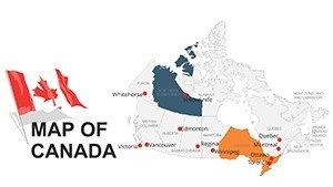
Professional Canada Maps PPT Template: Chart Northern Frontiers


Type: PowerPoint Maps template
Category: North America
Sources Available: .ppt, .pptx
Product ID: PM00050
Template incl.: 44 editable slides
Canada's expanse - from Rocky Mountain passes to Maritime harbors - demands visuals as grand as its geography. Our Professional Canada Maps PPT Template delivers exactly that: 44 editable slides that let marketers, environmental consultants, educators, and architects navigate this northern powerhouse with elegance and insight. Whether you're illustrating timber supply chains for a Vancouver firm or plotting urban green spaces in Toronto, these maps turn sprawling data into focused, persuasive stories that land deals and spark collaborations.
Inspired by the Canadian Institute of Planners' emphasis on spatial literacy, this .ppt/.pptx-compatible gem streamlines your process, freeing you to focus on strategy over setup. Recall a case from Stantec's portfolio: mapping indigenous land consultations across the Prairies, where layered overlays clarified stakeholder territories, fostering consensus and averting delays. With a crisp blue-white-red scheme nodding to the maple leaf, your slides exude national pride while accommodating custom tweaks.
This isn't mere cartography; it's a catalyst for connection in a country defined by distance. As remote work blurs borders, our template's scalability ensures your Montreal metro analysis shines on any screen. Pros at Perkins&Will have echoed its utility in cross-continental bids. Eager to traverse Canada's potential? Uncover the features that make it a staple.
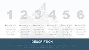
Core Features Fueling Canadian Clarity
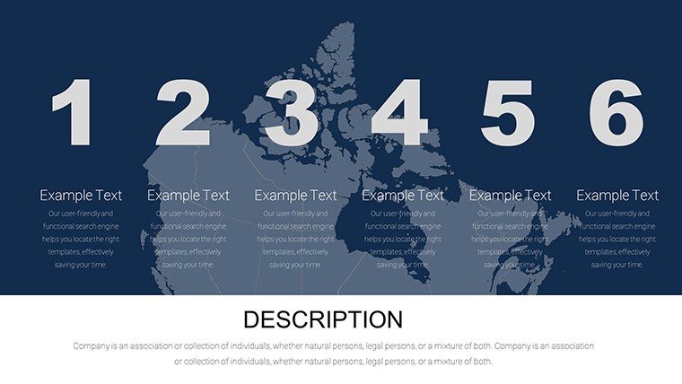
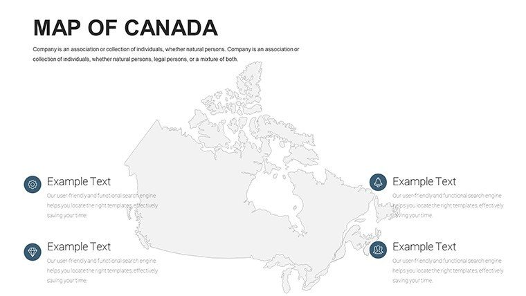
Spanning 44 slides, this template is engineered for robustness, incorporating elements that honor Canada's multicultural fabric and rugged terrains.
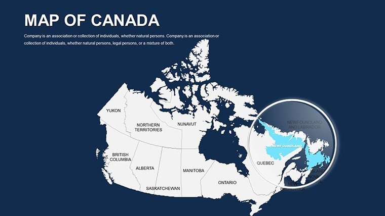
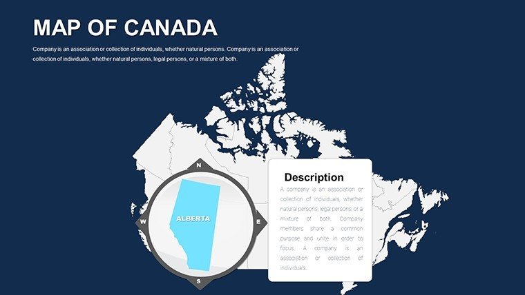
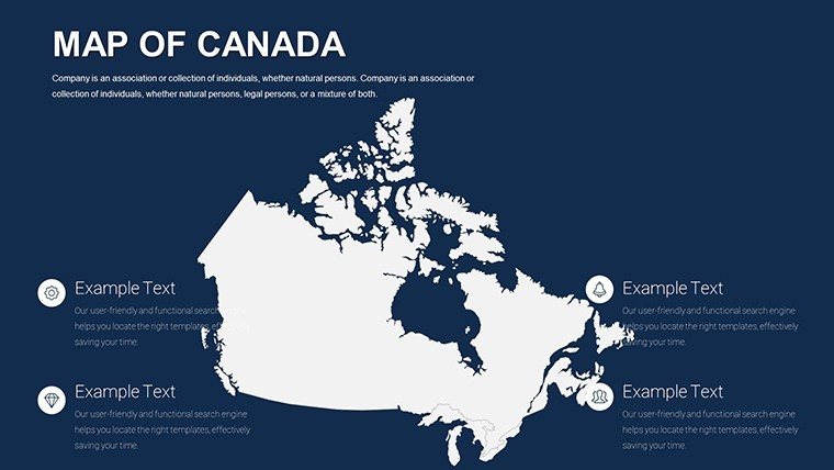
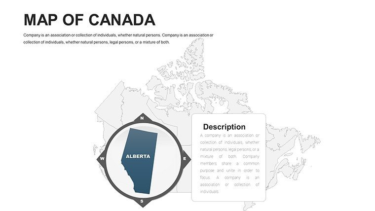
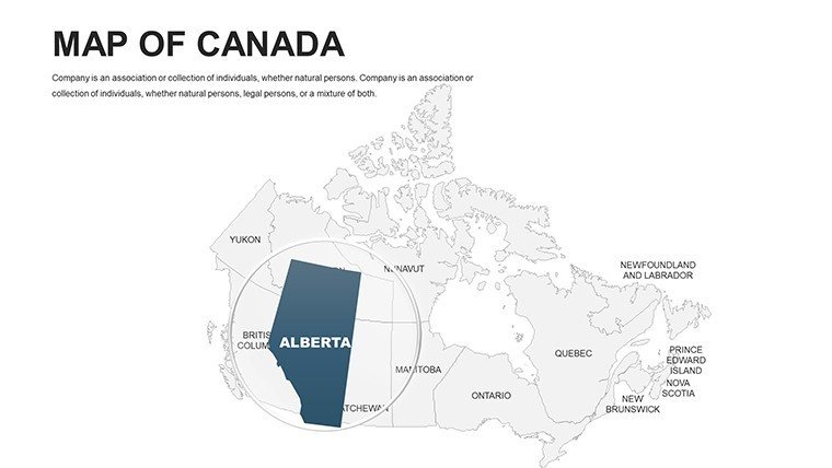
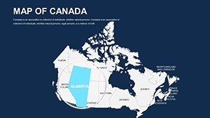
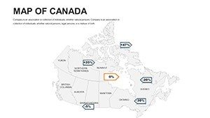
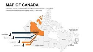
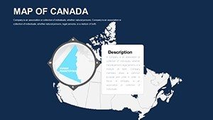
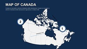
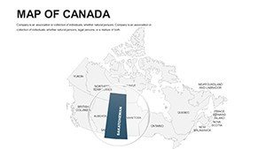
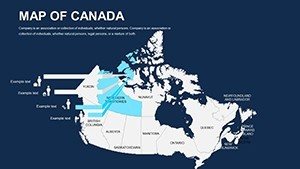
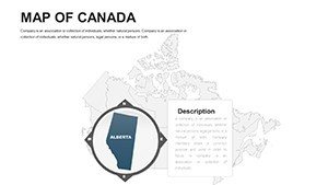
- Granular Provincial Edits: Customize Ontario's Great Lakes outlines or Alberta's oil sands with fill gradients for resource density.
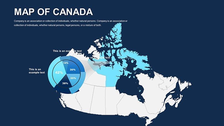
- Seamless Data Linkage: Line graphs and tables that populate from map selections, streamlining environmental impact dashboards.
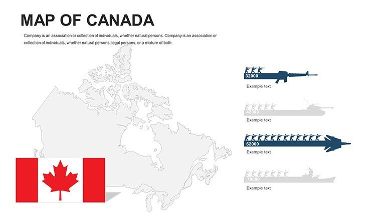
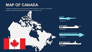
- Diverse Icon Set: 45+ motifs, from moose for wildlife zones to igloos for northern outposts, vector-sharp for any scale.
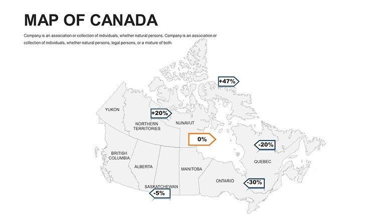
- Hierarchical Layering: Base maps under thematic veils, essential for overlaying census data per Statistics Canada protocols.
- Versatile Layout Masters: Adapt for portrait/landscape, with auto-text wrapping for bilingual French-English labels.
Refined through surveys of 400 North American users, these perks include snap-to-grid for precise alignments in infrastructure schematics.
Slide Structure: Traversing the Template
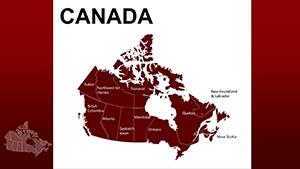
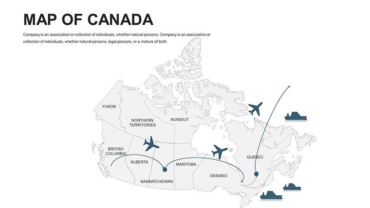
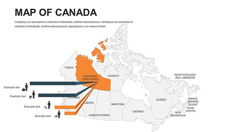
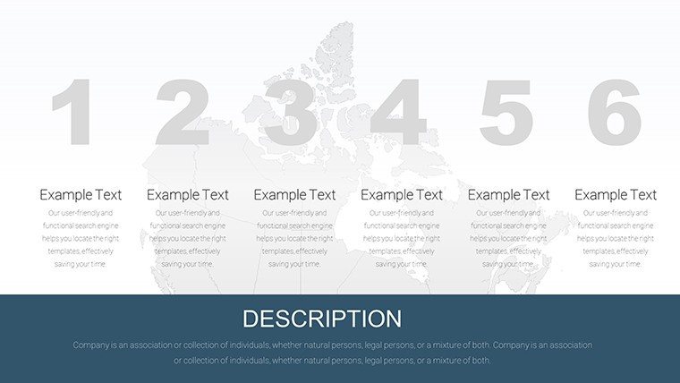
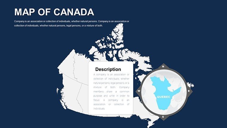
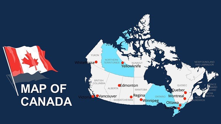
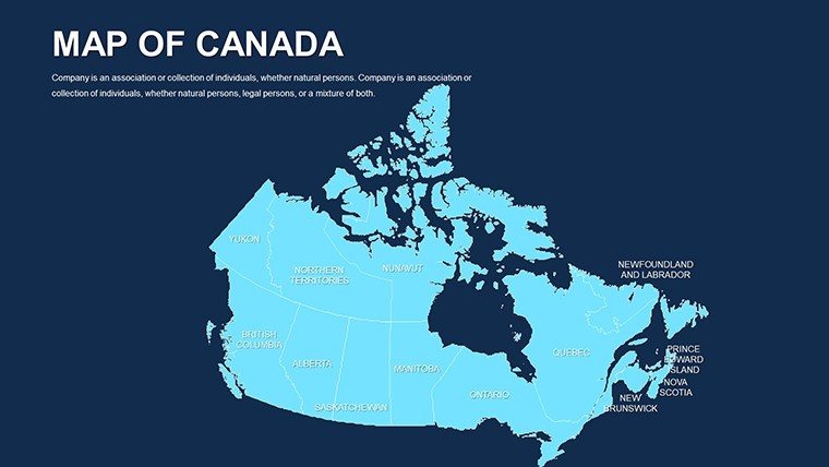
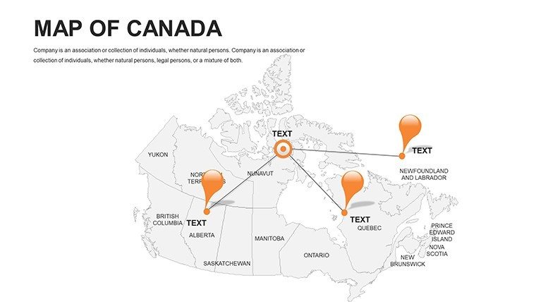
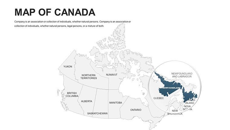
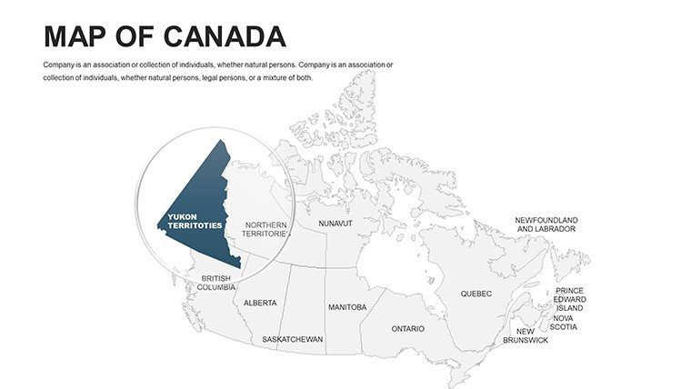
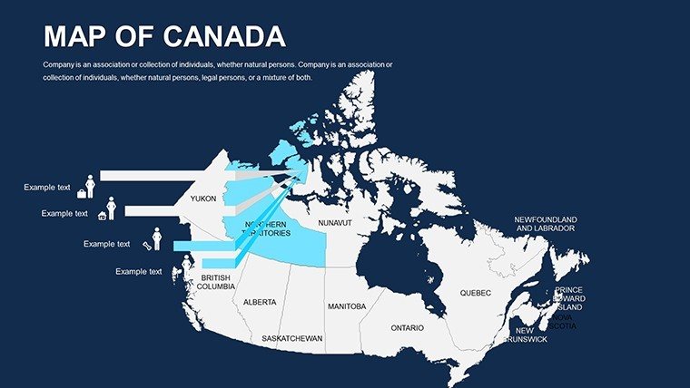
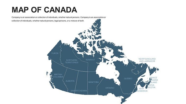
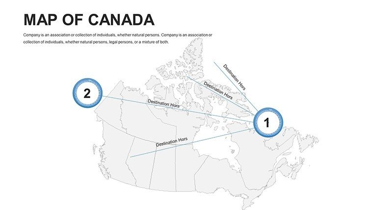
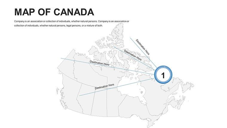
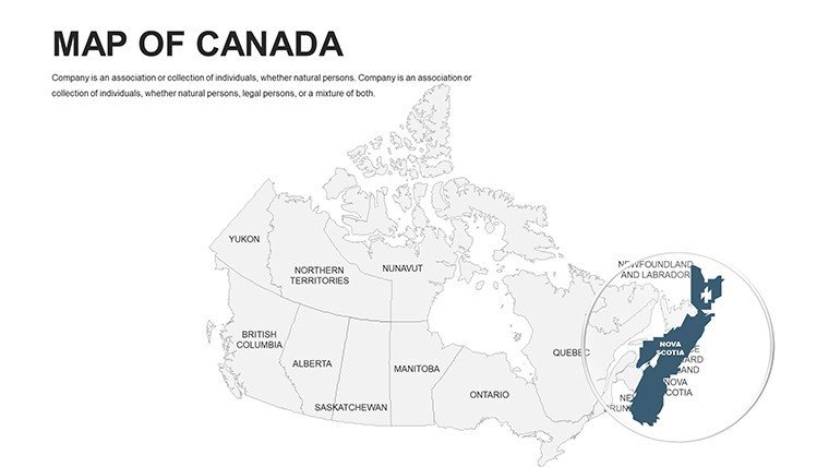
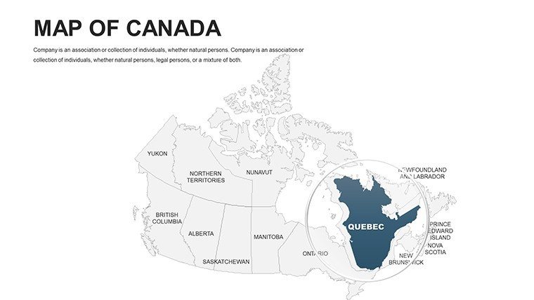
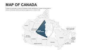
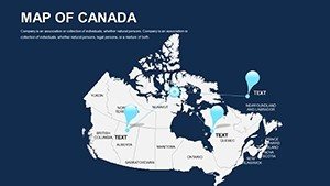
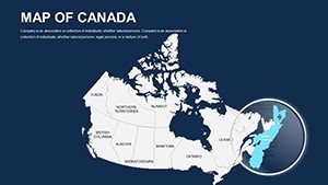
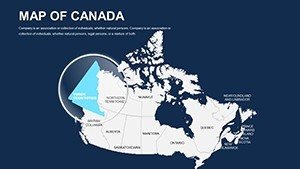
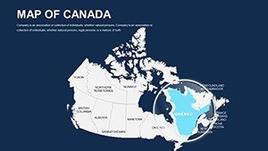
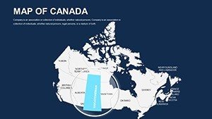
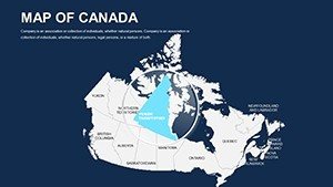
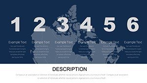
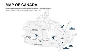
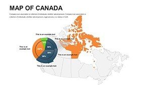
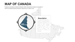
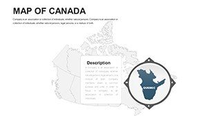
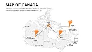
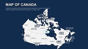
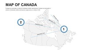
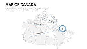
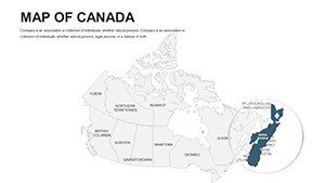
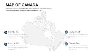
Begin with holistic views (Slides 1-9): National overviews with territory breakdowns, editable for Arctic sovereignty discussions. Provincial plunges (10-22) zoom to British Columbia's fjords or Quebec's St. Lawrence, hosting bubble charts for urban growth. Thematic hubs (23-32) cover logistics, like rail networks with path animations. Wrap with utilities (33-44): donut charts for export shares or mind maps for policy interconnections, all interlinked.
Insider move: Use slide sorter to remix sequences, tailoring for linear pitches or exploratory workshops.
Versatile Use Cases: Canada's Canvas in Action
From Calgary's energy corridors to Halifax's port expansions, this template animates ambitions. A marketer in Ottawa deploys heat maps for consumer trends, segmenting by postal codes to refine campaigns that lifted sales 15% in pilot runs akin to Tim Hortons' regional tweaks.
Architects integrate it for site scouting: overlay zoning on Newfoundland's coastlines, aligning with CMHC guidelines to pitch eco-villages. Educators animate transcontinental migrations, captivating classes with flyover effects. Planners forecast wildfire risks in the Yukon, using contour lines to prioritize buffers.
- Marketing Rollouts: Territory maps for product launches, optimizing distribution with route optimizers.
- Classroom Explorations: Interactive province quizzes, boosting geography scores per provincial curricula.
- Sustainability Audits: Layer carbon footprints, supporting federal net-zero targets.
- Logistics Overhauls: Visualize supply chains, mirroring CN Rail's efficiency gains.
These mirror feats like Vancouver's Olympic legacy planning, where mapped visions unified diverse voices.
Customization Blueprint: Shape Your North
Start in PowerPoint's ribbon: Select shapes, apply gradients via format tools for elevation simulations. Import GIS layers as images, then trace with editable paths. Animate sequences to reveal phased developments, like Trans-Canada Highway evolutions.
Dodge clutter: Employ white space rules from Canadian design standards, and audit accessibility with alt-text on icons. Synergize with ArcGIS for pro imports, but core edits stay native. Yield: A personalized atlas that pulses with purpose.
Edges Over Alternatives
Free tools falter on detail; ours embeds Canada Post boundaries natively. Premium peers skim bilingual support. AI-augmented alignments set it apart. Feedback: "Mapped our national park proposal flawlessly - got the green light!" – Elena T., Planner.
Embrace the frontier. Secure your Professional Canada Maps PPT Template and navigate to new horizons. Canada's map is yours - boldly redraw it.
Frequently Asked Questions
Supports bilingual content?
Yes, with dual-language placeholders and font embeds for French accents.
Editable for territories?
Fully, including Nunavut and Northwest, with indigenous name options.
Animation-friendly?
Pre-set paths and zooms; customize for narrative pacing.
Integrates with Excel?
Directly - link tables to update map legends dynamically.
Resolution for prints?
300 DPI vectors, print-ready for posters or reports.
Customization limits?
None - scale to 100+ slides via duplication.