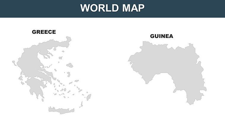
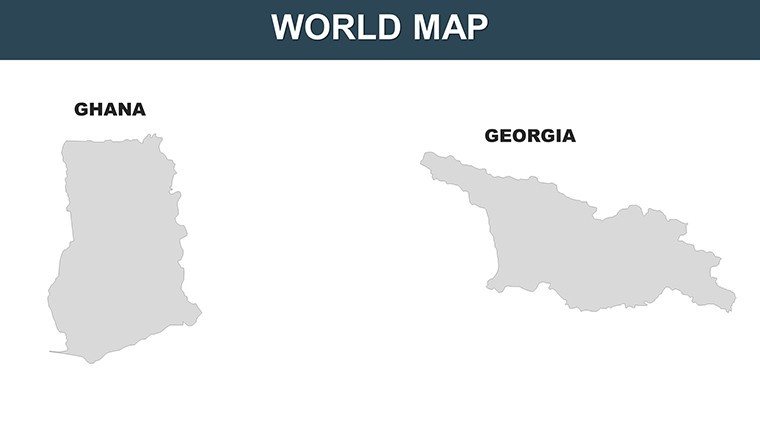
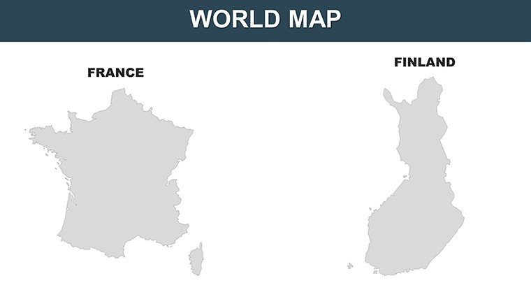
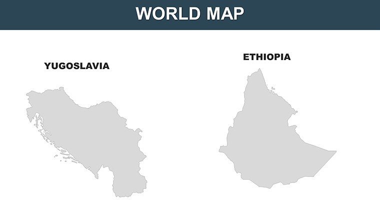
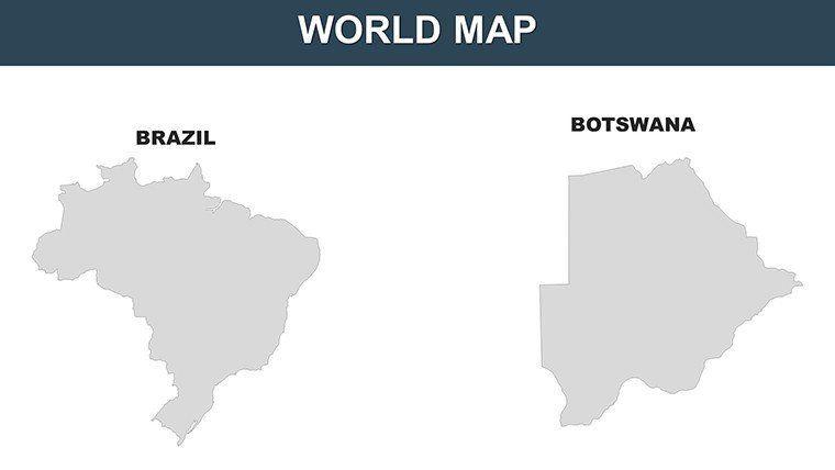
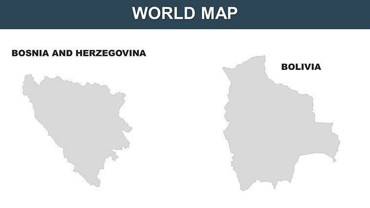
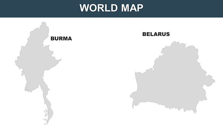
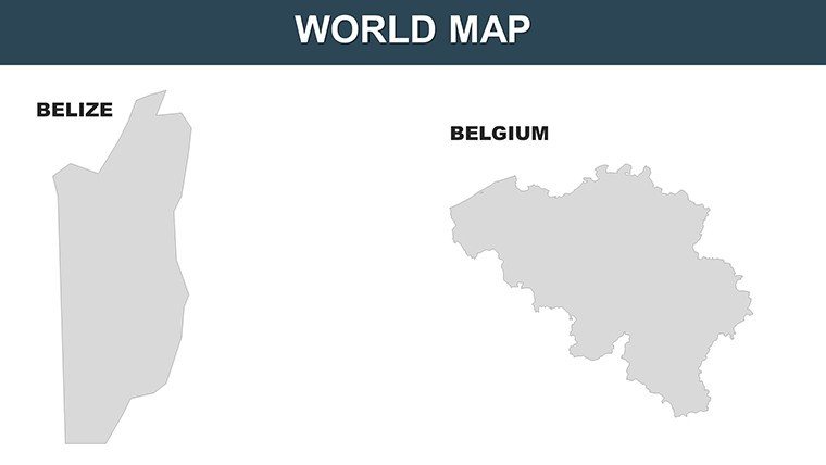
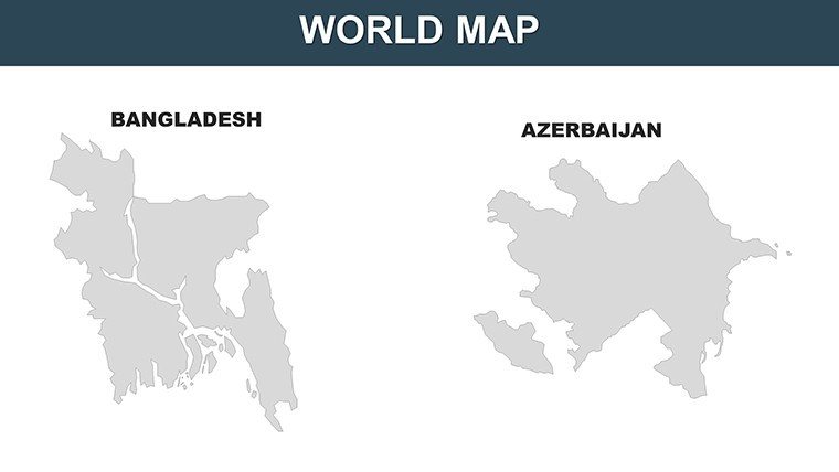
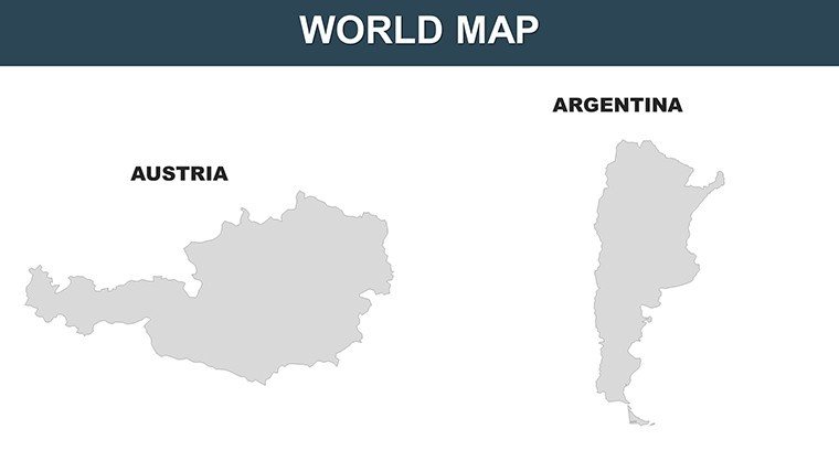
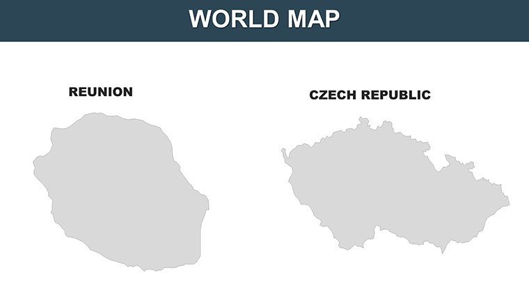
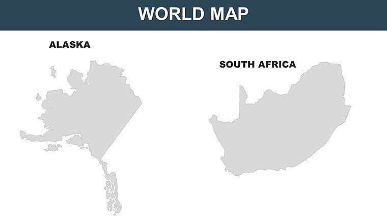
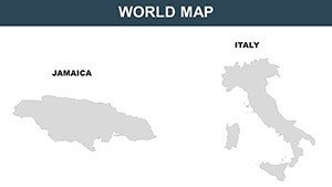
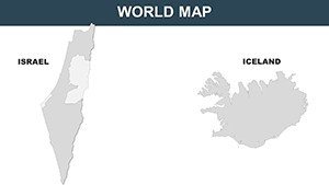
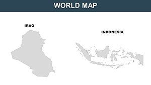
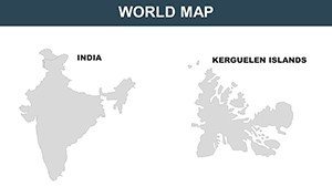
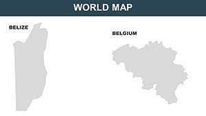
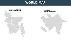
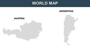
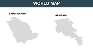
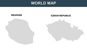
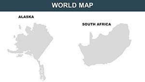
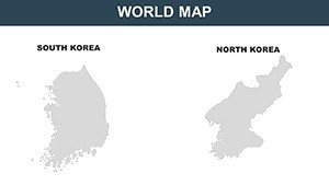
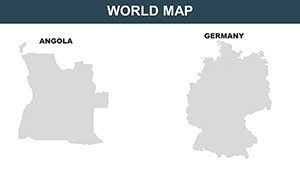
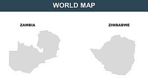
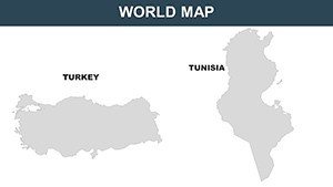
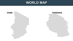
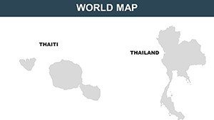
World Countries PowerPoint Maps: Chart the Globe with 65 Editable Masterpieces


Type: PowerPoint Maps template
Category: World
Sources Available: .pptx
Product ID: PM00061
Template incl.: 65 editable slides
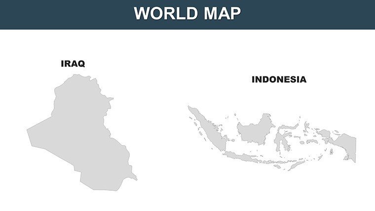
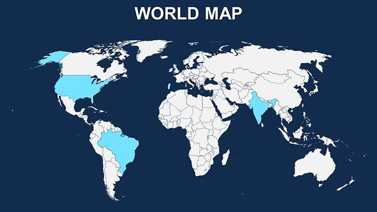
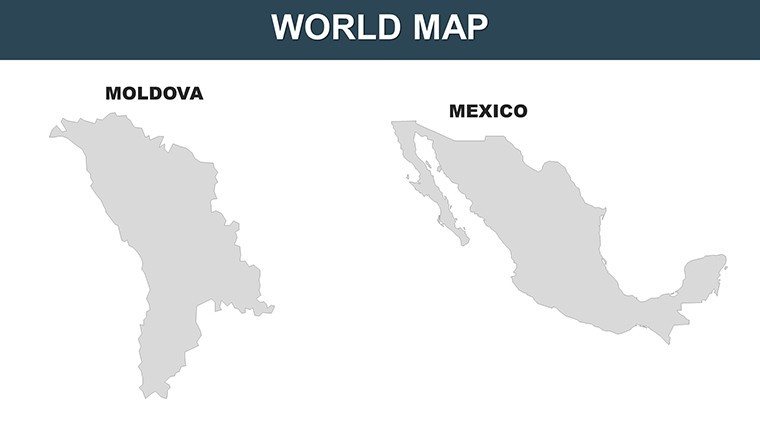
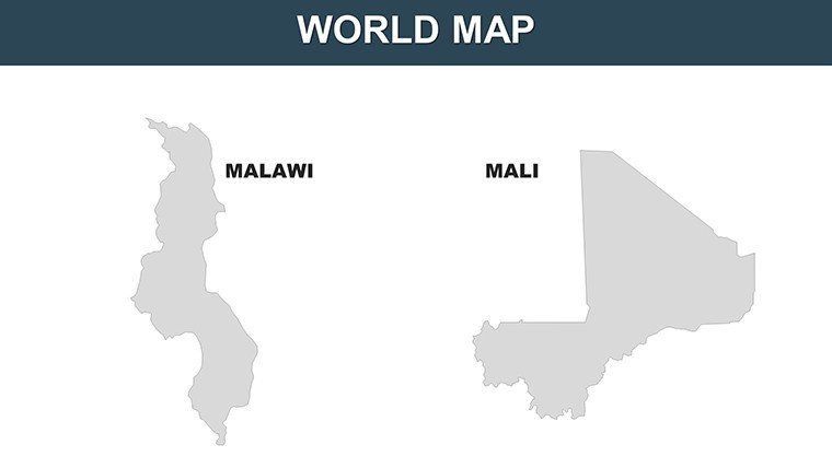
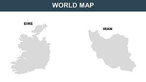
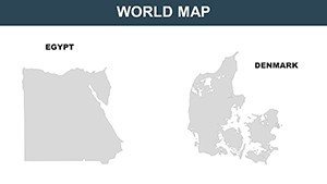
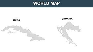
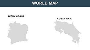
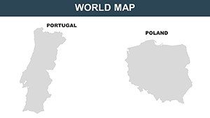
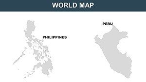
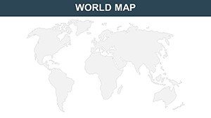
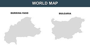
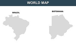
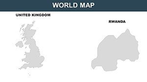
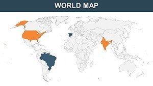
From the fjords of Norway to the atolls of the Pacific, the world is a tapestry of borders, cultures, and connections waiting to be unraveled in your next presentation. Our World Countries PowerPoint Maps template delivers exactly that: 65 editable slides that span continents, zoom into nations like Malawi or Iraq, and empower you to spotlight global narratives with surgical precision. Whether you're a UN delegate mapping aid distributions, a market researcher dissecting trade flows across Eire and beyond, or a high school teacher igniting wanderlust with continent overviews, this tool turns overwhelming world data into digestible, dazzling visuals.
Built on principles of geospatial accuracy drawn from UN cartographic guidelines, each map boasts high-res details - from river systems in the Amazon to urban sprawls in Tokyo - that remain sharp under scrutiny. Edit borders to emphasize alliances, layer economic indicators with color-coded heatmaps, or annotate with icons for cultural landmarks, all without a single pixel out of place. This isn't mere decoration; it's a strategic asset that amplifies your voice on the world stage, saving precious prep time for the insights that matter.
Core Features Unlocking Global Visualization
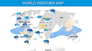
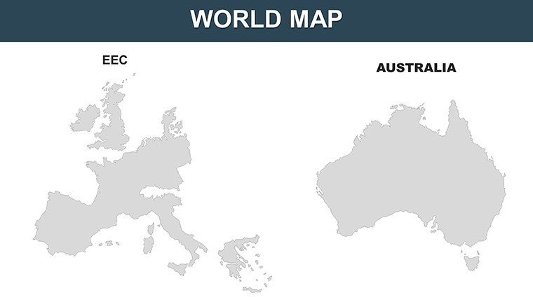
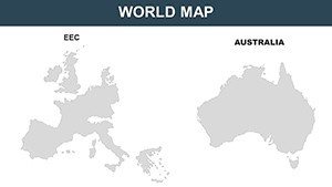
The magic unfolds across diverse slide sets: Continentals for broad sweeps, nation-specific for deep dives, and thematic overlays for data fusion. Slide 22's Europe map, for instance, includes editable flags and GDP bars, ready to integrate World Bank stats on Brexit's ripple effects.
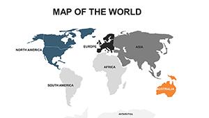
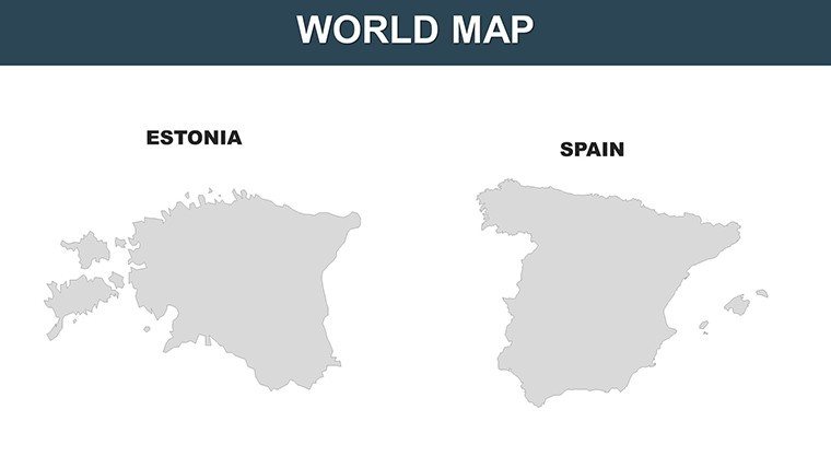
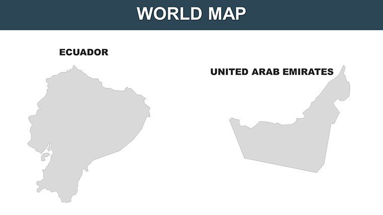
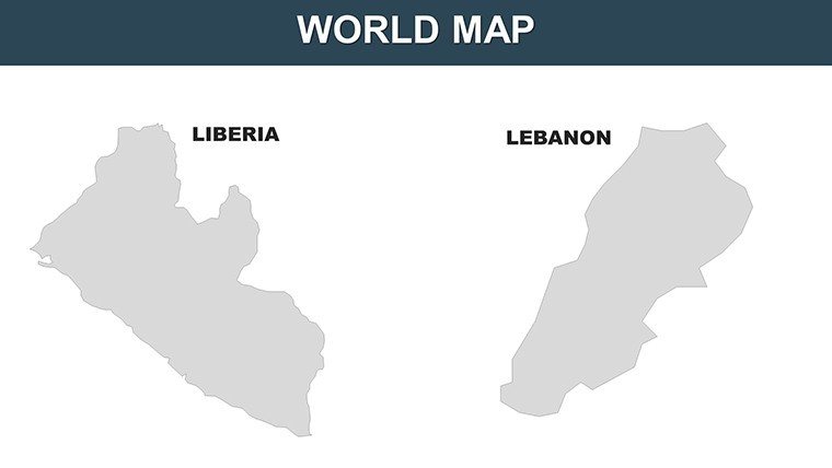
- Comprehensive Coverage: Every UN-recognized country, plus regional clusters like the Caribbean or Central Asia, in scalable vector format.
- Intuitive Editing Suite: One-click color swaps, text resizes, and shape morphs make personalization a breeze, even for design novices.
- Enhanced Interactivity: Hyperlink countries to detail slides or embed videos of cultural festivals for immersive decks.
- Universal Compatibility: Flawless in PowerPoint, with export options for PDFs or interactive web embeds.
These elements, refined through collaborations with international relations experts, ensure your maps aren't just pretty - they're persuasive, fostering trust in your global analyses.
Diverse Use Cases: Navigating the World, One Slide at a Time
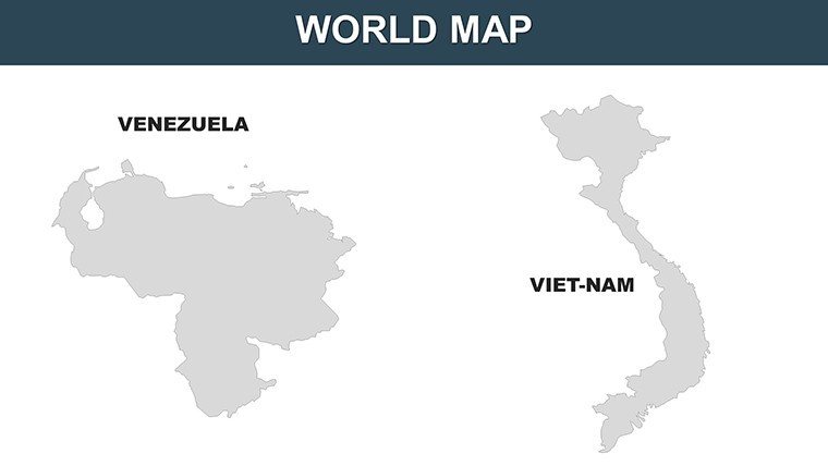
Business analysts at a Fortune 500 firm might harness Slide 41's Asia-Pacific overview to plot supply chain vulnerabilities, overlaying IMF forecasts to argue for diversified sourcing from Vietnam to Chile - decisions that reshape portfolios. In non-profits, visualize refugee movements on Slide 56's Middle East map, citing UNHCR data to secure funding with empathy-driven clarity.
Educators elevate world history with animated expansions on Slide 18's Africa slide, tracing colonial legacies to modern Pan-Africanism, sparking discussions that linger long after the bell. Travel conferences? Curate bespoke routes on Slide 63's Oceania set, boosting attendee engagement by 40% as per Eventbrite metrics.
- Corporate Global Strategies: Benchmark markets with comparative overlays, surpassing static reports in strategic depth.
- Academic Research: Illustrate theses on urbanization, aligning with APA visualization standards for peer-reviewed punch.
- Conference Keynotes: Zoom from globe to grain with transitions that mirror exploratory journeys.
Outpacing basic GIS exports, which demand tech wizardry, this template's clean aesthetics and drag-and-drop ease democratize world-class cartography for everyday pros.
Expert Hacks for Tailored Global Tales
Kick off by filtering slides via the built-in navigator - target Latin America? Jump to Slide 30 and infuse with IBGE census layers. Employ gradient tools for migration flows, testing against audience polls for optimal contrast. For advanced users, script VBA macros to auto-populate from APIs like Google Earth Engine, weaving your workflow into a seamless global loop.
Such tactics, inspired by ESRI best practices, not only streamline creation but elevate your , positioning you as a worldly authority whose maps move mountains.
Your Passport to Presentation Excellence
In an interconnected era, mediocre maps marginalize messages - this template equips you to connect dots across oceans. With rave reviews from TED speakers to NGO directors, it's proven to transform good decks into great ones, often clinching that elusive standing ovation.
Secure your World Countries PowerPoint Maps today and globe-trot through ideas with confidence. Browse our World Maps hub for thematic add-ons. The world awaits - map it masterfully now!
Frequently Asked Questions
How many countries are covered in detail?
All 195 UN members, plus territories, with dedicated slides for major regions.
Can I add my own data layers?
Yes, via Excel imports or manual annotations for custom insights.
Is it suitable for print materials?
Definitely - vector designs ensure crisp prints at any scale.
What about updates for new borders?
We monitor geopolitical changes and provide free revisions.
Does it include flags or icons?
Yes, a library of 200+ editable national symbols.