UK Editable PowerPoint Maps: Dynamic Template


Type: PowerPoint Maps template
Category: Europe
Sources Available: .pptx
Product ID: PM00055
Template incl.: 44 editable slides
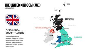
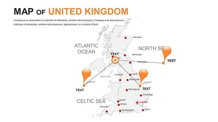
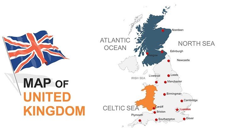
Envision the Thames' meander etched in elegant lines, evolving before your eyes to spotlight urban renaissance or rural revitalizations. Our Editable United Kingdom PowerPoint Maps Template unfurls 44 slides of refined cartography, crafted for those decoding the realm's intricacies. Suited to policymakers parsing post-Brexit trade webs, heritage stewards chronicling Roman legacies, or developers plotting HS2 corridors, it forges pathways from data deluge to distilled discourse.
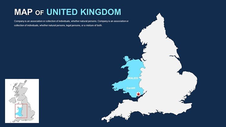
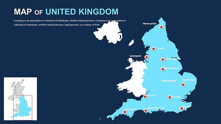
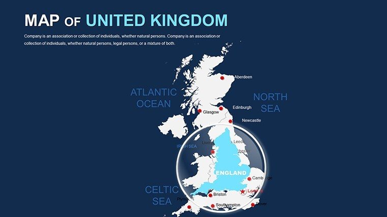
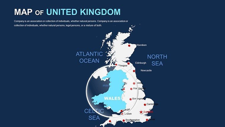
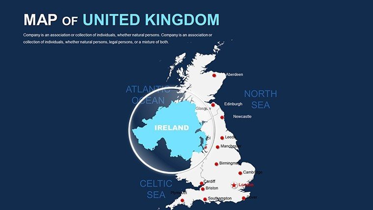
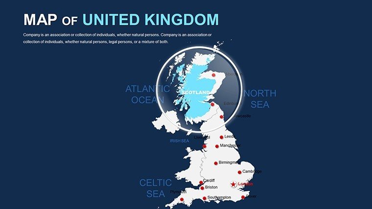
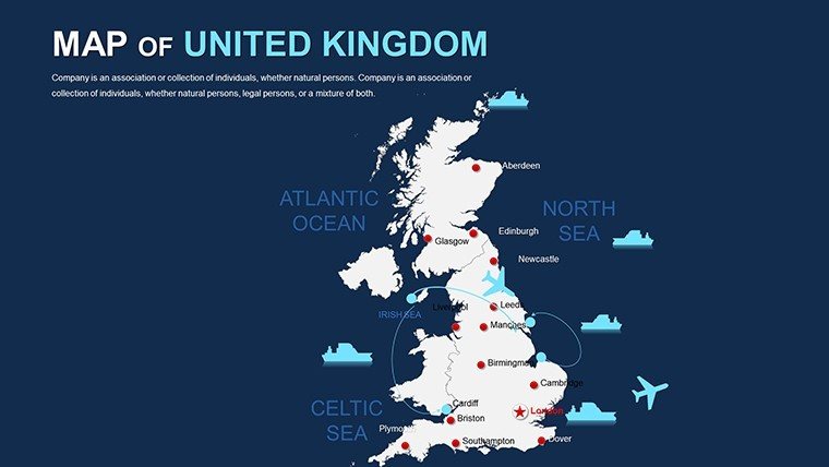
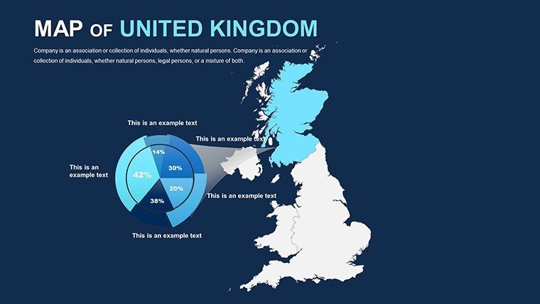
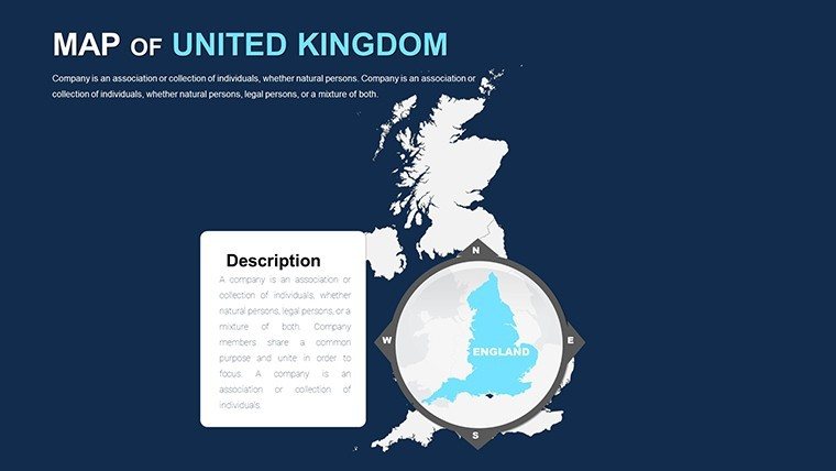
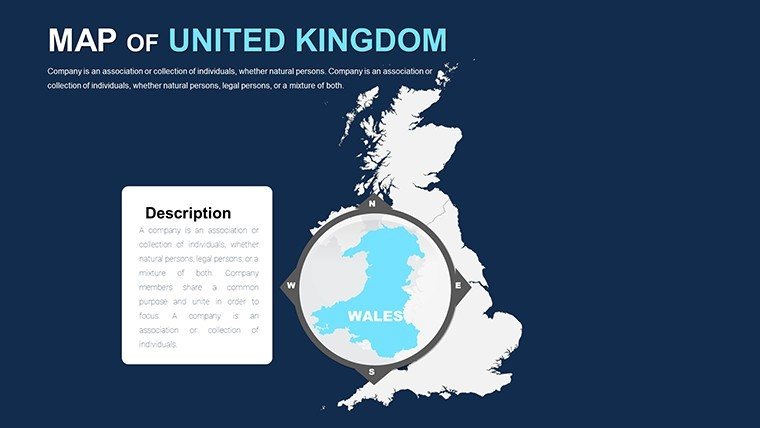
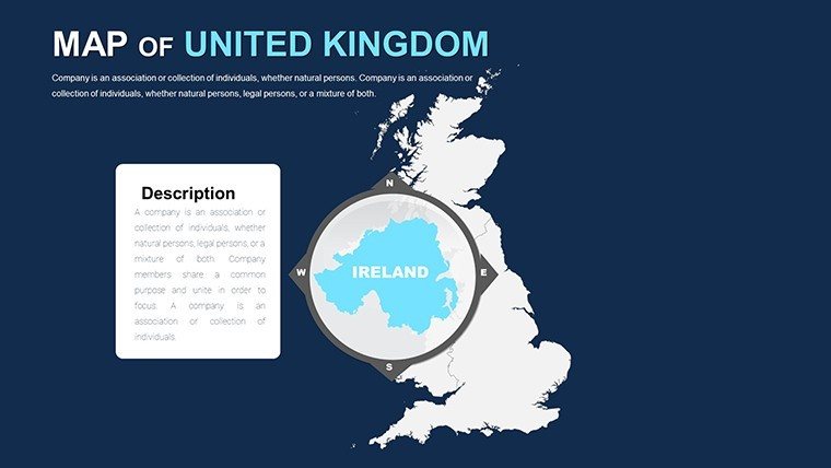
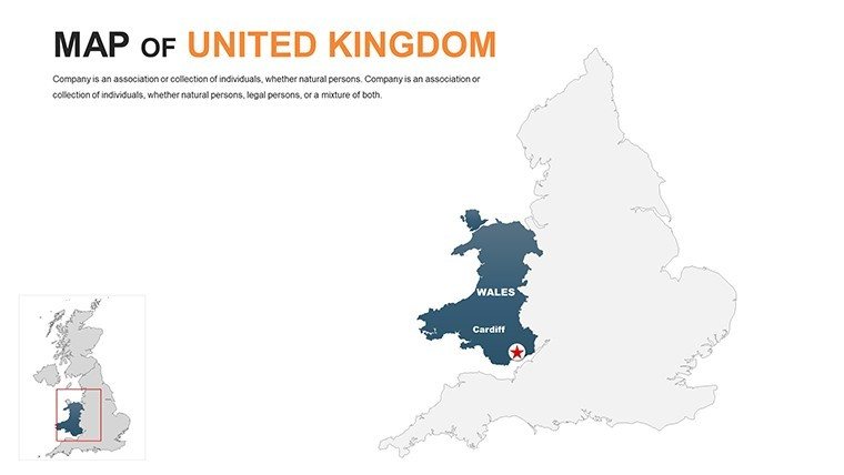
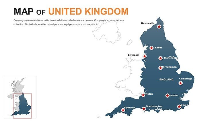
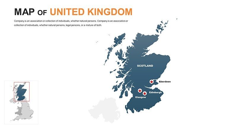
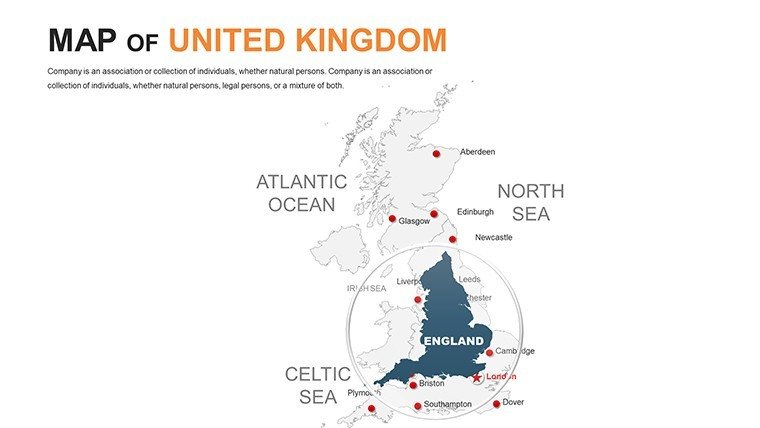
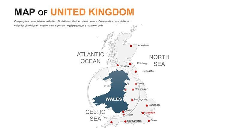
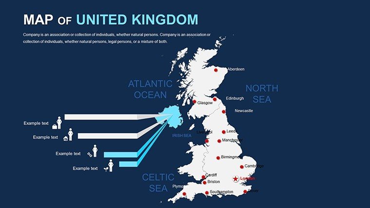
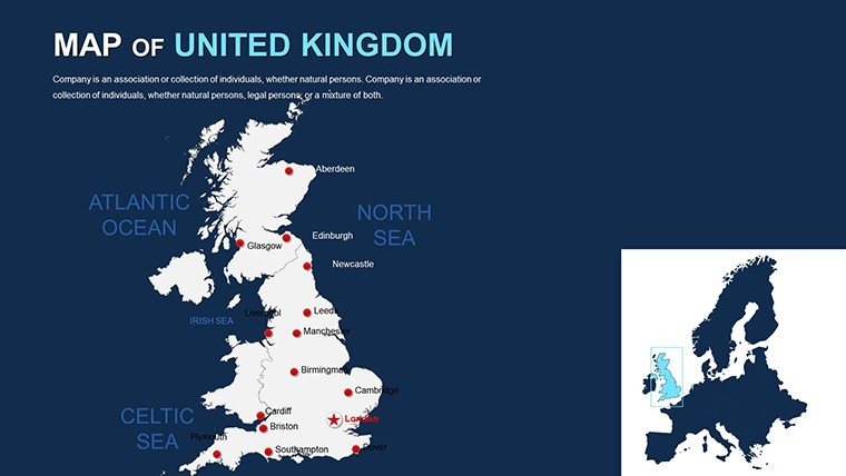
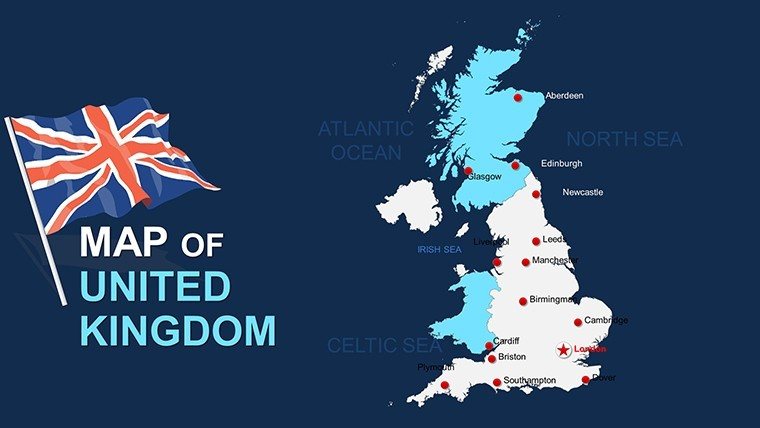
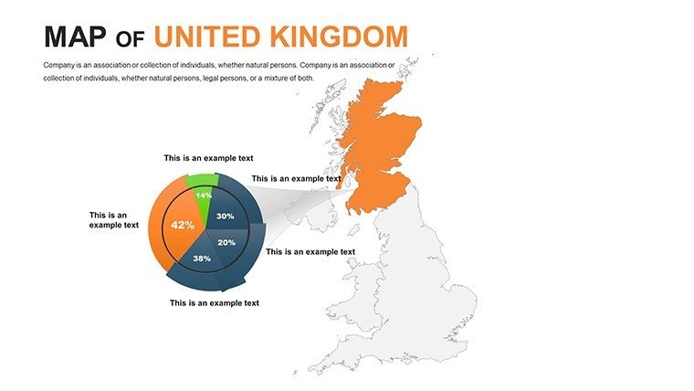
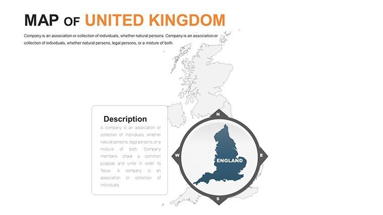
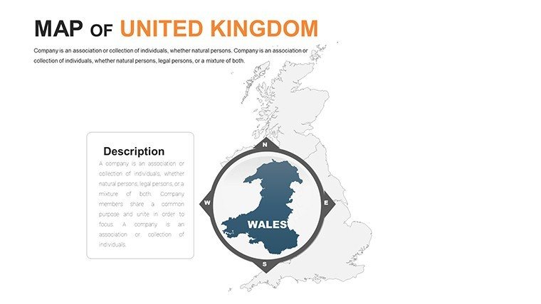
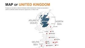
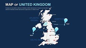
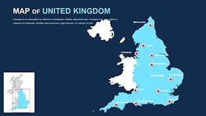
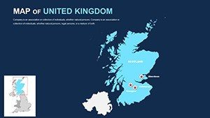
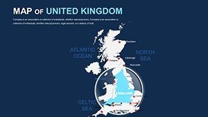
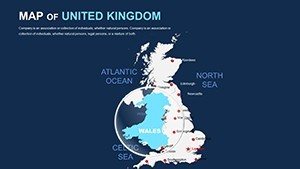
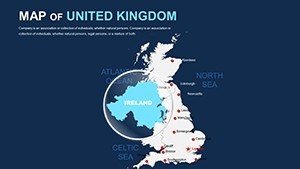
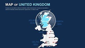
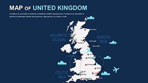
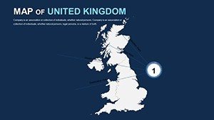
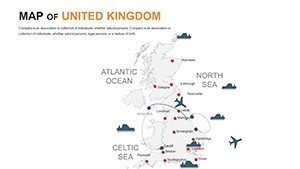
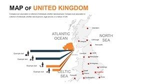
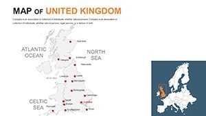
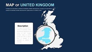
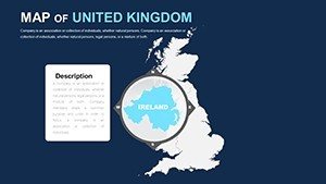
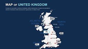
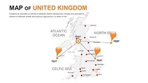
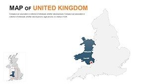
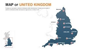
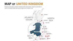
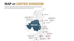
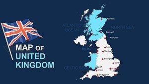
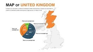
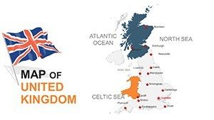
Its essence? Adaptive artistry: Precise perimeters of England, Scotland, Wales, and Northern Ireland, vector-forged for bespoke bends. PowerPoint-centric (.pptx) yet Google Slides gracious, it meshes into matrices of modernity. Adorn a unitary sketch with donut diagrams denoting devolved powers, or partition the Hebrides with vein-like transport nets. Aligned with Ordnance Survey precision and insights from the Royal Geographical Society, these frames furnish fortitude for forums from Westminster whispers to webinar waves.
Forging Fluid Frameworks: Edit with Elegance
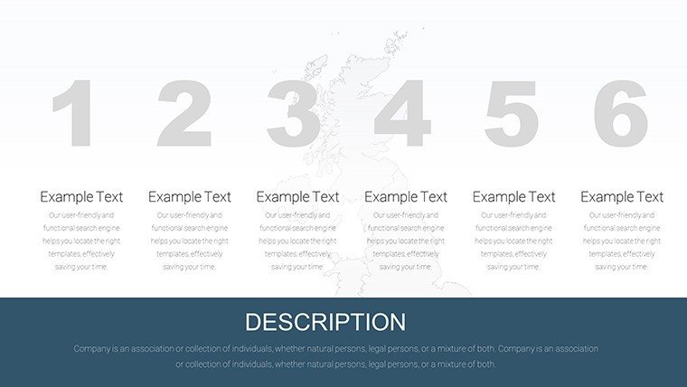
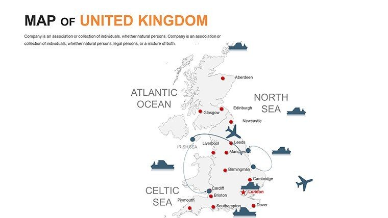
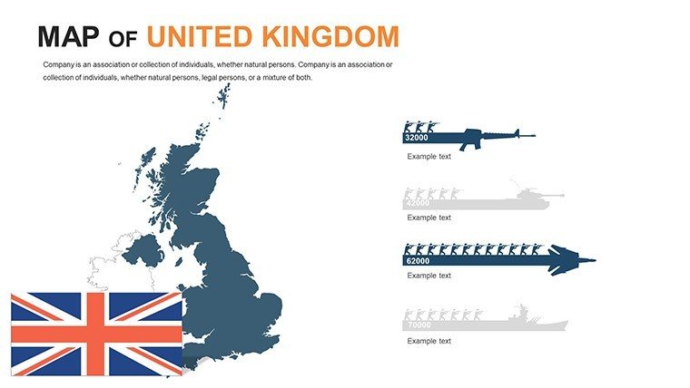
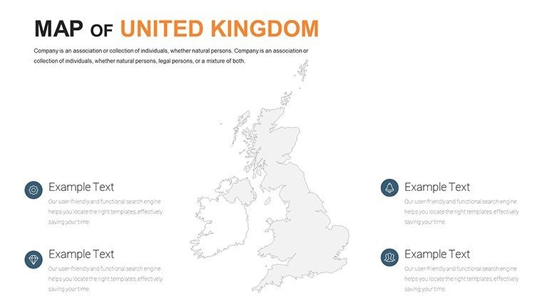
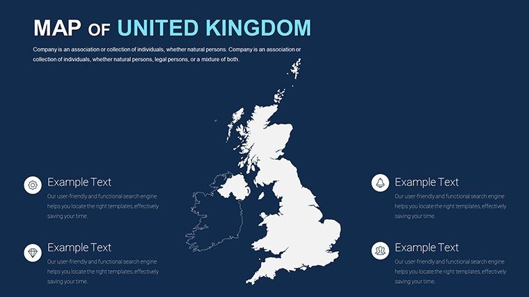
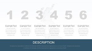
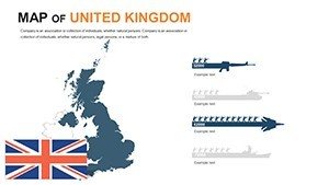
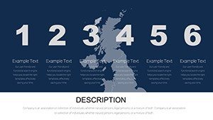
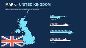
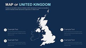
At the nucleus: 10 template touchstones - administrative arcs, contour cascades, and motif montages - each an invitation to innovate. Transmute the Cotswolds' contours in verdant veils or trim to spotlight the Scottish Highlands. Iconic inventory? 180+ emblems, from Tudor roses to wind turbines, weaving whimsy into wisdom.
- Unwavering Upscalability: Vectors vigilant against voids, from pixel peeks to panorama prints.
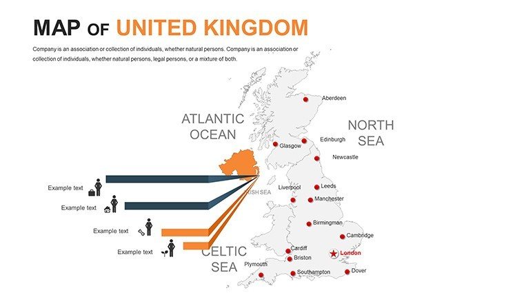
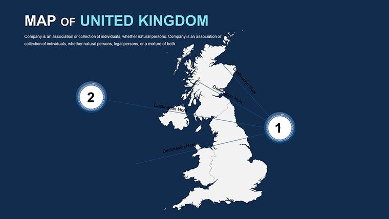
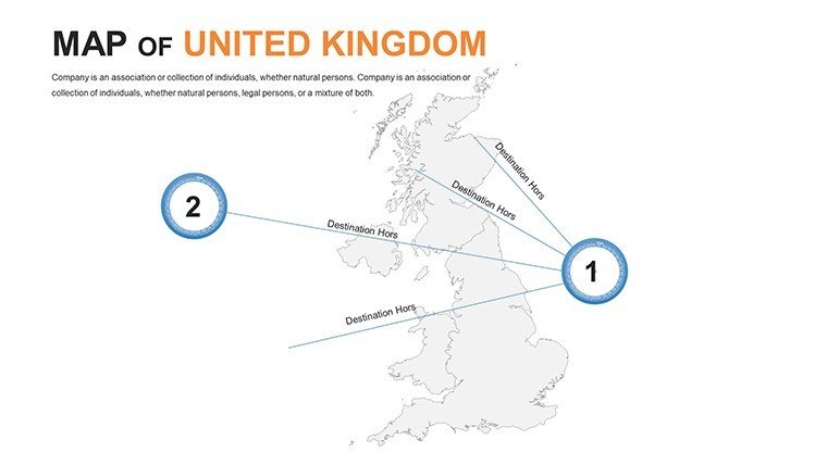
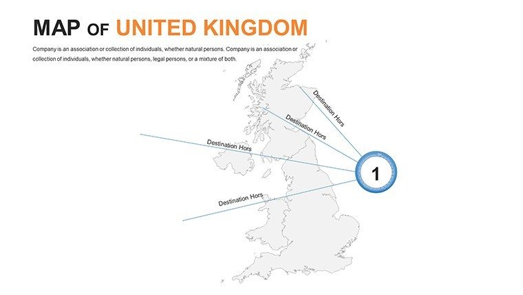
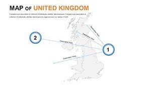
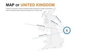
- Networked Nuances: Tethered tables that telescope from national to neighborhood narratives.
- Harmonic Hues: Schemes that sway with stylistic sentinels, safeguarding sameness.
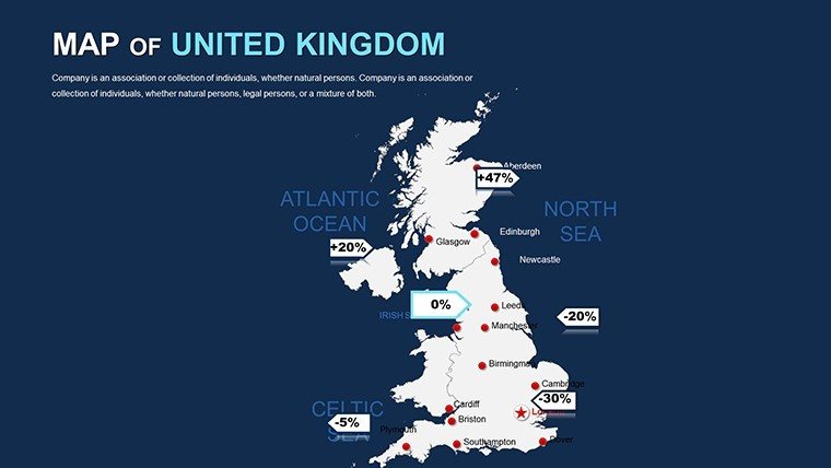
Edit expedition: Ignite the archive, alight at "UK Demographic Drifts," hue-shift through harmony wheels for equity emphasis, then interlace infographics for inequality indices. Synergy for squads? Etherial exchanges endure exactitude. Resonating with ONS visualization ventures, it's the keystone for communications that compel.
Contextual Canvas: Contexts That Captivate
Strategy sages, stencil supply snarls in the Channel, phasing fluxes for friction forecasts. Lore luminaries enliven Eboracum evolutions over epochal epochs, grafting glyphic glosses. Planners paralleling those at RTPI superimpose zoning zonals on zoning zephyrs for viability validations.
Exemplar echo: A Cardiff consultancy conscripted this for a levelling-up lobby, layering locality lifts over legacy lags - garnering £10M in grants through graphic gravitas. Folklore foragers frame folklore forays along ley lines, lore-laden links for labyrinthine lore. Anchored in British Cartographic Society bedrock, these evocations engender enduring echoes.
Transcending Trite Topography
Evade ephemeral embeds - our exemplars execute expeditiously, emend elegantly, exempt from format fiascos. Grid graces and auto-affixes abolish asymmetries, whilst vividness validators vouchsafe versatility. It's the veneer that vaults virtuosos.
Process prowess: Pair with QGIS quotients for quaternary quests, or VBA vivify vignette variants. Endorsed by cartographers at the British Library for bespoke brilliance.
Adept Amendments: Ascend Your Artistry
- Tier Thoughtfully: Found with facades, foment fineries like fjord facets in fluid flourishes.
- Keynote Kinetics: Craft them cursorial - cascading to cloaked clarities.
- Clutter Curb: Confine clutter to cores; cascade to captions for copiousness.
- Vivify Vibrantly: Venture ventures for veiled unveilings, like unveiling upland undulations in unison.
Pursue prowess - Procure the UK PowerPoint Maps template presently and let insular inspirations ignite your idiom. From assemblies to auras, orchestrate oratory that outlasts.
Frequently Asked Questions
Are boundaries based on official sources?
Affirmative - sourced from OS datasets for authoritative accuracy and updates.
Can I integrate live feeds?
Undoubtedly - link to APIs for pulsing populaces or precipitous polls.
What's tailored for policy wonks?
Annexed analytics aids and amendment trackers for advocacy armories.
Accommodates archipelago accents?
Affords ample for Anglo, Celtic, and Gaelic graphemes.
Vigor with vast vignettes?
Partitioned prowess propels promptly, parsing 800+ particulars placidly.
Handheld harmony?
Harness handouts or handheld handlers for hasty harmonies.