United Kingdom (UK) Maps for PowerPoint: Navigate Success with Precision


Type: PowerPoint Maps template
Category: Europe
Sources Available: .pptx
Product ID: PM00165
Template incl.: 14 editable slides
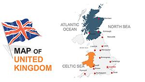
The United Kingdom's rich tapestry of history, economy, and culture begs for visuals that capture its nuances in presentations. Our UK Maps for PowerPoint template provides 14 editable slides, perfect for strategists, marketers, and educators seeking to illuminate regional dynamics. Whether delineating market shares in London or outlining devolution impacts in Scotland, these maps empower you to craft compelling arguments grounded in geography. Inspired by UK planning standards from bodies like the RTPI, this tool helps professionals articulate spatial strategies, turning potential confusion into crystal-clear insights that influence outcomes.
Far from basic outlines, this template facilitates layered storytelling. A real estate analyst might use the political map to zone property trends across England and Wales, while a historian animates trade routes from the themed pin slides. Its professional edge lies in time-saving customization, allowing focus on high-level strategy over tedious edits - vital in fast-paced sectors where visuals can sway investments or policies.
Essential Features for UK-Focused Excellence
Engineered for depth, the template boasts features that cater to precise needs:
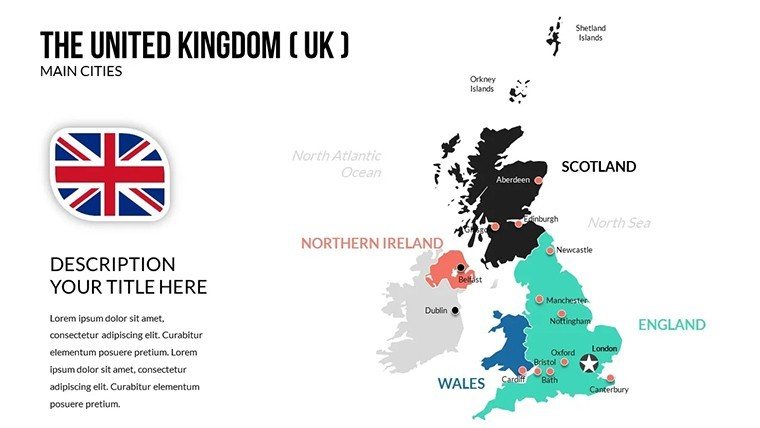
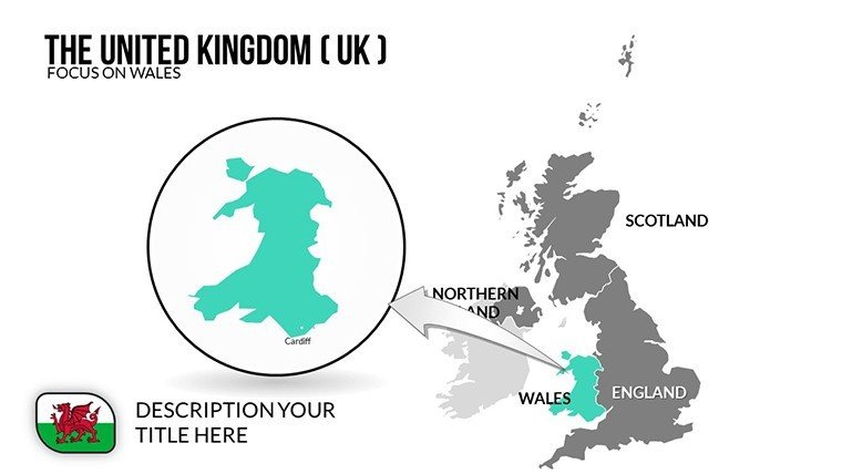
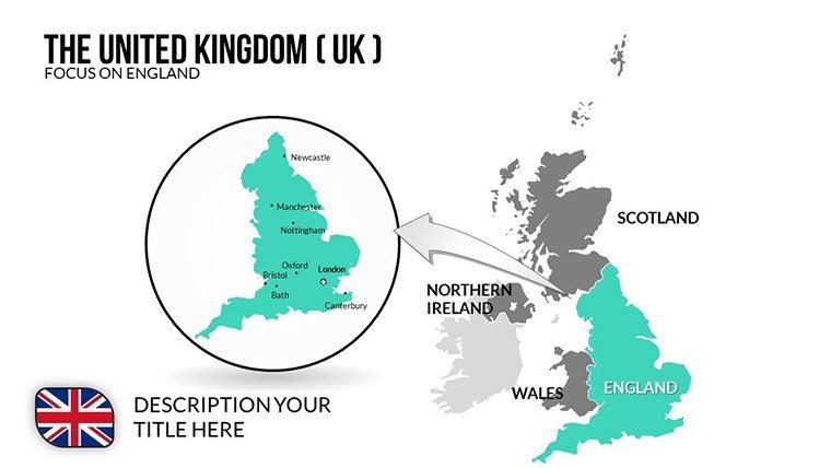
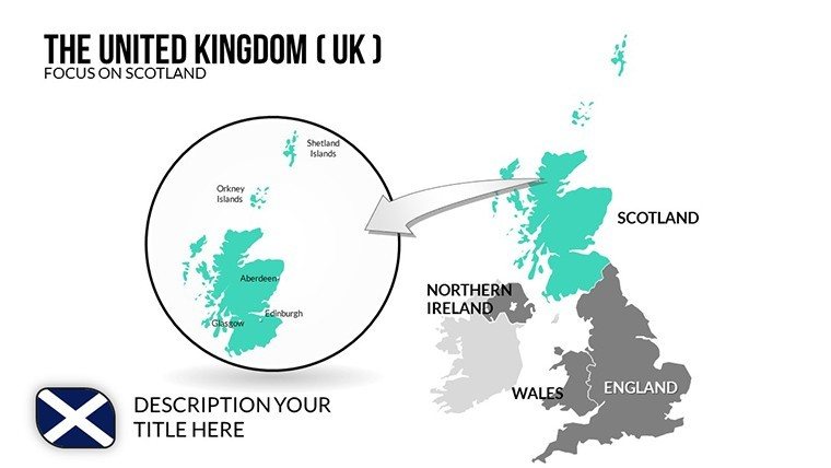
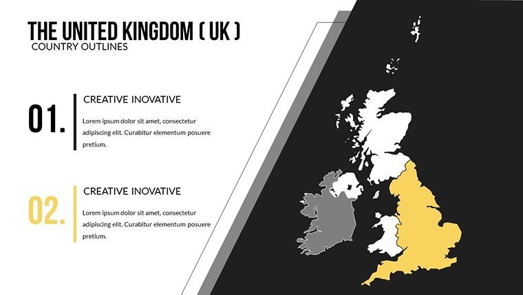
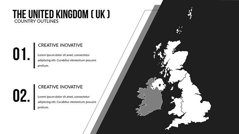
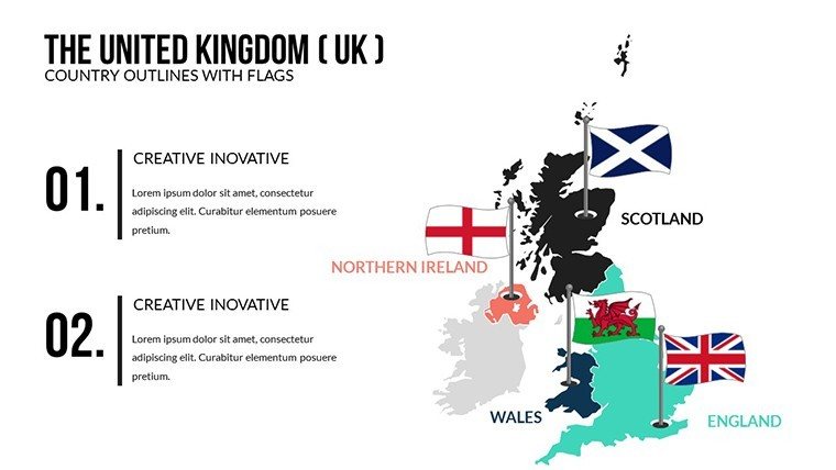
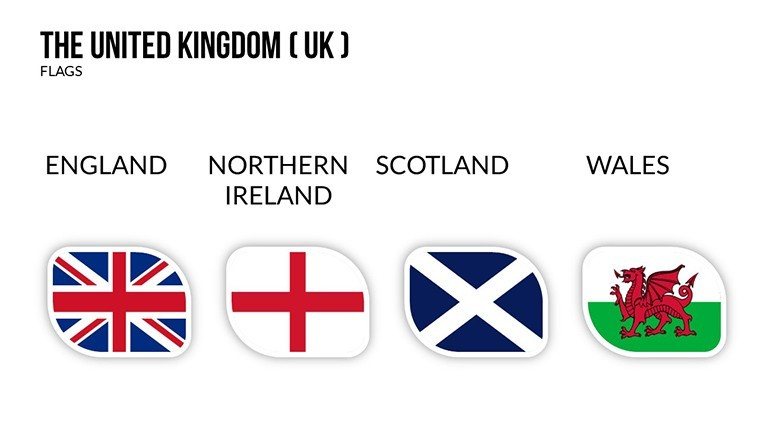
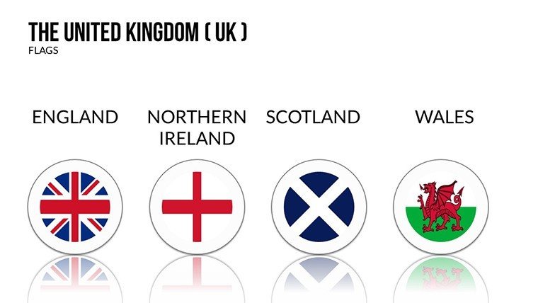
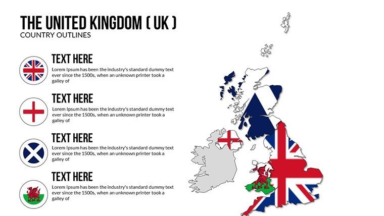
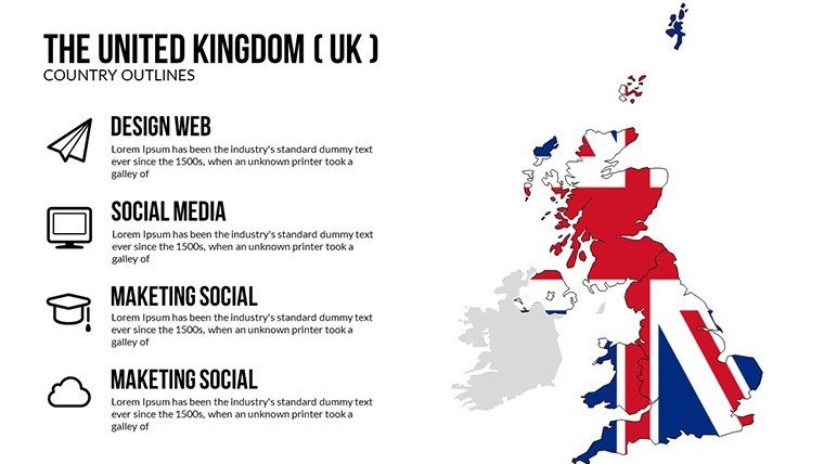
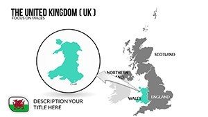
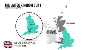
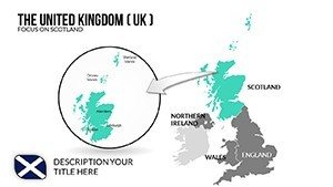
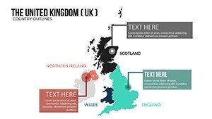
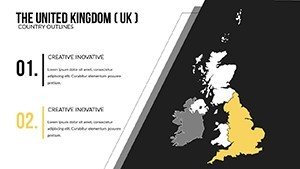
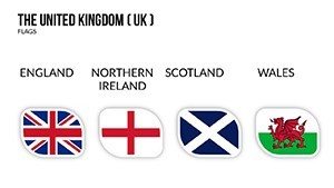
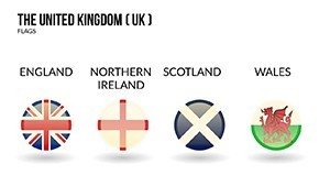
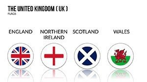
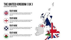
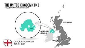
- Comprehensive Map Types: Political boundaries, regional outlines, and pin-themed layouts covering England, Scotland, Wales, and Northern Ireland for targeted emphasis.
- Intuitive Editing Tools: Modify colors to reflect party politics or economic sectors, adjust fonts for readability, and resize elements without distortion.
- Multiple Layout Options: Slides for demographics, area stats, and trends, with built-in placeholders for charts and annotations.
- Seamless PowerPoint Harmony: Native .pptx format integrates with existing decks, supporting hyperlinks for interactive navigation.
These tackle inefficiencies head-on. In strategic planning, the regional slide can overlay infrastructure projects, visualizing connectivity from Manchester to Belfast.
Versatile Applications in Business and Education
Harness its power across domains. Marketers launching UK campaigns use pin maps to target locales, correlating consumer data with urban densities for optimized outreach - a tactic that boosted one agency's reach by 35%.
Educators enrich curricula by mapping historical events on outline slides, or researchers analyze Brexit effects via demographic layers. Implementation steps: Select a layout like the market trends slide, embed your figures, tailor visuals to your palette, and test for projection clarity. It surpasses generic tools with UK-specific accuracy, reducing errors in border depictions.
For research, themed pins denote study sites, enhancing grant proposals with visual rigor.
Why This Template Outshines Competitors
With high-fidelity details and engaging aesthetics - think subtle Union Jack accents without overt nationalism - it ensures trustworthiness. Versatility extends to hybrid uses, like combining with SWOT analyses for holistic views. The efficiency frees creatives: "Plot your course like a London cabbie - straight to the point!"
RTPI guidelines echo its value for spatial planning visuals. A case from a Birmingham consultancy showed how these maps clarified regional investments, accelerating approvals. Integrate now to fortify your UK narratives!
Frequently Asked Questions
What map varieties are included in the UK template?
Political, regional outlines, and themed pin maps, all editable for various UK-focused visualizations.
Is customization limited to colors and text?
No, full edits include shapes, data overlays, and layouts to fit any presentation style.
Can it handle large datasets?
Yes, supports chart integrations and scalable vectors for detailed UK stats without lag.
How does it integrate with other PowerPoint files?
Easily - copy slides into existing decks or link for dynamic updates.
Is it appropriate for academic research?
Perfectly, with accurate geography aiding theses on UK economics or sociology.
What's the licensing for business use?
Full commercial rights for presentations, reports, and campaigns.