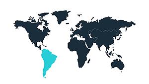
Our South America PowerPoint templates span the continent`s grandeur, ideal for geographers, resource explorers, and cultural narrators. Detailed biomes, river systems, and urban centers await customization for sweeping overviews.
Project population densities or mineral deposits with intuitive tools, harnessing PowerPoint`s morph effects for continent-spanning transitions. Suited for lectures or corporate strategies.
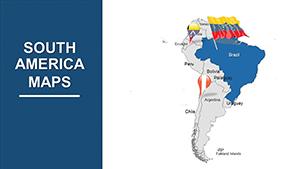
From Patagonia to the Guianas - curate your map mosaic from our diverse picks.
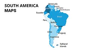
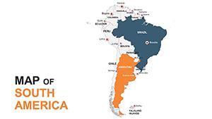
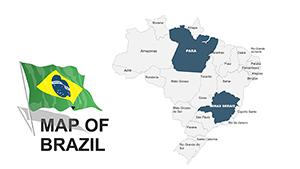
The continent`s biodiversity begs for expansive mapping - our templates feature biome partitions and elevation tiers, editable for thematic emphasis like deforestation fronts. This depth eclipses simplistic outlines, fostering nuanced discourse.
Resource firms chart mining concessions; anthropologists trace migration waves. Festivals showcase carnival routes vibrantly.
Stock maps ignore nuances; ours link to Excel for live commodity pricing.
Maintain equatorial projections for accuracy. Fuse satellite imagery snippets ethically. For engagement, quiz hotspots interactively.
Ingenious: Morph Amazon basin seasonally, or embed samba rhythms for cultural decks.
30+ configurations - claim yours and conquer the canvas.
A sustainability summit mapped carbon sinks, galvanizing pledges. A travel expo traced Inca trails, captivating explorers.
Versatile for agribusiness, plotting soy expansions.
| Attribute | Everyday | Elite Templates |
|---|---|---|
| Biome Detail | Coarse | Fine-Grained Zones |
| River Networks | Simplified | Tributary Full |
| Urban Density | Dots | Gradient Scales |
| Morphing | Absent | Seamless Transitions |
Transform scope - download and delineate destiny.
Inquiries? Collection calls - download and discover depths.
Copyright © 2009-2026 ImagineLayout All rights reserved.