World Countries PowerPoint Maps: Download PPT


Type: PowerPoint Maps template
Category: World
Sources Available: .pptx
Product ID: PM00162
Template incl.: 10 editable slides
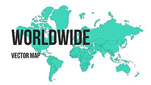
Navigating the complexities of our planet requires tools that blend accuracy with artistry, and our World Countries PowerPoint Maps Template delivers just that through 10 meticulously designed editable slides. Covering nations from the icy fjords of Norway to the tropical isles of Indonesia, it's a gateway for users to explore geopolitics, environments, and cultures visually. Tailored for educators sparking curiosity in young minds, business leaders charting international ventures, or travelers planning epic journeys, this template transforms raw data into vivid, memorable presentations.
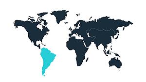
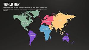
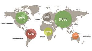
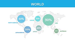
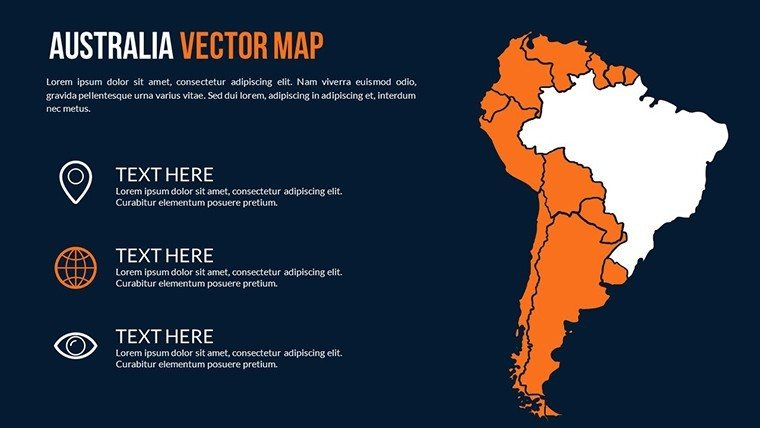
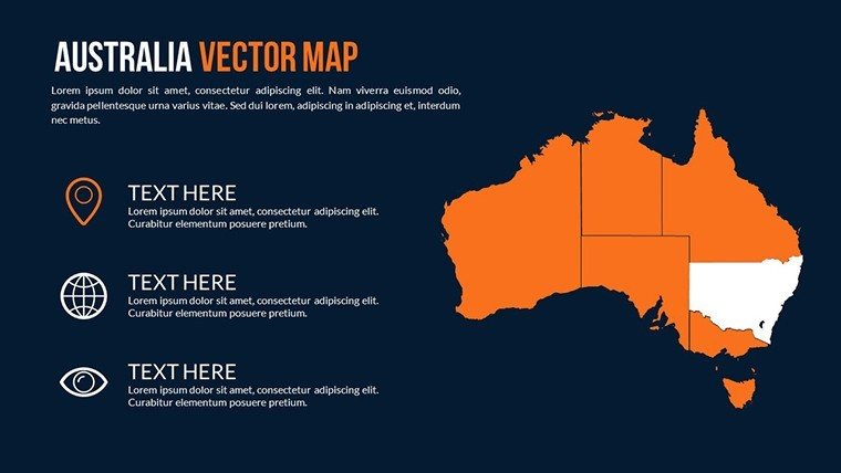
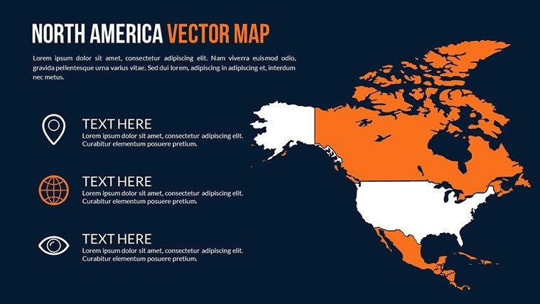
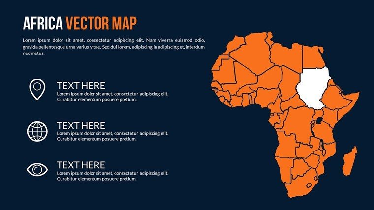
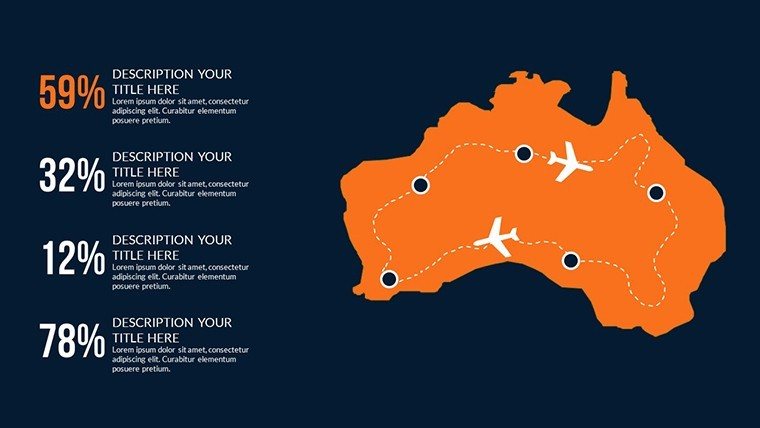
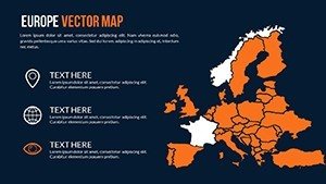
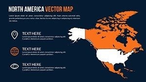
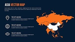
Its comprehensive geographic features shine in slides dedicated to continents, allowing users to highlight specifics like Asia's economic powerhouses or Europe's historical landmarks. Picture a customized view where environmental issues are mapped - deforestation in the Amazon shaded in fading greens, juxtaposed with reforestation efforts in China.
Essential Features and Customization Depth
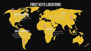
The template's hallmark is its customization suite: Tweak styles to fit themes, from minimalist for corporate settings to vibrant for educational fun. Annotations enhance clarity, labeling UNESCO sites or economic zones, while multimedia integration lets you embed videos of natural wonders like the Grand Canyon.
User navigation is intuitive, with regular updates ensuring current borders and data relevance. For a non-profit on climate action, customize a slide to focus on vulnerable nations like the Maldives, using illustrations to underscore rising sea levels.
- Visual Appeal: High-quality maps that captivate, perfect for impressing stakeholders.
- Compatibility: Integrates with PowerPoint and beyond for broad use.
- Updates: Keeps your content accurate in a changing world.
It overcomes thin content issues by offering depth, far superior to basic templates that lack interactivity.
Broad Applications and Insights
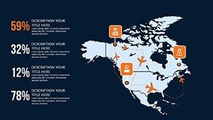
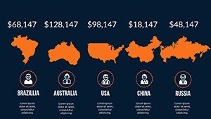
Educators can craft lessons on global diversity, mapping migration from Syria to Europe with paths and stats. Business pros gain from demographic analyses, shading countries by consumer markets to inform strategies, referencing Harvard Business Review case studies.
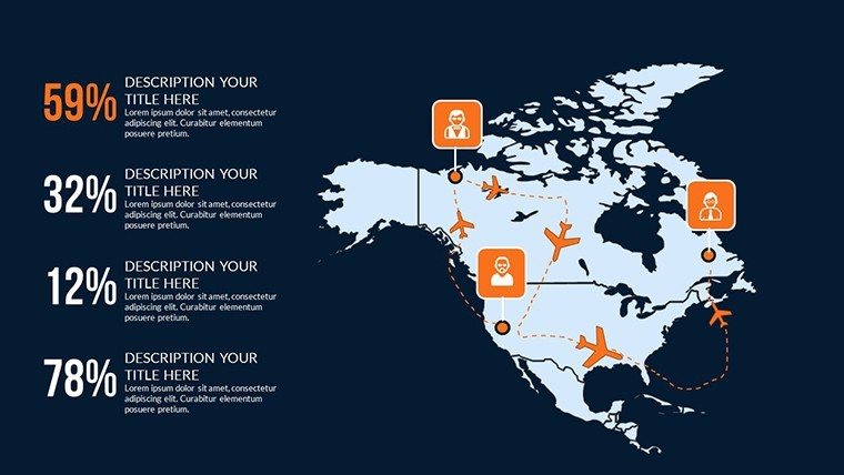
Travel enthusiasts plan with detailed landmark pins, creating itineraries that blend adventure and education. Researchers delve into geopolitics, visualizing conflicts in Ukraine or trade wars between the US and China with annotated timelines.
Government agencies use it for briefings on international aid, while NGOs highlight humanitarian needs in Yemen or Sudan. Workflow integration is seamless - edit collaboratively, export to PDFs for sharing.
Tips for Dynamic Presentations
Follow best practices: Balance visuals with text, use colors psychologically (blues for calm oceans), and conclude with an inspiring CTA like "Join the global conversation - start mapping today."
For $20, unlock endless possibilities. Seize this template and let your world views expand.
Frequently Asked Questions
How customizable are the elements?
Fully, including colors, fonts, annotations, and multimedia additions.
Is it updated regularly?
Yes, to maintain accuracy and relevancy.
Suitable for which audiences?
Educators, businesses, travelers, researchers, and more.
What software is needed?
Compatible with PowerPoint and similar programs.
Can I add videos?
Yes, embed multimedia for interactive slides.
How to highlight regions?
Use tools to focus on specific areas with ease.