South America Editable Maps: PowerPoint Template Pro


Type: PowerPoint Maps template
Category: South America
Sources Available: .ppt, .pptx
Product ID: PM00054
Template incl.: 60 editable slides
Picture the Andes' jagged spine slicing through your slide, alive with data points that pulse with economic vitality and ecological tales. Our South America Editable PowerPoint Maps Template delivers 60 meticulously crafted slides, empowering you to navigate the continent's grandeur with finesse. Geared toward environmental consultants modeling deforestation rates, economists charting Mercosur integrations, or tour operators sketching Patagonia treks, this tool distills sprawling terrains into persuasive visuals that stick.
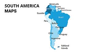
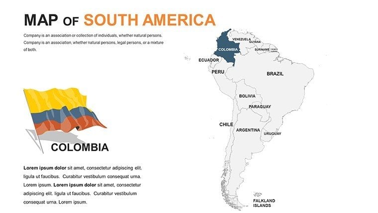
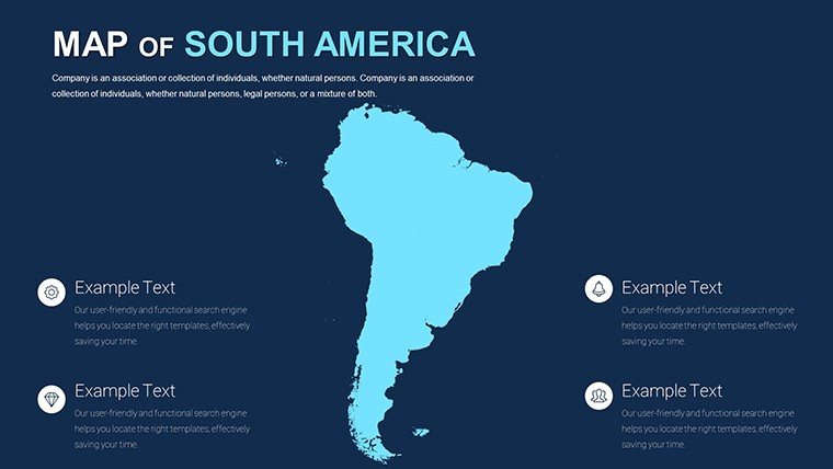
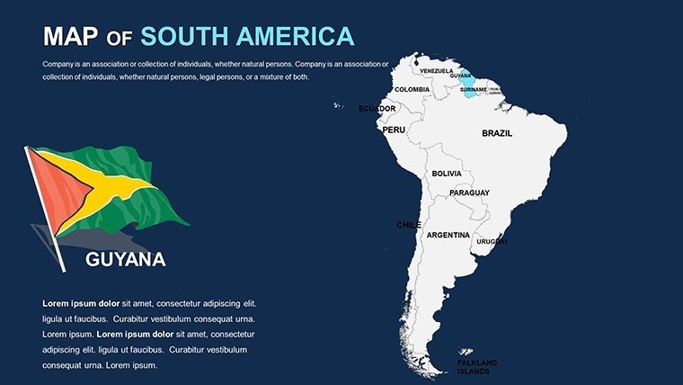
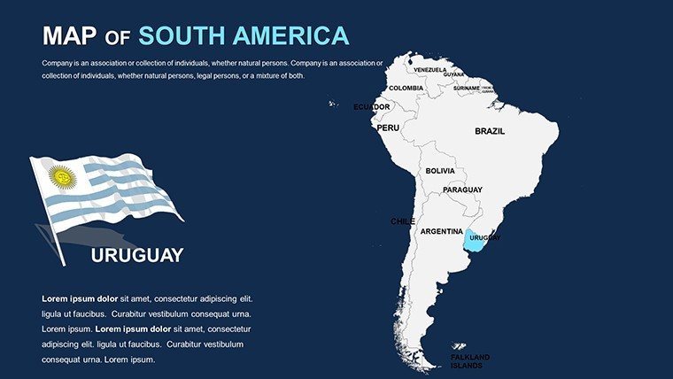
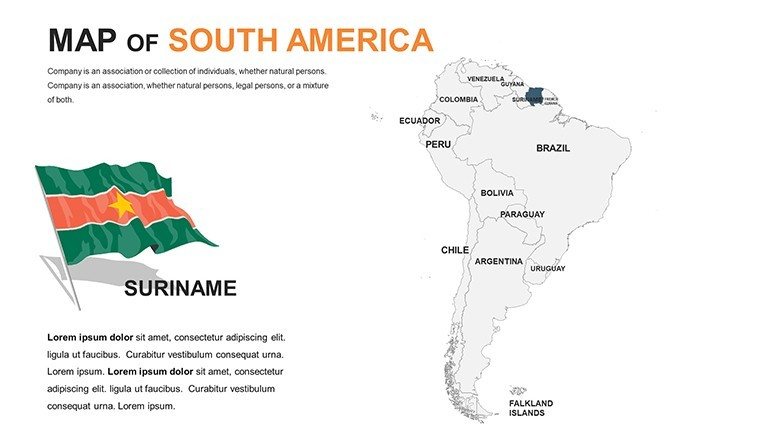
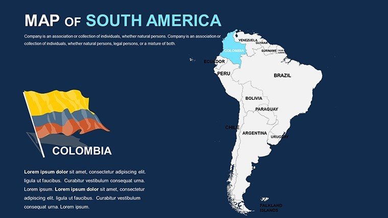
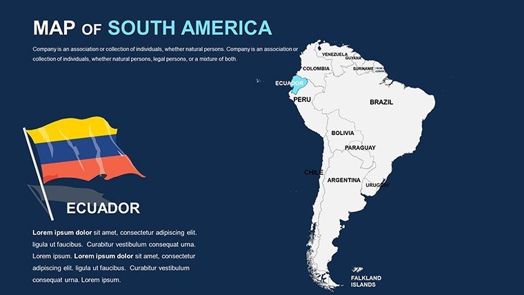
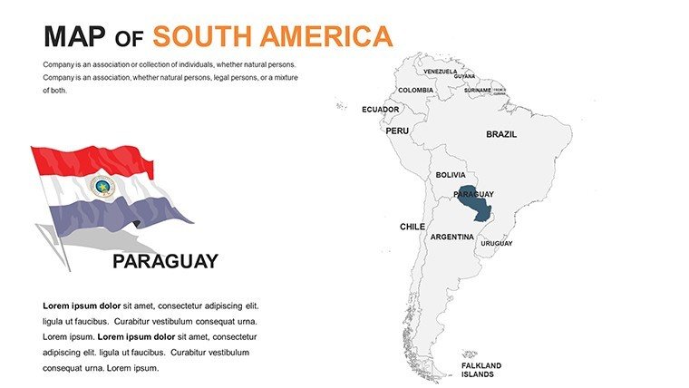
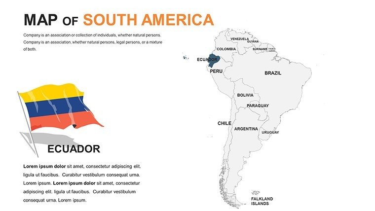
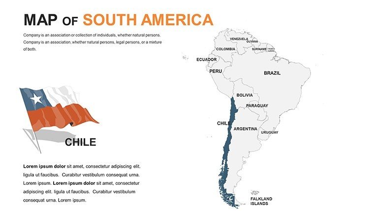
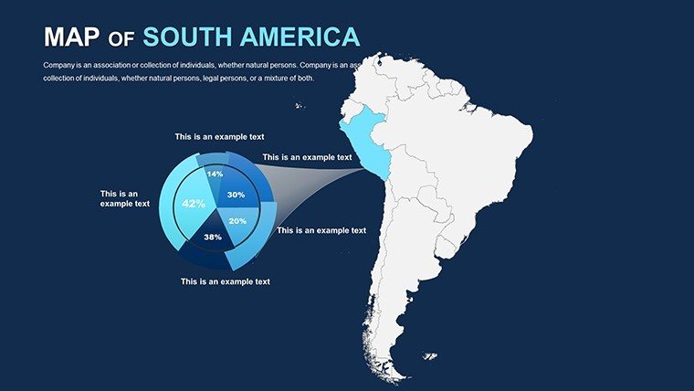
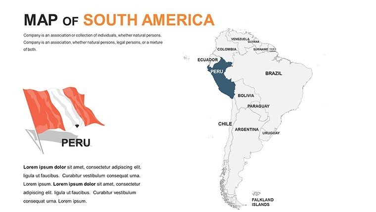
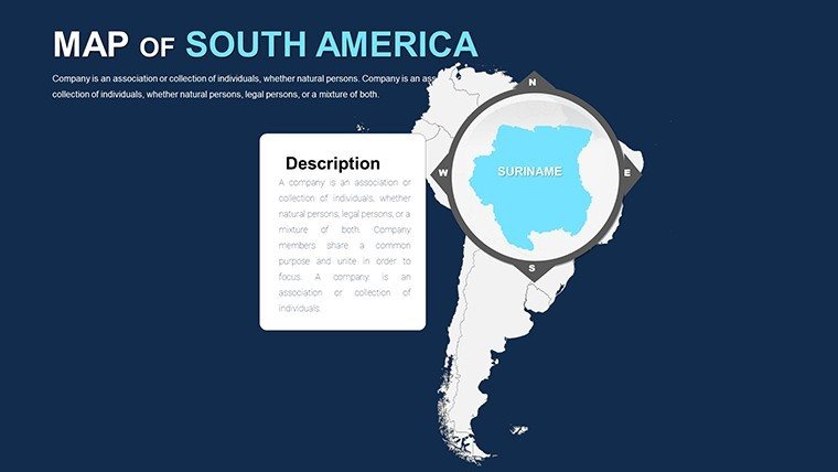
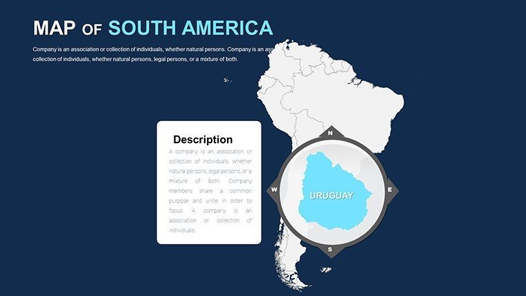
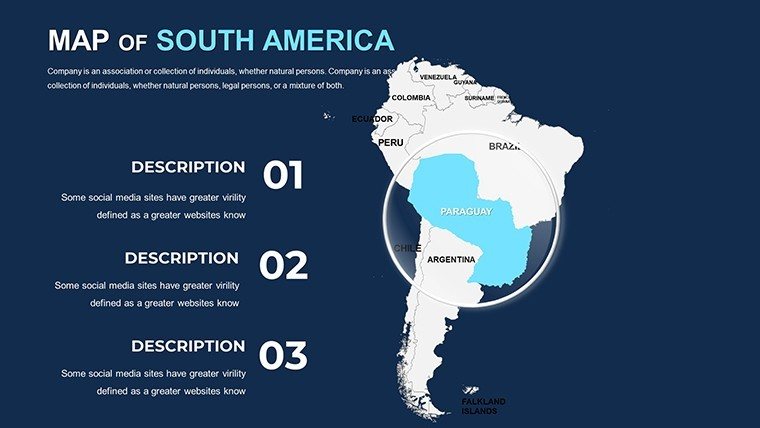
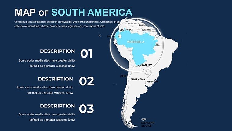
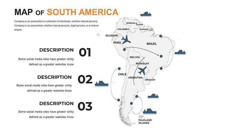
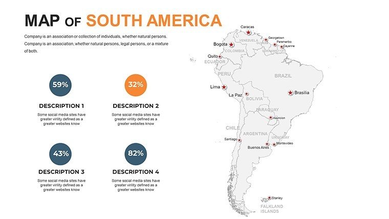
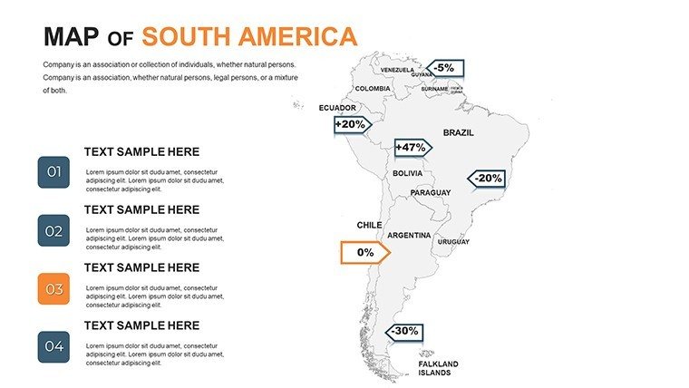
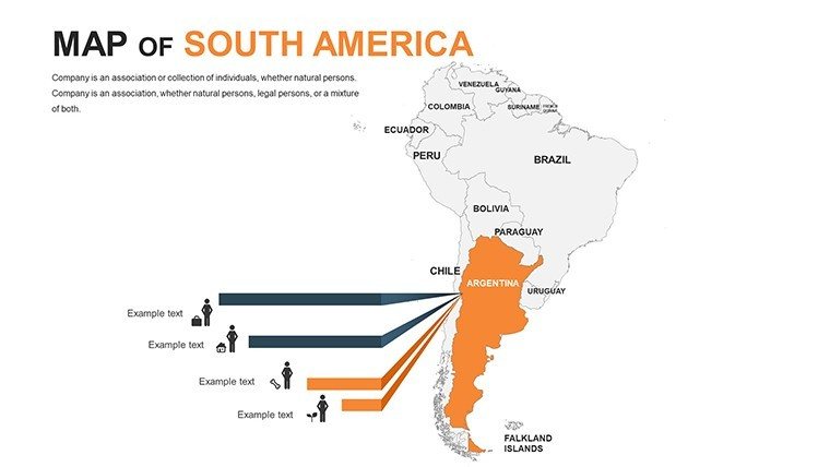
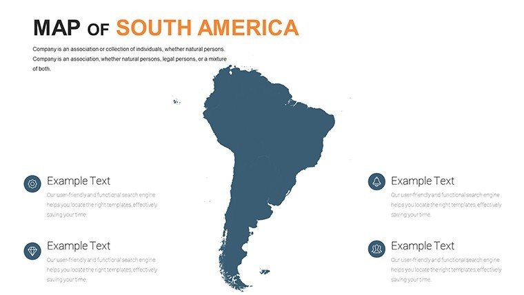
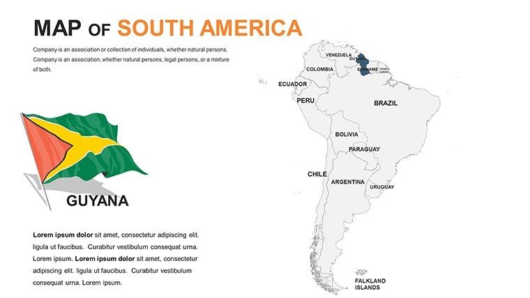
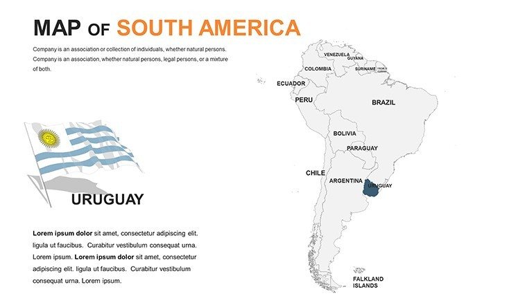
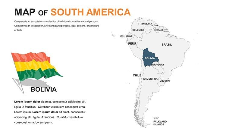
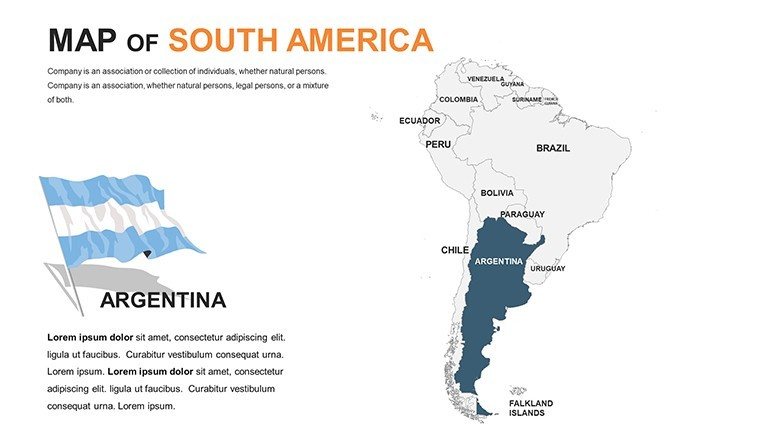
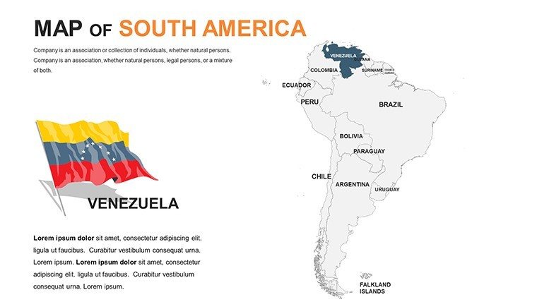
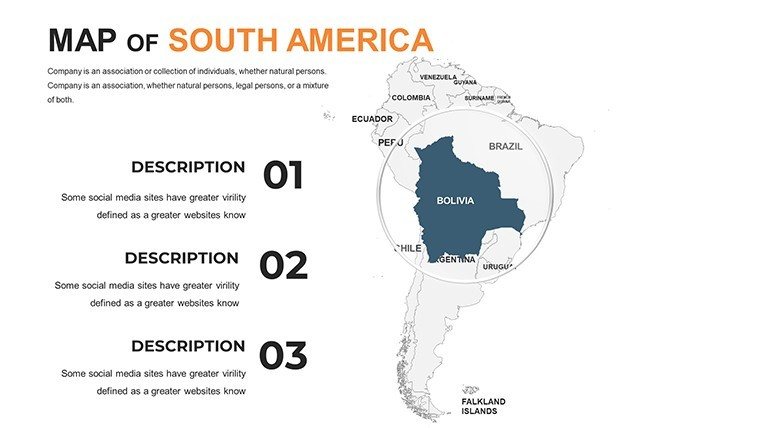
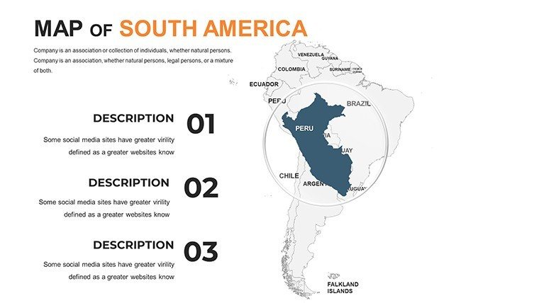
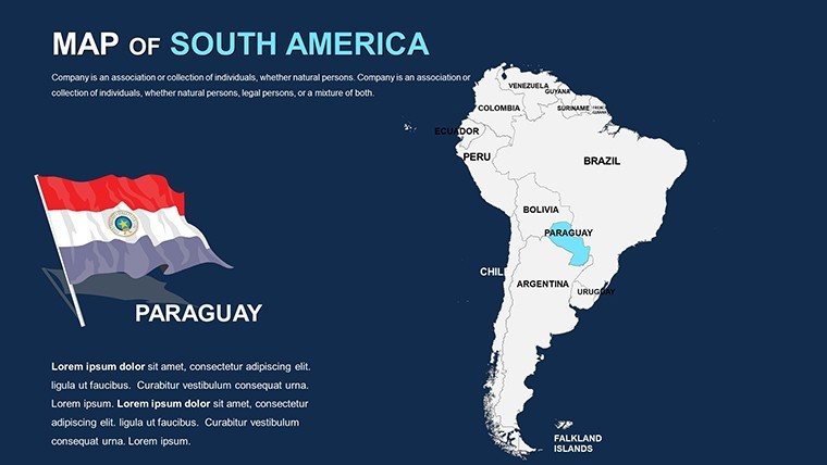
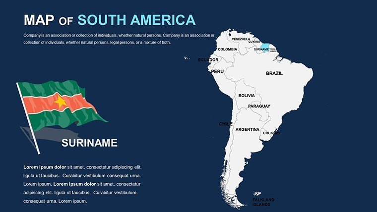
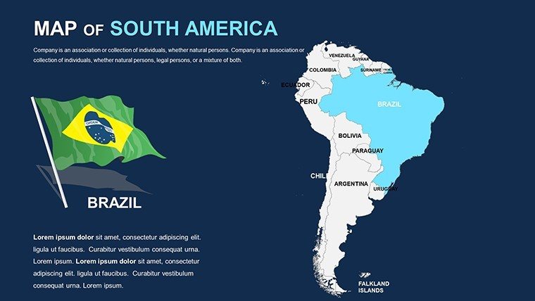
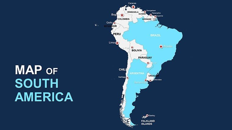
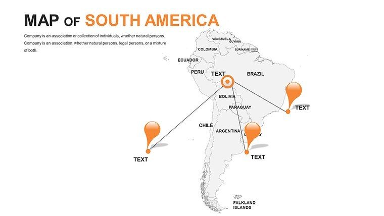
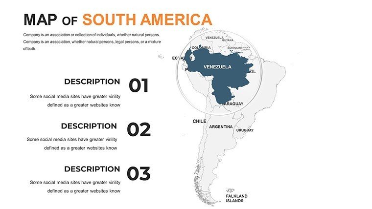
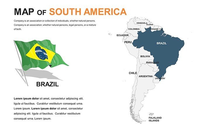
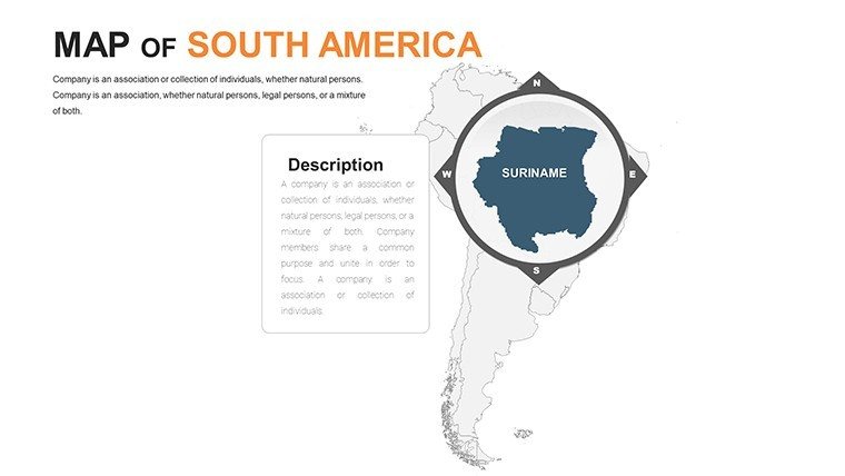
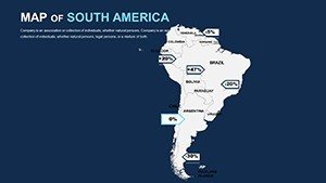
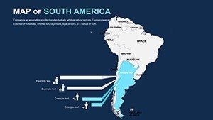
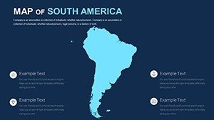
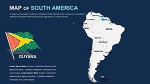
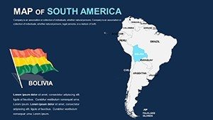
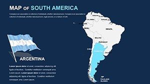
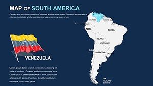
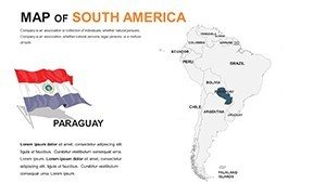
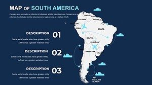
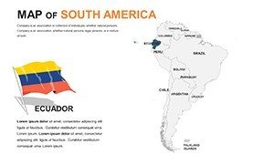
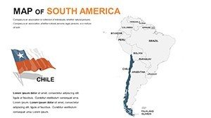
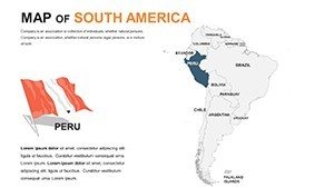
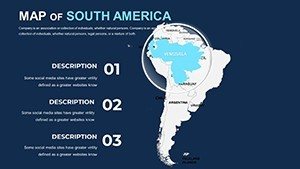
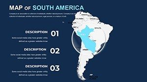
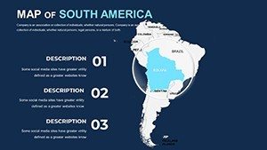
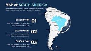
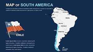
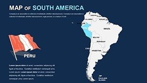
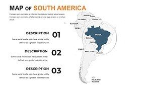
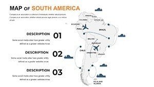
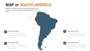
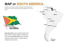
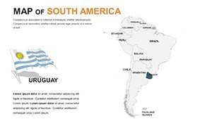
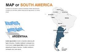
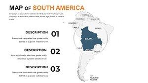
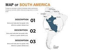
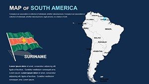
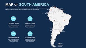
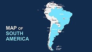
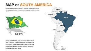
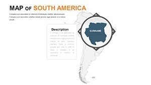
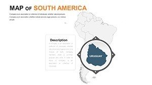
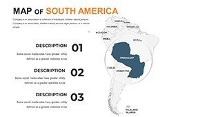
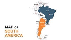
Beyond basic outlines, it offers layered intelligence: Crisp delineations of 12 sovereign states, from Brazil's rainforest heart to Chile's Atacama expanse, all ripe for personalization. Fully attuned to PowerPoint ecosystems (.ppt/.pptx) and Google Slides, it facilitates hybrid workflows. Infuse a pan-continental dashboard with bubble charts sizing urban growth, or sectionalize the Amazon Basin with flow arrows depicting carbon cycles. Echoing methodologies from the Inter-American Development Bank's spatial analyses, these assets arm you to convey scale and subtlety in arenas from Rio boardrooms to virtual symposia.
Navigating Customization: Tools for Territorial Tales
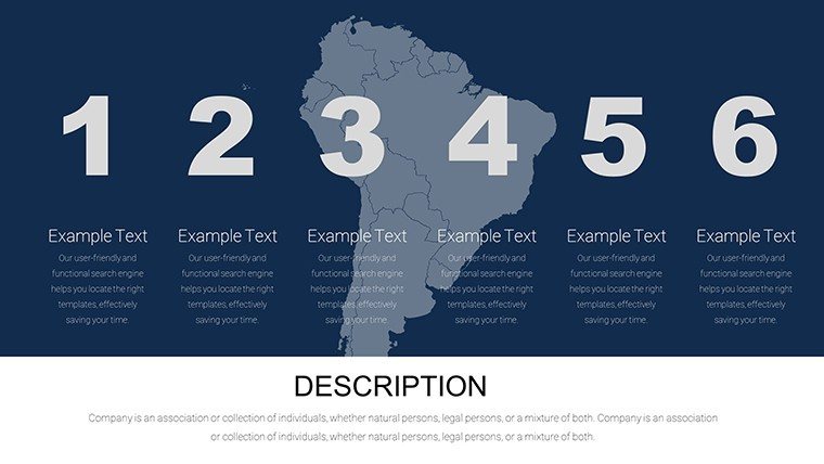
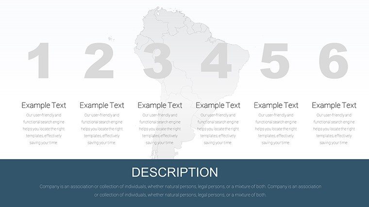
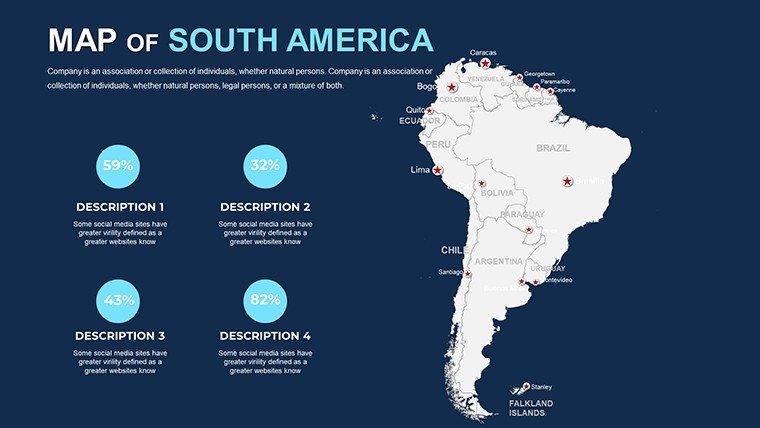
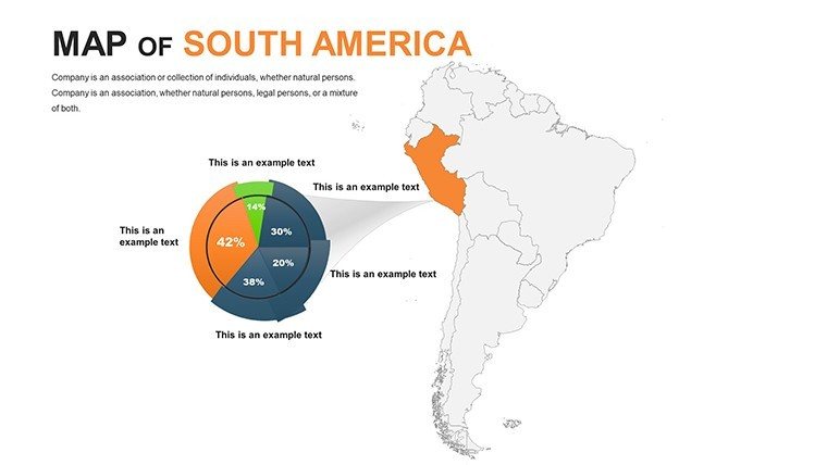
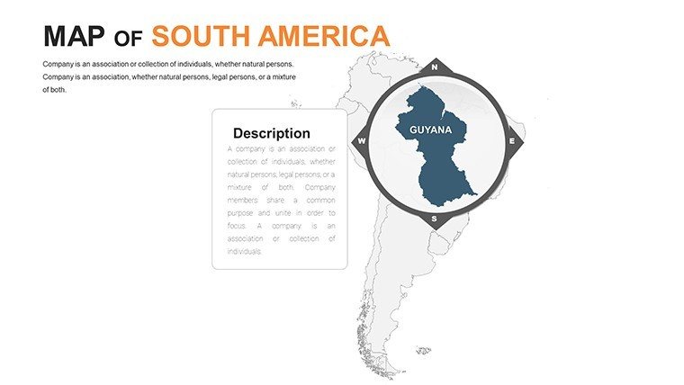
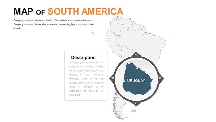
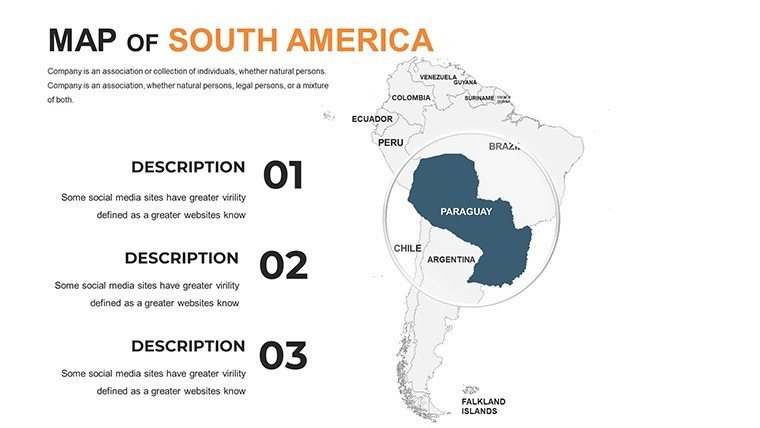
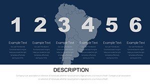
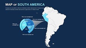
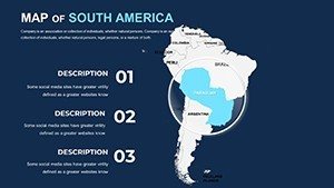
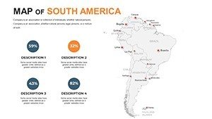
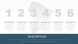
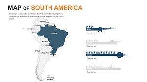
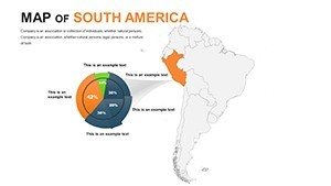
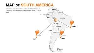
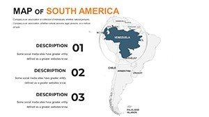
Core to its appeal are 15 foundational layouts - political mosaics, hypsometric tints, and sectoral vignettes - each a canvas for your ingenuity. Recolor Uruguay's pampas in harvest golds or excise peripherals to focalize the Caribbean coast. The icon trove? 250+ motifs, spanning Incan motifs to biofuel symbols, infusing cultural depth.
- Flawless Fidelity: Vectors that endure magnification, from thumbnail previews to billboard exports.
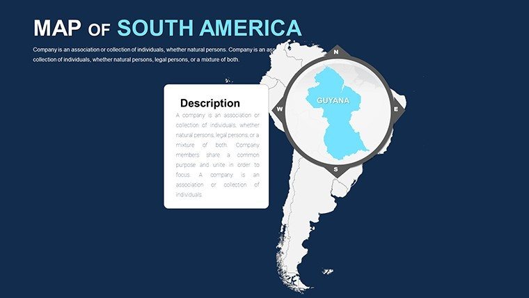
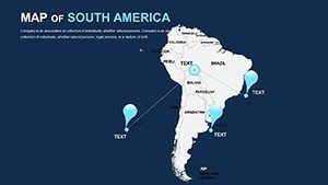
- Interlinked Intelligence: Click-through hierarchies from macro to micro, unveiling state-level granularities.
- Adaptive Aesthetics: Palettes that morph with slide masters, enforcing unity across decks.
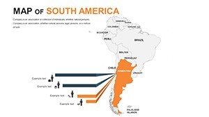
Hands-on tailoring: Fire up the template, alight on the "South American Trade Flows" frame, palette-shift via gradient tools for disparity highlights, then slot radial diagrams for export hubs. Collaborative? Cloud syncing preserves fidelity. Mirroring tactics in WWF's Amazon monitoring decks, it's the backbone for narratives that mobilize.
Applied Visions: Scenarios That Span the Equator
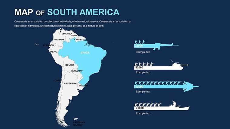
For corporate raiders, gradient-map commodity booms in Venezuela's oil fields, sequencing booms to busts for risk narratives. Pedagogy pros animate Galápagos evolutions over evolutionary timelines, splicing Darwin quotes. Consultants akin to those at McKinsey layer seismic data on tectonic slides for hazard assessments.
Case in point: A Bogotá firm leveraged this for a green bond prospectus, tinting reforestation zones over satellite basemaps - netting $50M in eco-investments via evocative clarity. Heritage guides plot Silk Road analogs along Inca trails, hyperlink-rich for immersive dives. Grounded in cartographic canons from the American Geographical Society, these uses forge connections that endure.
Eclipsing Everyday Cartography
Surpass screenshot drudgery - our assets render nimbly, edit fluidly, sans format frictions. Snap grids and auto-aligns vanquish offsets, while contrast optimizers secure inclusivity. It's the polish that elevates amateurs to adepts.
Workflow wizardry: Fuse with ArcGIS snippets for geospatial syncs, or macro automate legend gens. Vetted by pros at Esri for expedition-grade utility.
Elite Edits: Elevate Your Execution
- Stratify Smartly: Base with silhouettes, accrue textures like fjords in phased builds.
- Legendry Logic: Render them navigational - tappable for variant exposures.
- Density Discipline: Limit overlays to essentials; offload to tooltips for elaboration.
- Engage Dynamically: Script entrances for cascading reveals, like unveiling volcanic arcs in waves.
Chart new horizons - Acquire the South America PowerPoint Maps template forthwith and let continental currents carry your discourse to peaks untold. From summits to screens, redefine revelation.
Frequently Asked Questions
Are shapes fully resizable without quality loss?
Precisely - vector construction guarantees integrity across zooms and outputs.
Can external datasets be embedded?
Seamlessly - hook JSON feeds or OLE objects for evolving exhibits like migration stats.
What's geared for sustainability pros?
Integrated carbon footprint calculators and habitat metrics slides for green advocacy.
Supports regional dialects?
Text fields accommodate accents and scripts from Quechua to Portuguese variants.
Performance with voluminous visuals?
Chunked architecture sustains zip, handling 500+ nodes without lag.