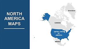
Our map of North America PowerPoint templates deliver accurate, visually compelling representations for your slides. Perfect for dissecting continental dynamics in business reviews or geography classes, they simplify the art of spatial communication.
Geared toward analysts, instructors, and planners, these templates let you tweak every element - from coastlines to capitals - for tailored narratives. Infuse your presentations with reliability and flair.
Vector precision guarantees flawless rendering, supporting detailed annotations without pixelation. Make geography your ally in captivating audiences.
Peruse our map of North America options in PowerPoint and launch your project with a strong visual foundation. Download today.

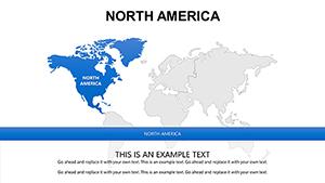

A detailed map of North America anchors presentations on topics from biodiversity to bilateral trade. Our templates feature intricate line work for borders and relief shading for terrain, outpacing simplistic defaults with ready sophistication.
Consultants plot investment hotspots, while tour operators trace heritage trails. This specificity transforms generic slides into authoritative pieces.
Energy sector pros map resource extractions, from oil fields to wind farms, informing strategic dialogues. In media, visualize news events spanning the continent, enhancing story depth.
Researchers overlay demographic shifts, revealing patterns that spur insightful debates. Over stock images, these templates offer enduring utility.
These guidelines craft maps that inform and inspire.
Integrate the map of North America with timelines for evolutionary overviews, like continental drift simplified. Philanthropies chart impact zones, quantifying outreach visually.
Tech firms embed QR codes on regions, linking to demos. Such innovations keep presentations fresh.
Intrigued? View map of North America PowerPoint templates and download to refine your approach.
Combine with flowcharts for migration studies, weaving data into geographic fabric. Event coordinators map venues, streamlining planning visuals.
For cultural festivals, highlight diverse heritages, celebrating unity in diversity. These extensions broaden appeal.
Empower your visuals today. Acquire the map of North America in PowerPoint and present with authority.
Copyright © 2009-2026 ImagineLayout All rights reserved.