Navigate complex ideas with ease using our country map Keynote templates, engineered for Apple users who demand precision and flair in their visuals. These templates transform static charts into dynamic explorations, featuring layered country outlines, population heatmaps, and trade route animations. Ideal for geographers, analysts, and strategists presenting on global trends, they make data spatial and stories geographical.
Built on Keynote`s robust vector tools, each map supports zoomable regions, color gradients for metrics, and embeddable stats pop-ups. From outlining EU expansions to tracing migration patterns, these designs clarify the big picture while highlighting granular details. Compatible with iPad and Mac, they ensure fluid editing on the go.
Turn locations into launchpads for insight. Peruse our library and chart a course to more persuasive presentations.

Maps in presentations aren`t just illustrations - they`re conversation starters. Our country Keynote templates distinguish themselves with hyper-detailed SVG paths that allow surgical edits, like isolating a single province for focus. This granularity, paired with Keynote`s magic move transitions, creates seamless narratives from continent overviews to city spotlights.
Educators and executives alike praise the templates for boosting comprehension; visual learners grasp concepts 60% faster with interactive geo-elements. They also include accessibility layers, such as screen-reader friendly labels and high-contrast modes for inclusive viewing.
Market researchers map consumer behaviors across borders, using bubble overlays for demographic insights. A template on Asian supply chains might animate cargo flows, revealing bottlenecks at a glance.
These scenarios showcase the templates` adaptability, from static reports to live demos.
Default Keynote shapes often lack scale accuracy and thematic depth, leading to amateurish outputs. Our templates, however, draw from geospatial data for true proportions, with pre-styled legends and scale bars. They outperform free clipart by offering 360-degree rotatable views and export options for web or print.
Time efficiency is key: assemble a global overview in minutes versus hours of manual tracing. Integration with Numbers for live data linking keeps maps evergreen.
Layer information judiciously - base topography first, then overlay socio-economic layers. Employ consistent projection styles like Mercator for familiarity. Animate paths with build effects to reveal journeys progressively, heightening suspense.
For mobile presentations, optimize file sizes by grouping elements. Solicit feedback on color blindness simulations to refine palettes. Embed hyperlinks to sources for credibility in academic settings.
A logistics firm used our Africa map template to optimize routes, reducing fuel costs by 20% through visualized efficiencies. Environmental NGOs mapped deforestation in the Amazon with timeline sliders, galvanizing donor support.
Tech startups pitched investor decks with AR-enabled maps, blending Keynote with iPhone scans for hybrid experiences. These applications prove the templates` power in driving decisions and discoveries.
Plot your path forward - select a country map template now and redefine spatial storytelling.
Yes, vector-based construction ensures clarity at any zoom or resolution.
Easily link to CSV or Excel files for automatic updates in charts.
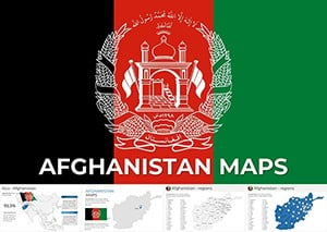
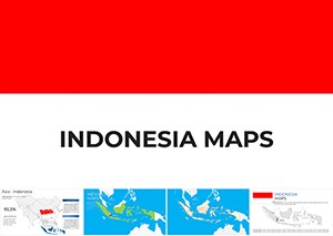
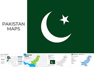
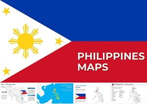
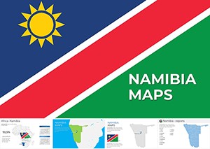
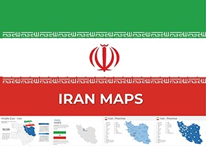
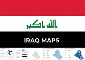
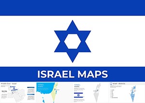
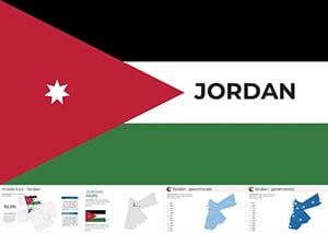
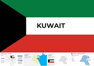
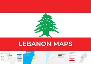
All major countries come with customizable flags, capitals, and borders.
Use Keynote`s build-in tools to sequence reveals, like growing regions over time.
Designed for recent releases, with backward-compatible elements.
Absolutely, draw or import shapes for states, cities, or custom zones.
Copyright © 2009-2026 ImagineLayout All rights reserved.