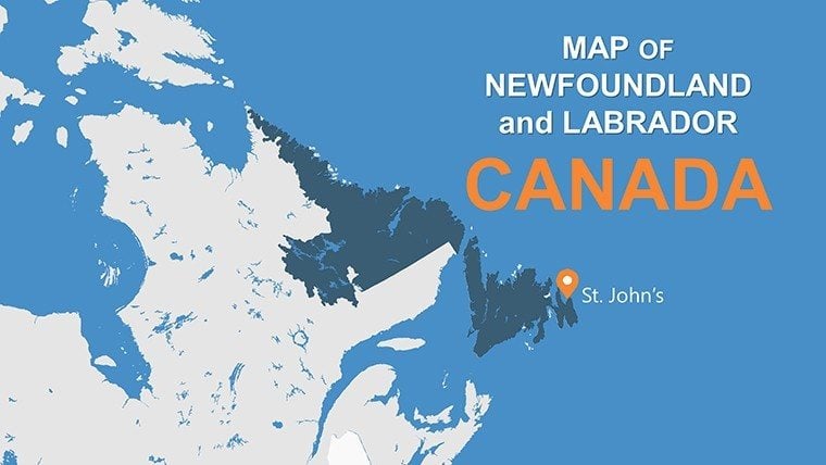
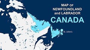
Newfoundland and Labrador PowerPoint Maps: Coastal Design Inspiration


Type: PowerPoint Maps template
Category: North America
Sources Available: .pptx
Product ID: PM00128
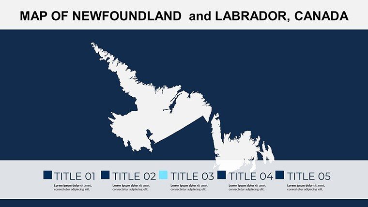
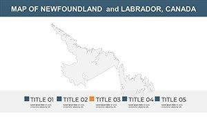
Template incl.: 12 editable slides
Envision your architectural visions set against the dramatic fjords and icebergs of Newfoundland and Labrador - this template makes it reality with 12 editable slides that fuse high-fidelity maps with insightful infographics. Perfect for landscape architects, heritage specialists, and regional developers, it spotlights the province's unique terrain, from St. John's historic battery to Labrador's vast taiga, enabling presentations that celebrate cultural depth alongside practical planning.
Rooted in accurate depictions compliant with Canadian geospatial standards, these slides facilitate everything from tourism masterplans to indigenous land acknowledgments, echoing AIA principles of culturally sensitive design. Customize effortlessly: Reshape coastlines for erosion modeling or embed economic graphs to argue for harbor expansions, all while maintaining a cohesive, professional aesthetic that impresses juries and clients. In a world where 80% of design decisions stem from spatial understanding (as per RIBA insights), this tool arms you with visuals that clarify complexities, turning potential obstacles into highlighted opportunities.
Essential Features for Provincial Precision
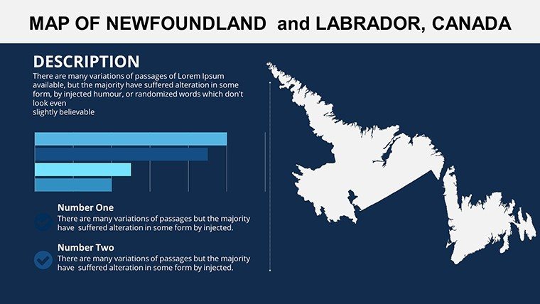
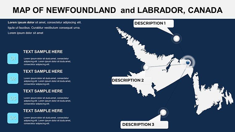
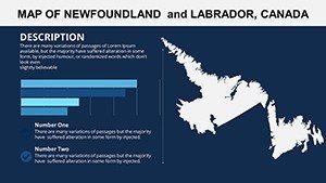
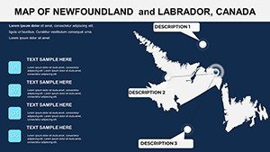
Developed with feedback from Canadian architects who've tackled projects like the revitalization of Signal Hill, this template prioritizes usability without sacrificing detail. Key slides include overview maps of the island and mainland, zoomed insets for key cities like Corner Brook, and diagram-rich layouts for historical timelines.
- Detailed Terrain Mapping: Vector-based outlines capture nuances like the Avalon Peninsula's folds, editable for overlaying wind patterns in sustainable energy proposals.
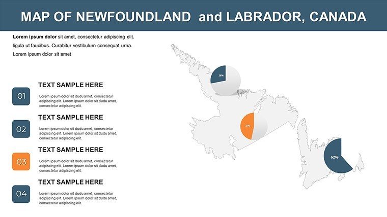
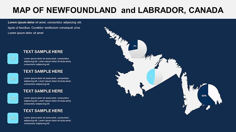
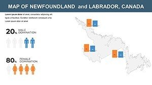
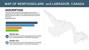
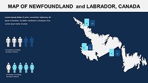
- Infographic Integration: Built-in charts for population densities or resource distributions, seamlessly blending with maps for holistic views on urban sprawl.
- Style Customization: Match your firm's vibe with adjustable themes - icy blues for Labrador winters or vibrant accents for cultural festivals.
- SEO-Ready Assets: Thumbnails with alts like "Newfoundland map infographic for heritage architecture" to enhance your online showcase.
The compact 12-slide format encourages focused decks, yet each is infinitely adaptable, allowing insertions for project-specific data without bloating file sizes. This efficiency has proven invaluable in fast-paced firm environments, where time is as precious as the province's fisheries.
Targeted Applications in Architectural Practice
Cultural and Heritage Preservation
For restoring lighthouses in Twillingate, slide 5's monument mapper lets you trace historical routes, pairing with timelines to narrate preservation strategies. Drawing from successes like the UNESCO-listed Gros Morne, this approach has helped secure grants by visually linking past to future uses.
- Layer cultural sites with interactive hotspots for deeper dives during Q&A.
- Color-code eras to illustrate adaptive reuse potentials, aligning with heritage board requirements.
- Output to interactive PDFs for virtual tours, extending engagement post-presentation.
Economic Development and Infrastructure
Pitch a trans-provincial rail link using connectivity maps on slide 9, integrating GDP visuals to forecast impacts. Comparable to the Muskrat Falls project analyses, where mapped logistics swayed investors, emphasizing economic viability through clear geospatial storytelling.
Outshining basic templates: Free options lack the integrated infographics that make data pop, often resulting in disjointed narratives. This one's PowerPoint-native design supports direct Revit links, facilitating model-to-map transitions for immersive proposals.
Tourism and Eco-Tourism Designs
Design eco-lodges near Terra Nova by highlighting trail networks on terrain slides, advocating low-impact footprints. Tip: Animate reveals to simulate seasonal changes, captivating audiences as in award-winning Newfoundland trail systems.
Streamline your process with grouped elements for bulk edits, and link to external resources like provincial GIS portals for enriched data. For team synergy, the format's universality ensures smooth handoffs from drafters to presenters.
Design Tips to Amplify Your Presentations
Incorporate subtle textures mimicking rocky outcrops for tactile appeal, a nod to sensory design trends. Validate maps against official sources for trustworthiness, and use bullet summaries beside visuals to reinforce key takeaways. This template doesn't just map land - it charts paths to innovative architecture.
Embark on your Newfoundland and Labrador journey - secure this PowerPoint Maps template immediately and let the province's spirit fuel your creative fire.
Frequently Asked Questions
Are the maps in this template high-resolution?
Yes, all vectors ensure scalability without pixelation, suitable for large-format prints or detailed on-screen zooms in architectural reviews.
Can I add my company logo to the slides?
Certainly - each slide has dedicated areas for branding, with easy resizing to maintain balance across map and infographic elements.
What presentation software is supported?
Optimized for Microsoft PowerPoint, with compatibility for Keynote via export, covering most professional workflows.
How useful is this for educational architecture seminars?
Extremely - infographics aid in teaching terrain's role in design, as used in university courses on Canadian regionalism.
Does it cover both Newfoundland and Labrador fully?
Affirmative, with balanced slides for island coasts and mainland interiors, plus connectors for provincial unity.