Continents World Map PPT Template: Download Now


Type: PowerPoint Maps template
Category: World
Sources Available: .jpg, .pptx
Product ID: PM00088
Template incl.: 14 editable slides
Think of a presentation where each continent unfolds like a chapter in a global epic, revealing insights that connect distant shores. Our World Map PowerPoint Template with Continents achieves this, providing 14 editable slides for professionals eager to showcase worldwide perspectives. Perfect for business leaders plotting expansions, educators teaching planetary diversity, researchers charting trends, or nonprofits highlighting initiatives, this template blends detail with usability. Modeled after effective visuals in UN reports on sustainable development, it empowers you to create narratives that span Africa’s savannas to Antarctica’s ice - though focused on major continents. With animations for continent reveals, it's designed to engage, inform, and leave a lasting impression.
Core Features Enhancing Global Narratives
Standout elements include high-definition maps of each continent, customizable for branding or thematic emphasis. Add labels for key cities, overlay climate data with graphs, or use icons for biodiversity hotspots. The professional layout ensures a sleek appearance, compatible with major software, echoing designs praised by the International Cartographic Association for clarity and appeal.
Slide-by-Slide Exploration
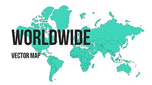
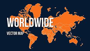
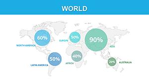
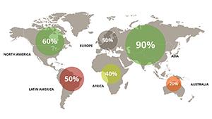
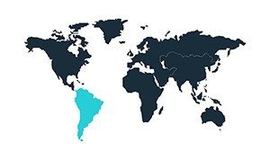
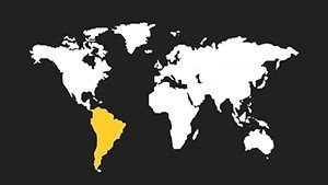
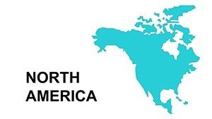
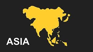
- Slide 1-2: Global Overview - Full world maps with continent highlights, ideal for introductions.
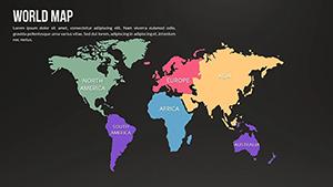
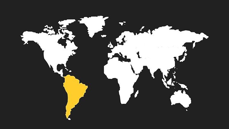
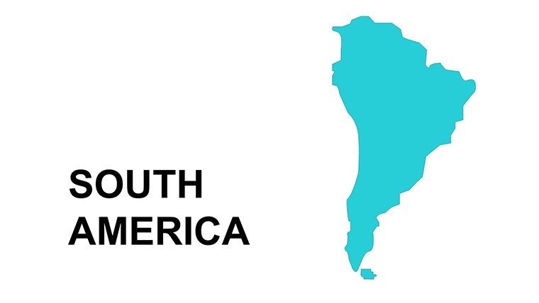
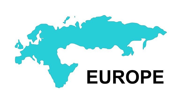
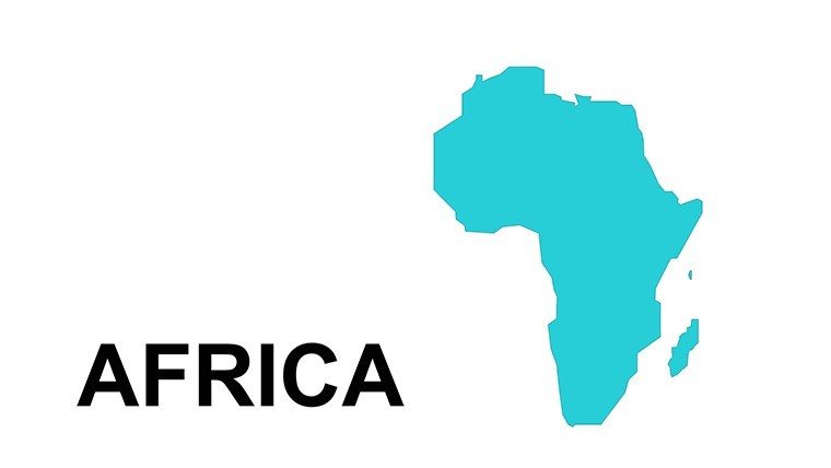
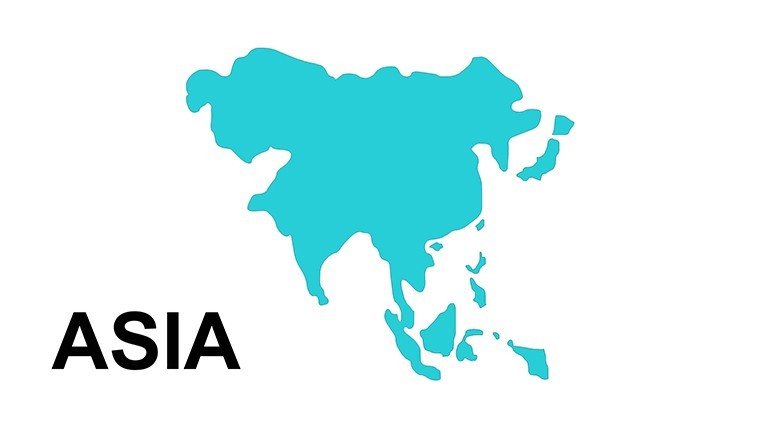
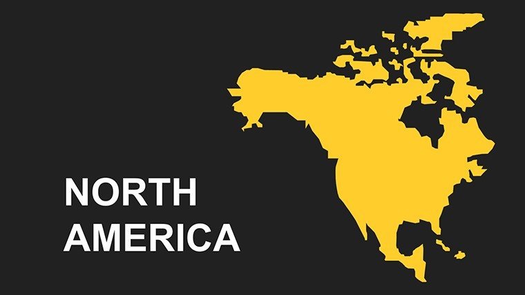
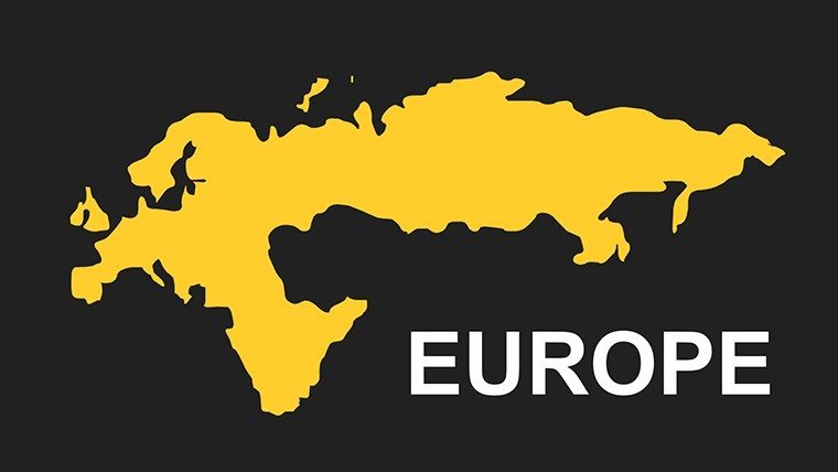
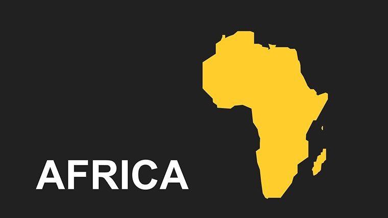
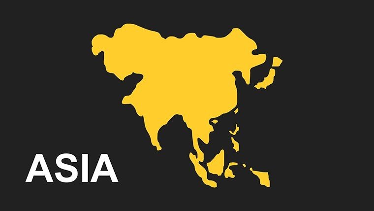
- Slide 3-8: Continent-Specific - Dedicated slides for Asia, Africa, Europe, North/South America, Australia - editable animations included.
- Slide 9-11: Data Layers - Graphs for comparisons, like population vs. GDP per continent.
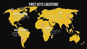
- Slide 12-13: Infographic Tools - Timelines and icons for historical or future projections.
- Slide 14: Custom Base - Blank for personalized content.
Scalable vectors maintain quality across formats.
Broad Applications and Tangible Benefits
From corporate strategies visualizing transcontinental trade to educational modules on plate tectonics, this template adapts fluidly. Nonprofits can map aid distributions, akin to strategies by organizations like Doctors Without Borders, amplifying impact. Researchers might illustrate migration patterns, supporting findings in journals like Nature. Benefits include quick customization, reducing design time by half, and built-in professionalism that bolsters credibility. Its compatibility ensures smooth workflows in diverse teams.
Strategic Usage Tips
- Define scope: Select continents relevant to your topic for focused delivery.
- Animate thoughtfully: Use reveals to pace information flow.
- Integrate stories: Link maps to real events, like Olympic host continents.
- Ensure inclusivity: Add alt texts for accessibility.
- Refresh visuals: Update with latest data for timeliness.
These elevate your expertise showcase.
Edge Over Basic Templates
Generic tools offer flat maps; this provides animated, detailed continent views for superior engagement. Affordable yet premium, it's favored for its balance of features and ease.
Step into a world of better presentations - download this template and continent-hop your way to success.
Frequently Asked Questions
- How detailed are the continent maps?
- High-definition with editable features for cities and terrains.
- Does it include animations?
- Yes, for continent reveals and transitions.
- Is it compatible with Keynote?
- Yes, works across major platforms.
- What sectors does it suit?
- Business, education, research, nonprofits.
- Can I customize colors?
- Fully, to match branding.