Political World PowerPoint Maps Template: Global Geopolitics at Your Fingertips


Type: PowerPoint Maps template
Category: World
Sources Available: .pptx
Product ID: PM00086
Template incl.: 20 editable slides
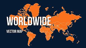
In an interconnected world, understanding political landscapes is key to strategic success. Our Political World PowerPoint Maps Template delivers over 20 editable slides that pinpoint borders, capitals, and alliances with pinpoint accuracy. Ideal for international relations experts, corporate executives, and academic researchers, this PPTX file integrates seamlessly with PowerPoint and Google Slides, enabling you to craft presentations that dissect global dynamics - from trade wars to diplomatic summits.
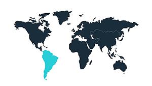
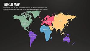
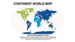
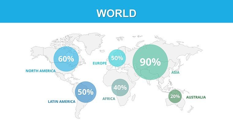
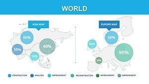
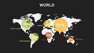
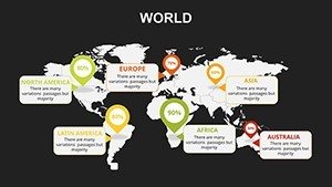
Forget outdated atlases; our template leverages current UN-recognized boundaries, ensuring your visuals are as reliable as a State Department briefing. With high-res continental breakdowns (Asia, Africa, Europe, etc.) and thematic overlays for elections or alliances, you'll convey complex ideas simply. Customize to spotlight hotspots like the South China Sea or Arctic routes, making your slides not just informative but influential.
Premier Features for Authoritative Global Mapping
Crafted with geopolitical precision, each slide features layered vectors for easy manipulation, supporting annotations for conflicts or economic zones. The design prioritizes clarity, using neutral palettes that adapt to your theme.
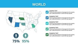
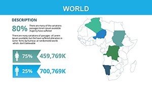
- Precise Political Borders: Updated to 2025 standards, covering 195 countries and disputed territories like Taiwan.
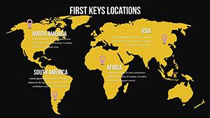
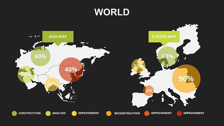
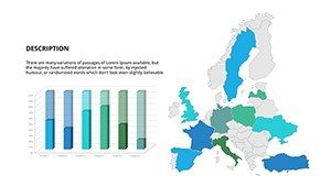
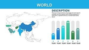
- Multi-Scale Views: From world overviews to zoomed regional maps, e.g., Middle East alliances or Latin American blocs.
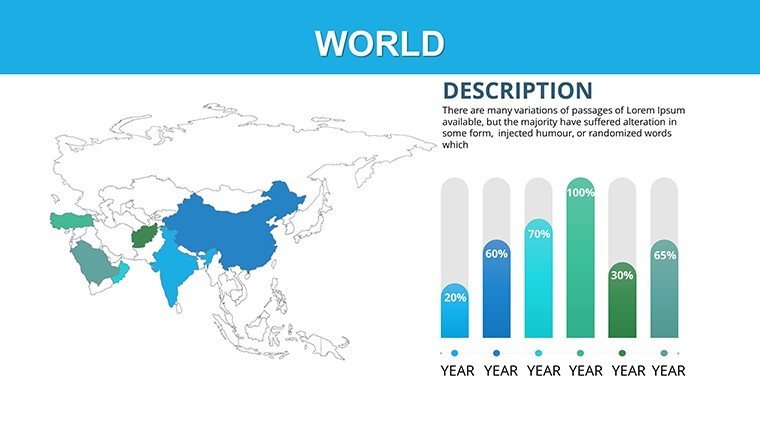
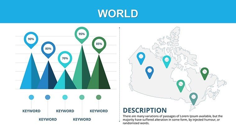
- Data Integration Tools: Embed bar graphs for GDP comparisons or flow charts for migration patterns.
- Animation-Ready: Sequence reveals for building narratives, like NATO expansions over time.
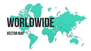
- Cross-Platform Export: PPTX core with PNG/PDF outputs for versatile sharing.
Surpassing free online maps in detail and editability, this template aligns with think-tank standards, like those from the Council on Foreign Relations, for credible discourse.
Diverse Applications: Navigating International Scenarios
Corporate leaders mapping supply chains? Overlay tariffs on a Eurasian map, animating disruptions from Ukraine to highlight risks. A case in point: A multinational firm used similar templates to brief on Belt and Road Initiative impacts, securing investor buy-in.
Educational and Research Insights
- Load a base world slide.
- Label alliances like EU or BRICS with color codes.
- Insert timelines for events, e.g., post-WWII decolonization.
- Quiz interactively with hidden layers.
Researchers analyzing climate pacts can layer Paris Agreement signatories, fostering discussions on global equity.
Policy and Media Briefings
Government analysts visualize aid distributions in Africa, using heat maps for efficacy. Media outlets chart election results worldwide, turning data into digestible stories that captivate viewers.
Workflow tip: Pair with Excel for live data pulls, updating slides in real-time during conferences. For architecture ties, map urban megaprojects like Dubai's expansions against global contexts.
Customization Mastery: From Novice to Expert
Begin by selecting a continental slide, then use PowerPoint's selection pane to isolate elements like borders. Pro hacks: Apply gradients for conflict zones or embed hyperlinks to sources for credibility. Ensure mobile compatibility by testing exports.
Storytell effectively - narrate how the Iron Curtain's legacy shapes today's Europe, using fades to transition eras. With free updates for border changes, your investment stays relevant.
Empower your global narrative - secure the Political World PowerPoint Maps Template today and lead with authority.
FAQ
Does it include the latest border updates?
Yes, maps reflect 2025 geopolitics, with complimentary revisions.
Compatibility with other software?
Fully supports Google Slides and Keynote, plus export formats.
Free sample available?
Download a sample world map to test editability.
Commercial use permitted?
Yes, licensed for professional and published works.
How to add custom annotations?
Use text boxes and shapes for labels, arrows for routes.