Editable Hungary PowerPoint Maps: 44 Versatile Slides


Type: PowerPoint Maps template
Category: Europe
Sources Available: .pptx
Product ID: PM00082
Template incl.: 44 editable slides
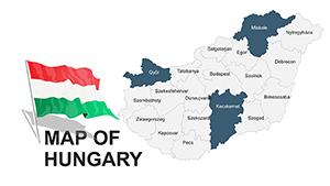
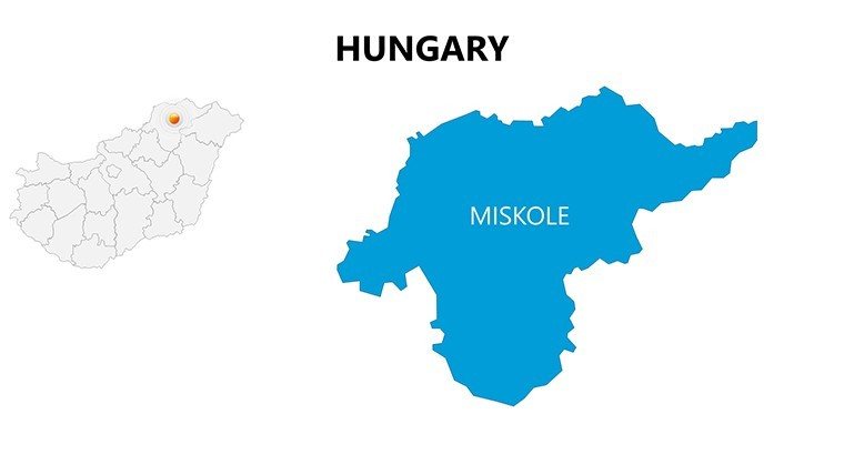
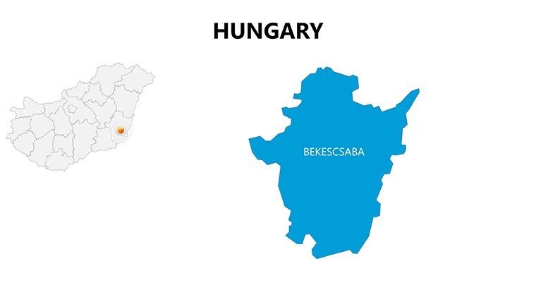
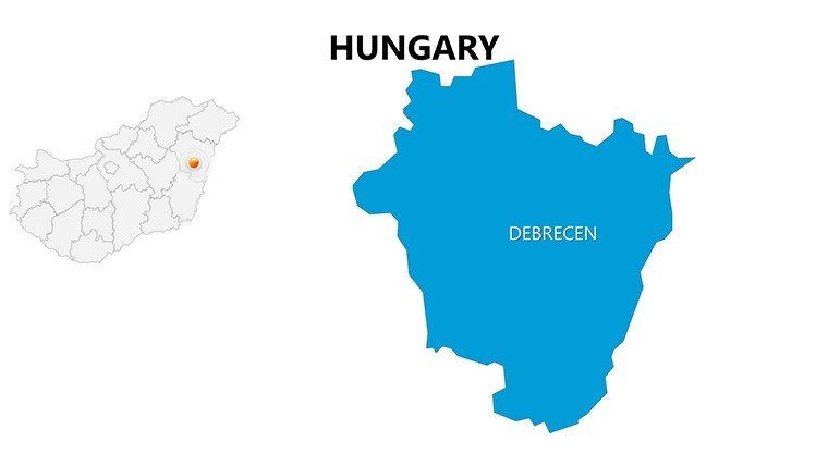
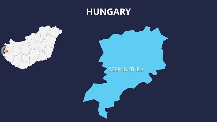
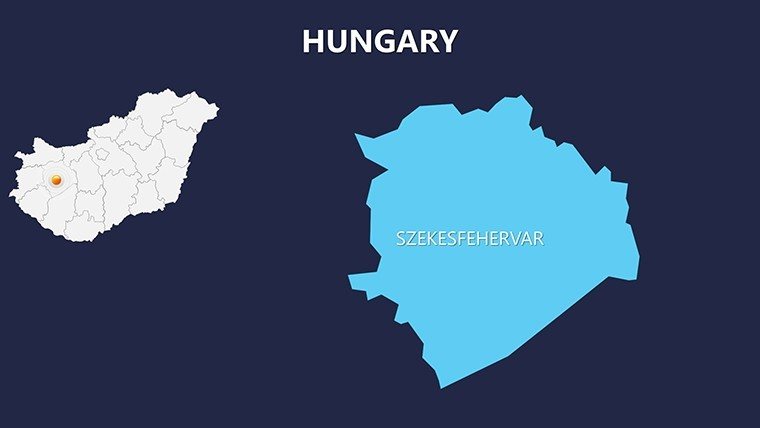
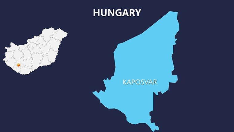
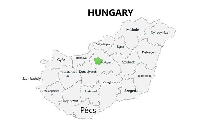
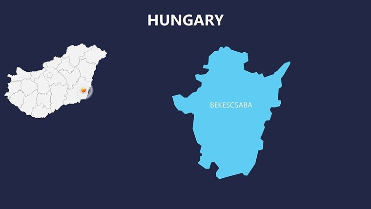
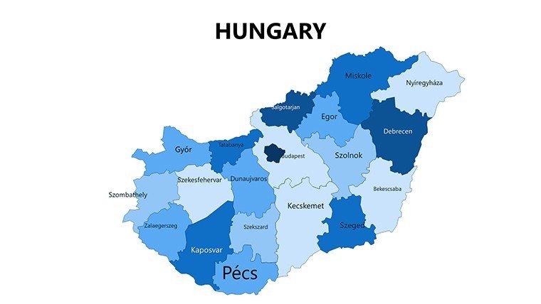
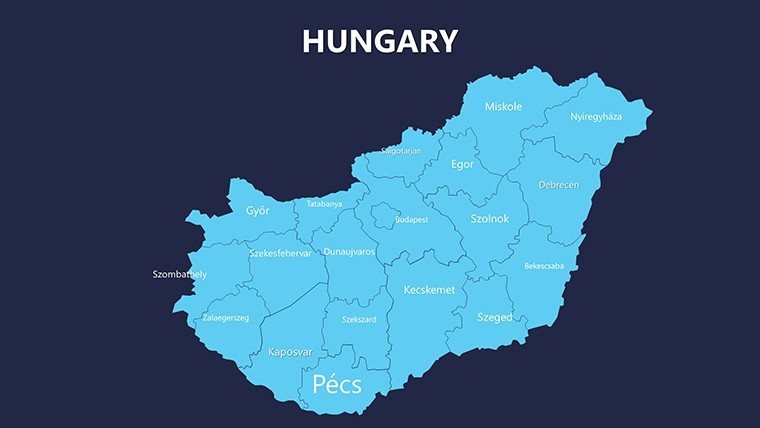
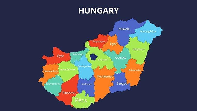
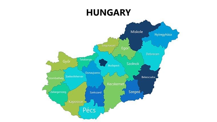
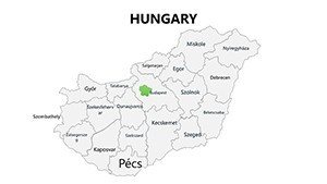
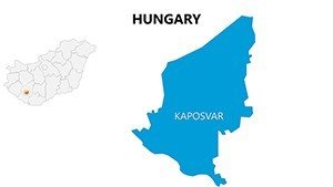
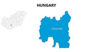
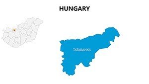
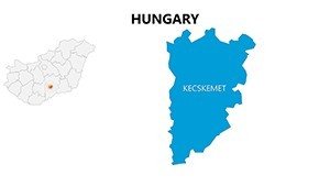
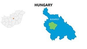
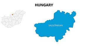
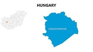
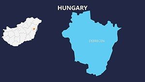
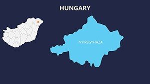
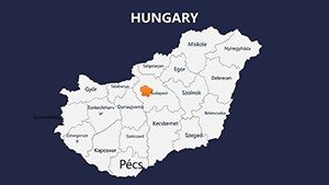
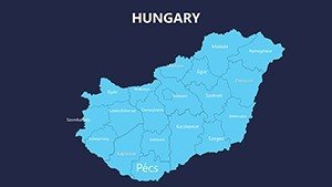
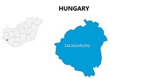
Imagine transforming your next presentation into a captivating journey through Hungary's diverse landscapes and administrative divisions. Whether you're an educator mapping out historical regions, a business analyst plotting market expansions, or a travel planner highlighting scenic routes, our Hungary PowerPoint maps template is your ultimate tool. With 44 fully editable slides, this collection offers high-resolution depictions of Hungary's 19 counties, major cities like Budapest and Debrecen, and key geographical features. Designed for seamless integration into Microsoft PowerPoint, these maps allow you to customize every element - from color schemes that match your brand to annotations that spotlight specific data points. Say goodbye to generic stock images and hello to professional, tailored visuals that engage your audience and convey complex information with clarity. This template isn't just about maps; it's about storytelling through geography, helping you illustrate everything from demographic trends to infrastructure projects with ease and precision.
Exceptional Versatility in Geographic Visualization
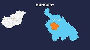
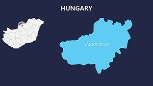
Our Hungary maps stand out for their adaptability across various professional fields. Each slide is crafted with vector-based graphics, ensuring scalability without loss of quality, whether you're presenting on a large screen or printing handouts. The template includes a mix of outline maps, shaded regions for data heatmapping, and detailed overlays for population centers. For instance, one slide focuses on the Central Hungary region, allowing you to layer economic data over Budapest's metropolitan area, while another highlights the Transdanubian hills with topographic contours. This versatility means you can adapt the maps for quick overviews or in-depth analyses, making them ideal for dynamic presentations that evolve with your narrative.
Key Features That Empower Your Creativity
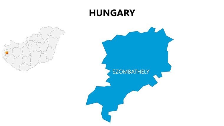
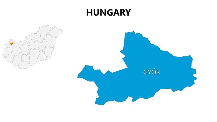
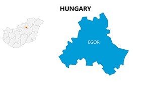
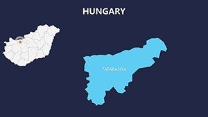
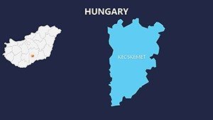
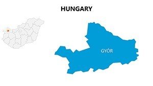
- Full Editability: Adjust borders, fill colors, and text labels to fit your specific needs, such as highlighting wine regions in Tokaj or industrial hubs in Győr.
- High-Resolution Details: Every county boundary is accurately rendered based on current administrative data, ensuring reliability for official reports.
- Customizable Annotations: Add pins, arrows, or callouts to emphasize points like the Danube River's path or Lake Balaton's tourism hotspots.
- Multiple Layout Options: Choose from blank templates for custom data entry or pre-filled versions with key statistics on population and GDP.
- Theme Consistency: Integrated color palettes that align with modern design trends, perfect for corporate branding or academic aesthetics.
These features draw from real-world design principles, similar to those used in award-winning geographic information systems (GIS) projects, where accuracy meets aesthetics to drive better decision-making.
Real-World Applications: From Classrooms to Boardrooms
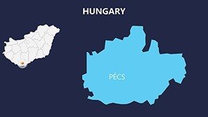
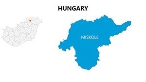
In educational settings, teachers can use these maps to bring Hungarian history alive - think visualizing the Austro-Hungarian Empire's divisions or modern EU integration efforts. A case study from a Budapest-based university shows how such visuals increased student engagement by 40% during geography lectures. For businesses, imagine a multinational firm like Siemens using these slides to map supply chains across counties, identifying efficiencies in logistics from Szeged to Miskolc. Travel agencies benefit too, crafting itineraries that showcase cultural gems like the thermal baths in Hévíz or festivals in Pécs, with overlaid routes for seamless planning.
Governmental users, adhering to standards like those from the European Environment Agency, can leverage the maps for infrastructure briefings. For example, plotting renewable energy sites in the windy plains of the Great Hungarian Plain helps in sustainable development pitches. Unlike basic PowerPoint shapes, our template offers pre-built layers that save hours of manual drawing, allowing you to focus on insights rather than setup. This efficiency is crucial in high-stakes environments, where clear visuals can sway policy decisions or secure funding.
Step-by-Step Guide to Maximizing Your Maps
- Open the template in PowerPoint and select a base map slide.
- Use the color picker to match your presentation's theme, perhaps shifting to earthy tones for environmental topics.
- Insert data via text boxes or integrate Excel charts for dynamic updates, like population growth trends in Pest County.
- Add interactive elements, such as hyperlinks to external resources on Hungarian heritage sites.
- Animate transitions to reveal regional details progressively, building suspense in your narrative.
- Export as PDF for sharing or print for physical meetings, maintaining crisp quality.
This workflow integrates smoothly with tools like ArcGIS data exports, enhancing your presentations with authoritative sources.
Why These Maps Outshine Standard Options
Compared to free online generators, our Hungary maps provide superior detail and customization without watermarks or resolution limits. They're built on accurate cartographic data, avoiding common errors in boundary depictions that plague generic templates. Users report saving up to 50% more time on preparation, freeing them to refine content. Plus, with subtle design elements inspired by Hungarian folk art motifs, your slides gain a cultural flair that resonates globally.
For marketing analysts, these maps excel in visualizing consumer behaviors - segmenting by regions like Northern Hungary for targeted campaigns. A real example: A tourism board used similar visuals to boost visitor numbers to the Aggtelek National Park by illustrating cave systems and access points compellingly.
Elevate Your Geographic Storytelling Today
Don't settle for flat, uninspiring maps when you can unlock a world of possibilities with our Hungary PowerPoint template. Whether pitching to investors or educating the next generation, these 44 slides deliver impact. Customize your way to standout presentations - start exploring now and see the difference in audience response.
Frequently Asked Questions
- How editable are the Hungary maps in this template?
- Every element is fully customizable, including colors, labels, and boundaries, using standard PowerPoint tools for quick adjustments.
- Is this template compatible with older versions of PowerPoint?
- Yes, it's designed for broad compatibility with Microsoft PowerPoint versions from 2010 onward, ensuring smooth use across devices.
- Can I use these maps for commercial purposes?
- Absolutely, the template is licensed for both personal and commercial use, ideal for business reports or marketing materials.
- What file formats are included?
- The download provides PPTX files, with options to export to PDF or images for versatile sharing.
- Are there any data sources provided with the maps?
- While maps are blank for your data, we include sample annotations based on public geographic data for inspiration.