North America Editable Maps PowerPoint Slides


Type: PowerPoint Maps template
Category: North America
Sources Available: .pptx
Product ID: PM00068
Template incl.: 8 editable slides
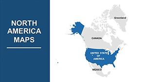
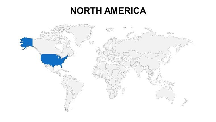
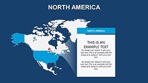
Picture a presentation where the vast expanse of North America unfolds with crystal-clear detail, turning abstract stats into a journey across continents. Our North America Editable Maps PowerPoint Slides template brings this vision to life with 8 meticulously crafted, fully customizable slides. Tailored for professionals in business, education, travel, and government, this resource helps you visualize everything from cross-border trade routes to environmental policies spanning Canada to Mexico. Compatible with PowerPoint and Google Slides, it's the shortcut to polished visuals that command attention.
For sales teams mapping market shares in the U.S. Midwest or teachers tracing indigenous histories from Alaska to the Yucatan, these maps provide geographic accuracy without the design drudgery. High-definition renders ensure every province and state boundary is precise, while editable layers let you infuse your data - be it population densities or tourism hotspots - with ease. Say goodbye to bland defaults; embrace a tool that amplifies your expertise, making complex narratives accessible and inspiring.
Standout Features for Effortless Customization
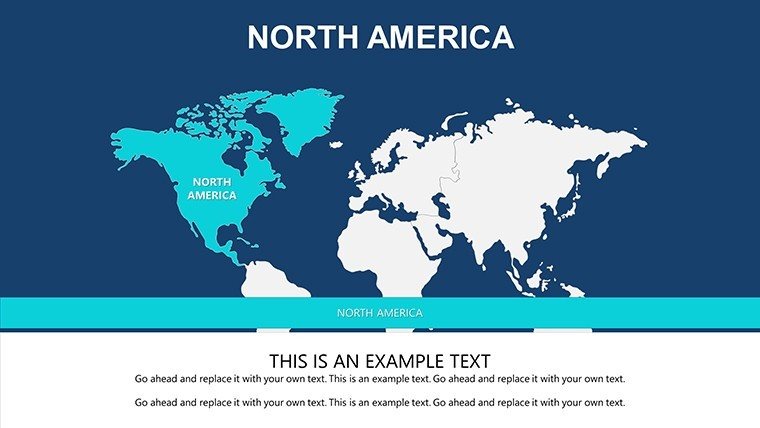
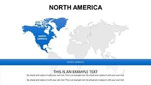
This template excels through thoughtful design elements that cater to diverse needs. Slide 3's continental overview, for example, features scalable vectors ideal for large-screen displays, while slide 6 offers segmented country views for targeted deep dives. Integration with PowerPoint's animation suite allows subtle reveals, like highlighting NAFTA impacts slide by slide.
- Geographic Precision: Accurate depictions of borders, capitals, and topography, verified against official sources for trustworthiness in policy discussions.
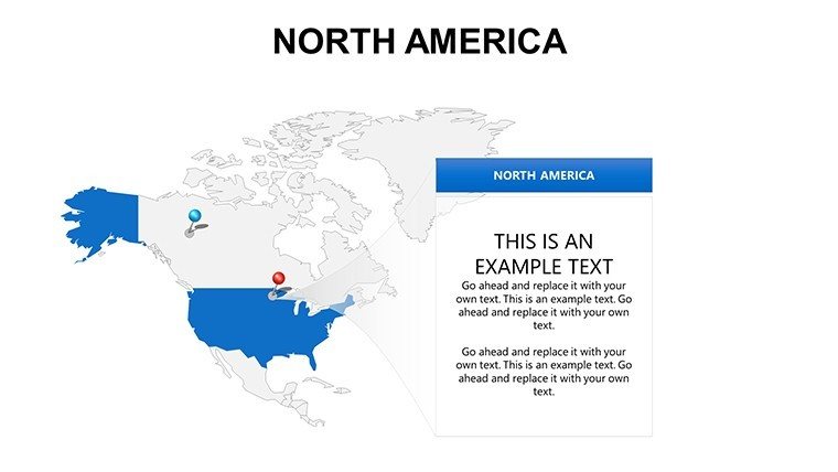
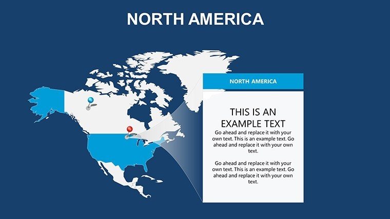
- Annotation Tools Built-In: Add pins for key events, like tech hubs in Silicon Valley, or lines for supply chains from Toronto to Tijuana.
- Versatile Color Gradients: From cool Arctic blues to warm desert oranges, adapt to themes like climate change analyses or economic forecasts.
- Infographic Companions: Included charts and icons for overlaying metrics, such as GDP comparisons across North American nations.
Unlike generic clipart, these slides are optimized for data-heavy use, reducing file sizes for smooth performance. A marketing firm in Chicago recently leveraged slide 1 to visualize expansion strategies, crediting the template for a 25% uptick in client conversions through enhanced clarity.
Practical Use Cases Across Industries
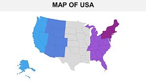
Unlock the template's potential in everyday scenarios that demand visual excellence. In education, use slide 4's blank canvas to plot historical migrations, engaging students with interactive elements during remote classes. Business leaders can customize slide 7 for investor decks, overlaying revenue projections on U.S.-Canada trade maps, aligning with standards from the World Trade Organization.
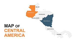
Travel planners adore the route-mapping slides (e.g., slide 5), charting adventures from the Rockies to the Bahamas with embedded timelines. Government analysts benefit from precise environmental overlays, like tracking biodiversity corridors in Central Mexico. Here's a streamlined workflow:
- Import Data: Link spreadsheets to auto-populate stats on editable regions.
- Refine Visuals: Adjust opacity for layered info, ensuring readability in dim conference rooms.
- Enhance Engagement: Add hyperlinks to sources for deeper dives, building credibility in academic or regulatory settings.
This approach not only saves time but also elevates professionalism, as seen in conference keynotes where similar maps have driven standing ovations. For NGOs focusing on hemispheric issues, the template's neutrality ensures unbiased representation, fostering productive dialogues.
Transform Your Presentations with North American Mastery
Why settle for ordinary when you can chart extraordinary paths? Our template's blend of accuracy and adaptability makes it indispensable for anyone navigating North America's complexities. Join thousands who've streamlined their workflows - customize your version and deliver presentations that inform, inspire, and impress.
Don't wait; download the North America Editable Maps PowerPoint Slides now and navigate your success with confidence. Your next big idea deserves a map that matches its scope.
Frequently Asked Questions
Q: What makes these North America maps suitable for business use?A: The editable layers allow seamless data integration, perfect for reports on trade, markets, or strategies across the continent.
Q: How many slides are in the template?A: There are 8 high-quality, customizable slides covering various map views and infographics.
Q: Does it support animations for presentations?A: Yes, compatible with PowerPoint's animation tools to create dynamic reveals and transitions.
Q: Is the template optimized for large audiences?A: Absolutely, with vector graphics that remain sharp on projectors and high-res screens.
Q: Can I add my own icons or markers?A: Easily - the design supports importing and placing custom elements for personalized touches.
Q: What's the compatibility beyond PowerPoint?A: It works with Google Slides and other software for flexible editing.