Editable Europe PowerPoint Maps: Charting Success Across the Continent


In the fast-paced world of global business and academia, the ability to visually communicate Europe's intricate landscapes can make or break your message. Enter our Editable Europe PowerPoint Maps template - a powerhouse of 42 editable slides crafted to bring continental data to life. Perfect for executives plotting market penetrations from Paris to Warsaw, educators exploring EU policies, or travel consultants mapping dream itineraries, this template transforms static information into dynamic, engaging visuals that hold audiences spellbound.
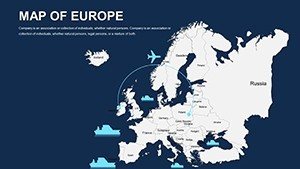
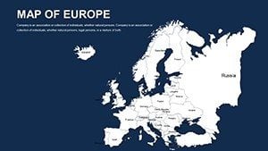
What sets this apart is its unwavering focus on precision and adaptability. Each map draws from up-to-date cartographic sources, capturing everything from the fjords of Scandinavia to the islands of the Mediterranean with stunning fidelity. Compatible with PowerPoint, it supports effortless modifications, letting you infuse your unique style - be it corporate blues for a merger pitch or vibrant tones for a cultural seminar. Say goodbye to pixelated clipart; hello to professional-grade tools that enhance your narrative and boost comprehension.
Unveiling the Standout Features of Europe-Focused Maps
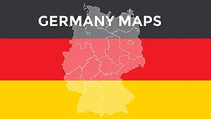
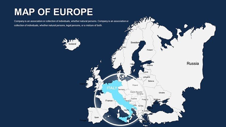
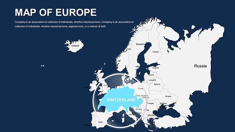
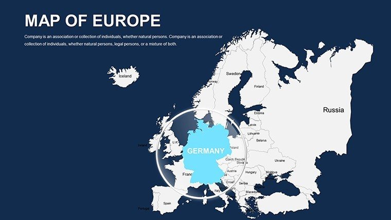
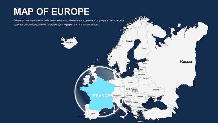
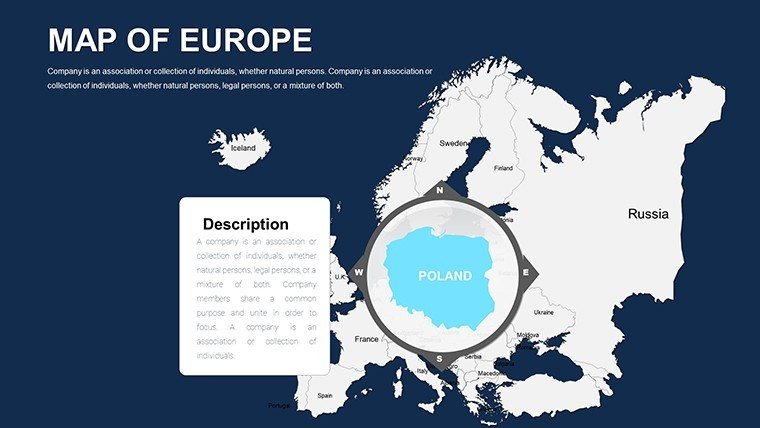
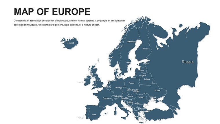
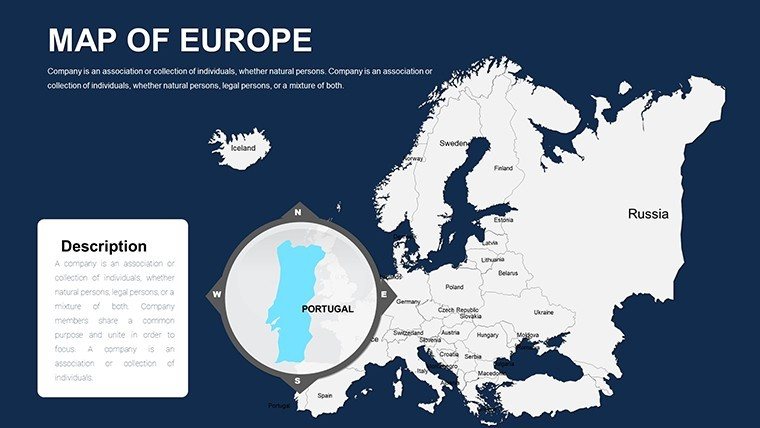
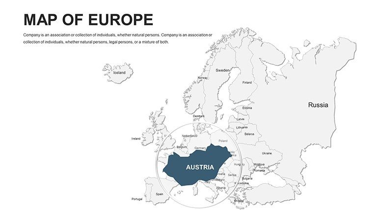
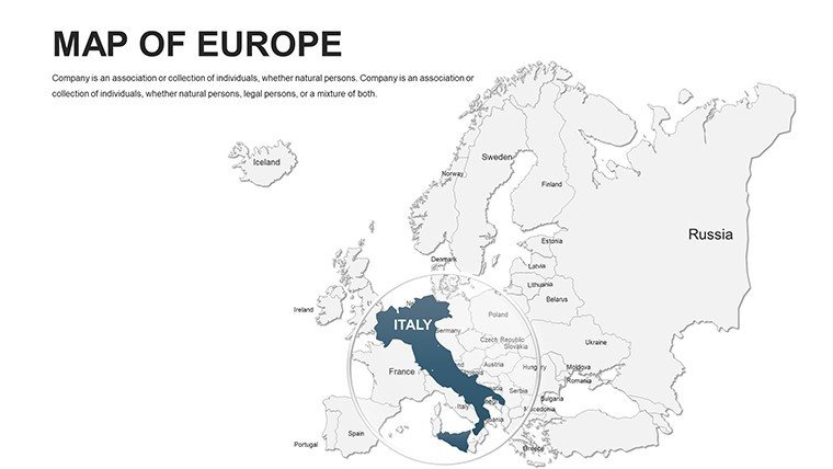
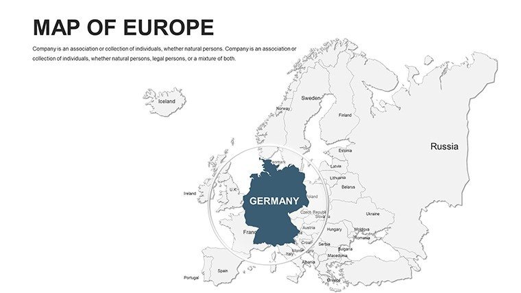
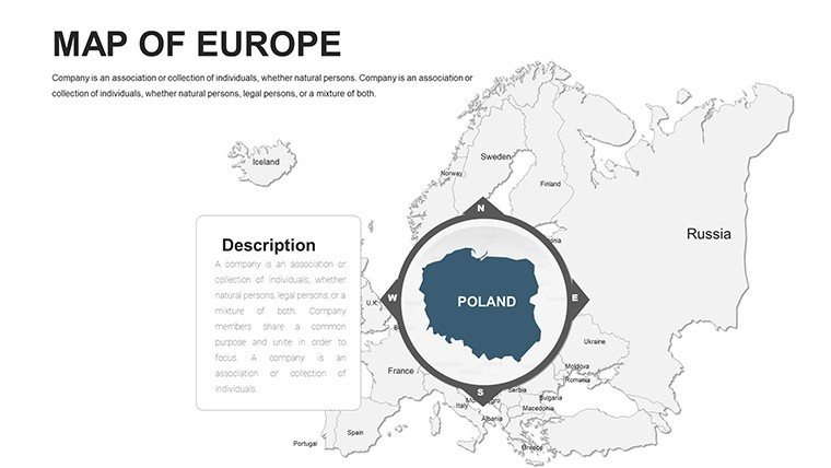
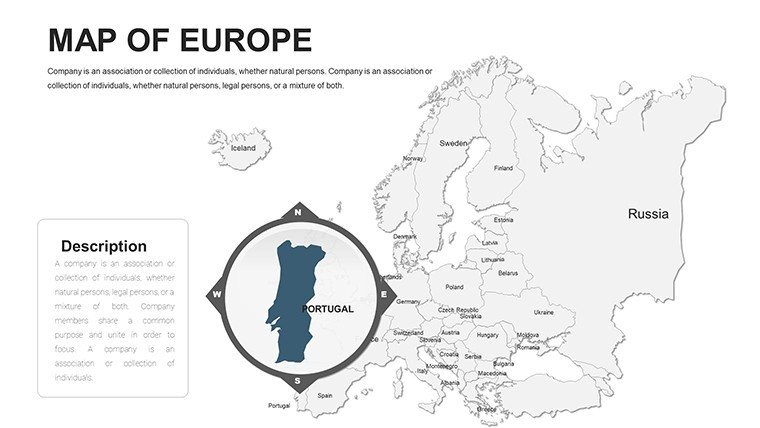
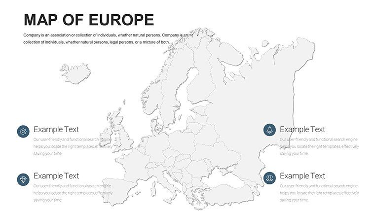
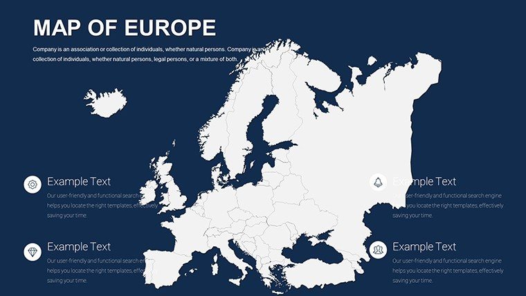
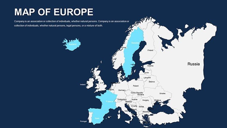
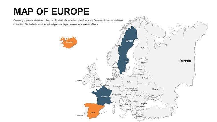
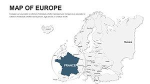
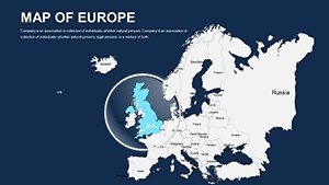
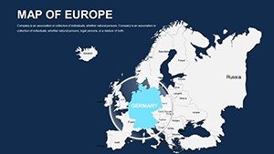
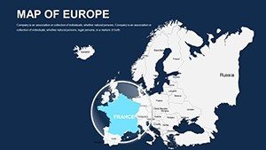
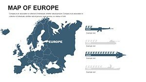
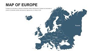
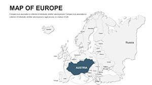
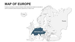
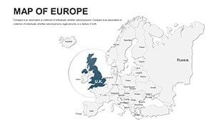
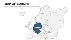
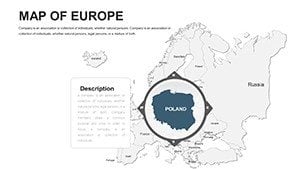
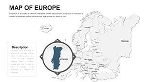
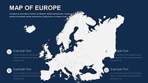
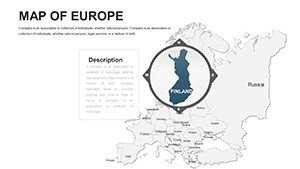
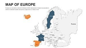
This template isn't just about maps; it's about empowering your presentations with tools that anticipate your needs. Comprehensive Coverage spans all major European nations, including detailed views of France, Germany, Italy, Spain, and the UK, allowing for targeted zooms on economic hotspots or historical sites.
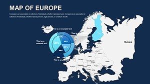
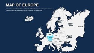
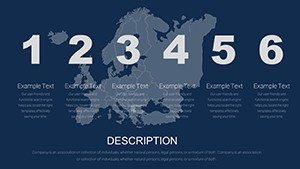
- Seamless Customization: Alter borders, add heatmaps for trade volumes, or embed charts - all within PowerPoint's familiar interface.
- Superior Visual Quality: Vector-based designs ensure sharpness, even in full-screen mode, ideal for hybrid meetings.
- Multi-Scenario Flexibility: Whether overlaying demographic trends or route planning, the slides adapt to your story.
- Efficient Workflow: Pre-built elements like legends and grids speed up prep, freeing you for content creation.
Draw from expert insights: Presentation designers often note that geographic visuals increase retention by 65%, as per studies from visual learning authorities. This template delivers that edge, helping users like a Berlin-based consultancy visualize supply chains across the EU, resulting in clearer stakeholder buy-in.
Real-World Applications: From Boardrooms to Classrooms
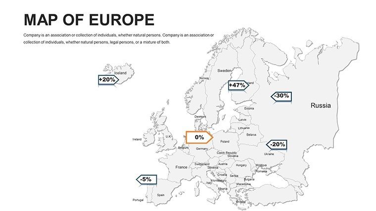
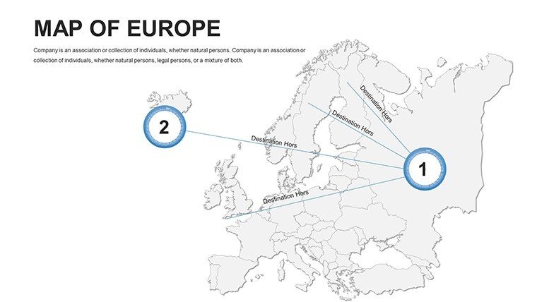
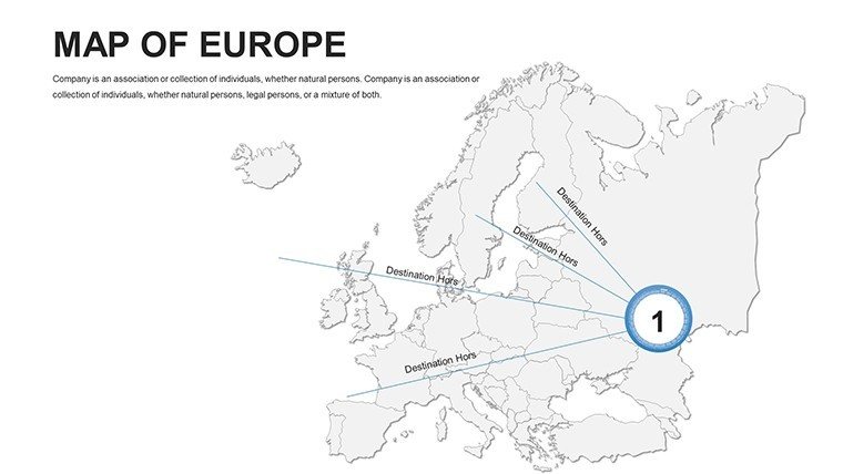
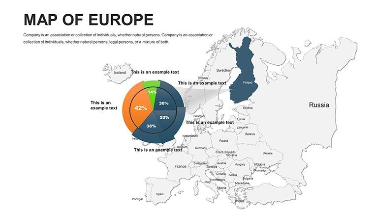
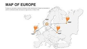
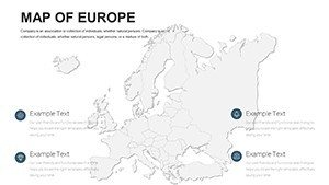
Dive into how this template solves everyday challenges. For business strategists, slides 20-25 offer ideal canvases for market analysis. Customize a pan-European overview to spotlight growth opportunities in Eastern Europe, integrating pie charts for sector breakdowns. This method has aided firms in securing funding by making regional potentials vivid and persuasive.
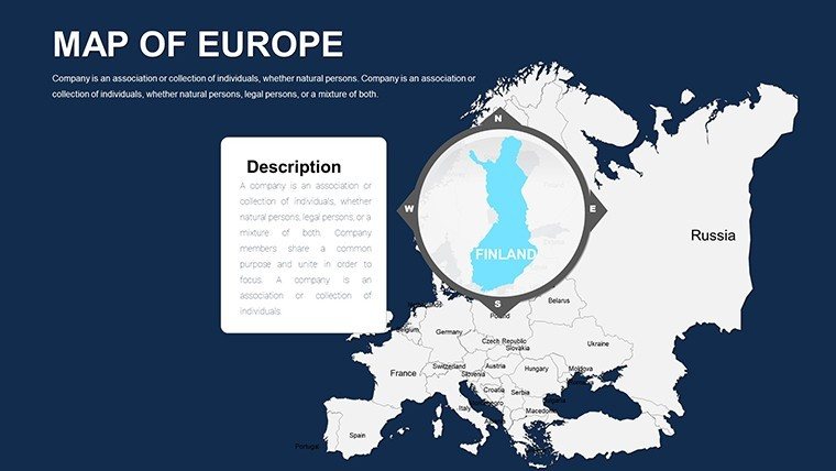
Educators find gold in the template's layered maps. Use slide 12 for a lesson on the Schengen Area, coloring zones to illustrate free movement impacts. Interactive elements encourage student participation, aligning with modern pedagogy that values visual aids for complex topics like geopolitics.
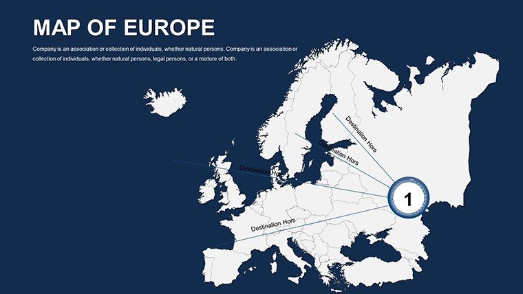
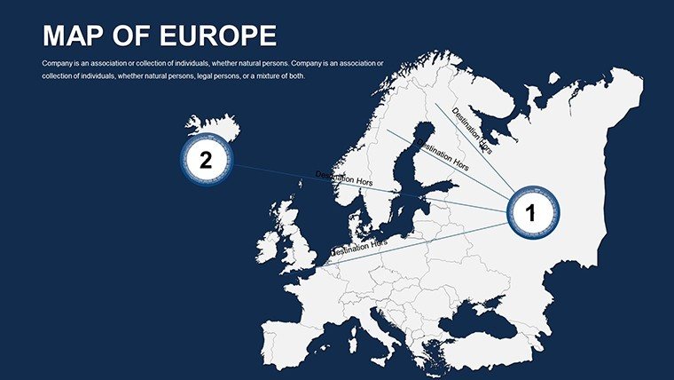
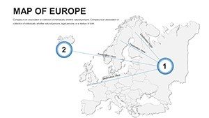
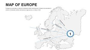
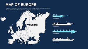
Guided Customization: Building a Trade Route Presentation
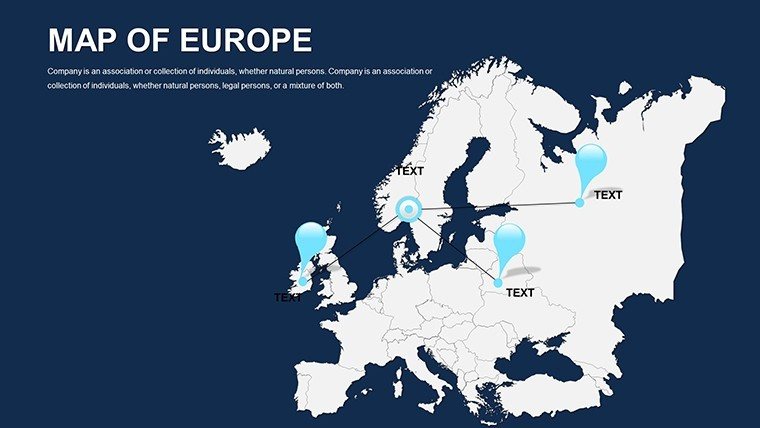
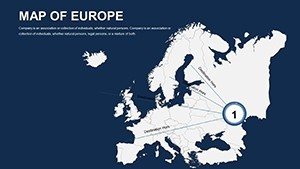
- Pick the Foundation: Start with slide 5's full Europe outline for broad context.
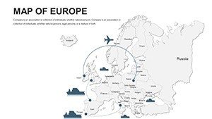
- Incorporate Data: Layer import/export stats, using gradients to show volume differences from the UK to Greece.
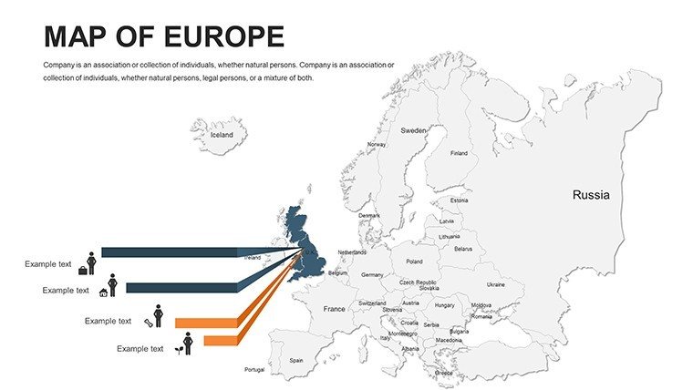
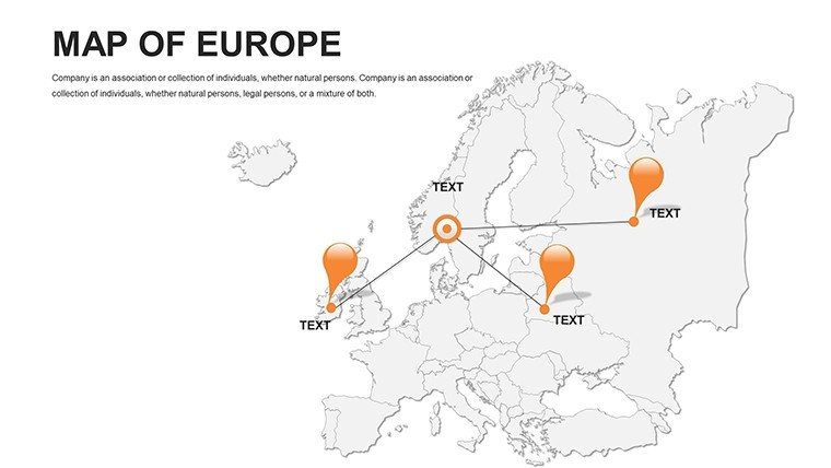
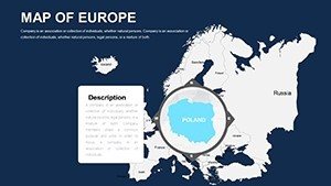
- Annotate Key Points: Add pointers for ports like Rotterdam, with hyperlinks to supporting docs.
- Style for Impact: Match colors to your theme, perhaps EU flag-inspired for authenticity.
- Animate Strategically: Fade in routes sequentially to build suspense and clarity.
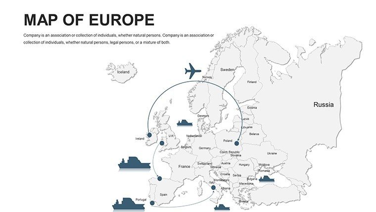
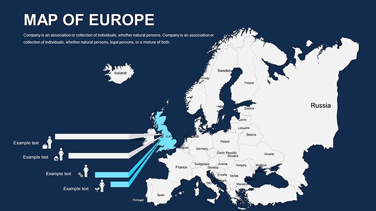
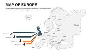
Travel pros can repurpose slides 30-35 for bespoke tours. Map multi-city hops from Rome to Amsterdam, adding timelines and tips to convert viewers into bookings. Such visuals have transformed pitches, echoing success stories from leading agencies.
Superiority Over Generic Mapping Solutions
Why settle for rudimentary PowerPoint inserts when this template offers Europe-specific accuracy and flair? It surpasses free alternatives by including nuanced details like administrative divisions, reducing research time and errors. Enhance with LSI integrations such as thematic icons for industries or environmental markers, covering terms like "editable infographics" organically.
Pro tip: Combine with animation presets for phased reveals, a technique favored by TED speakers for maintaining flow. This not only polishes your delivery but also positions you as a thoughtful communicator.
Seize the opportunity to redefine your presentations. Secure your Editable Europe PowerPoint Maps download now and navigate success with confidence.
Frequently Asked Questions
What makes these Europe maps suitable for business reports?
Their high customization allows precise data overlays, ensuring reports are both informative and visually striking.
Does the template support animations?
Yes, PowerPoint's native tools work seamlessly with the editable elements for smooth transitions.
How many countries are detailed in the slides?
All major European countries are covered, with options to focus on specifics like the UK or Italy.
Is there support for adding external data?
Absolutely - import from Excel or CSV to dynamically update maps in real-time.
Can I resize individual regions?
Yes, vector graphics permit independent scaling without distorting the overall map.
What's the file size for quick loading?
Optimized at under 10MB, ensuring fast performance in presentations.