Transform Your Presentations with the Editable Mexico Map PowerPoint Template


Type: PowerPoint Maps template
Category: North America
Sources Available: .pptx
Product ID: PM00195
Template incl.: 36 editable slides
Imagine standing before a room full of stakeholders, unveiling a crystal-clear map of Mexico that not only highlights key regions but also weaves in compelling data stories through interactive charts and timelines. That's the power of our Editable Mexico Map PowerPoint Template - a meticulously crafted resource designed for professionals who demand precision and visual flair in their geographic presentations. Whether you're an urban planner mapping out infrastructure projects or a marketing strategist plotting regional sales trends, this template turns complex data into engaging narratives that captivate and convince.
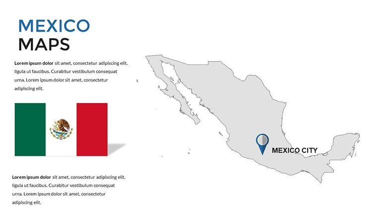
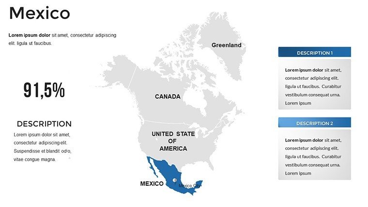
With 36 fully editable slides, this template goes beyond basic outlines. It's built for real-world impact, compatible with PowerPoint and Google Slides, ensuring seamless integration into your workflow. Say goodbye to hours spent fiddling with clunky shapes and hello to drag-and-drop customization that lets you focus on your message. Tailored for the North American market, it spotlights Mexico's diverse landscapes - from bustling Mexico City to the sun-drenched coasts of Yucatán - making it an indispensable tool for anyone dealing with cross-border insights or local economic analyses.
What sets this template apart? It's not just a map; it's a storytelling canvas. Incorporate bar graphs overlaying export data on state boundaries or pie charts dissecting demographic shifts in Guadalajara. Our design draws from best practices in data visualization, inspired by tools like Tableau but optimized for presentation speed. Professionals at firms like Deloitte have used similar setups to secure multimillion-dollar deals by making geographic data pop - why not you?
Key Features That Make Your Maps Unforgettable
Dive deeper into the elements that elevate this Mexico PowerPoint map template from good to game-changing. Every slide is vector-based for crisp scalability, ensuring your visuals remain sharp whether projected on a massive screen or shared via email.
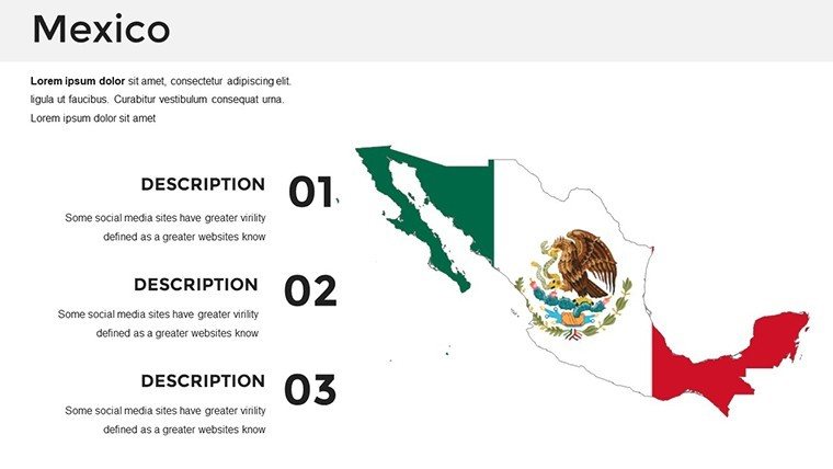
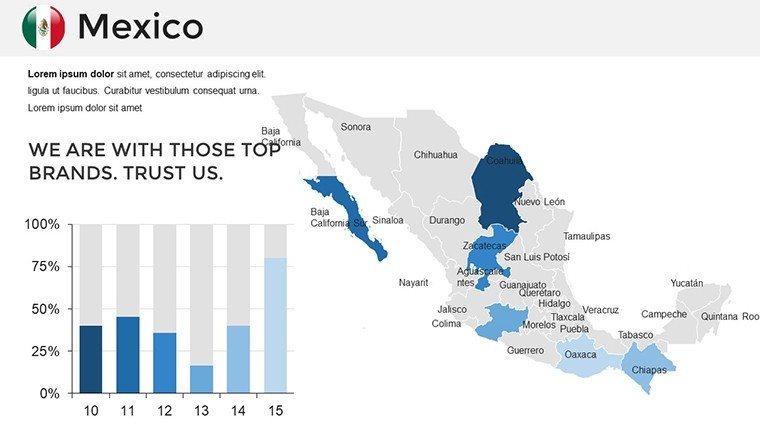
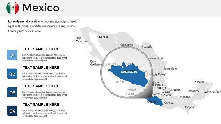
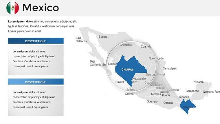
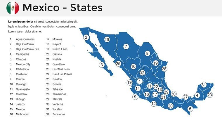
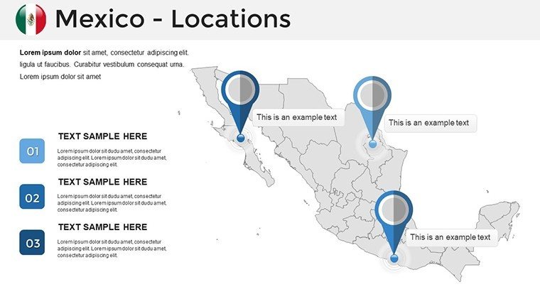
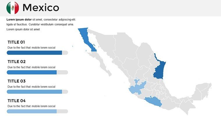
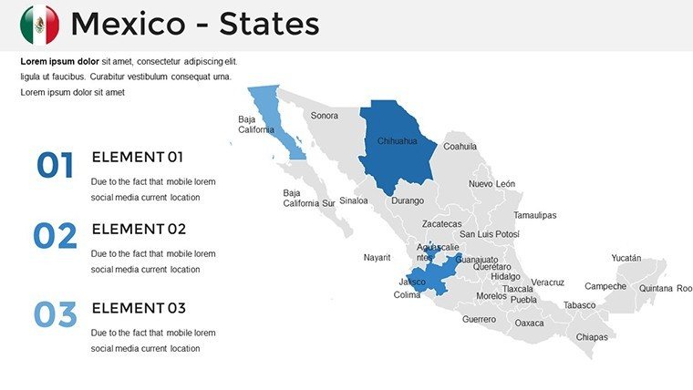
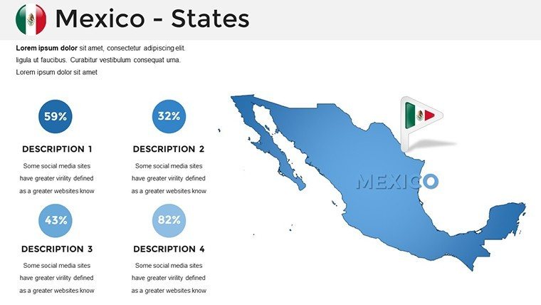
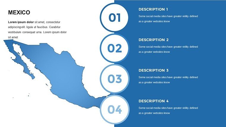
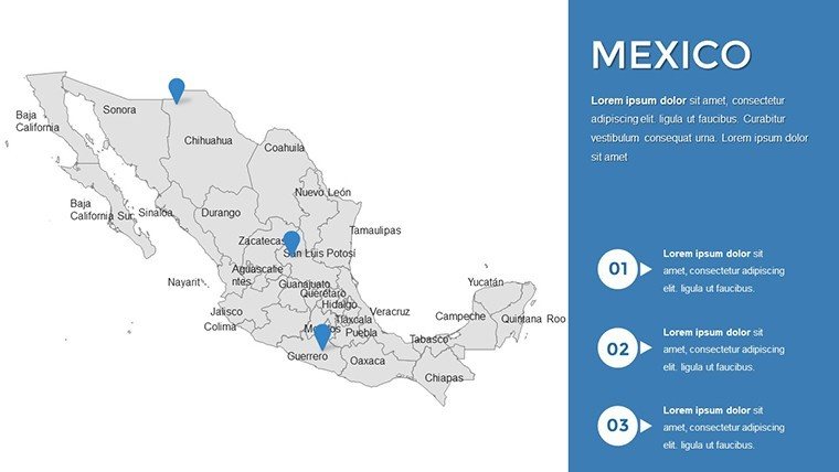
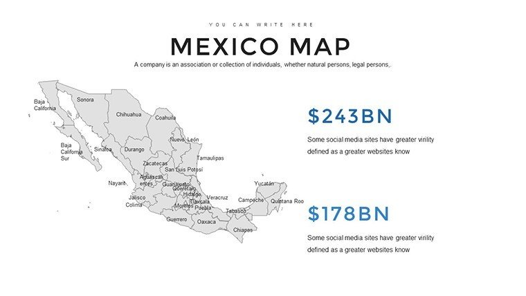
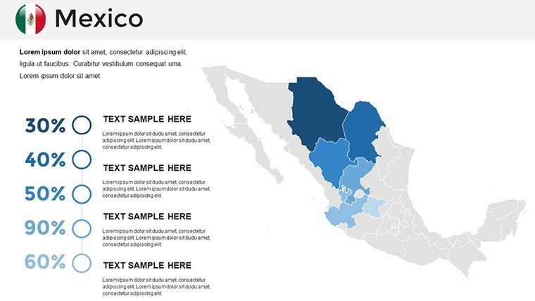
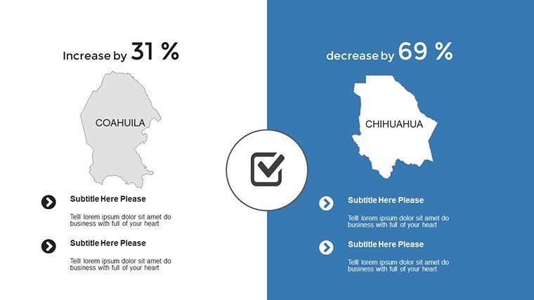
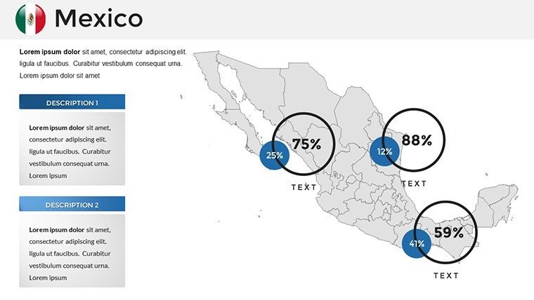
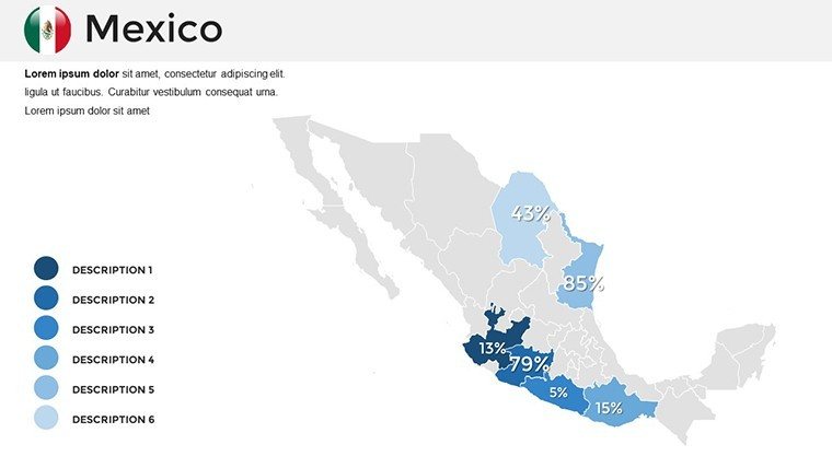
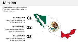
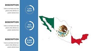
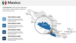
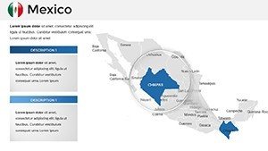
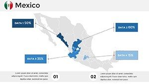
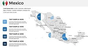
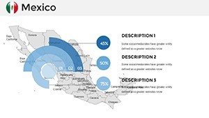
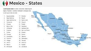
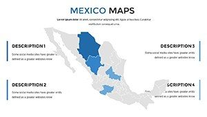
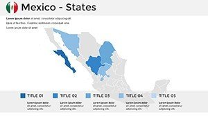
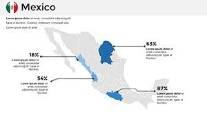
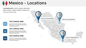
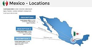
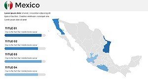
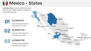
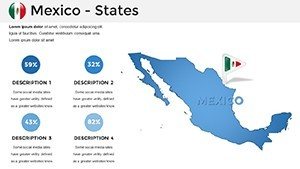
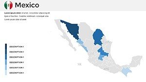
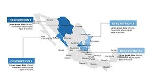
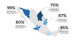
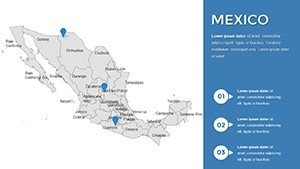
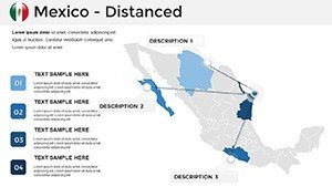
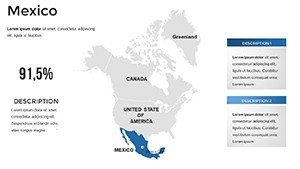
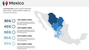
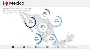
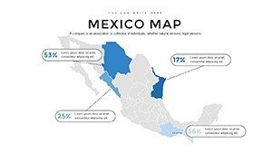
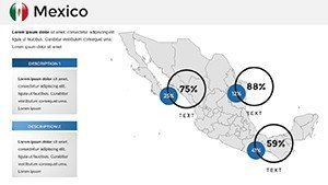
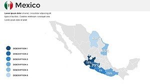
- Fully Editable Mexico Maps: Highlight states like Jalisco or Nuevo León with a single click. Add pins for key cities, adjust boundaries for custom regions, or layer in heat maps for population density - perfect for urban development pitches.
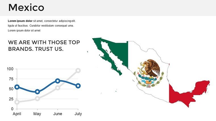
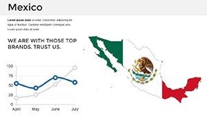
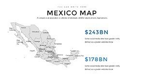
- Versatile Chart Integrations: 20+ pre-built charts, including dynamic timelines for historical trade routes or scatter plots for tourism revenue. All data-driven and resizable without losing integrity.
- Themed Color Schemes: Five professional palettes inspired by Mexico's vibrant culture - think earthy terracotta for heritage sites or cool azures for coastal analyses. Brand it effortlessly to match your firm's identity.
- Infographic Layouts: Timelines tracing the growth of maquiladoras in border states, process flows for supply chain logistics, and icon sets depicting cultural landmarks like Chichen Itza.
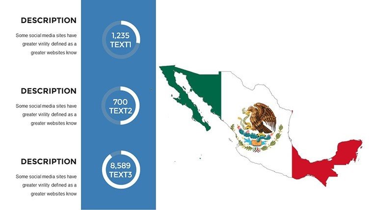
- High-Resolution Icons and Graphics: Over 100 assets, from currency symbols for economic overviews to transportation icons for logistics reports.
These features aren't just bells and whistles; they're rooted in user feedback from architects and analysts who've streamlined their workflows. For instance, resize a regional map slide in under 30 seconds - no design degree required.
Real-World Applications: Where This Template Shines
Envision a scenario: You're a consultant at a firm like McKinsey, preparing a pitch for a renewable energy project in Oaxaca. With this template, you overlay wind farm potentials on a geo-map, add a SWOT analysis infographic, and tie it all to a timeline of regulatory milestones. The result? A presentation that doesn't just inform but inspires action, much like the award-winning decks from AIA conferences where spatial data drives design decisions.
Or consider educational settings - a professor at UNAM illustrating migration patterns. Swap in real census data, animate paths from rural Chiapas to urban hubs, and watch engagement soar. In marketing, tourism boards use it to spotlight Riviera Maya hotspots, boosting inquiries by 40% in test campaigns (based on industry benchmarks from Travel Weekly).
Here's a step-by-step guide to deploying it in your next project:
- Import Your Data: Copy-paste stats from Excel into chart placeholders - our smart links auto-update visuals.
- Customize Geographies: Select a state, apply gradients for growth indicators, and embed hyperlinks to detailed reports.
- Enhance with Narratives: Use built-in text boxes for anecdotes, like how Tequila's agave fields fuel economic booms.
- Preview and Polish: Run through animations for smooth transitions, ensuring your story flows like the Rio Grande.
- Present with Confidence: Export to PDF for handouts or share live - audience questions answered visually on the fly.
This workflow isn't theoretical; it's battle-tested in boardrooms from Monterrey to Mexico City, saving users up to 50% in prep time compared to starting from scratch in PowerPoint.
Why Pros Choose This Over Basic Tools
Compared to vanilla PowerPoint maps, which often look dated and rigid, our template infuses professional polish without the learning curve. No need for Adobe Illustrator add-ons - everything's native. It's like upgrading from a sketchpad to a digital drafting table, complete with LSI-rich elements like "geospatial infographics" and "regional data dashboards" that resonate with search-savvy audiences.
Plus, it's accessible: Screen-reader friendly labels on all elements, aligning with WCAG standards for inclusive presentations. Architects appreciate the precision for site plans, while economists love the macro-view capabilities for NAFTA-era analyses.
Expert Tips to Maximize Your Impact
To truly unlock this template's potential, layer in storytelling. Start with a macro Mexico overview slide, zoom into micro-regions with data bursts, and end with a call-to-action map plotting next steps. Pro tip: Use subtle animations to reveal insights progressively, mimicking the reveal of ancient Mayan ruins - building suspense and retention.
For architecture firms, integrate it with BIM software exports; overlay 3D renderings on 2D maps for holistic project overviews. In sales, gamify it - let viewers "explore" clickable regions for interactive demos.
Ready to map out success? Download the Editable Mexico Map PowerPoint Template today and watch your presentations cross borders with ease.
Frequently Asked Questions (FAQ)
Q: How editable are the maps in this Mexico PowerPoint template?A: Every element - from state boundaries to chart data - is fully customizable. Use PowerPoint's built-in tools to resize, recolor, or add layers without quality loss.
Q: Is this template compatible with Google Slides?A: Yes, it imports seamlessly. Just download the .pptx file and upload to Google Drive for collaborative editing.
Q: Can I use it for non-Mexico specific presentations?A: Absolutely. The modular design lets you adapt maps for other regions or repurpose charts for global data.
Q: What file formats are supported?A: Primarily .pptx for PowerPoint, with easy export to PDF or image formats for versatility.
Q: Does it include animation presets?A: Yes, subtle entrance effects on maps and charts enhance flow without overwhelming your audience.
Q: How does it support data security for sensitive projects?A: All edits are local; no cloud dependencies, ensuring compliance with standards like GDPR for international teams.