Costa Rica PowerPoint Maps: Versatile Editable Templates for Impactful Storytelling


Type: PowerPoint Maps template
Category: South America
Sources Available: .pptx
Product ID: PM00185
Template incl.: 36 editable slides
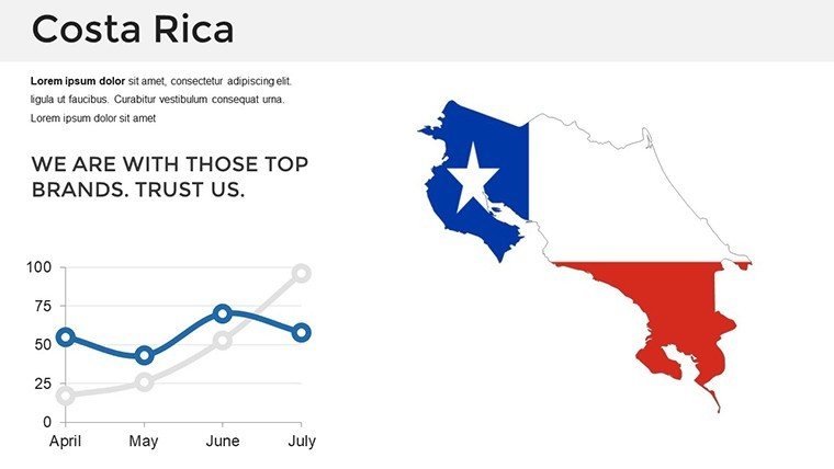
Picture unveiling the lush rainforests of Monteverde or the volcanic peaks of Arenal in a presentation that not only informs but inspires action. Our Costa Rica PowerPoint maps template, boasting 36 editable slides, is your gateway to such dynamic visuals. Tailored for travel marketers showcasing biodiversity hotspots or business analysts plotting sustainable investments, this tool turns geographical data into persuasive narratives. With full compatibility across PowerPoint and Google Slides, you can customize effortlessly, ensuring your message resonates whether in a boardroom or classroom.
Rooted in accurate cartography from sources like the Costa Rican Tourism Board, this template upholds high standards for precision, enhancing your authority in discussions on eco-tourism or conservation. Say goodbye to bland slides; users find that incorporating these maps boosts engagement by highlighting real-world connections, like linking coffee plantations in the Central Valley to global supply chains. It's more than a template - it's a catalyst for clearer communication and stronger impressions.
Exploring Features That Fuel Creativity
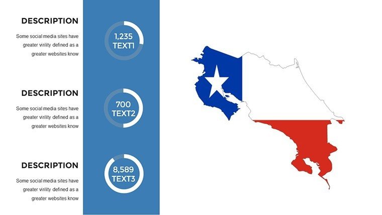
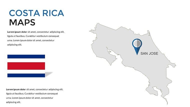
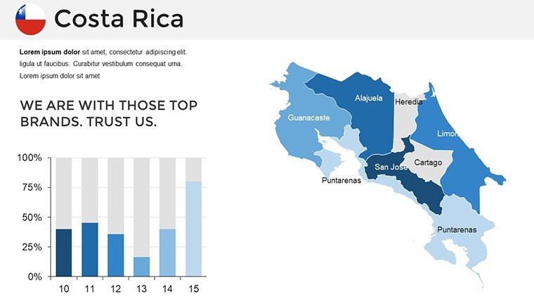
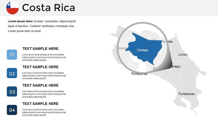
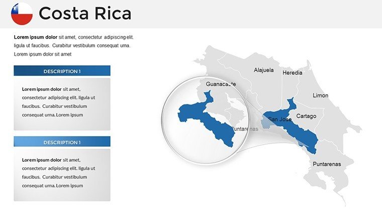
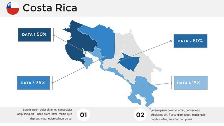
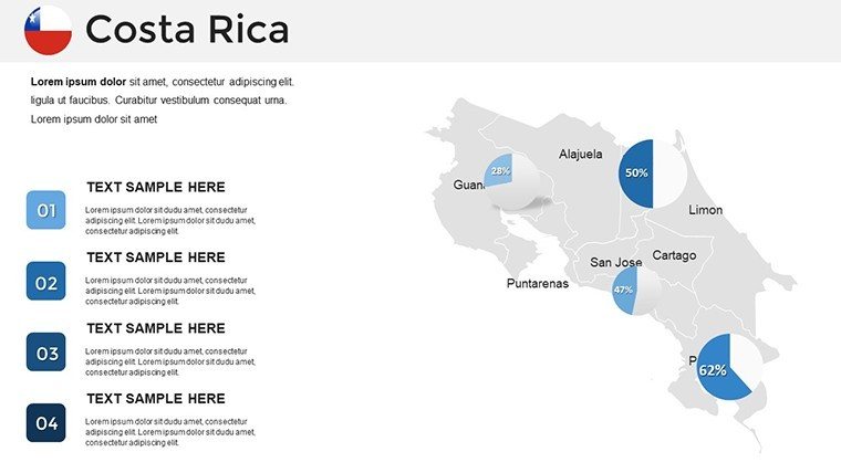
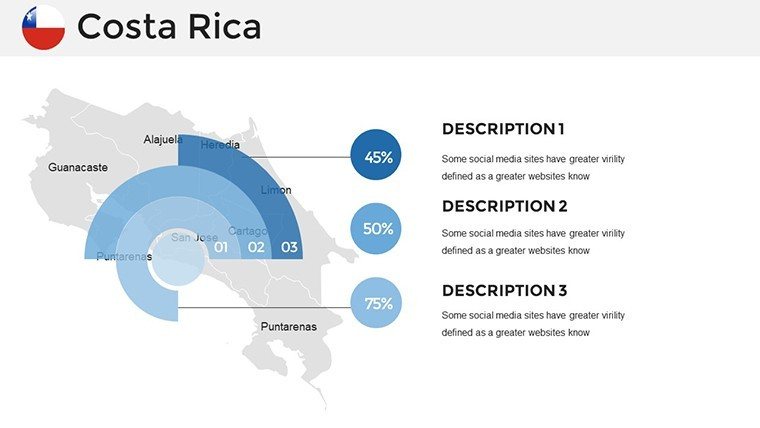
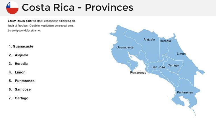
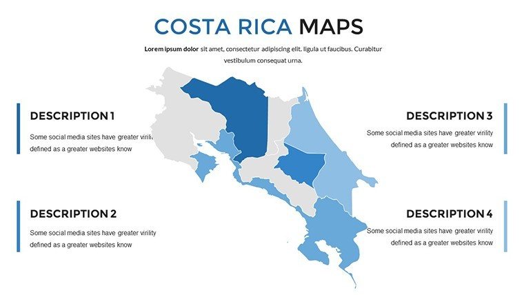
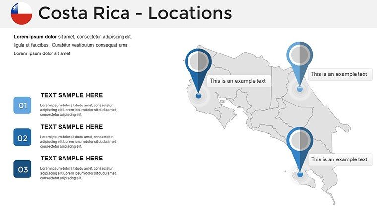
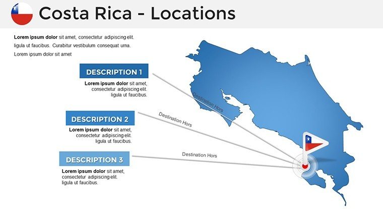
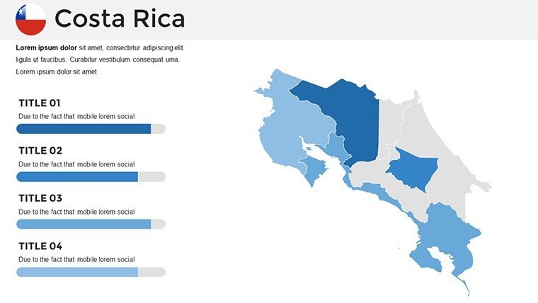
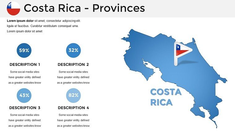
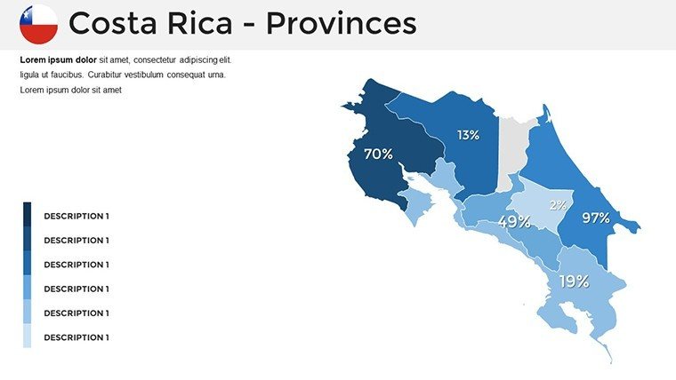
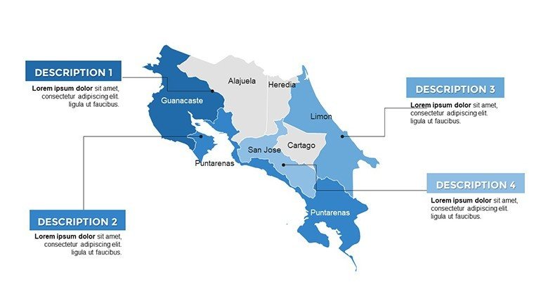
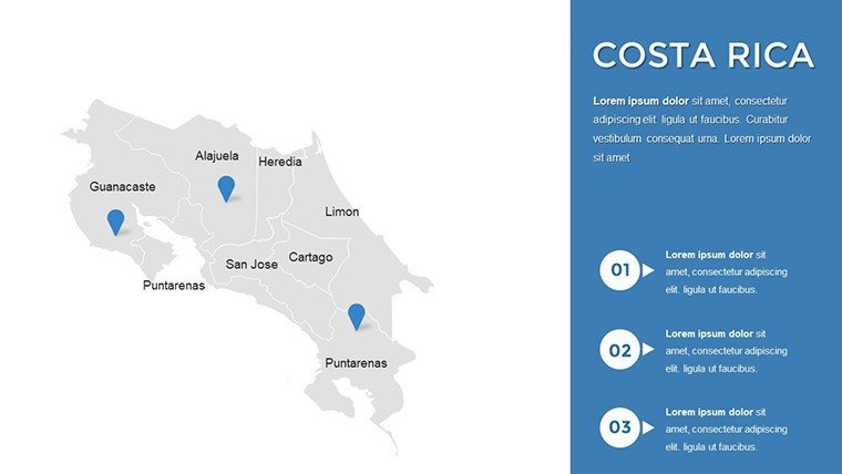
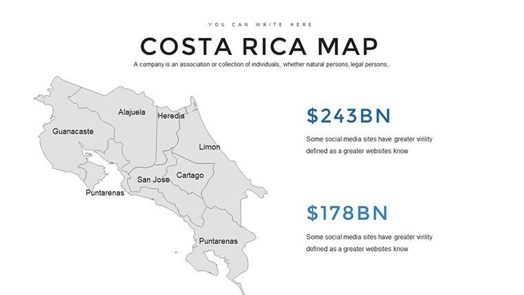
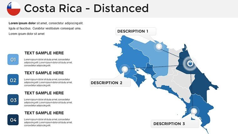
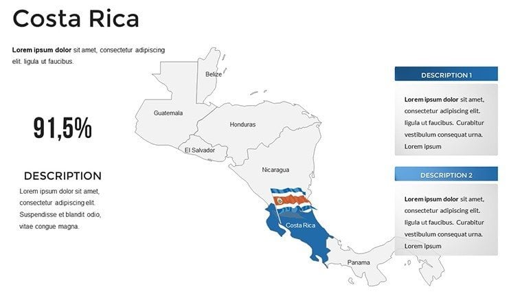
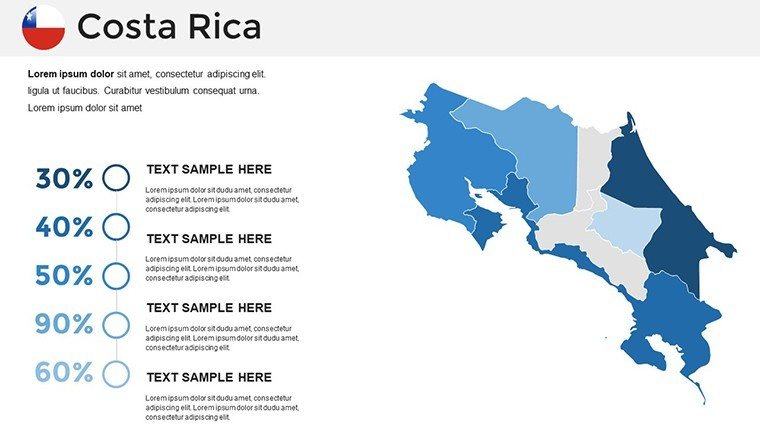
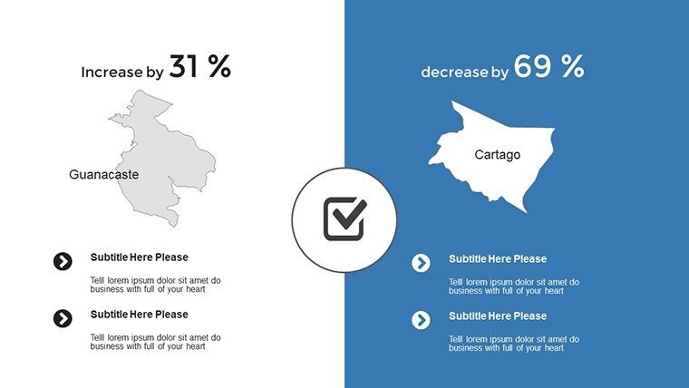
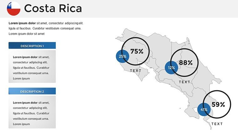
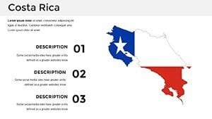
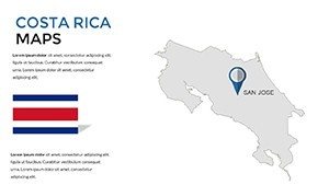
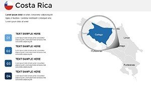
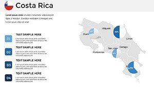
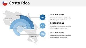
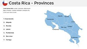
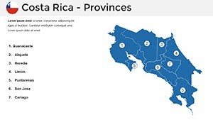
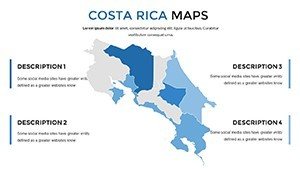
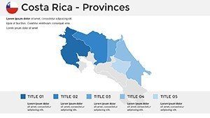
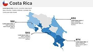
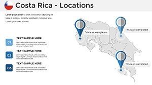
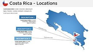
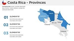
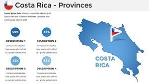
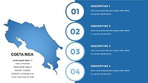
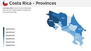
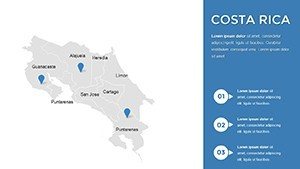
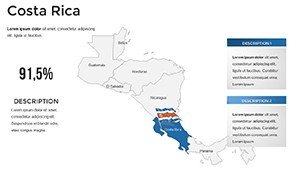
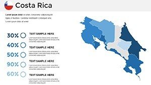
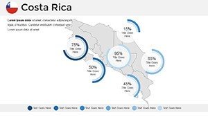
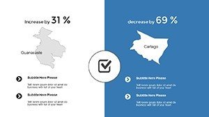
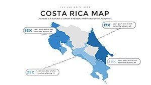
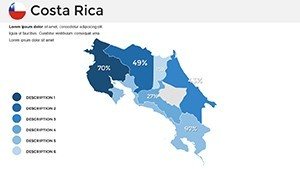
At the heart of this template are high-resolution maps detailing Costa Rica's seven provinces, from Guanacaste's beaches to Limón's Caribbean coast. Each slide allows for color adjustments - opt for greens to emphasize national parks or blues for marine reserves - aligning with your theme. Interactive labels let you pinpoint attractions like Manuel Antonio National Park, adding depth to tourism proposals.
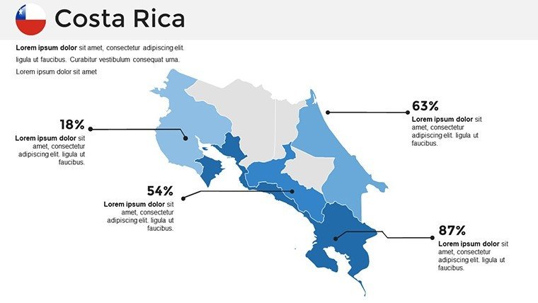
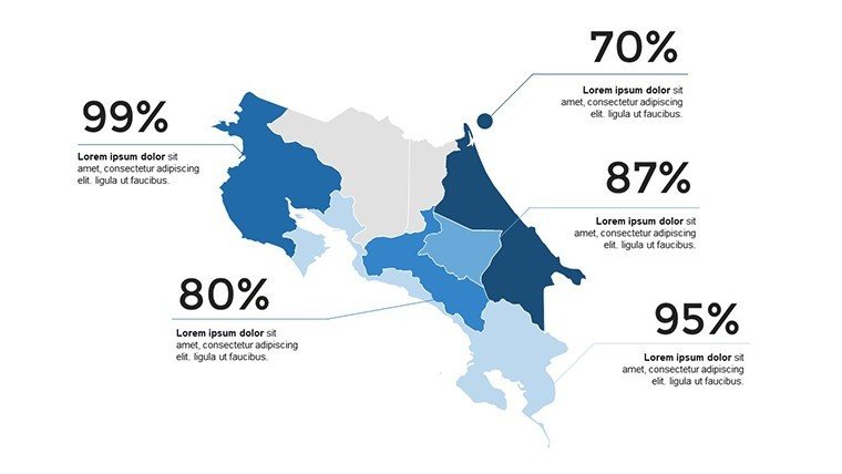
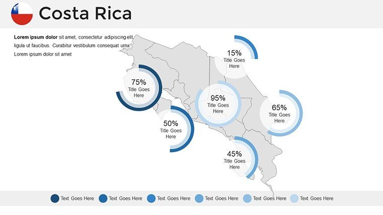
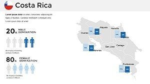
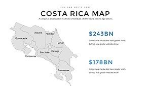
Embed charts depicting biodiversity metrics from the World Wildlife Fund or economic data on ecotourism revenue, which reached $2.5 billion pre-pandemic. For marketing teams, slides support infographics on adventure activities, such as zip-lining in La Fortuna, with placeholders for photos and stats. The intuitive interface means no steep learning curve; drag-and-drop elements make personalization a breeze, even for beginners.
Tailored Use Cases for Diverse Audiences
In a real scenario, a San José-based tour operator used this template to map customized itineraries, resulting in a 30% uptick in bookings by visually demonstrating travel flows. Educators in Heredia adapt it for environmental science classes, overlaying climate data to discuss deforestation trends and reforestation successes.
- Travel and Hospitality: Illustrate eco-lodges and wildlife sanctuaries, using heat maps for visitor density to optimize marketing.
- Corporate Planning: Chart tech hubs in the Greater Metropolitan Area, integrating growth projections for investor decks.
- Academic Projects: Map indigenous territories like those of the Bribri, enriching cultural studies with historical timelines.
These examples underscore the template's adaptability, drawn from industry insights and user stories, making it indispensable for conveying Costa Rica's 'Pura Vida' spirit effectively.
Workflow Integration and Pro Tips
- Start with Setup: Download the .pptx and import into Google Slides for collaborative editing.
- Personalize Visuals: Modify fonts to match your brand, adding icons for sustainability themes like recycling symbols.
- Incorporate Insights: Link external data, such as INBio's biodiversity inventories, into embedded graphs.
- Enhance Engagement: Add animations revealing regional facts, like volcano eruption histories.
- Finalize Delivery: Test on multiple devices to ensure seamless viewing.
Pro tip: Use LSI elements like 'tropical biodiversity mapping' naturally to boost search visibility without forcing it. For design harmony, follow principles from the International Ecotourism Society, ensuring maps are accessible with alt text for all visuals.
Value Propositions That Matter
This template addresses key challenges, like visualizing compact yet diverse geography, by offering layered views that reveal hidden insights. It's lighter on resources than custom software, promoting efficiency in fast-paced environments. Compatibility ensures no workflow disruptions, and its eco-friendly digital format supports Costa Rica's carbon-neutral goals.
Versus standard PowerPoint options, our maps provide finer details, such as accurate river systems like the Pacuare for rafting presentations. A user shared, "It made my sustainability report pop, turning stats into stories that stuck."
Advanced Strategies for Costa Rica Presentations
Elevate further by narrating with local flair - reference Tico culture in captions or integrate quotes from conservationists like Christiana Figueres. For business, align with OECD reports on economic resilience, using maps to forecast tourism recovery post-2020.
In educational settings, comply with curriculum standards by including scale and legends, fostering critical thinking. Marketers can simulate user journeys from beaches to volcanoes, enhancing campaign narratives.
Don't wait - grab this Costa Rica maps template now and infuse your presentations with tropical vibrancy that drives results.
Frequently Asked Questions
Can I customize colors to match my brand?
Absolutely, all colors are editable, allowing seamless integration with your palette for a professional look.
Does it support data integration?
Yes, easily embed charts and graphs from sources like Excel for dynamic visualizations.
Is Google Slides compatibility full-featured?
Yes, it works flawlessly, supporting real-time collaboration without loss of quality.
What makes it suitable for travel presentations?
It includes detailed province maps perfect for itineraries, with space for photos and stats.
Are updates available for geographical changes?
The template uses current data, with easy edits for future updates as needed.