Pin down exact spots with our location PowerPoint maps templates, tailored for marking venues, routes, and hotspots with pinpoint accuracy. These versatile designs integrate GPS-like elements into presentations, streamlining the communication of place-based information.
Perfect for event planners, sales teams, and navigators, they offer quick-setup icons and paths that clarify directions and distributions. Standout benefits: Enhanced spatial awareness and reduced miscommunication in diverse audiences.
Layer in custom markers or heat zones to suit your needs. Check out our range and map out your ideal template selection.
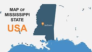
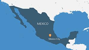
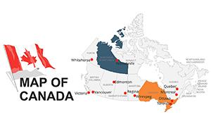
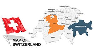
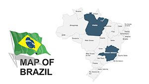
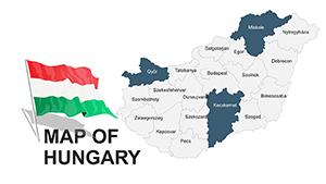
Location PowerPoint maps zero in on specifics, using pins and polylines to spotlight critical points amid broader contexts. They make abstract addresses concrete, turning slides into interactive guides.
Sales pros route client visits, event coordinators site logistics - precision powers productivity.
Trace deliveries with connected pins, forecasting delays through visual clustering.
Highlight property hotspots with density maps, attracting buyers with localized appeal.
Plot response zones, ensuring teams grasp coverage gaps instantly.
Outshining generic inserts, these templates embed smart grouping for filtered views, adapting to data volume dynamically.
Color-code pins by category for at-a-glance sorting, and hyperlink to detailed profiles. Animate routes to simulate journeys, building anticipation in narratives.
Blend with timeline charts to track location evolutions, or QR codes for augmented reality extensions. Innovation: Auto-populate from Excel for live updates during pitches.
Tip: Maintain north orientations consistently to orient audiences subconsciously.
Locate your edge in presentations. Download location PowerPoint maps and navigate to brilliance.
Copyright © 2009-2026 ImagineLayout All rights reserved.