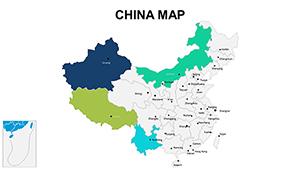
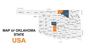
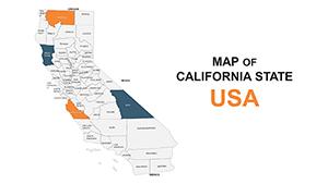
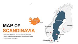
Chart courses and insights using our earth map-centric PowerPoint templates, engineered for cartographers, travelers, and data analysts. These feature layered world maps, route overlays, and topographic details to make geographic narratives pop.
From expedition planners to market researchers, leverage zoomable regions and pin annotations to pinpoint stories. Custom paths and heat zones simplify complex spatial data, turning slides into interactive explorations that guide viewers intuitively.
Plot ahead: Survey our map templates and steer your presentation to success.
Beyond simple outlines, these include elevation shading and climate overlays for nuanced views. Urban planners simulate growth patterns; journalists map conflict zones dynamically.
They surpass generics with precise scale bars, aiding logistics briefings. Expeditions use them for itinerary breakdowns, enhancing route comprehension.
Envision a realtor overlaying property trends on urban maps, or a historian tracing empire expansions. In disaster response, they forecast impact zones swiftly.
Agencies craft adventure packages with multi-stop connectors.
Sales teams visualize territory coverage with shaded regions.
Techniques: Anchor maps centrally, using legends for clarity. Our plus: GPS-exportable paths for field use.
Animate migration flows for demographic studies, captivating audiences. Surveys indicate 35% better recall with visual routing.
Pro: Calibrate colors for color-blind accessibility.
Navigate to our earth map PowerPoint templates and chart your content course.
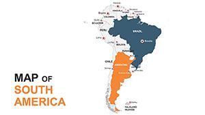
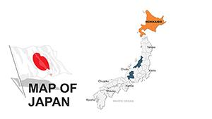
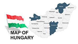
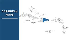
Political, physical, thematic, and custom vector maps.
Yes, with paths, zooms, and highlight sequences.
Via shape tools or imported coordinates.
Ultra-HD vectors for print and large displays.
Basic extrusions for terrain modeling.
Copyright © 2009-2026 ImagineLayout All rights reserved.