Bring the vast landscapes of Africa to life in your presentations with our Keynote map templates. Suited for educators, geographers, and global business strategists, these detailed visuals cover the continent`s 54 countries, major rivers, and urban centers with accuracy and style.
Vector-based for infinite scaling, each map includes layered elements like labels and highlights, editable via Keynote`s intuitive tools. Animate borders for dynamic reveals or color-code for thematic emphasis, such as trade routes or biodiversity zones.
From classroom lessons to corporate expansions, these maps provide context that captivates. Infuse your slides with geographic depth and cultural nuance.
Select from overview continent views to focused regional insets. Ignite curiosity and inform decisions today.
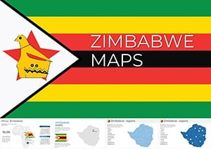
Editable Zimbabwe Keynote Maps: Professional Templates
ID: #KM00218
$38.00
(737)
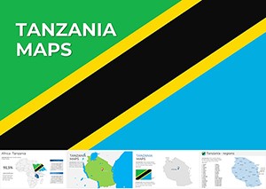
Tanzania Keynote Maps: Visualize East Africa's Potential
ID: #KM00217
$38.00
(417)
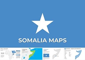
Somalia Keynote Maps: Navigate Data with Precision
ID: #KM00216
$30.00
(48)
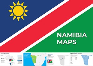
Namibia Keynote Maps: 37 Editable Slides for Stunning Presentations
ID: #KM00215
$45.00
(675)
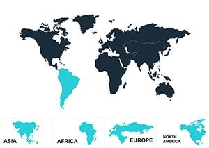
Global World Map Keynote Template - Instant Download | ImagineLayout
ID: #KM00170
$20.00
(539)
World Map with Country Keynote Presentation Template
ID: #KM00168
$26.00
(576)
Customizable World Maps Keynote: 10 Pro Slides
ID: #KM00162
$20.00
(685)
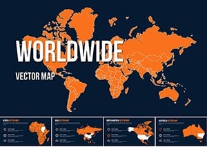
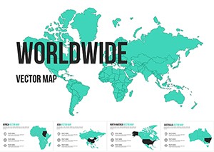
Worldwide Vector Map for Keynote: Vectors That Venture Far
ID: #KM00161
$20.00
(21)
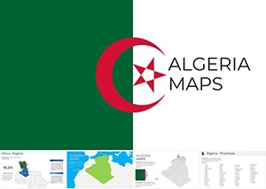
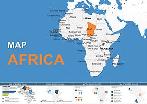
Africa Maps Keynote Template: Unlock Visual Stories
ID: #KM00158
$16.00
(1168)
Explore Africa's Dynamic Landscape with Our Editable Keynote Maps Template
ID: #KM00157
$16.00
(241)
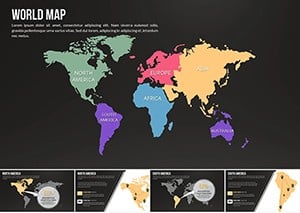
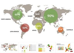
Animated World Map Keynote Template - Download High-Quality Designs
ID: #KM00088
$14.00
(857)
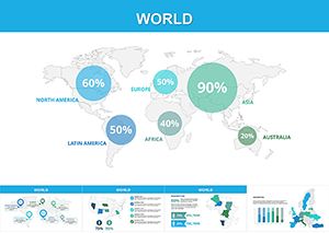
Modern World Map Keynote Template
ID: #KM00087
$20.00
(1127)
World Map Keynote Template: Globalize Your Vision with Ease
ID: #KM00086
$20.00
(747)
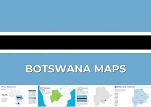
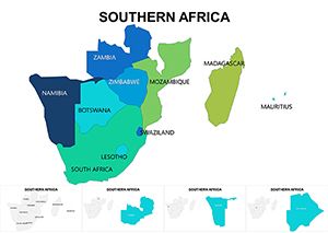
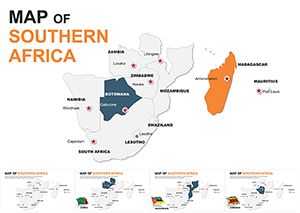
Southern Africa Maps Keynote Template: Precision in Every Province
ID: #KM00076
$25.00
(381)
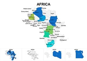
Africa Maps Keynote Template: Journey Through Continental Diversity
ID: #KM00075
$25.00
(207)
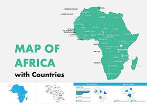
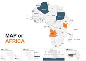
Editable Africa Keynote Maps 2020: Continental Storytelling at Your Fingertips
ID: #KM00053
$45.00
(1197)
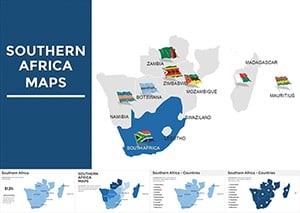
Southern Africa Keynote Maps: Transform Your Presentations with Geographic Precision
ID: #KM00052
$55.00
(323)
South Africa Keynote Map Template: Visualize Your Ideas with Precision
ID: #KM00009
$44.00
Navigating Narratives with Africa Map Templates
Maps are more than lines - they`re stories of connection and discovery. Our Keynote templates for Africa surpass basic outlines by integrating relief shading, climate icons, and population data layers, offering richer context than standard cartography tools.
Users in academia or international affairs leverage these for nuanced discussions, fostering deeper understanding.
Versatile Applications for African Maps
Educational Modules: Interactive geography lessons tracing migrations or resources.
Business Strategies: Market entry visuals highlighting economic hubs.
Travel Presentations: Itineraries with overlaid attractions and transport links.
NGO Reports: Impact mapping for aid distribution and sustainability efforts.
Compared to free online generators, ours ensure offline access and brand-aligned styling. Best practices: Use subtle animations to build regions progressively and cite sources in footnotes.
Enhancing Maps with Keynote Features
Layer masks allow selective transparency - reveal urban growth over time, for instance. Example: An NGO visualized water projects across the Sahel, engaging donors with phased continent builds.
Pair with charts for hybrid slides, like GDP correlations by nation. Export options support high-res prints for posters.
Chart your course: Download Africa maps for globally resonant content.
Cartographic Best Practices
Maintain scale consistency across slides.
Incorporate legends for color meanings.
Opt for neutral projections to avoid distortions.
Update with recent boundary changes.
Guided by mapping experts, these ensure ethical and effective representations.
Frequently Asked Questions
What level of detail do the maps provide?
From country borders to city labels and natural features, with options for more granular views.
Are maps fully vector-based?
Yes, for sharp scaling without pixelation in any presentation size.
Can I highlight specific countries?
Easily, via grouped objects that change fill and stroke independently.
Do they include regional divisions?
Yes, North, East, West, Central, and Southern Africa breakdowns.
How do I animate map elements?
Keynote`s magic move and path animations bring paths and highlights to life.
Are historical maps available?
Select templates offer eras like colonial or post-independence views.
Map out success across the continent. Acquire your templates and inspire globally.