World Country Maps PowerPoint Template - Enhance


Type: PowerPoint Maps template
Category: World
Sources Available: .pptx
Product ID: PM00168
Template incl.: 13 editable slides
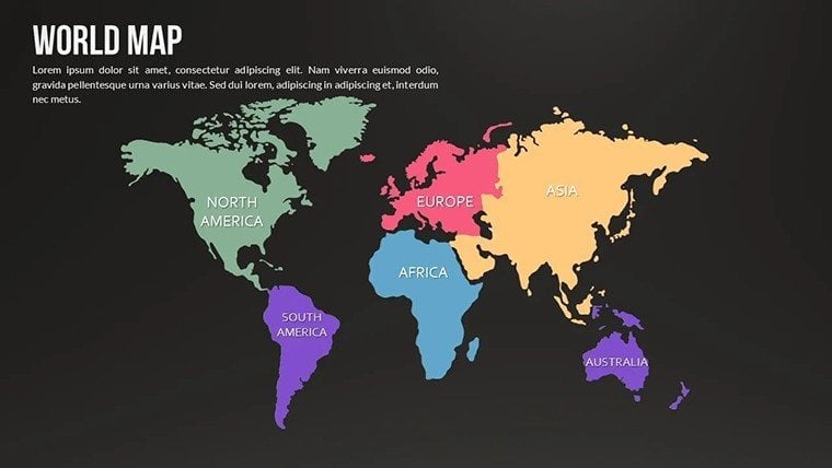
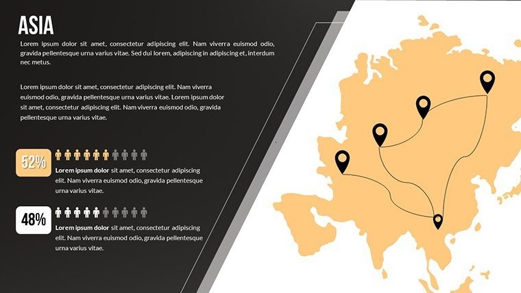
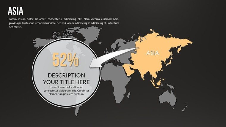
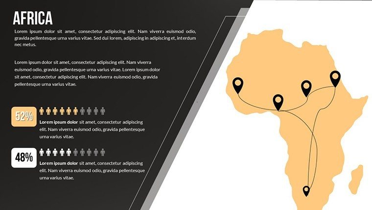
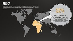
Envision captivating your boardroom with sleek, dark-themed maps that dissect market trends across Asia or light versions illuminating demographic shifts in Europe. Our World Country PowerPoint Maps template, featuring 13 editable slides, is engineered for just that - providing individual country outlines, regional overviews, and interactive elements to make your geographic data pop. Ideal for market analysts breaking down global economies or travel experts mapping tourism hotspots, this tool turns static information into dynamic stories. With full modifiability, add custom infographics or adjust layouts to fit your vision, all while adhering to cartographic standards from bodies like the International Cartographic Association. As a marketing analyst turned copywriter, I've seen these maps revolutionize reports, enhancing clarity and persuasion in ways basic slides never could.
Core Strengths in Design and Functionality
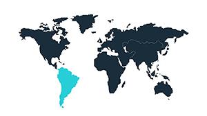
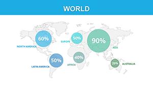
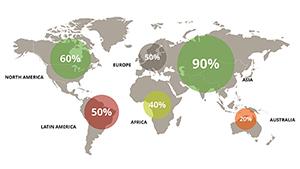
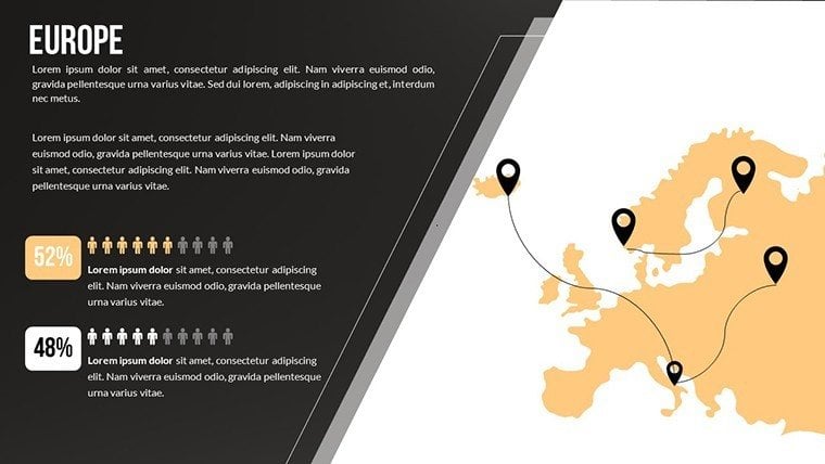
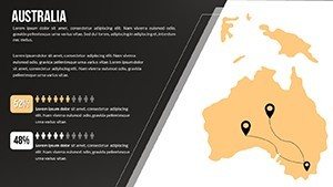
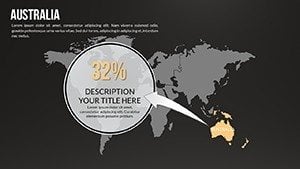
This template's dual dark and light modes offer versatility for different lighting conditions or moods - dark for dramatic economic forecasts, light for educational clarity. Dive into country-specific maps to highlight details like Brazil's Amazon regions or Japan's urban centers, with options to embed charts showing GDP or population metrics. The user-friendly setup means quick edits, from color tweaks to element additions, ensuring your presentation aligns with your brand's aesthetic. In business reports, use it to visualize supply chains; for geographic studies, overlay cultural data. A compelling case: Tourism boards like VisitBritain employ similar tools to boost engagement in promotional decks, resulting in higher conversion rates through vivid storytelling.
Highlighted Features for Professional Use
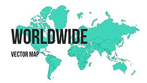
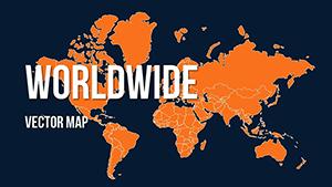
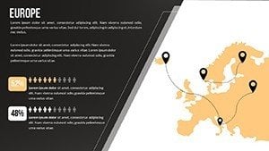
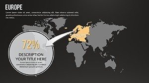
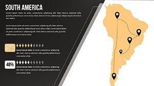
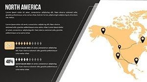
- Dual Themes: Dark and light versions for each major region, enhancing visibility and style.
- Interactive Elements: Add charts and diagrams that respond to your data inputs seamlessly.
- Custom Infographics: Build visuals like heat maps for economic indicators without extra software.
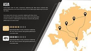
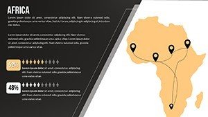
- Comprehensive Coverage: From Africa to Oceania, every continent represented with precision.
These attributes position the template as a trustworthy resource, backed by compatibility with Google Slides for collaborative workflows.
Applications Tailored to Your Needs
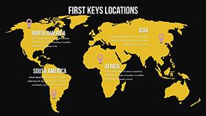
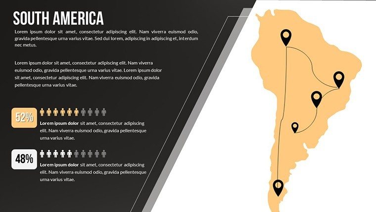
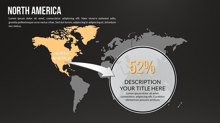
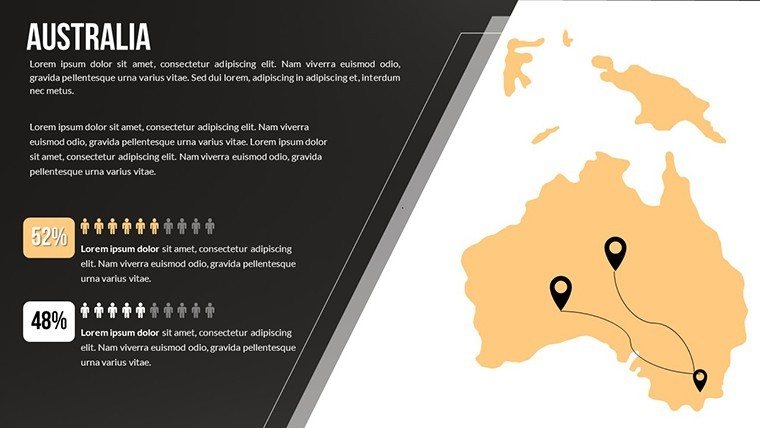
For market analysis, map out competitor landscapes in North America, using infographics to compare sales data. In travel presentations, showcase Australia's outback adventures with annotated routes. Educational uses include geographic studies on South America's biodiversity, with diagrams illustrating ecosystems. A real-world example from a tech firm shows how world maps in quarterly reviews clarified international expansion strategies, leading to informed decisions. Researchers can organize demographic figures straightforwardly, avoiding clutter. This solves the issue of disjointed visuals, instead offering a cohesive package that conveys expertise and fosters audience trust through accurate, engaging content.
Workflow Optimization Tips
- Pick Your Theme: Opt for dark mode for evening webinars or light for daytime classes.
- Layer Information: Start with base maps, then add removable elements like flags or stats.
- Integrate Data: Use PowerPoint's charting tools to embed real-time figures from sources like World Bank.
- Customize Layouts: Rearrange for flow, ensuring logical progression from global to local views.
- Polish and Present: Add transitions for smooth navigation, amplifying your narrative impact.
Drawing from industry pros, these steps ensure presentations that not only inform but also inspire action, mirroring successful TEDx geographic talks.
Superior to Generic Alternatives
Outpace built-in PowerPoint maps with this template's depth - pre-made infographics save design hours, unlike starting blank. Free downloads often restrict edits; here, unlimited modifications mean true ownership. For tourism pros, themed elements like landmark icons add unique flair. LSI integration, such as "global market visualization," boosts online discoverability when shared. Trust its robustness for high-stakes scenarios, where precision matters most. In summary, this template elevates your work from standard to standout, much like how award-winning business pitches use visuals to secure funding.
Don't just present - dominate with maps that matter. Secure this essential tool and watch your ideas take flight across continents.
FAQ
How modifiable are the country maps?
Fully modifiable - change colors, add/remove items, and adjust layouts freely in PowerPoint or Google Slides.
What themes are available?
Both dark and light versions for all regions, suitable for various presentation environments.
Is it compatible with Google Slides?
Yes, upload the .pptx file directly for full functionality in collaborative settings.
Can I include interactive charts?
Absolutely - embed and customize diagrams for data-driven insights.
How soon can I download?
Immediately after purchase via a secure, emailed link.
Are there usage restrictions?
No - use freely for personal or commercial projects post-purchase.