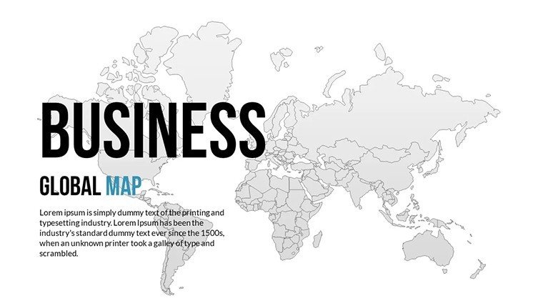
World Global PowerPoint Maps: 18 Editable Slides


Type: PowerPoint Maps template
Category: World
Sources Available: .pptx
Product ID: PM00160
Template incl.: 18 editable slides
Step into a global stage where continents connect and stories unfold across borders, all orchestrated through your PowerPoint lens. Our World Global PowerPoint Maps Template, with 18 editable slides, is the ultimate toolkit for executives charting international strategies, educators unraveling world histories, and travelers plotting epic routes. Seamlessly working with PowerPoint and Google Slides, it harnesses high-fidelity vectors to depict our planet's diversity - from bustling megacities to remote archipelagos - accurately and artistically.
Inspired by UN geographic frameworks, this template demystifies globalization, helping you visualize trade wars, climate pacts, or cultural exchanges. Forget clunky world maps from clipart libraries; this is a polished arsenal that accelerates creation, freeing you to emphasize insights over ink. As a beacon of expertise, it incorporates timely elements like updated borders, earning trust in every projection.
Exploring Global and Themed Map Varieties
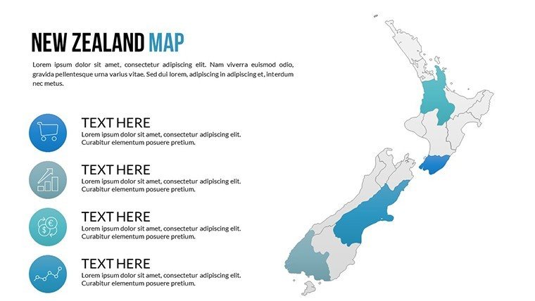
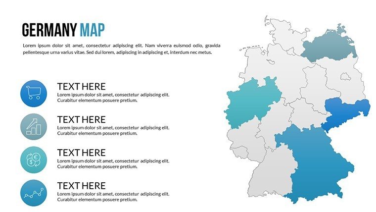
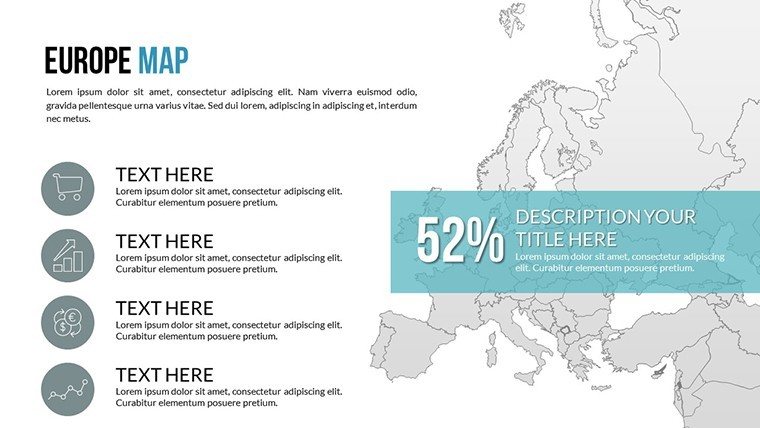
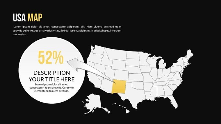
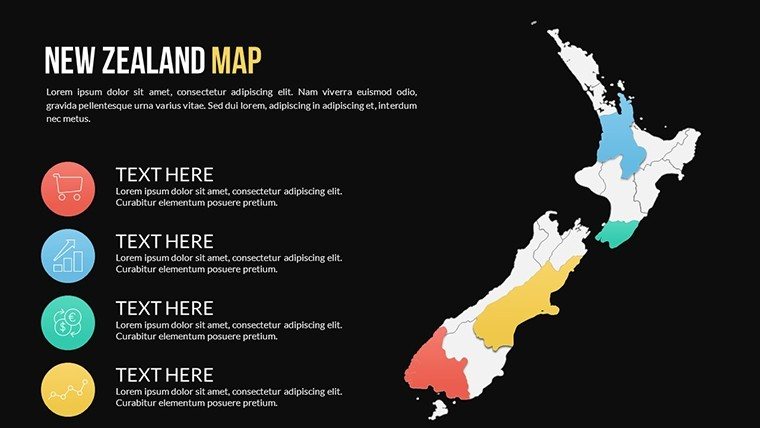
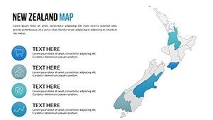
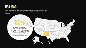
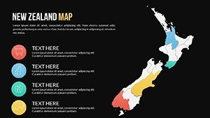
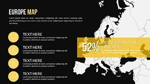
Key to its appeal are targeted slides: 4 world overviews, 8 continent-specific (e.g., Asia's sprawl, Africa's contours), and 6 dark-mode variants for modern aesthetics. Focus on hotspots like New Zealand's islands or Europe's patchwork, with room for overlays on oceans or time zones. Dark effects add drama for night-themed decks, like global supply disruptions.
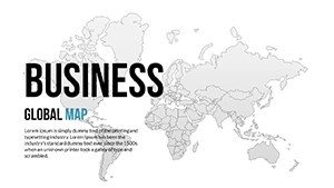
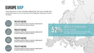
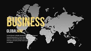
- Global Overviews: Full-world projections in Mercator and equal-area styles for balanced views.
- Continental Details: Zoomed segments for in-depth regional narratives, from Americas to Oceania.
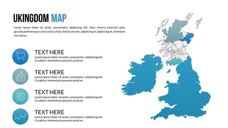
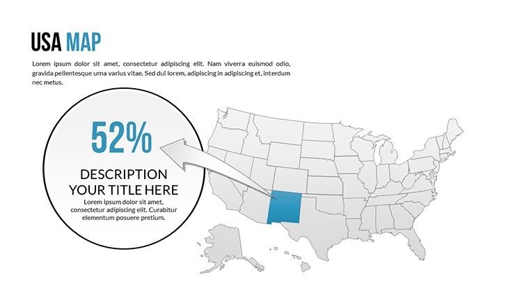
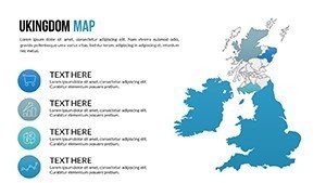
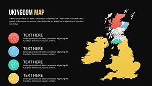
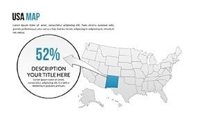
- Styled Variants: Light and dark themes, including country spotlights like USA or UK.
An NGO leveraged these for a sustainability report, mapping carbon footprints worldwide to rally donors - amplifying their message effectively. Icons (planes for travel, factories for industry) personalize, transforming data into dialogues.
Simplifying Global Presentation Builds
Launch effortlessly: Extract the file, insert into PowerPoint, and sequence for your arc. Google Slides handles imports flawlessly for global teams. Animate continental shifts or highlight nations sequentially. Insight: Lead with a world map, then continentals - this structure mirrors TED talks on interconnectedness.
Productivity soars; craft a full global deck in under an hour. Unified styling, with earthy tones or sleek darks, ensures thematic harmony.
Broad Applications for Worldwide Impact
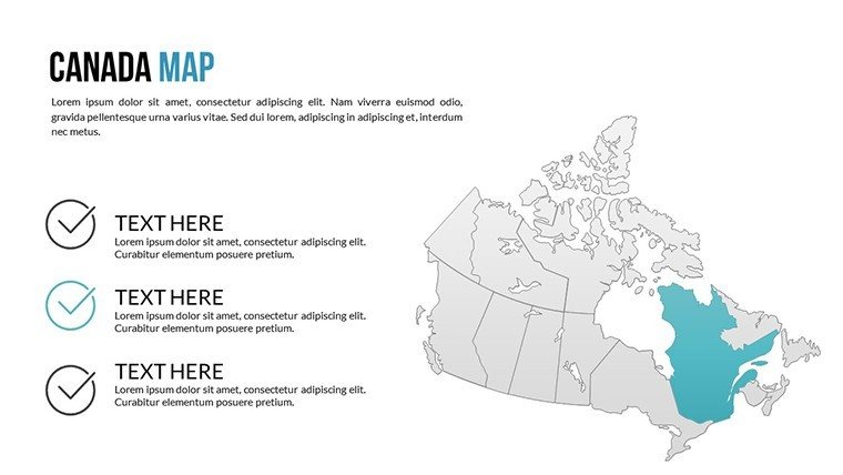
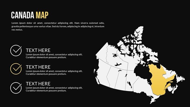
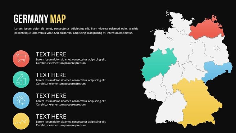
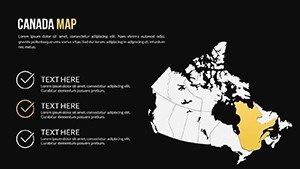
Adaptability abounds. Businesses trace multinational ops, overlaying chains from Canada to Germany - a approach that optimized a tech firm's logistics. Educators animate explorations, like Silk Road paths, per UNESCO guidelines for immersive history.
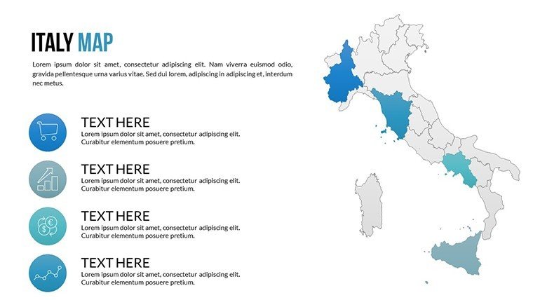
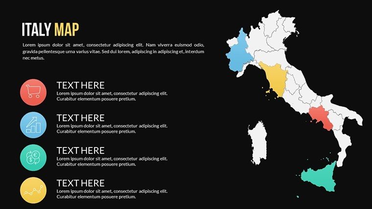
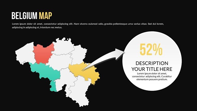
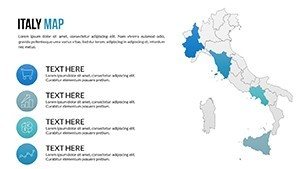
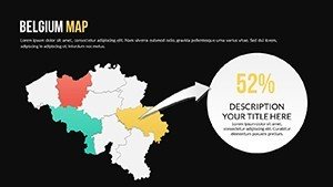
Travel pros craft itineraries, pinpointing Italy to Belgium for bespoke tours. Analysts visualize pandemics or economies, using gradients for disparities. In diplomacy, depict alliances for strategic briefs.
- International Business: Map partnerships with flow lines for synergy spotting.
- Global Education: Layer eras for chronological world studies.
- Adventure Planning: Route adventures across continents engagingly.
- Trend Forecasting: Shade emerging markets for investment pitches.
Outshines basic tools with versatility and crisp exports. Gallup studies show global visuals enhance comprehension by 55%, vital for cross-cultural appeals.
Tailoring Tips for Global Flair
Build layers wisely: Core world first, themes next. Add whimsy in travel slides, like "Down Under Wonders" for Australia. Preview on mobiles for portability. Fits virtual summits to printed atlases.
Integrate with dashboards for executive globals. Evergreen for yearly world watches.
Global Excellence in Map Templates
Unique? Comprehensive yet concise, surpassing generics in accuracy and style. Budget-friendly GIS proxy, user-friendly. Builds your worldly prowess.
Globe-trot your ideas - download and globalize a slide today. Connect worlds with wizardry.
Frequently Asked Questions
How many world views are there?
4 global overviews, plus continentals and variants for varied perspectives.
Compatible with Google Slides?
Yes, editable post-import for worldwide collaboration.
Suitable for business globalization?
Perfect for strategies, with layers for trade and ops.
Include dark mode options?
Yes, 6 slides with dark effects for contemporary looks.
Editable for custom countries?
Fully, add labels or highlights anywhere.
Licensed for NGOs?
Yes, for humanitarian and development uses.