Detailed Finland PowerPoint Maps: PPT Download


Type: PowerPoint Maps template
Category: Europe
Sources Available: .pptx
Product ID: PM00022
Template incl.: 36 editable slides
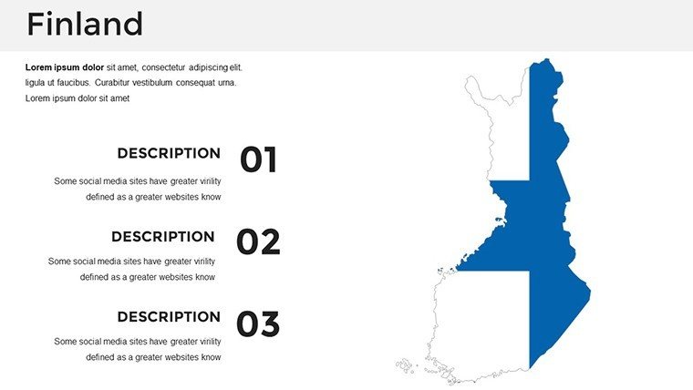
Picture this: You're an architect unveiling a eco-friendly masterplan for Helsinki's waterfront, or a consultant breaking down timber industry trends across Lapland - our Detailed Finland PowerPoint Maps Template makes it effortless with 36 editable slides that capture the Nordic essence. From the archipelagos of the southwest to the Arctic Circle's aurora zones, these maps provide a canvas for your ideas, blending precision geography with creative freedom to engage and persuade.
Crafted with insights from Scandinavian design principles similar to those in Finnish architectural associations, this template tackles the hassle of sourcing accurate visuals and endless tweaks. Instant PPT download means you're up and running fast - customize in PowerPoint or Google Slides to add layers for sustainability metrics or urban sprawl simulations. It's user-centric, focusing on your pain points like maintaining scale in projections or ensuring cultural sensitivity in labels.
Essential Features for Nordic Precision
At its core, this template excels in detail-oriented design, offering slides that go beyond basics to include topographic hints and urban insets. Architects can appreciate the clean vectors that hold up under scrutiny, while analysts value the data-ready frameworks.
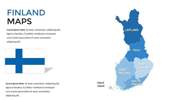
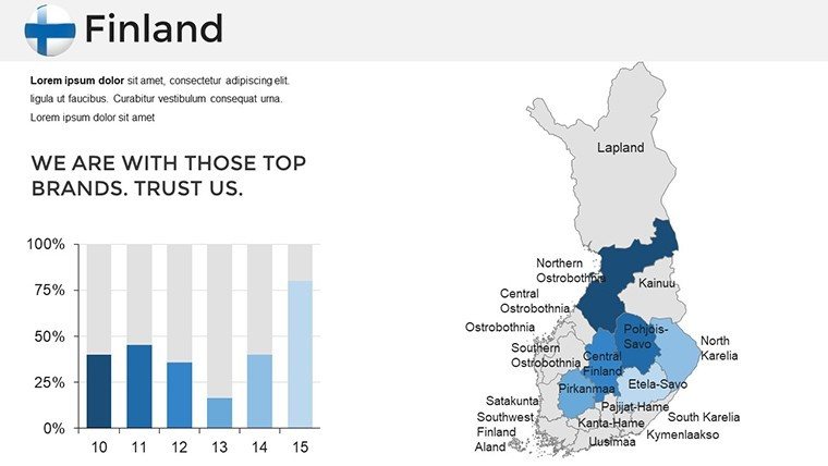
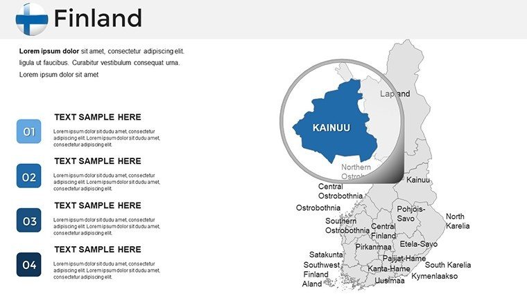
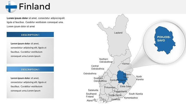
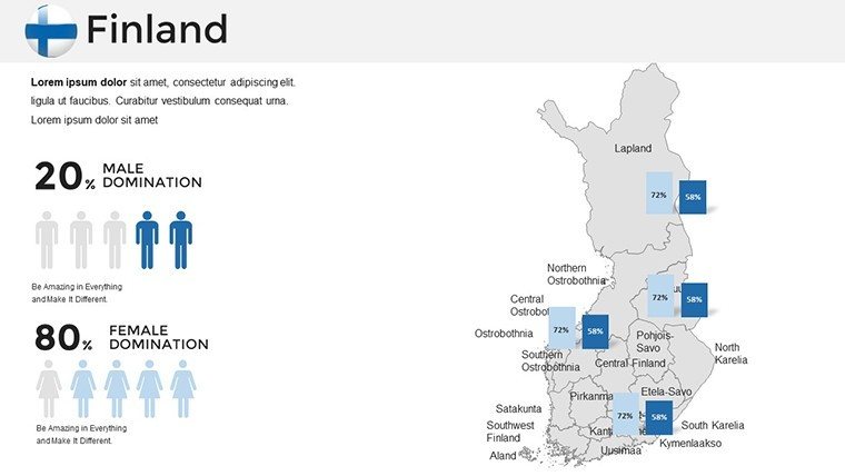
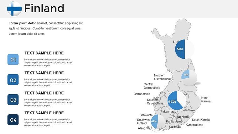
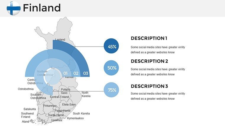
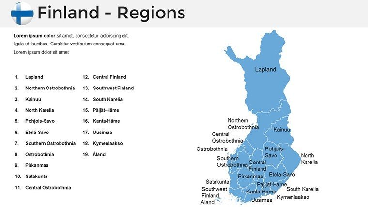
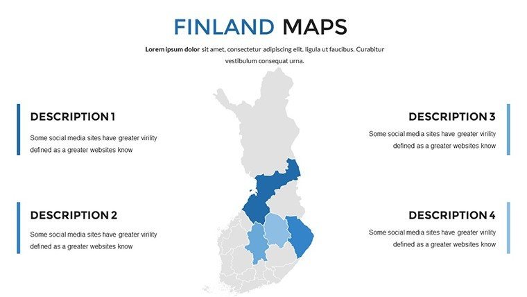
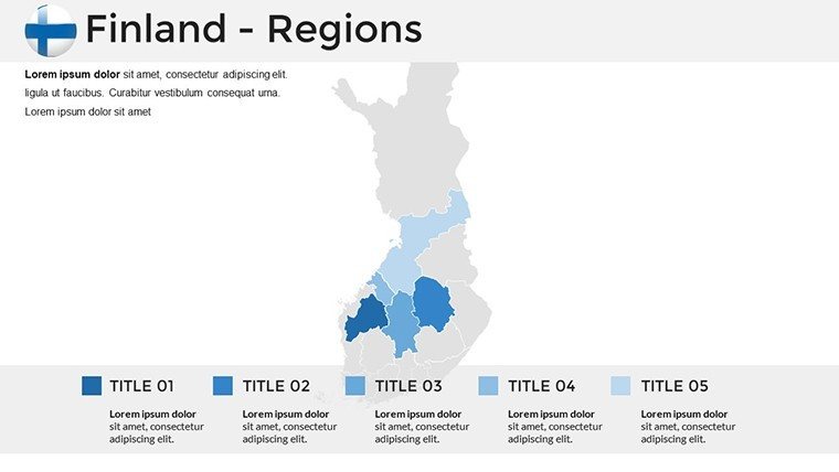
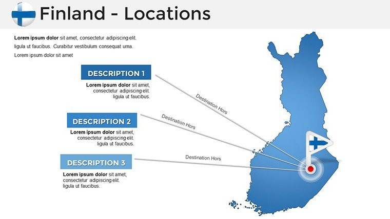
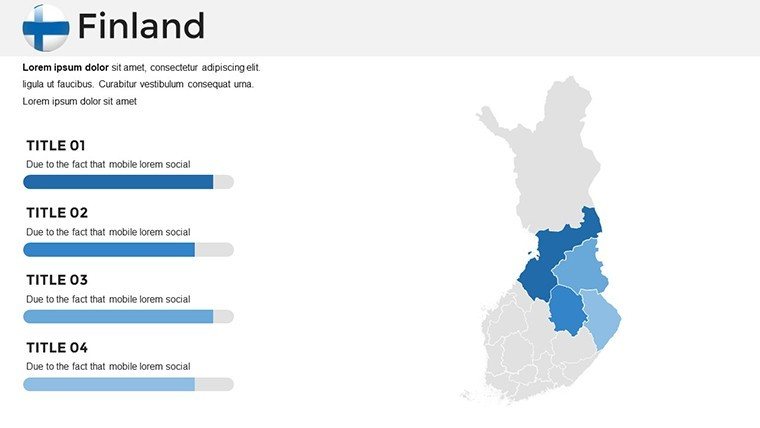
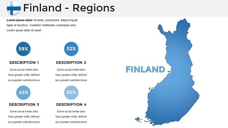
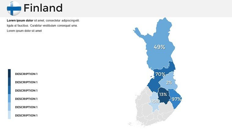
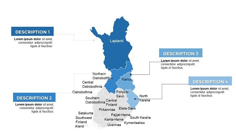
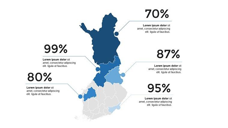
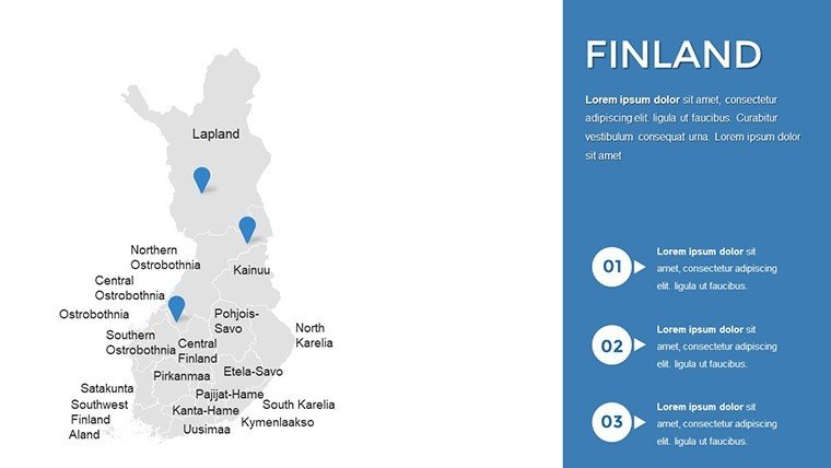
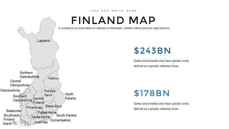
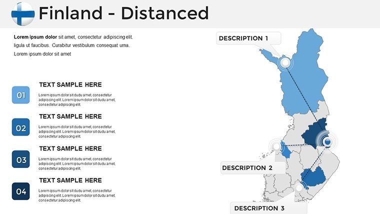
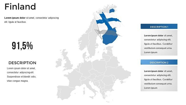
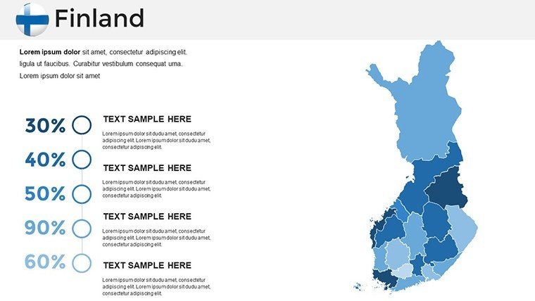
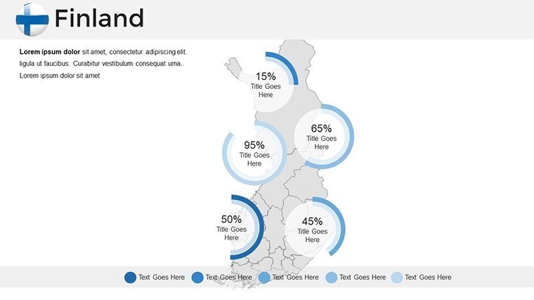
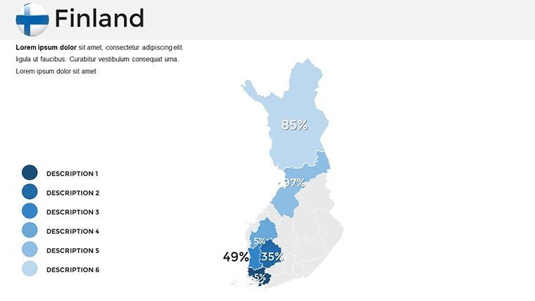
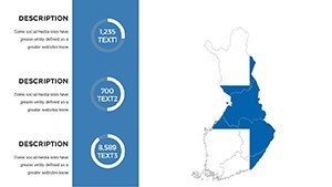
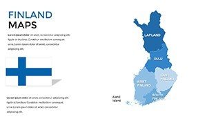
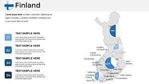
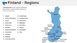
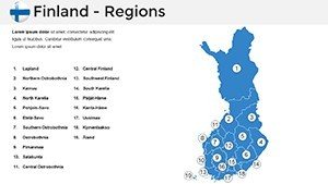
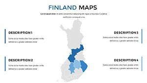
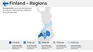
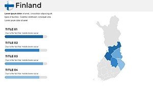
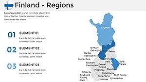
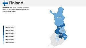
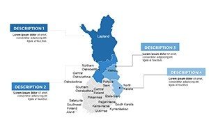
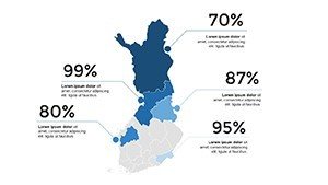
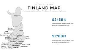
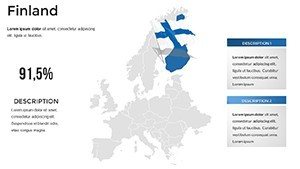
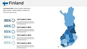
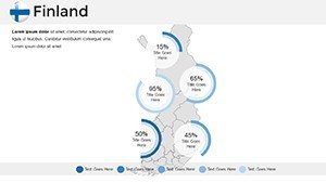
- Comprehensive Coverage: Full Finland outline plus regional splits, like detailed Turku views for maritime project pitches.
- Effortless Customization: Alter layouts, fonts (with Nordic character support), and sizes to fit your vision - think sauna icons for cultural touches.
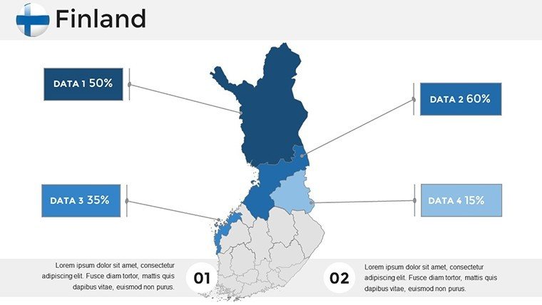
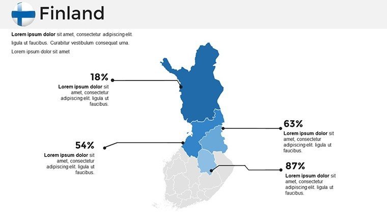
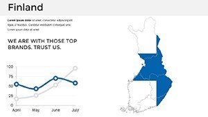
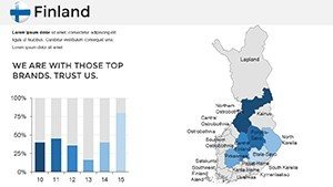
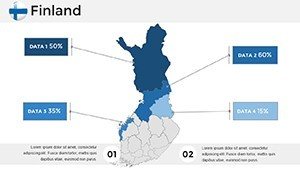
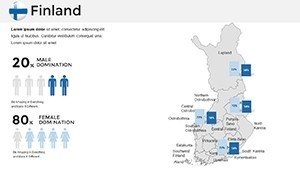
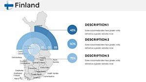
- Diverse Slide Variety: Mix of charts, graphs, and photo placeholders to integrate stats on renewable energy or forest management.
- Accessible Interface: No steep learning curve; ideal for quick prototypes in team settings.
- Broad Compatibility: Optimized for PowerPoint and Google Slides, with animation presets for smooth transitions.
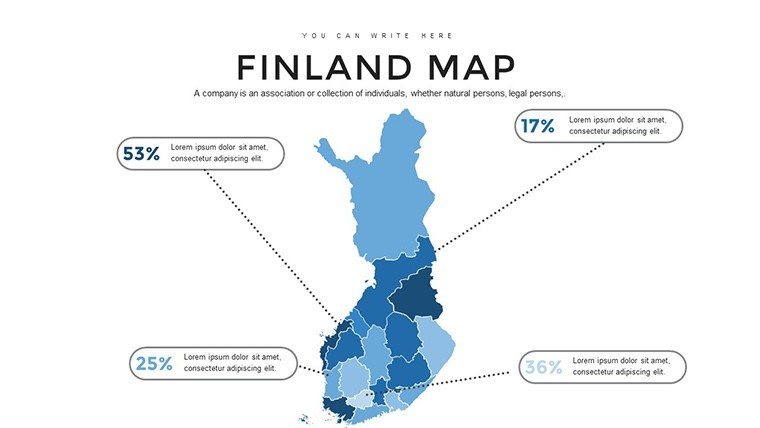
Standing out from stock options, it incorporates real Finnish geographic fidelity, as seen in a case where an Oulu-based firm used Slide 20 to map wind farm potentials, securing green funding. This builds your by demonstrating informed, location-specific expertise.
Targeted Applications Across Industries
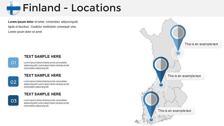
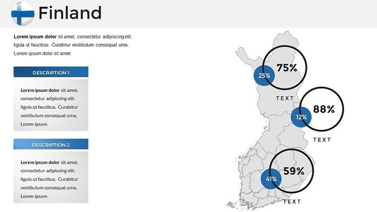
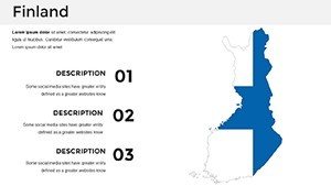
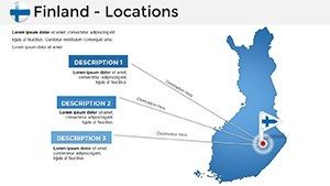
For company pros, Slide 5's national map plots sales routes through Tampere's industrial heart, syncing with growth forecasts. Educators transform lectures on Viking heritage using Slide 12's coastal details, adding interactive quizzes. Marketers craft campaigns for Helsinki's tech scene on Slide 30, with vibrant overlays that pop.
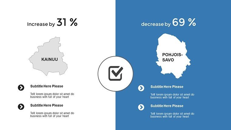
Consultants convey insights on EU integrations via Slide 25, layering policy impacts. In architecture, use the template for site assessments in Rovaniemi, visualizing reindeer migration paths alongside proposed builds for holistic planning.
- Customization Roadmap: Load base slides, embed datasets from tools like Excel, then personalize with thematic elements.
- Expert Advice: Use subtle gradients for elevation in designs, inspired by Finnish modernism's minimalism.
- Optimization Tricks: Embed hyperlinks to external resources for deeper dives into regional case studies.
This template doesn't just display - it dialogues with your audience, turning maps into milestones of understanding. From boardrooms to classrooms, it amplifies your narrative with authentic Nordic charm.
Edges Over Standard Templates
Verified against official Finnish sources, it avoids inaccuracies plaguing free maps, offering 36 reusable slides at $40 for long-term value in diverse scenarios like forestry reports or tourism blueprints.
Unlock the power of place in your work. Get the Detailed Finland PowerPoint Maps download without delay and navigate success with style. Engage, educate, and excel - your Nordic story starts here.
Frequently Asked Questions
Are the Finland maps suitable for business strategies?
Yes, with editable regions for market mapping, like overlaying logistics in Vaasa for strategic overviews.
Does it support non-design users?
Absolutely - user-friendly tools make it accessible for quick, professional results in PowerPoint.
Can I add charts to the maps?
Indeed, integrate graphs for data like population shifts in Espoo seamlessly.
Is Google Slides compatibility included?
Full support for collaborative edits on Finland-themed presentations.
How detailed are the regional slides?
Highly detailed, covering cities and features for precise architecture or educational use.