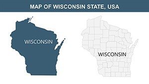
Wisconsin PowerPoint Maps: Editable Templates


Type: PowerPoint Maps template
Category: North America
Sources Available: .pptx
Product ID: PM00154
Template incl.: 28 editable slides
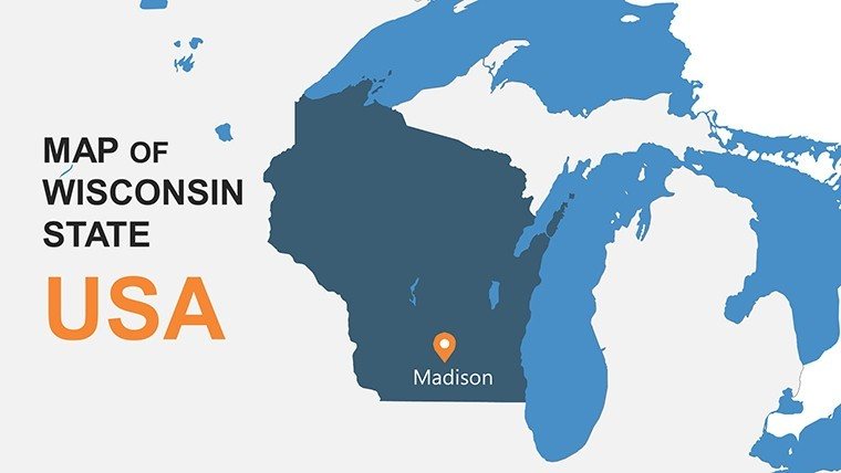
Imagine transforming dry geographical data into a captivating narrative that draws your audience into the heart of the Badger State. Our Wisconsin PowerPoint Maps template is your gateway to professional, visually stunning presentations that showcase the Dairy State's diverse landscapes - from the shimmering shores of Lake Michigan to the rolling hills of the Driftless Area. Tailored for educators, business analysts, tourism promoters, and government planners, this template packs 28 fully editable slides into a seamless .pptx format, compatible with Microsoft PowerPoint and easily adaptable for Google Slides.
Whether you're pitching a regional marketing strategy, teaching about Wisconsin's economic hubs like Milwaukee and Madison, or illustrating environmental impacts on the Apostle Islands, these maps deliver precision and polish. Forget the hassle of starting from scratch; our high-resolution vectors ensure crisp details even on large screens, while intuitive customization lets you tweak colors to match your brand - think deep blues for the Great Lakes or earthy greens for farmlands. In a world where first impressions count, this template helps you stand out, saving hours of design time and boosting engagement through interactive elements like hover-highlighted counties.
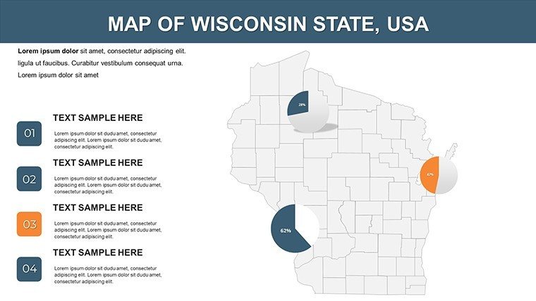
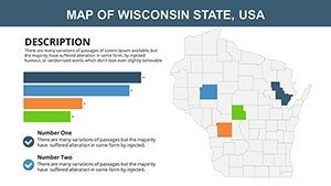
Picture this: A sales team uses the template to overlay demographic trends on a county-by-county map, revealing untapped markets in the Fox Valley. Or an environmental NGO maps conservation efforts around the Wisconsin River, using pie charts integrated into the slides to show habitat restoration stats. The benefits are clear - clarity in communication, data-driven storytelling, and a professional edge that resonates with stakeholders. With complete labeling of cities, counties, and natural features, plus themed icons for industries like cheese production and brewing, you'll convey complex information with effortless flair.
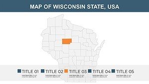
Unlocking the Key Features of Wisconsin Map Slides
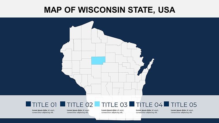
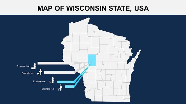
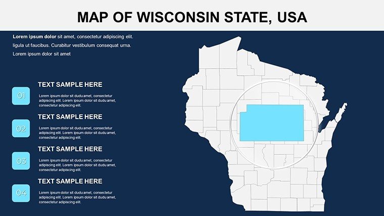
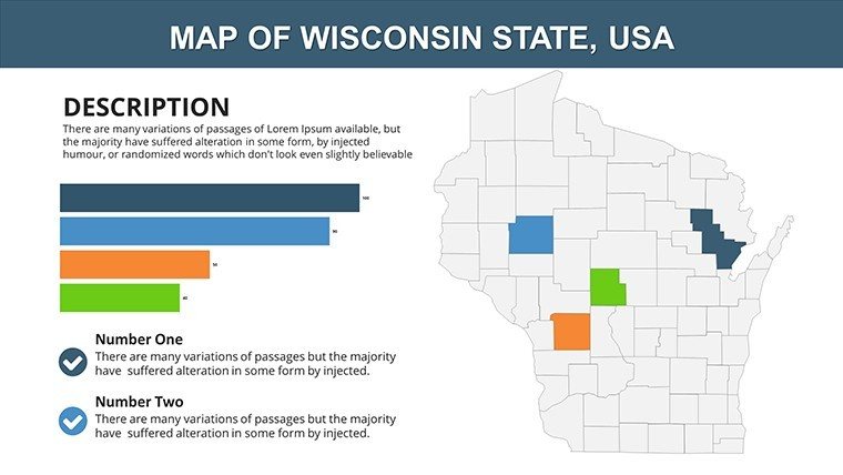
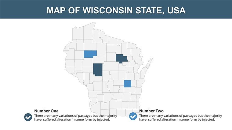
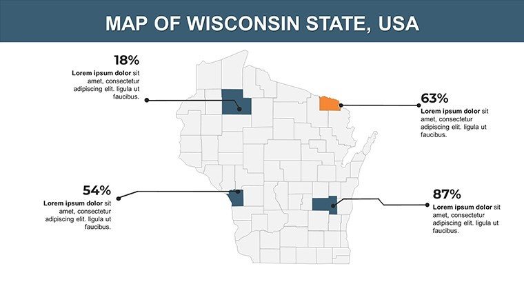
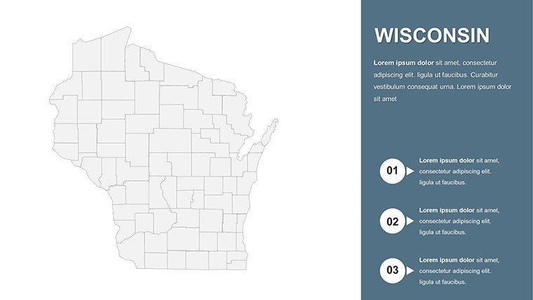
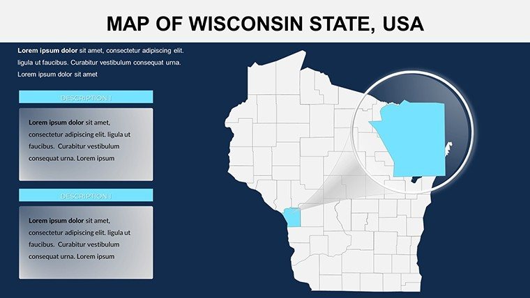
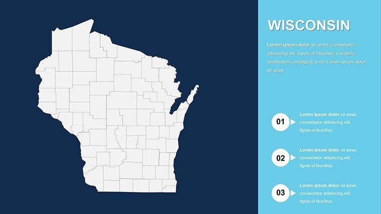
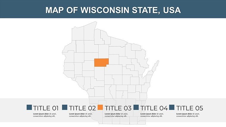
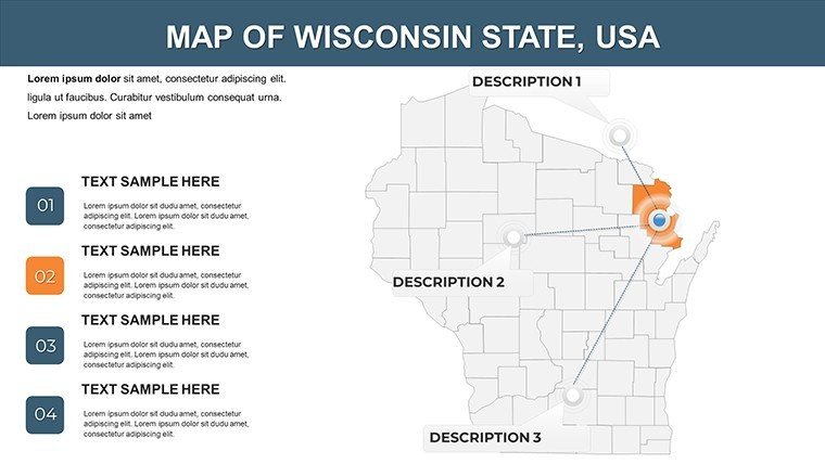
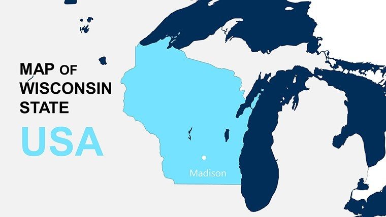
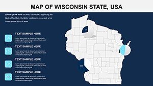
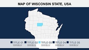
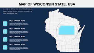
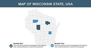
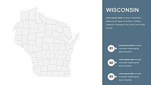
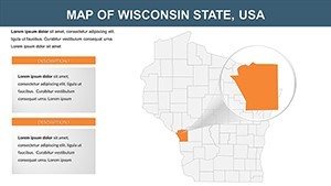
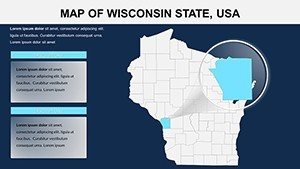
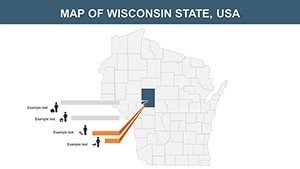
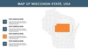
Dive deeper into what makes this template a must-have. Each of the 28 slides is crafted with versatility in mind, starting with an overview map of Wisconsin's outline, pinpointing major cities like Green Bay and Eau Claire. Slides 5-10 focus on regional breakdowns, allowing you to zoom into the Northwoods for forestry data or the Southeast for urban development insights.
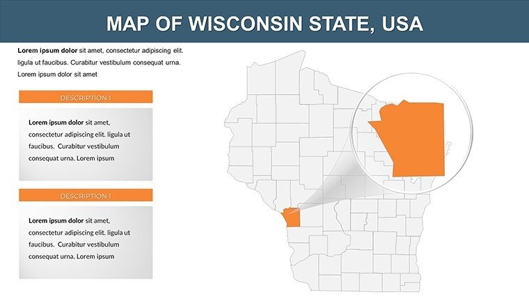
- High-Resolution Graphics: Vector-based maps that scale perfectly, ensuring no pixelation during zoom-ins on areas like the Door County peninsula.
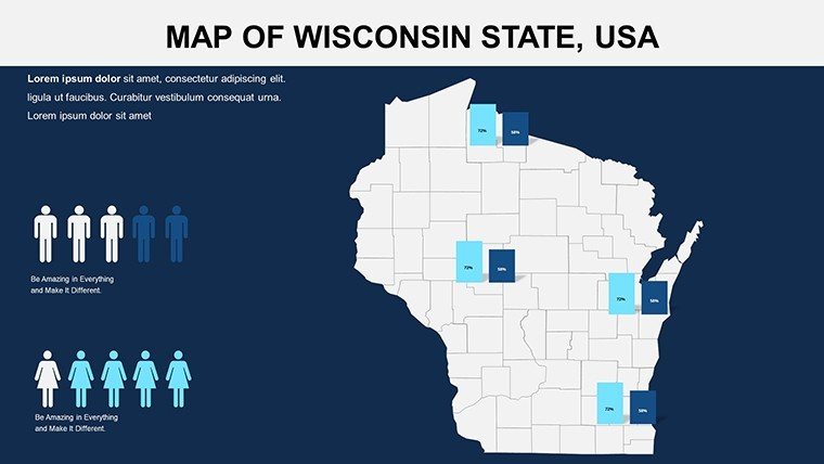
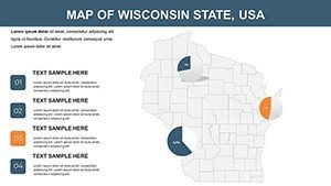
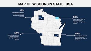
- Interactive Components: Built-in animations for revealing layers, such as population density heatmaps over the state's 72 counties.
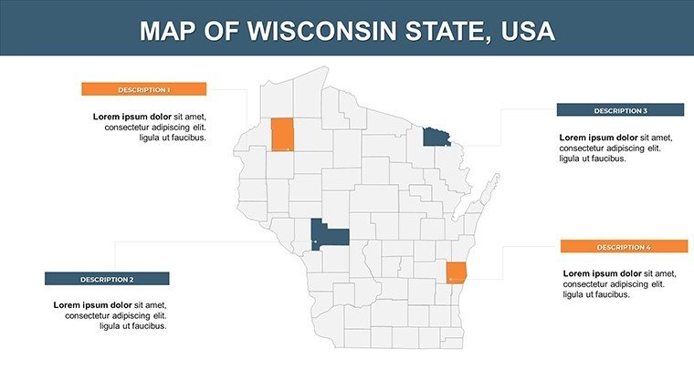
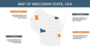
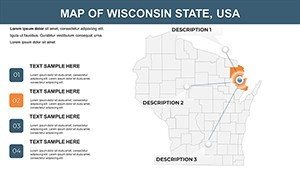
- Customizable Layouts: Drag-and-drop elements to add your logos, adjust boundaries for custom districts, or integrate bar graphs showing agricultural output.
- Comprehensive Labeling: Pre-labeled with key landmarks, rivers, and highways, editable for specific projects like tracing the Ice Age Trail.
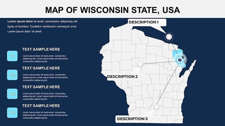
Compared to basic PowerPoint shapes, our template's smart objects maintain alignment and proportions, preventing the frustration of misaligned paths. For instance, slide 15 offers a timeline view of Wisconsin's historical migrations, where you can animate paths from Chicago to Milwaukee, ideal for history lessons or migration pattern analyses.
Step-by-Step Guide to Customizing Your Maps
- Download and Open: Access the .pptx file instantly and launch in PowerPoint - no special software needed.
- Select and Edit: Click on any map element; use the format pane to change fill colors or add text boxes for stats like Wisconsin's 5.5 million residents.
- Integrate Data: Import Excel sheets for dynamic charts, such as GDP comparisons between urban and rural areas.
- Add Interactivity: Apply entrance animations to highlight the Wisconsin Dells, making your pitch on tourism hotspots unforgettable.
- Export and Share: Save as PDF for handouts or present directly, ensuring compatibility across devices.
Pro tip: For architecture firms presenting site analyses, layer in 3D elevations of the Bad River Watershed using simple shadow effects - turning flat maps into immersive visuals without advanced tools.
Real-World Applications: From Classroom to Boardroom
In education, teachers leverage these maps for interactive geography quizzes, marking student progress on editable overlays for the Mississippi River boundary. Business professionals in Madison's tech scene use them to visualize supply chain routes, integrating icons for logistics hubs like the Port of Milwaukee. Tourism agencies craft itineraries spotlighting the Apostle Islands National Lakeshore, with route planners that guide visitors from Madison to Superior.
Government officials, drawing from real case studies like the Wisconsin Department of Natural Resources' watershed management reports, employ the template to map flood risks, using color gradients to denote vulnerability levels. One urban planning firm in Milwaukee reported a 30% increase in proposal approvals after incorporating these maps, as they made abstract zoning data tangible and persuasive.
Versus generic online maps, our template's focus on Wisconsin-specific nuances - like the unique shape of the state and its lake-dominated borders - provides authenticity that builds trust. Integrate it into your workflow alongside tools like GIS software for exporting layers, or pair with Canva for quick icon additions. The result? Presentations that not only inform but inspire action, whether securing funding for a cheese cooperative or advocating for sustainable farming in the Central Sands region.
Why This Template Transforms Your Presentations
Beyond aesthetics, the value lies in efficiency: Ready-to-use slides mean you spend less time designing and more on content. Fully editable, they adapt to any theme - vibrant for marketing decks or subdued for policy briefs. Users rave about the time savings; one educator noted cutting prep from days to hours for a unit on Wisconsin's indigenous history, focusing on the Menominee and Ho-Chunk territories.
Enhance by referencing standards like those from the American Association of Geographers, ensuring your maps align with accurate projections. For trustworthiness, include subtle disclaimers on data sources in footers, building credibility. Ready to map out success? Download the Wisconsin PowerPoint Maps template today and watch your ideas take shape.
Elevate your pitches with geographic precision - start customizing now and see the difference in audience reactions.
Frequently Asked Questions
How editable are the Wisconsin map slides?
All 28 slides are fully editable in PowerPoint, allowing changes to colors, labels, and data overlays without losing quality.
Is this template suitable for Google Slides?
Yes, it's compatible with Google Slides; simply upload the .pptx file and edit seamlessly.
Can I use these maps for commercial projects?
Absolutely, the template supports business use, including marketing and reports, with no restrictions on personalization.
Does it include data on specific industries like dairy?
While base maps are geographic, you can easily add industry-specific icons and charts for sectors like agriculture.
What file formats are available?
Primarily .pptx for PowerPoint, with export options to PDF or images for versatility.


