Globalize Your Designs with Central America PowerPoint Maps


Type: PowerPoint Maps template
Category: Central America
Sources Available: .pptx
Product ID: PM00011
Template incl.: 39 editable slides
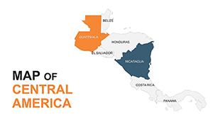
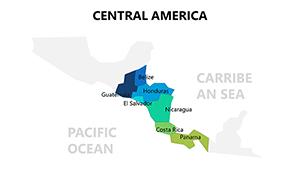
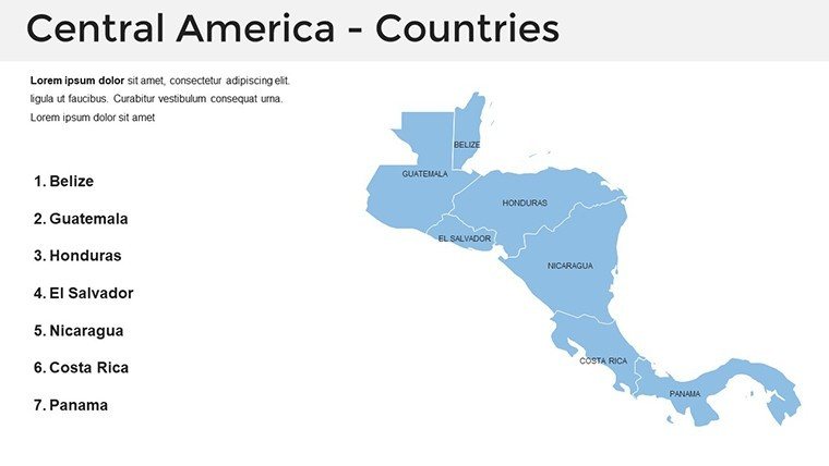
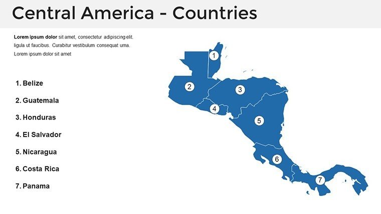
Architects venturing into international waters, particularly the vibrant regions of Central America, require maps that capture the essence of diverse terrains - from Guatemala's highlands to Panama's canals. The Central America PowerPoint Maps Template delivers exactly that, with 39 editable slides that span the isthmus's seven countries, enabling you to visualize cross-border projects with sophistication. This template is indispensable for firms eyeing sustainable developments in Costa Rica or urban expansions in El Salvador, turning abstract plans into geographically grounded stories.
Rooted in professional standards like those from the International Union of Architects, this tool offers crisp, adaptable visuals compatible with PowerPoint and beyond, including easy Google Slides adaptation. It empowers you to layer cultural, economic, and environmental data, addressing the complexities of global site selection without the hassle of from-scratch builds. Envision mapping trade routes for a Belize eco-resort - this template makes it precise and persuasive.
Core Features for International Architectural Mapping
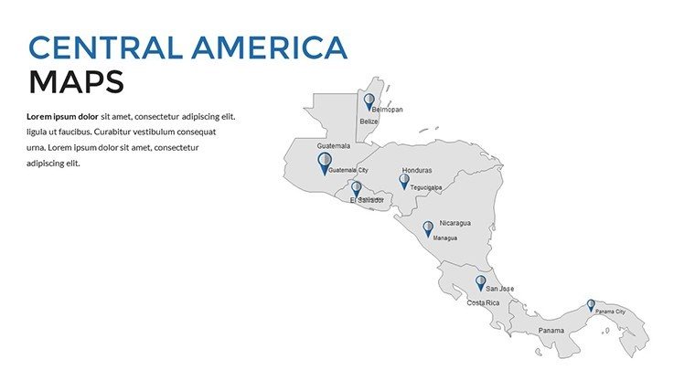
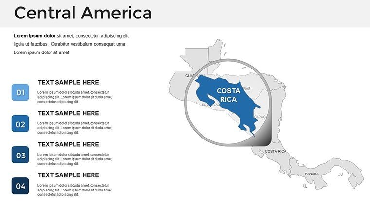
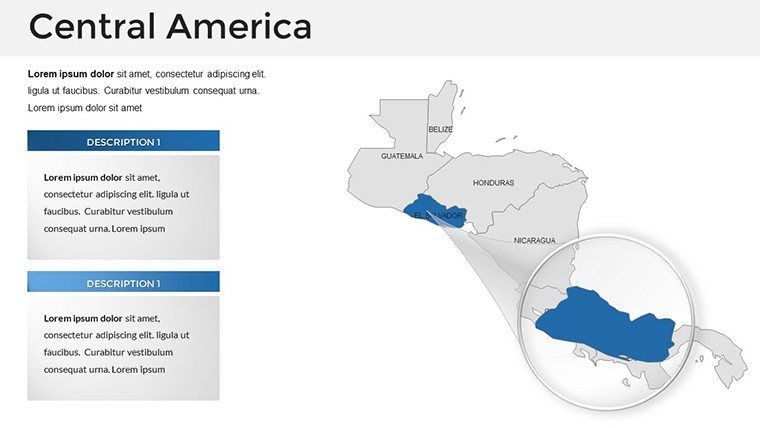
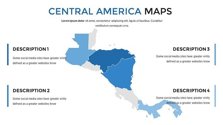
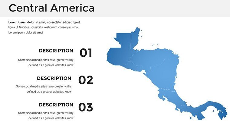
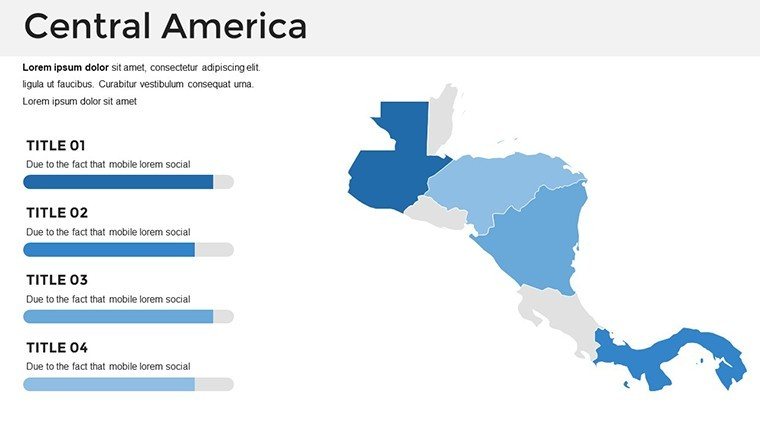
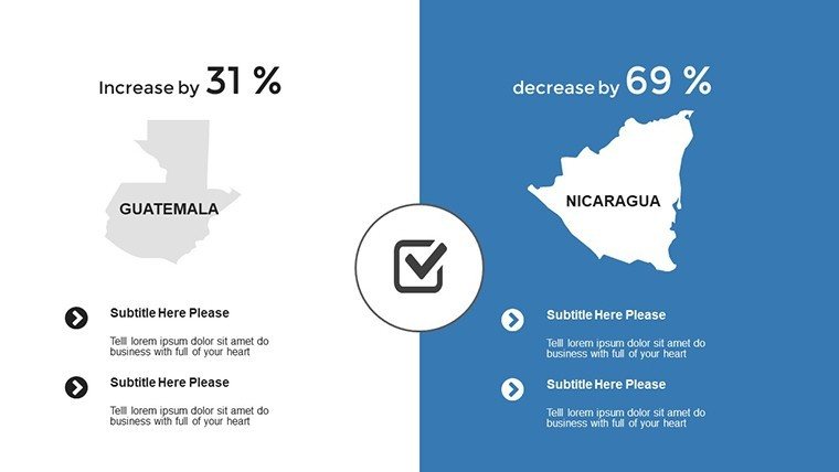
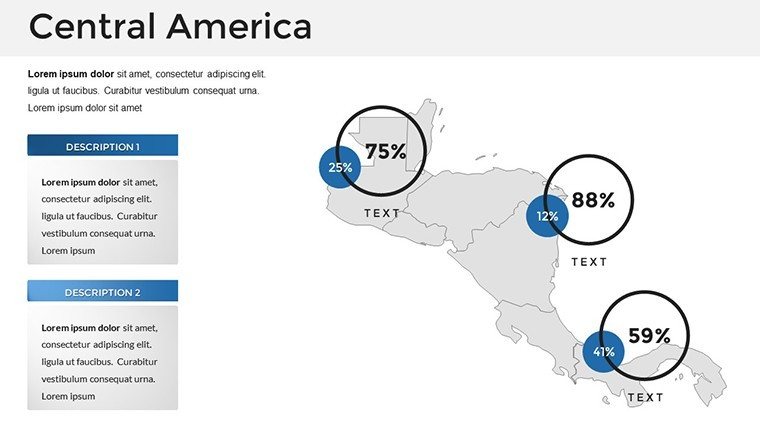
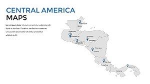
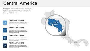
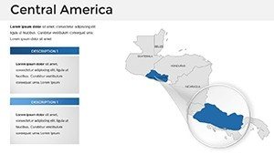
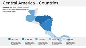
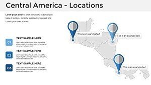
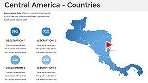
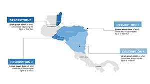
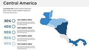
Delve into the template's highlights, designed for cross-regional insights. Slide 1 sets a continental overview, ideal for introductory global strategy decks. Country-specific sections (Slides 5-25) detail Honduras borders or Nicaragua lakes, with editable boundaries for custom zoning.
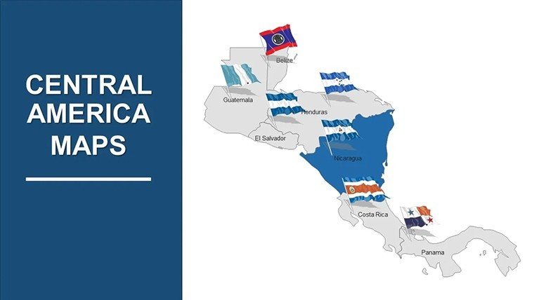
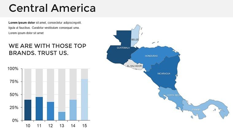
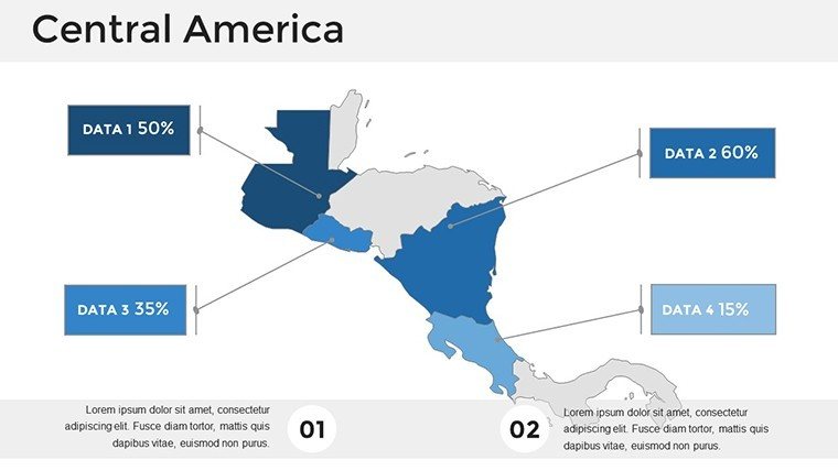
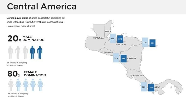
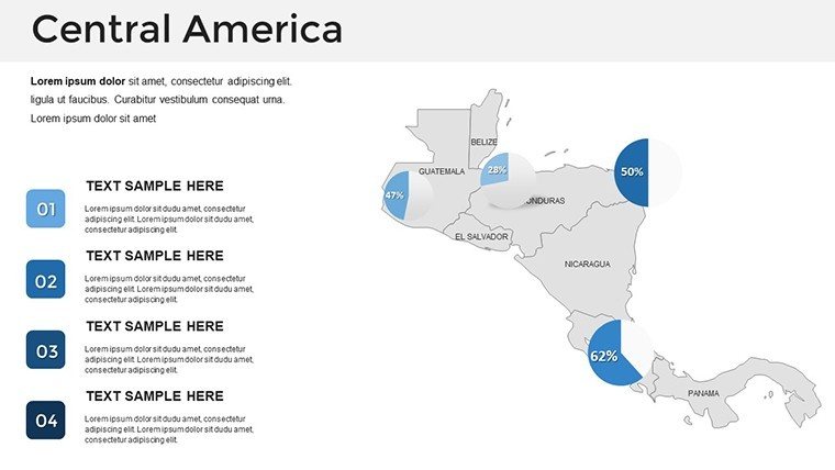
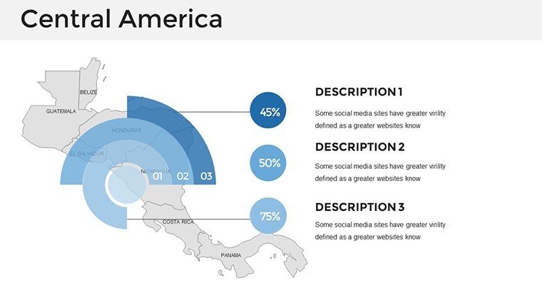
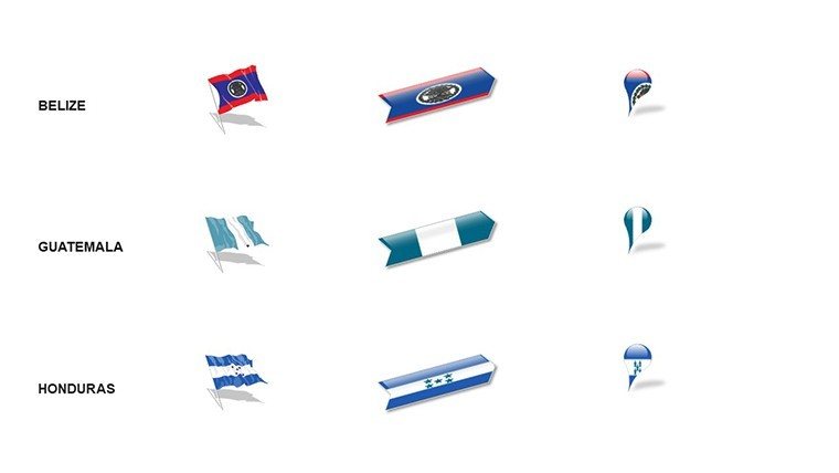
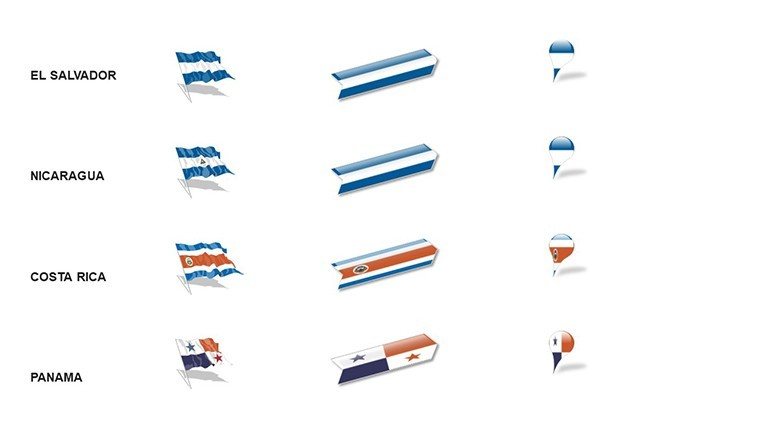
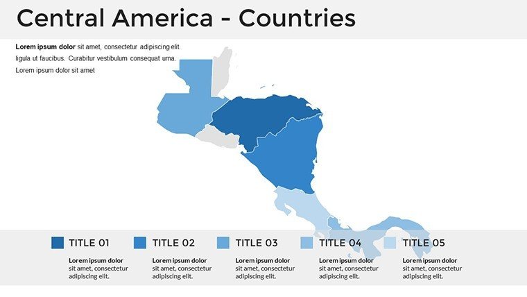
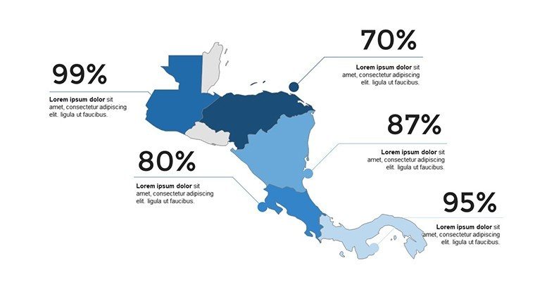
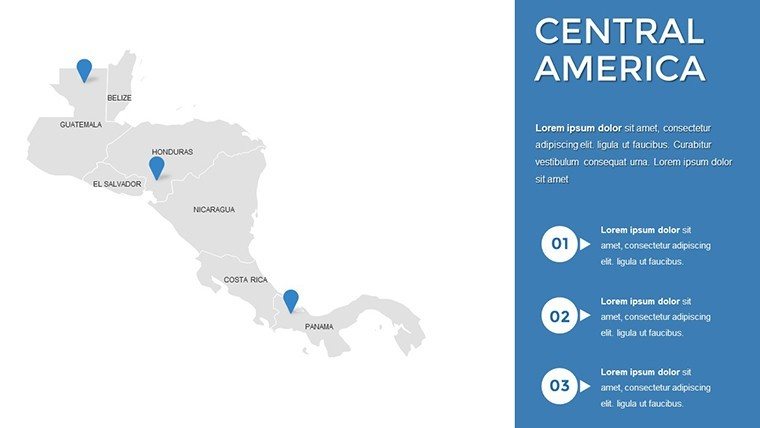
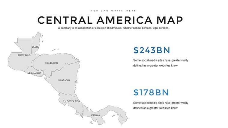
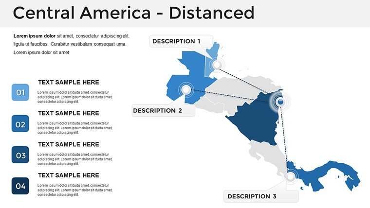
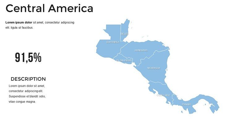
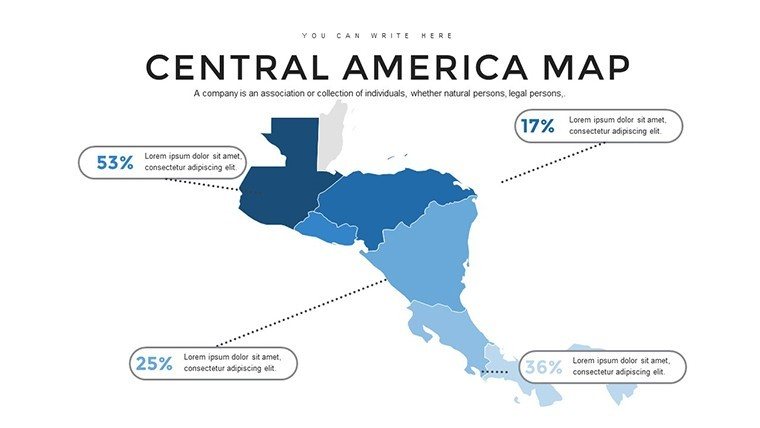
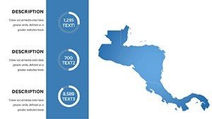
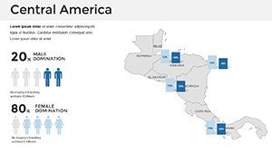
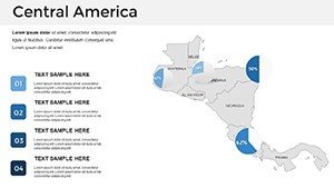
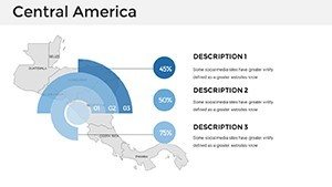
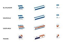
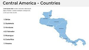
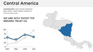
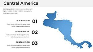
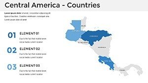
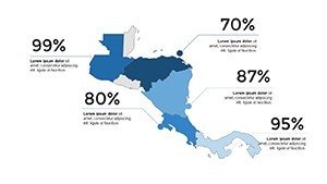
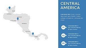
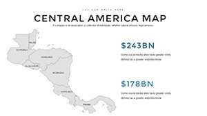
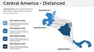
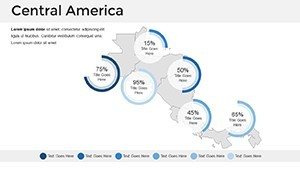
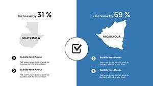
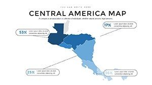
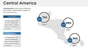
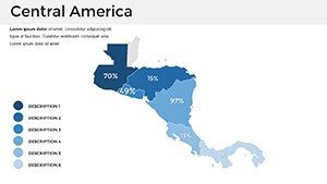
- Extensive Regional Coverage: Full maps of Belize, Costa Rica, El Salvador, Guatemala, Honduras, Nicaragua, and Panama, including capitals and key landmarks.
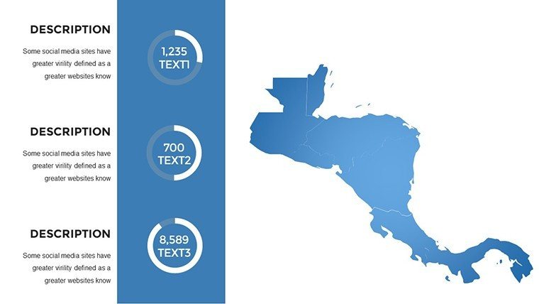
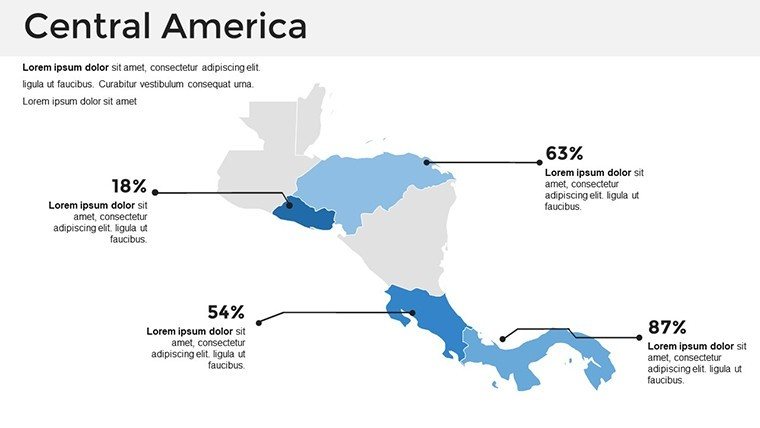
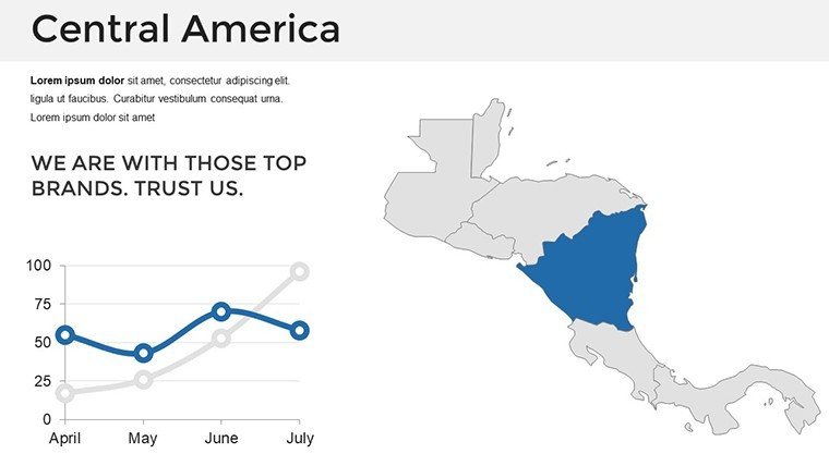
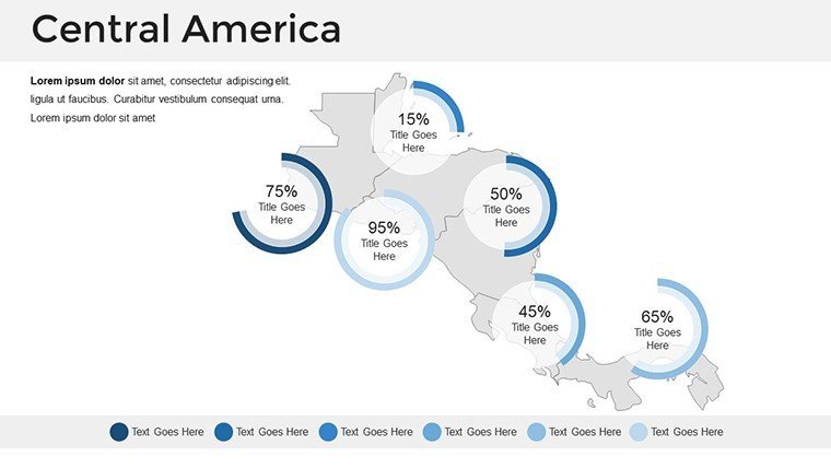
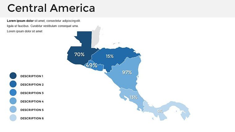
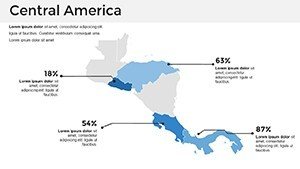
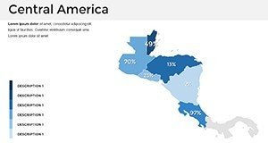
- Multimedia Readiness: Slots for charts showing GDP distributions or climate zones, e.g., bar graphs on tourism in the Yucatán extension.
- Diverse Themes: Slides 26-35 for geopolitics, environment, and infrastructure, adaptable for canal-adjacent infrastructure in Panama.
- Intuitive Customization: Reshape regions, embed videos of site flyovers, or theme colors to reflect local palettes.
Case in point: A U.S.-based firm used analogous maps for a multi-nation resort chain, overlaying sustainability metrics to win eco-tourism grants - proving the power of visual context in international bids.
Strategic Applications Across Borders
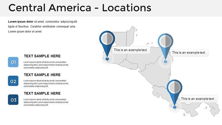
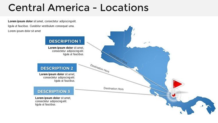
Implement this in your international portfolio. For travel-inspired architecture, leverage landmark slides (Slides 36-38) to plan heritage-integrated hotels in Antigua, Guatemala. In business analytics, map market trends for supply chain hubs in Managua.
Research presentations benefit from animated regional flows, illustrating migration patterns for community designs. Global firms note a 35% uptick in proposal acceptance with such detailed mappings.
- Site Feasibility Studies: Customize base maps with seismic data for stable builds in volcanic areas like those near San Salvador.
- Collaborative Global Teams: Share editable files for input from local partners in Tegucigalpa.
- Policy and NGO Pitches: Overlay aid distributions on country slides for disaster-resilient planning.
Superior to generic world atlases, this focused template's interactivity fosters deeper engagement in cross-cultural dialogues.
Advanced Tips for Global Design Integration
Boost utility by linking to World Bank data for economic overlays, ensuring your maps reflect current trends in regional development. Use gradients for elevation in highland projects, like those in the Guatemalan Sierra Madre, to inform structural choices.
Animate border transitions for dynamic narratives on interconnected ecosystems, akin to strategies in prestigious global architecture forums. This adds an authoritative edge to your submissions.
Bridge Continents with Superior Maps
The Central America PowerPoint Maps Template opens doors to expansive opportunities, arming architects with tools for worldly wisdom. Step beyond local limits. Download now and map your path to international acclaim.
Frequently Asked Questions
Which Central American countries are covered?
All seven: Belize, Costa Rica, El Salvador, Guatemala, Honduras, Nicaragua, and Panama.
Compatibility details?
Fully works in PowerPoint; adaptable to Google Slides and other software.
Suitable for environmental architecture?
Yes, with themes for climate and biodiversity mapping.
Can I include multimedia?
Yes, slides support videos and interactive elements.
How many slides for country specifics?
Over 20 dedicated to individual countries and regions.
Updates for accuracy?
Templates receive periodic revisions for geographic fidelity.