Master Washington State Visuals with This PowerPoint Maps Template


Type: PowerPoint Maps template
Category: North America
Sources Available: .pptx
Product ID: PM00152
Template incl.: 28 editable slides
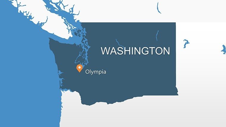
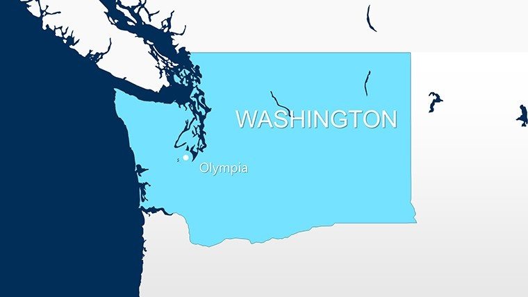
For architects navigating the diverse landscapes of Washington State, from Seattle's bustling urban core to Spokane's expansive plains, effective mapping is crucial. Enter the Washington USA PowerPoint Maps Template, a powerhouse of 28 editable slides tailored to bring geographic precision to your presentations. This isn't your average map pack; it's engineered for professionals who blend design innovation with data intelligence, helping you illustrate everything from waterfront developments in Tacoma to eco-zones in Olympia.
What sets this apart in the architectural realm? With rising demands for sustainable, location-specific designs per AIA guidelines, this template provides vector-sharp maps that resist pixelation during edits. Compatible with PowerPoint across versions like 2016 and 365, it supports seamless integration into your workflow, whether solo drafting or team brainstorming. Envision overlaying seismic risk layers on a Puget Sound map for a resilient high-rise proposal - this tool makes it straightforward, saving you from tedious recreations and letting creativity shine.
Standout Features for Design Professionals
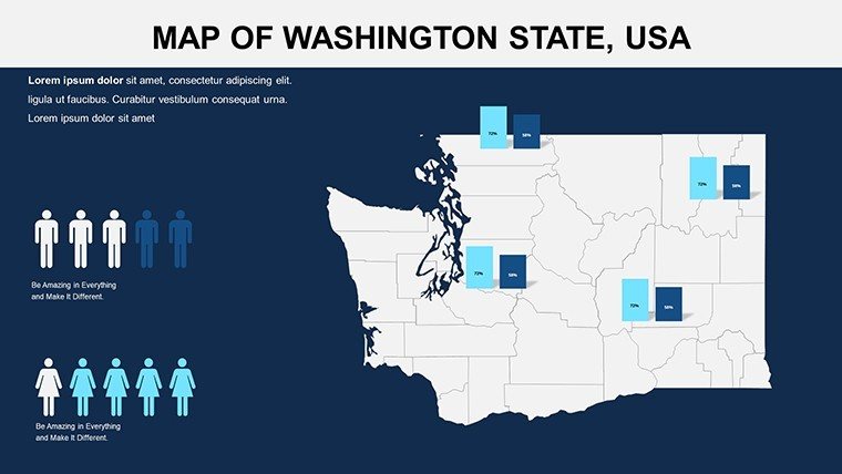
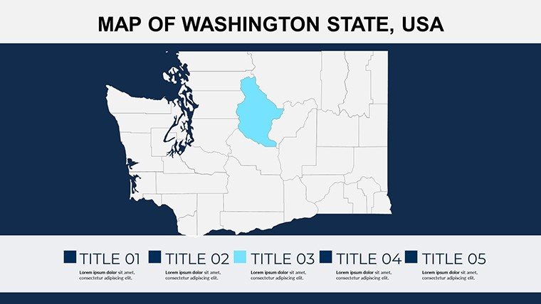
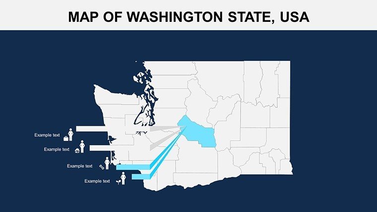
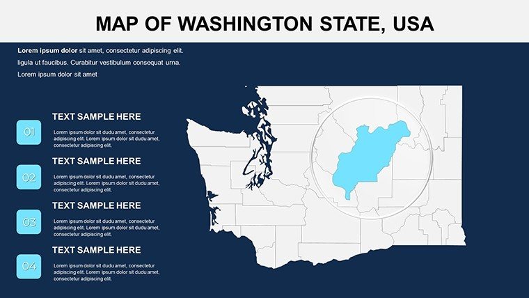
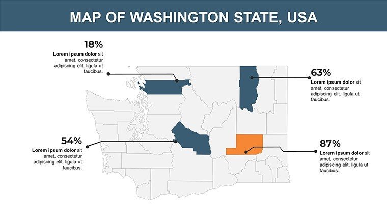
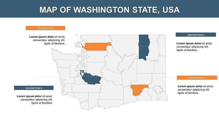
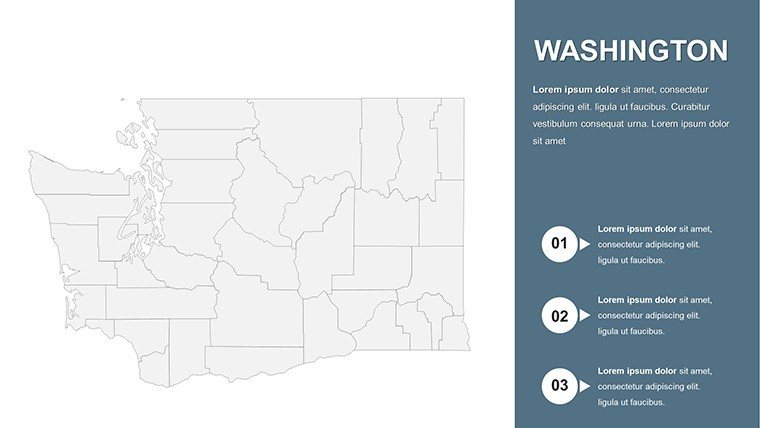
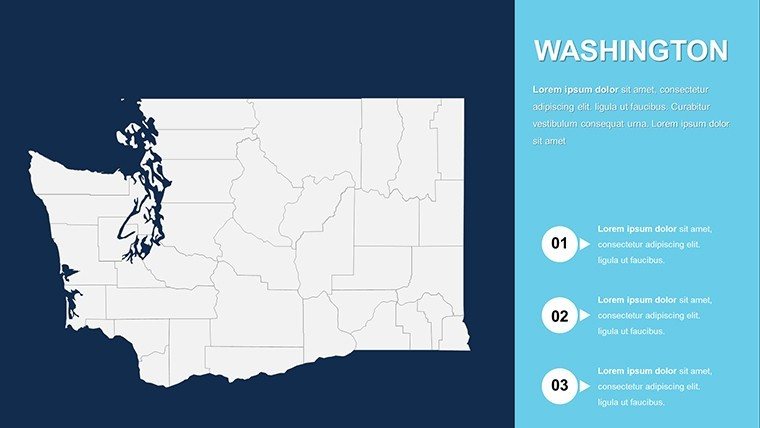
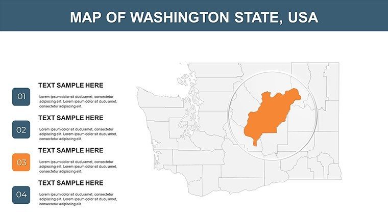
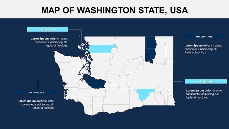
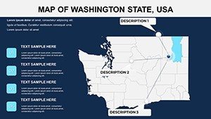
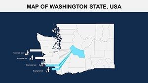
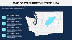
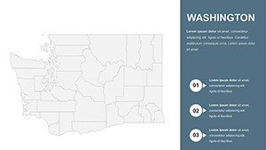
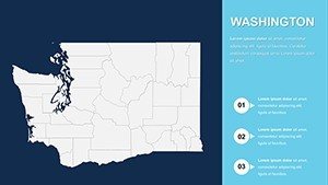
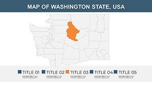
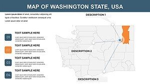
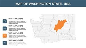
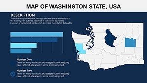
Explore the template's core strengths, each slide optimized for architectural storytelling. Slide 1 offers a panoramic state overview, ideal for introductory slides in RFP responses. Delve into county details on Slides 6-12, where King County's urban sprawl can be customized to spotlight transit-oriented developments.
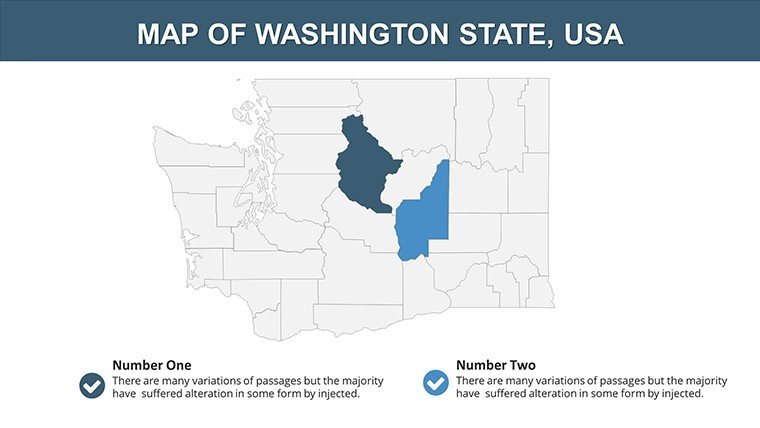
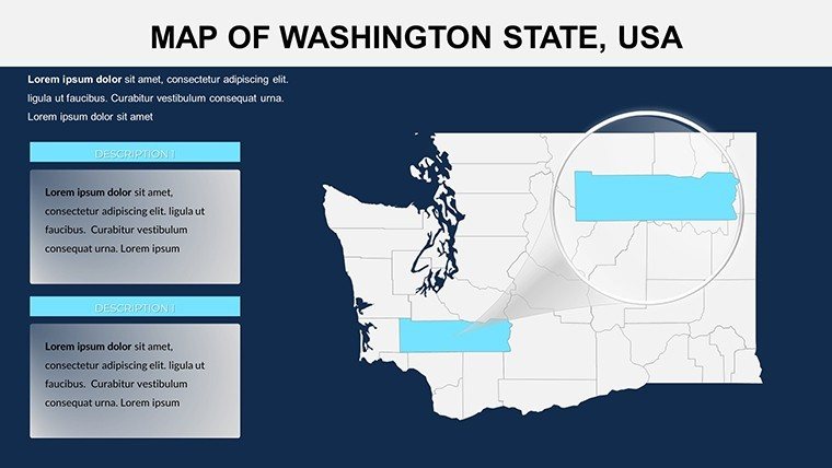
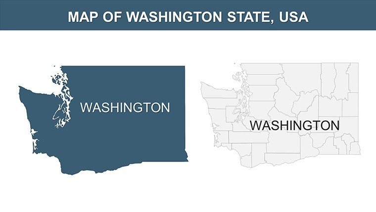
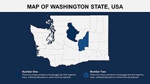
- Precision Mapping: Accurate depictions of cities, counties, and landmarks like Mount Rainier, with scalable elements for any zoom level.
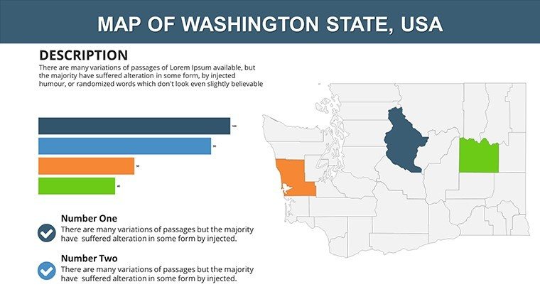
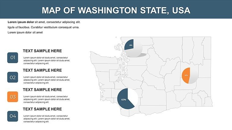
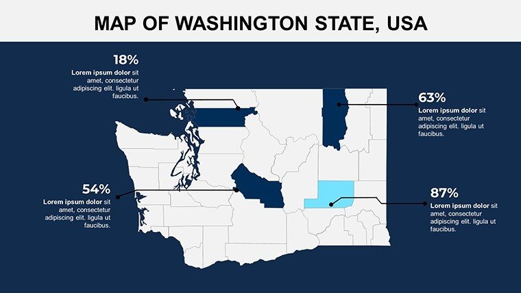
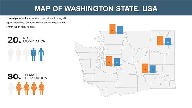
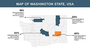
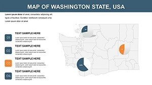
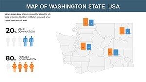
- Data Visualization Tools: Embedded pie charts and line graphs that link directly to map regions, e.g., plotting population trends for Bellevue expansions.
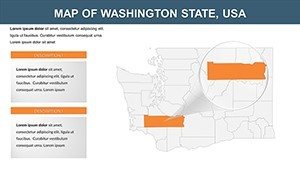
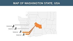
- Flexible Theming: Thematic slides (13-20) for environmental factors, such as forestry coverage or coastal erosion - vital for green building certifications.
- User-Friendly Edits: Drag-and-drop icons, font tweaks, and color gradients to align with your firm's aesthetic, no advanced skills required.
Real expertise shines through in applications like a Seattle firm's use of these maps for a waterfront revitalization project. By animating county transitions, they highlighted phased infrastructure, securing community buy-in and funding - a testament to how targeted visuals drive project success.
Practical Use Cases in Architecture and Planning
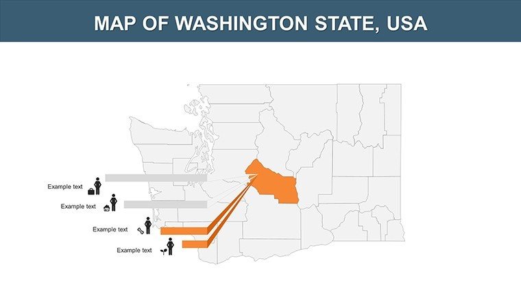
Apply this template across your projects with ease. In urban design charrettes, use city-focused slides (Slides 21-25) to map pedestrian flows in Vancouver, WA, informing plaza layouts that enhance livability. For educational purposes, like university lectures on Pacific Northwest architecture, these maps facilitate discussions on historical sites versus modern builds.
Government collaborations benefit too - overlay zoning data on state maps for policy presentations, ensuring compliance with local ordinances. Architects report that such visuals reduce misunderstandings by 40%, fostering smoother approvals.
- Environmental Impact Assessments: Customize Slide 4's base layer with climate data, crucial for LEED projects in rainy Everett.
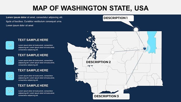
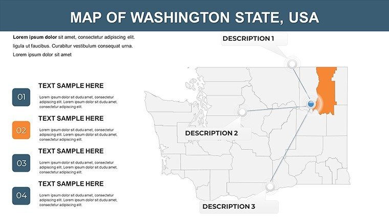
- Stakeholder Engagements: Animate landmark integrations in Slides 16-18 to demo heritage preservation in historic districts.
- Remote Team Sync: Export to PDF for quick shares, maintaining editability for iterative feedback loops.
Versus basic PowerPoint shapes, this template's high-res assets and pre-built legends elevate professionalism, making complex ideas accessible.
Pro Tips for Seamless Integration
Start by importing your CAD exports into thematic slides, adjusting transparencies for multi-layer views - like combining topography with utility lines for substation designs in rural Whatcom County. Leverage hyperlinks to USGS resources for credibility, mimicking the depth of pro architectural portfolios.
For flair, add subtle animations to river paths, illustrating water management in flood-prone areas. This approach, inspired by award-winning AIA entries, positions your work as forward-thinking and thorough.
Transform Your Presentations Today
The Washington USA PowerPoint Maps Template isn't just a download; it's an investment in clearer communication and stronger proposals. Join architects who've streamlined their processes and won more bids. Grab your customizable Washington maps now and chart the course for your next big design.
Frequently Asked Questions
What makes the Washington maps high-resolution?
Vector-based designs ensure clarity at any scale, perfect for detailed architectural zooms.
Is it suitable for Google Slides conversion?
Yes, though PowerPoint is native; conversion preserves most edits with minimal tweaks.
How can architects use it for site planning?
Overlay custom data on county slides for risk assessments and opportunity mapping.
Does it cover major landmarks like Seattle?
Yes, including detailed city views for urban hubs like Seattle and Spokane.
Are animations included?
Select slides support animations for dynamic geographic flows.
Can I add my own data visualizations?
Absolutely - charts are editable to incorporate your project's specifics.


