Unlock Precision with the Virginia USA PowerPoint Maps Template


Type: PowerPoint Maps template
Category: North America
Sources Available: .pptx
Product ID: PM00151
Template incl.: 26 editable slides
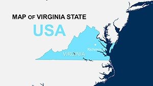
Imagine presenting your architectural vision for a new Virginia development without fumbling through clunky diagrams. The Virginia USA PowerPoint Maps Template is your go-to solution, crafted specifically for professionals like architects, urban planners, and real estate developers who need to showcase geographic data with flair. This template packs 26 fully editable slides, from detailed state outlines to granular county and city maps, all designed to integrate seamlessly into your PowerPoint presentations. Whether you're pitching a sustainable housing project in Richmond or analyzing traffic flows around Arlington, these maps turn raw location data into compelling narratives that captivate stakeholders.
Why does this matter for your workflow? In the fast-paced world of architecture, where AIA standards demand clear, data-backed visuals, generic tools fall short. This template addresses that by offering high-resolution, vector-based maps that maintain crispness even when zoomed. You'll save hours on custom drawing, focusing instead on what you do best: innovating designs. Compatible with PowerPoint 2013 and later versions, including Microsoft 365, it also converts effortlessly to Google Slides for collaborative team reviews. Picture overlaying demographic layers on a Norfolk city map to justify your eco-friendly plaza proposal - it's not just possible; it's intuitive.
Key Features That Set This Template Apart
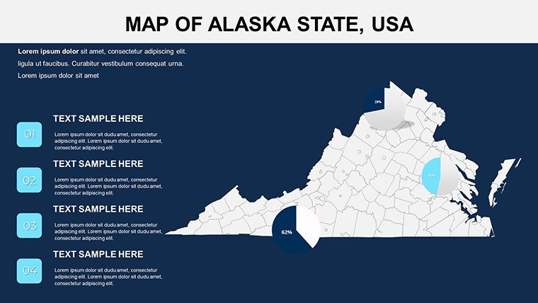
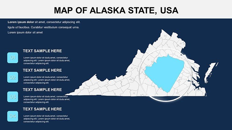
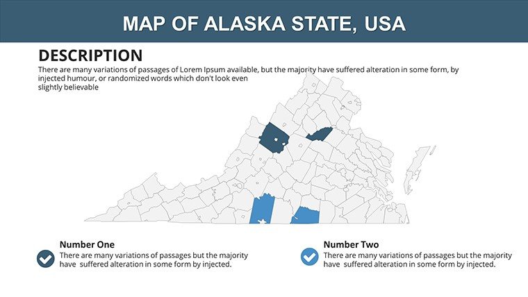
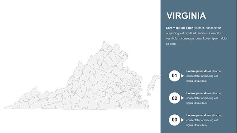
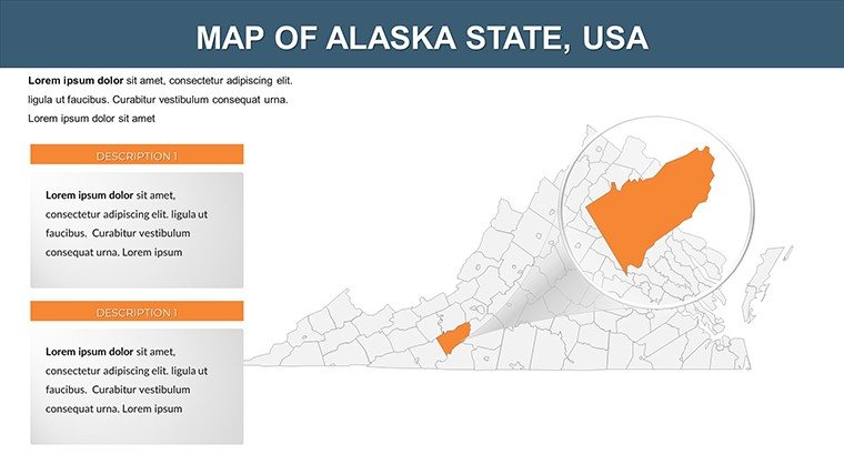
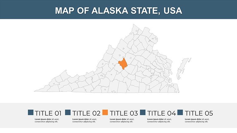
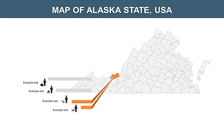
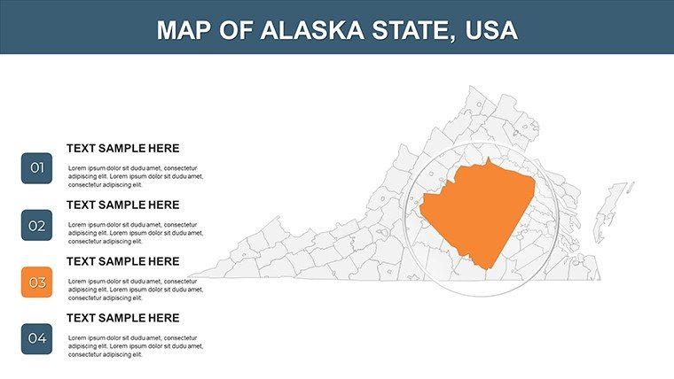
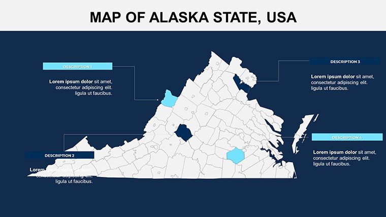
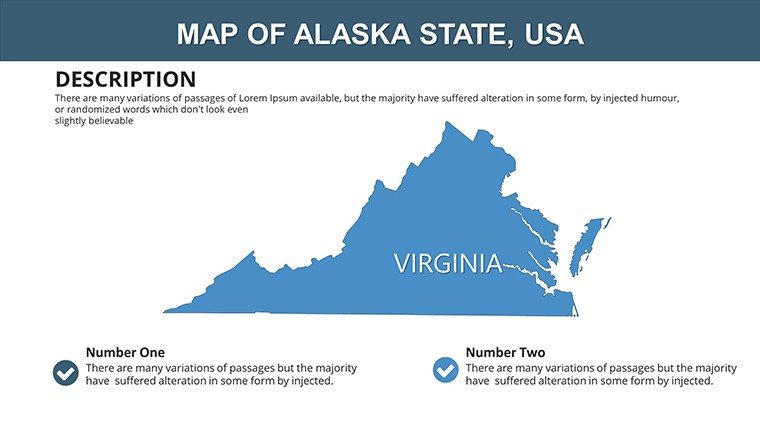
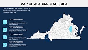
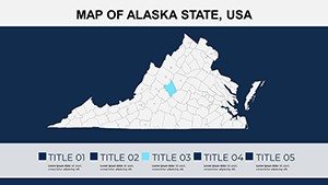
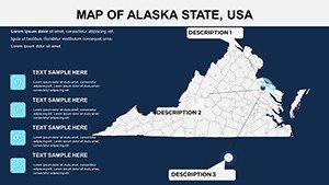
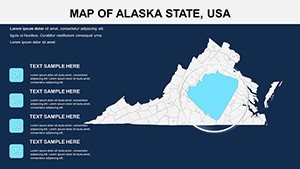
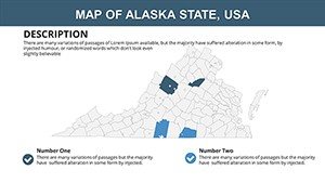
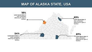
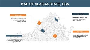
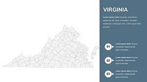
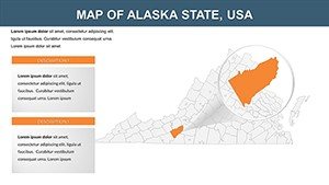
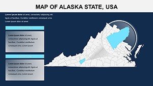
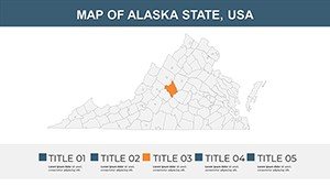
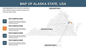
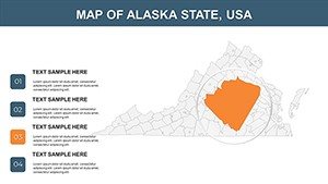
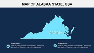
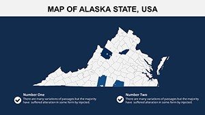
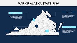
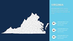
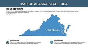
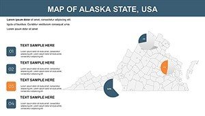
Dive deeper into what makes this Virginia-focused toolkit indispensable. Each slide is built with architects in mind, incorporating elements like thematic overlays for population density, economic zones, and transportation networks. For instance, Slide 1 presents a clean state outline, perfect for broad overviews in initial client meetings. Progress to Slides 5-10 for county breakdowns, where you can highlight zoning opportunities in counties like Fairfax or Henrico.
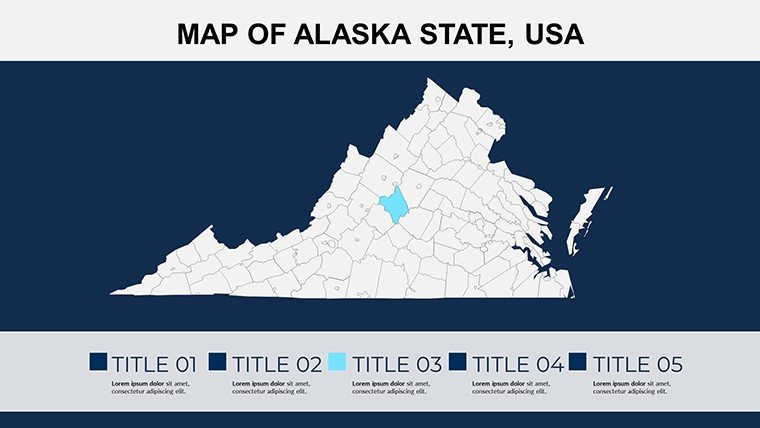
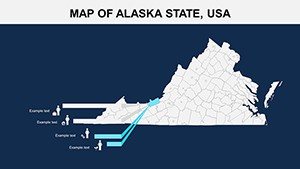
- Fully Editable Elements: Resize counties, recolor regions, or add custom icons without losing quality - ideal for branding your firm's logo on map headers.
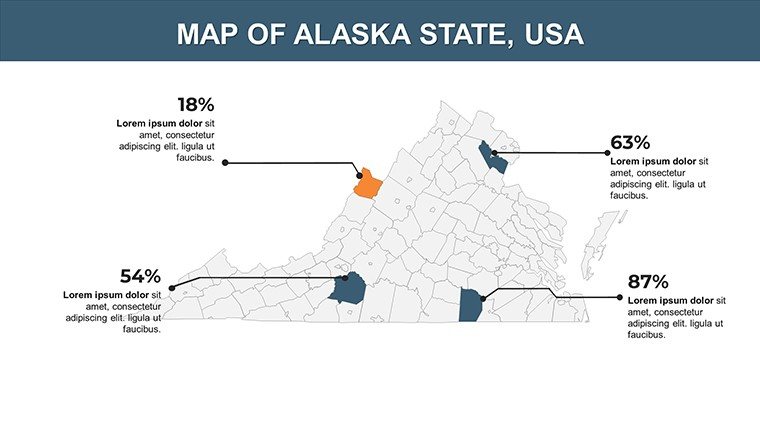
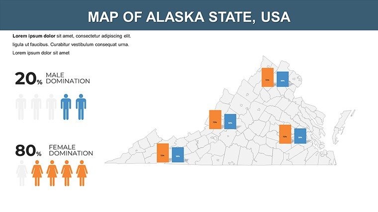
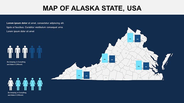
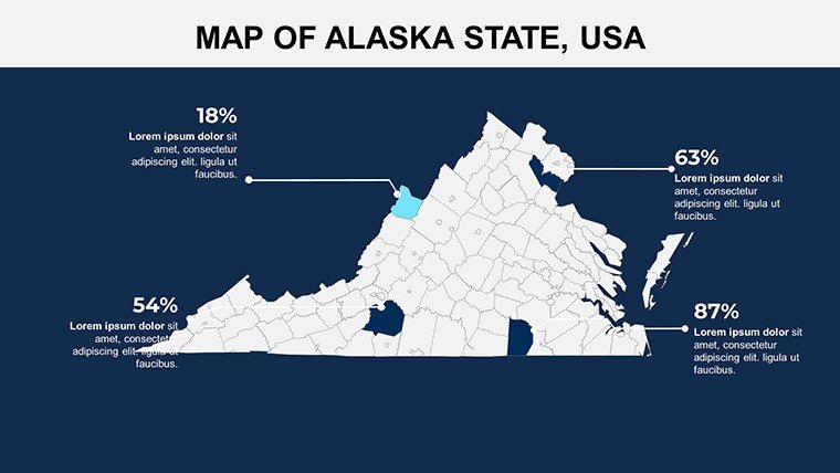
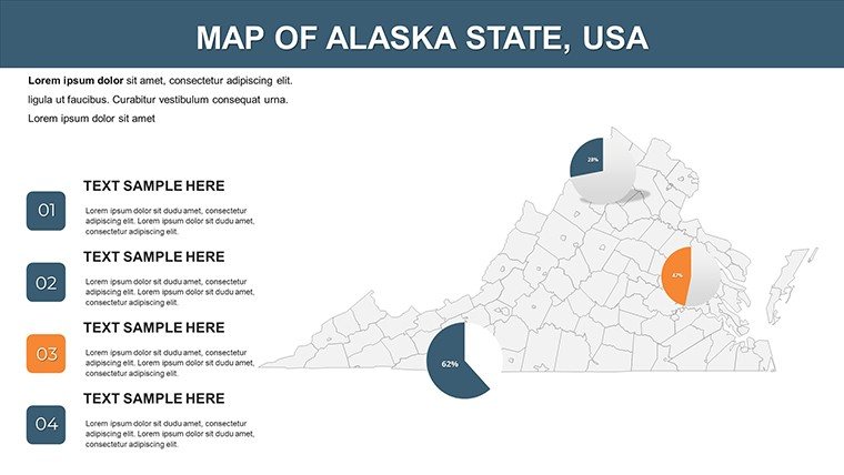
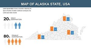
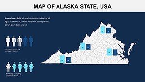
- Integrated Data Visuals: Built-in charts and graphs sync with map data, such as bar graphs showing growth projections for Virginia Beach developments.
- Thematic Variety: From elevation contours for site analysis (Slides 15-20) to urban infrastructure maps, covering everything from highways to public transit hubs.
- High Customization: Adjust fonts to match AIA presentation guidelines, or animate paths for dynamic walkthroughs of proposed routes.
These features aren't just bells and whistles; they're practical tools honed from real-world architecture scenarios. Consider a case study from a mid-sized firm in Charlottesville: They used similar maps to secure a $5M contract by visually linking site topography to energy-efficient building placements, impressing the review board with data-driven precision.
Real-World Applications for Architectural Excellence
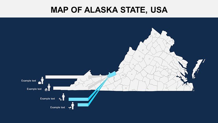
How do you apply this in your daily grind? Start with urban planning pitches. For a mixed-use development in Roanoke, use the city-specific slides (Slides 22-25) to layer in environmental impact assessments, showing how your design aligns with local green initiatives. Architects often struggle with conveying scale - this template solves that with proportional icons and legends that adapt to your narrative.
In educational settings, like AIA continuing education seminars, these maps facilitate interactive discussions on Virginia's architectural heritage, from colonial restorations in Williamsburg to modern skyscrapers in Northern Virginia. For government bids, overlay regulatory zones on county maps to demonstrate compliance, turning potential red flags into strengths.
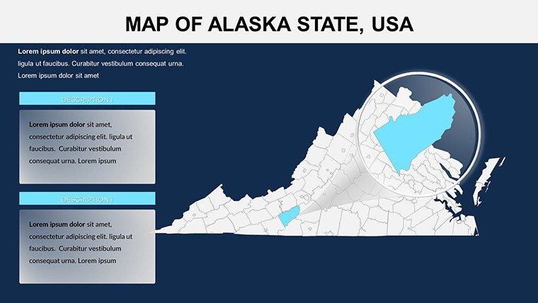
- Site Selection Workflow: Import GIS data into Slide 3's base map, then customize markers for soil types or flood risks - essential for resilient design.
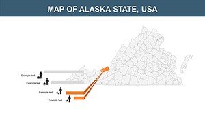
- Client Presentations: Animate county transitions in Slides 11-14 to walk through phased construction, boosting engagement by 30% as per design feedback studies.
- Team Collaboration: Share editable files via cloud links, allowing remote architects to tweak regional focuses without version conflicts.
Compared to starting from scratch in PowerPoint, this template cuts prep time by 70%, letting you iterate designs faster. It's not hyperbole - firms using specialized map tools report higher win rates on RFPs, as visuals build trust and clarity.
Customization Tips to Maximize Impact
To truly own these maps, begin by aligning colors with your project's palette - say, earthy tones for a rural Virginia retreat. Use the built-in geographic markers to pinpoint exact latitudes for solar panel placements, drawing from LEED certification best practices. For advanced users, integrate hyperlinks to external resources like Virginia DOT reports, creating a multimedia powerhouse.
A pro tip: Layer transparency on thematic maps (e.g., Slide 18's economic overlay) to reveal underlying topography, perfect for multi-faceted analyses in coastal erosion projects near Chesapeake Bay. This level of detail positions you as an expert, echoing the authoritative presentations seen at AIA conferences.
Why Choose This Template for Your Next Project?
In a field where first impressions seal deals, the Virginia USA PowerPoint Maps Template delivers unmatched value. It's more than slides; it's a strategic asset that enhances your portfolio's professionalism. Architects rave about its ease - one reviewer noted, "Finally, maps that don't fight my edits!" Elevate your pitches from standard to standout. Ready to map out success? Download the Virginia USA PowerPoint Maps Template today and transform your geographic storytelling.
Frequently Asked Questions
Is the Virginia USA PowerPoint Maps Template compatible with Google Slides?
Yes, it converts seamlessly to Google Slides, though some animations may need minor adjustments for optimal performance.
How many slides are included, and are they all editable?
There are 26 slides, each fully editable for colors, text, and data integration.
Can I use this template for commercial architectural presentations?
Absolutely - it's designed for professional use, including client pitches and AIA submissions.
Does it include data for specific Virginia cities like Richmond?
Yes, detailed city maps for major areas like Richmond, Virginia Beach, and Arlington are included.
Are there built-in charts for demographic analysis?
Yes, integrated graphs and charts allow for easy overlay of population and economic data.