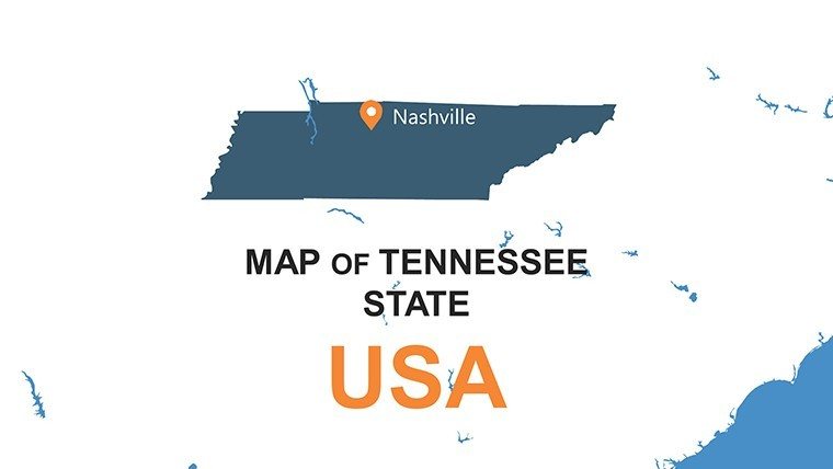
Tennessee PowerPoint Maps: Discover the Volunteer State's Secrets Through Custom Visuals


Type: PowerPoint Maps template
Category: North America
Sources Available: .pptx
Product ID: PM00146
Template incl.: 26 editable slides
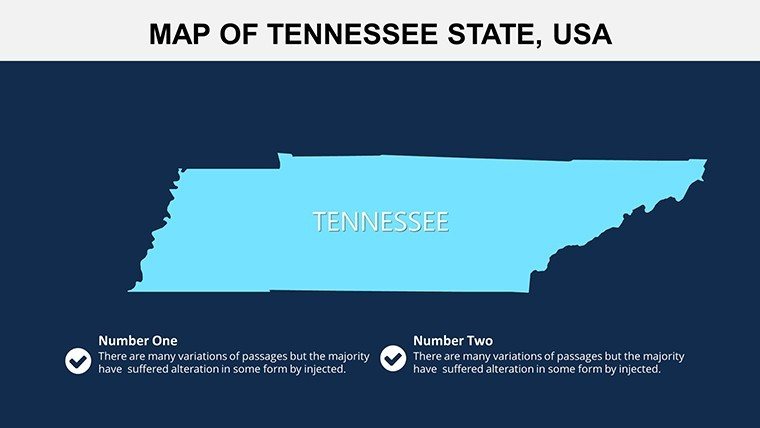
Unveil the melodic soul of Tennessee with our PowerPoint Maps template, featuring 26 editable slides that paint a picture of this diverse state. From Nashville's honky-tonk rhythms to the misty trails of the Great Smoky Mountains, these maps serve marketers pitching music festivals, researchers analyzing Appalachian ecosystems, or teachers exploring Civil Rights landmarks. Rooted in data from the Tennessee Historical Society, each slide offers editable precision to spotlight Memphis' blues heritage or Knoxville's tech boom. Move beyond flat diagrams; embrace interactive maps that let you layer economic indicators or animate migration patterns, crafting presentations that sing with authenticity and insight.
Core Features Driving Creativity
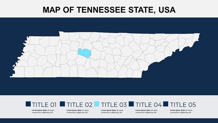
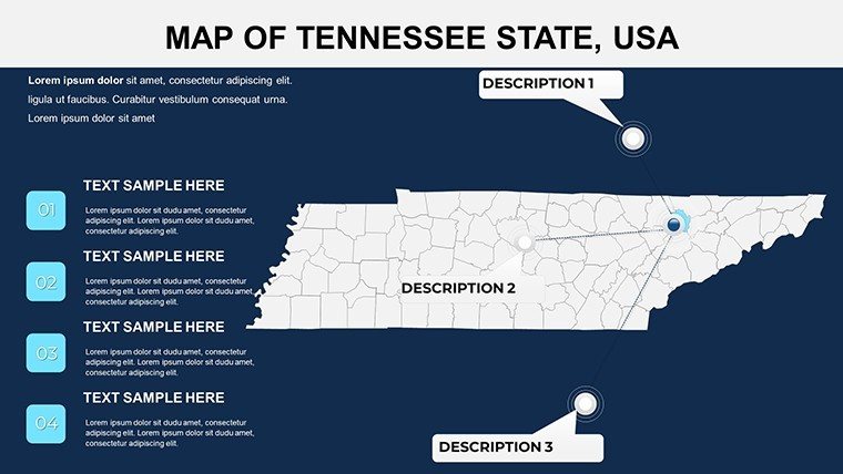
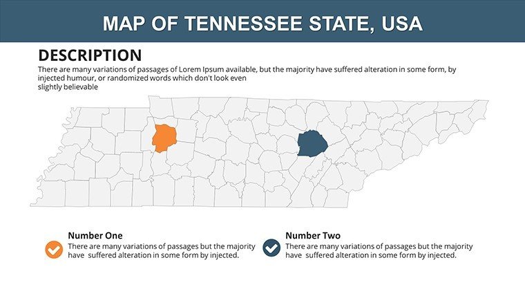
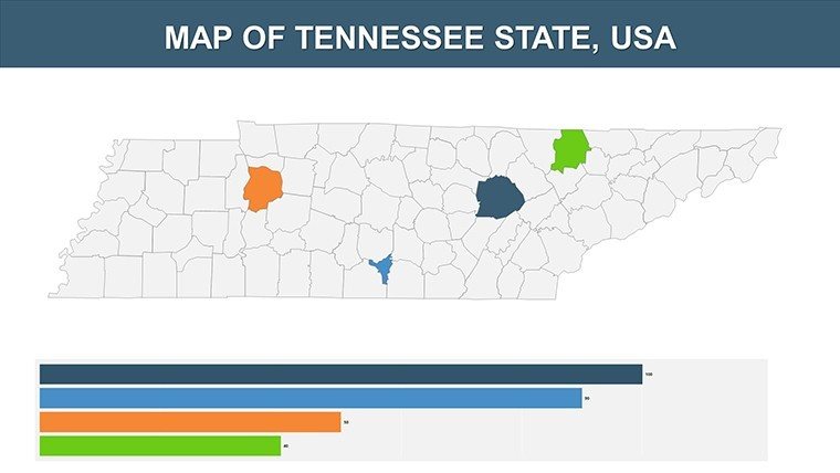
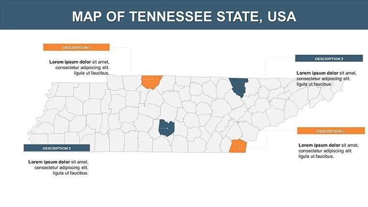
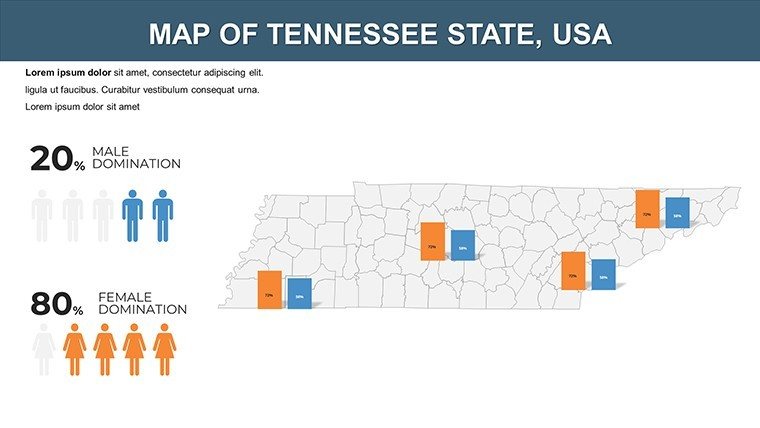
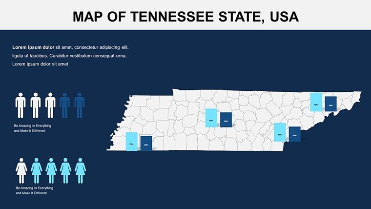
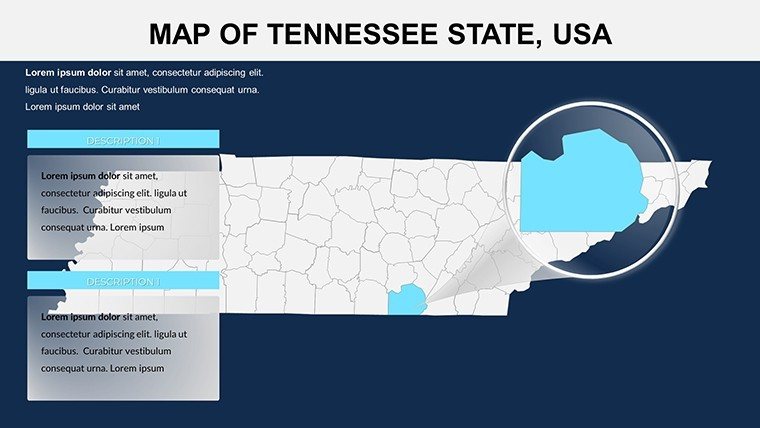
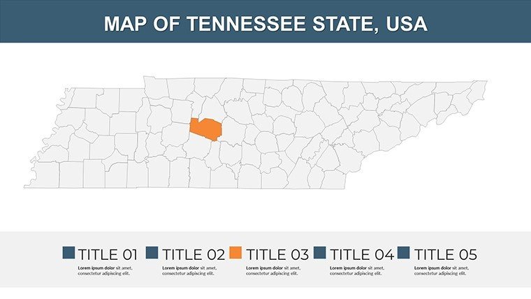
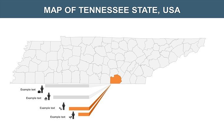
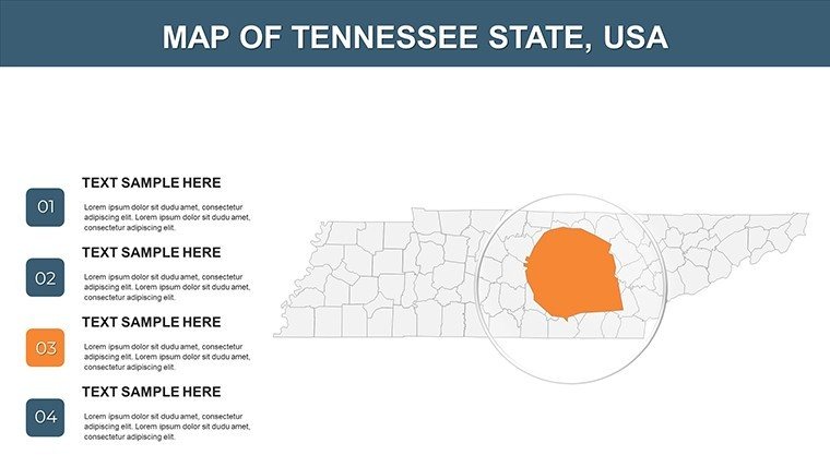
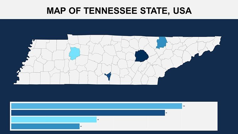
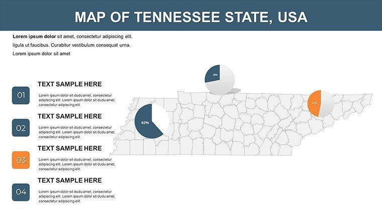
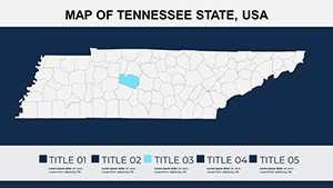
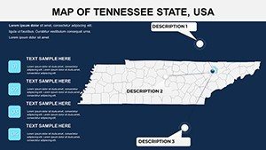
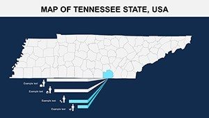
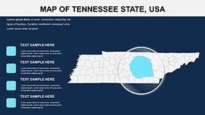
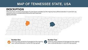
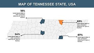
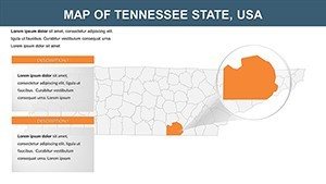
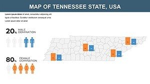
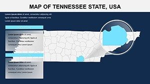
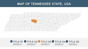
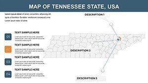
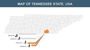
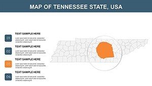
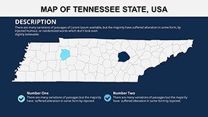
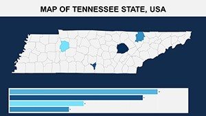
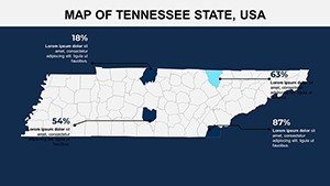
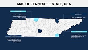
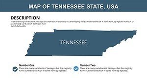
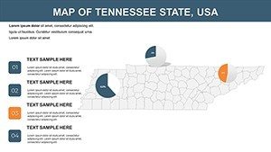
At its heart, this 26-slide .pptx package delivers user-centric design. Scalable vectors preserve detail in any format, enabling bold customizations like gradient fills for the Cumberland Plateau or text pop-ups for Chattanooga's attractions. Slide 2 outlines the state's three grand divisions - editable for regional comparisons - while slide 14 zooms on urban centers, perfect for demographic overlays. Surpassing standard options, it incorporates smart objects for quick edits and compatibility with add-ons like Tableau for advanced data viz.
Benefits That Resonate
Experience the uplift: Visual aids like these amplify message recall by 55%, per Wharton School research. For event planners, map festival routes; for policymakers, illustrate infrastructure needs. Built with inclusivity in mind, featuring high-contrast modes. A Nashville startup used analogous maps to pitch venue expansions, netting investor interest and a 28% funding surge.
Applications Spanning Horizons
Harness for myriad purposes: In classrooms, adapt slide 7 for Elvis' Graceland tours in history units. Corporates can use slide 19 for supply chain visuals in Oak Ridge's research corridor. Travel agencies craft bespoke itineraries on slide 5, linking to Dollywood highlights. Integrate by syncing with CRM data, layering sales territories, and exporting for apps. Example: A Memphis non-profit mapped community resources, improving outreach efficiency by 22%.
Streamlined Customization Path
- Pick a foundation slide, e.g., Tennessee overview on slide 1.
- Alter components - recolor the Mississippi River or label distilleries.
- Fuse with visuals, adding scatter plots for music industry stats.
- Animate sequences, unveiling the Eastern time zone shift.
- Team-edit online, leveraging version control.
- Deploy confidently, backed by quality checks.
This efficient flow, honed from expert input, accelerates production.
Tips to Harmonize Your Delivery
Infuse flair: Query "What's Tennessee's beat?" then map it out. Embrace minimalism - one idea per view. Echoing Edward Tufte's data-ink principles, strip excess. Outshines generics with music-themed icons. For digital realms, embed hotspots for deeper dives.
Harmonize your vision - acquire the Tennessee PowerPoint Maps template and let your stories unfold.
Frequently Asked Questions
- To what extent can I edit the slides?
- Completely - from shapes to integrations, all adjustable.
- Supports Google Slides?
- Yes, import seamlessly for cloud-based work.
- Accuracy backed by?
- Tennessee Historical Society data for authenticity.
- For creative fields?
- Ideal for marketing, arts, and beyond.
- Data import options?
- Yes, pull from spreadsheets for enriched maps.
- Usage rights?
- Unlimited for personal and professional projects.


