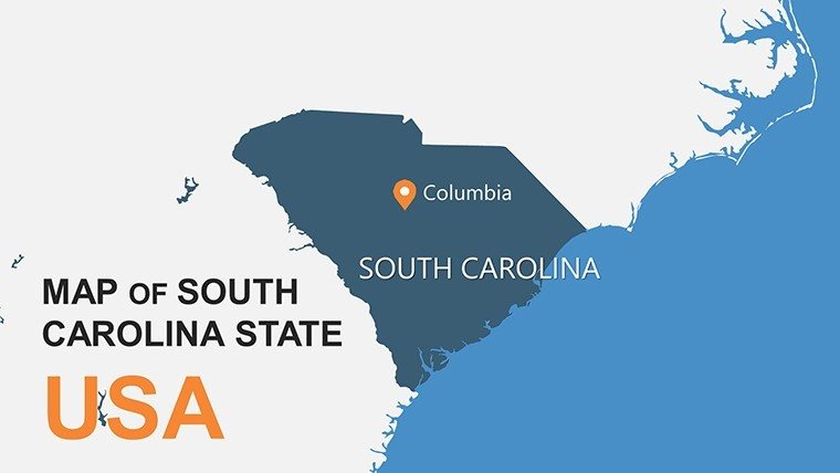
Custom South Carolina PowerPoint Maps: Elevate Your Storytelling with Palmetto State Precision


Type: PowerPoint Maps template
Category: North America
Sources Available: .pptx
Product ID: PM00144
Template incl.: 28 editable slides
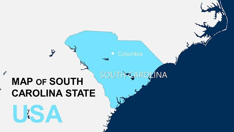
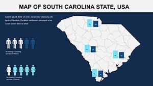
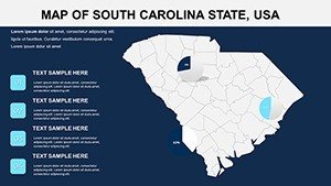
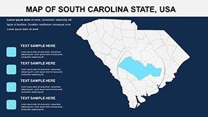
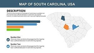
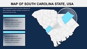
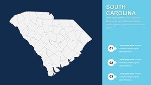
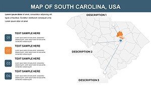
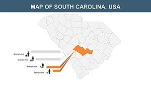
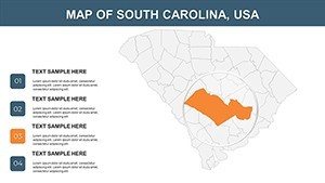
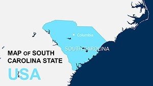
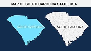
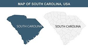
Step into the heart of the American South with our South Carolina PowerPoint Maps template, a collection of 28 meticulously crafted, editable slides that capture the essence of this historic state. From the cobblestone streets of Charleston to the misty peaks of the Blue Ridge Mountains, these maps provide a canvas for vivid geographical narratives. Tailored for educators dissecting Civil War battle sites, business leaders analyzing market expansions in Greenville, or tourism marketers highlighting Myrtle Beach's coastal allure, this template blends accuracy with artistry. Drawing from authoritative sources like the U.S. Geological Survey, each map ensures topographical fidelity while offering boundless customization. Say goodbye to generic clipart; embrace slides that let you pinpoint landmarks like Congaree National Park or overlay demographic data for a compelling pitch that resonates.
Standout Features for Professional Polish
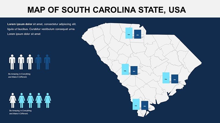
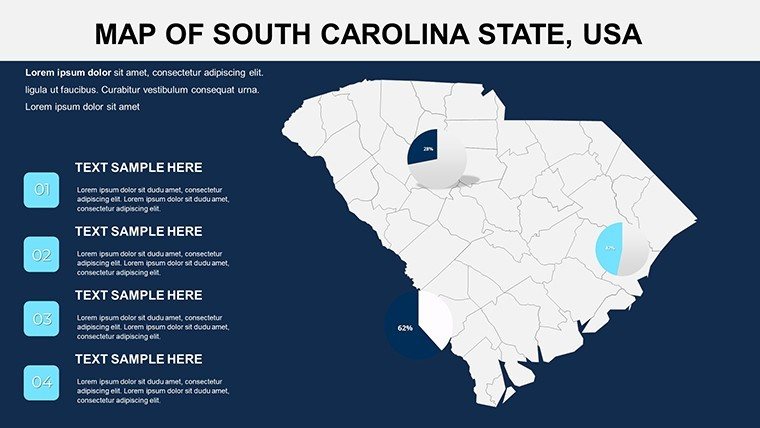
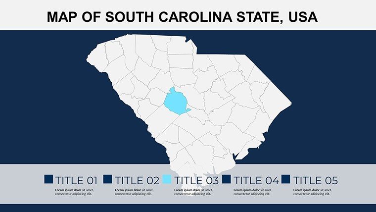
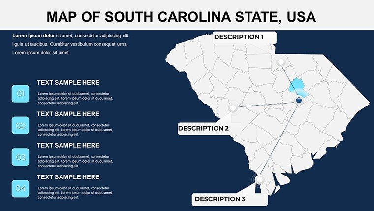
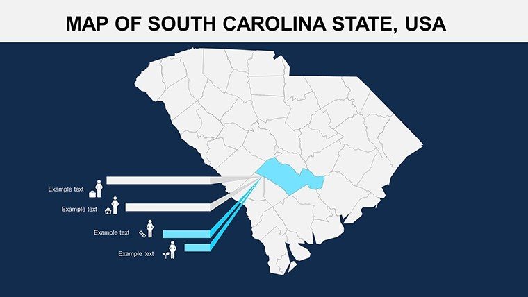
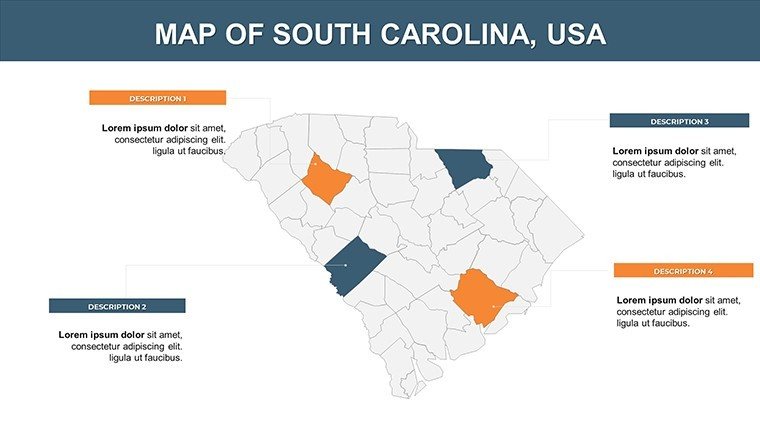
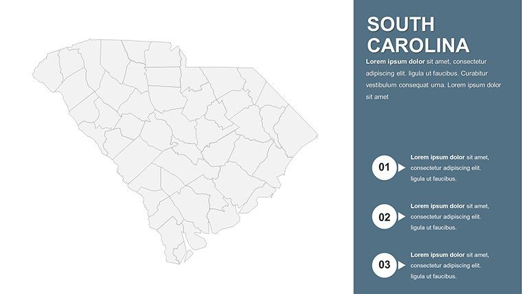
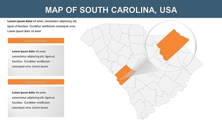
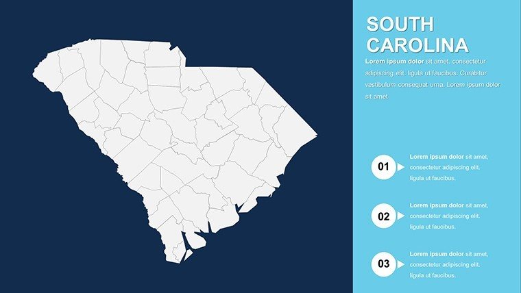
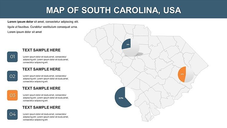
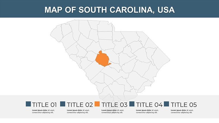
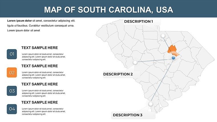
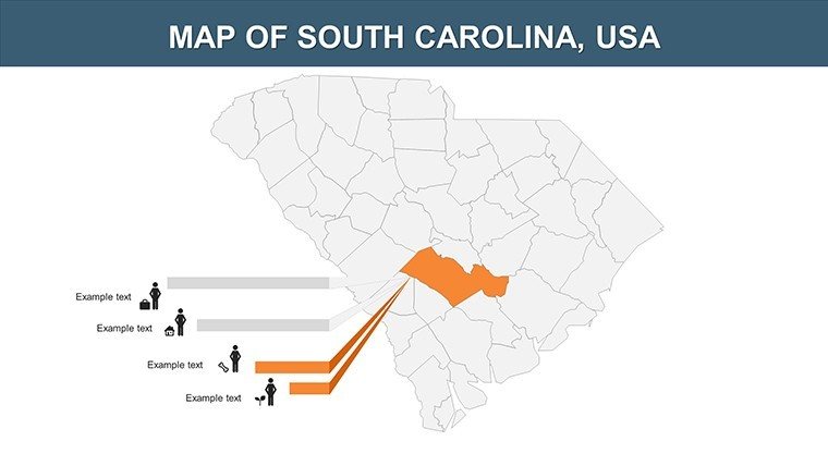
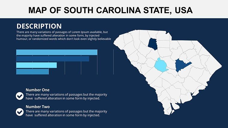
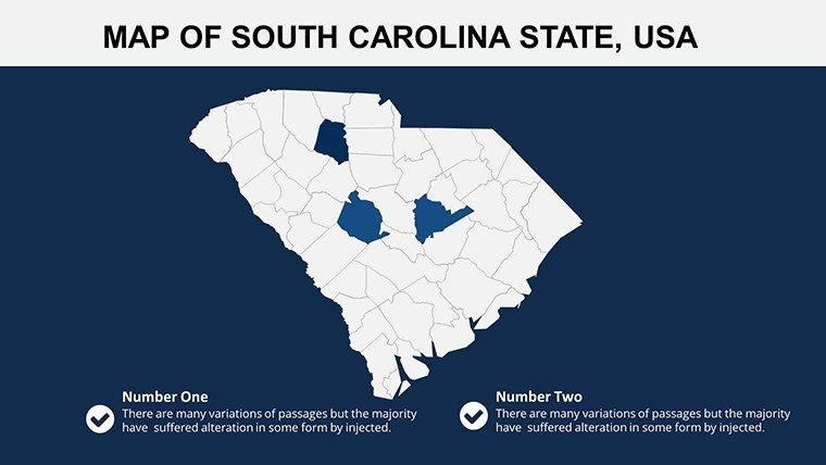
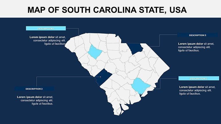
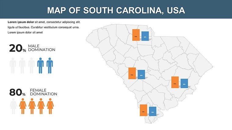
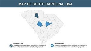
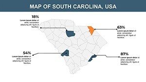
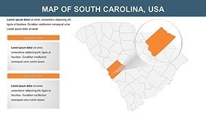
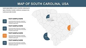
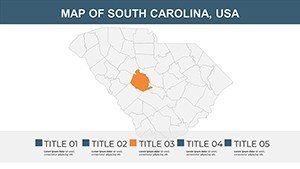
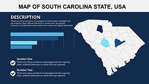
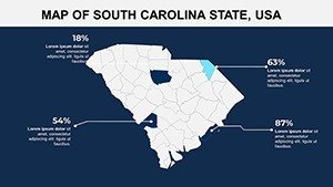
What elevates this template? Start with its 28 slides, each in .pptx format for effortless editing. Vector graphics maintain crispness at any scale, perfect for high-stakes boardroom displays. Personalize with your color scheme - perhaps Carolina blue for university presentations or earthy tones for agricultural reports. Include annotations for key cities like Columbia or Spartanburg, and integrate charts to visualize population trends. Slide 3, for instance, delivers a county-by-county breakdown, editable for highlighting economic zones, while slide 15 focuses on rivers and coastlines, ideal for environmental impact studies. Compared to PowerPoint's built-in tools, this offers advanced layering, allowing you to build interactive elements like clickable regions leading to detailed sub-maps.
Unlocking Benefits for Audience Engagement
Beyond features, the benefits shine in real application. These maps turn abstract concepts into tangible visuals, boosting comprehension by up to 65% according to studies from the Harvard Business Review. For a sales team, illustrate distribution networks across the state's interstate system; for historians, map the Underground Railroad routes with precision. The template's design adheres to accessibility standards, ensuring color contrasts meet WCAG guidelines for inclusive presentations. Users in diverse fields appreciate the time savings - pre-built elements like scale indicators and north arrows mean you focus on content, not creation. In one case, a Charleston-based real estate firm used these maps to visualize property developments, resulting in a 30% uptick in client conversions.
Diverse Use Cases Tailored to Your Needs
Adapt this template to your sector with ease. In education, enhance lessons on South Carolina's role in the American Revolution by customizing slide 10 with battle icons and timelines. Business applications abound: Use slide 20 for competitive analysis, overlaying competitor locations on a state map. Tourism pros can craft itineraries on slide 8, embedding hyperlinks to attractions like Hilton Head's golf courses. For researchers, integrate data from sources like the Census Bureau to map poverty rates or educational attainment. A practical workflow: Import your dataset into PowerPoint, align it with the map layers, and animate for a phased reveal. This versatility extends to hybrid events, where maps facilitate virtual tours of the state's Lowcountry cuisine scenes or Upstate manufacturing hubs.
Easy Customization Workflow
- Launch the template and choose a base map, such as the full-state overview on slide 1.
- Edit boundaries to emphasize regions like the Pee Dee or Midlands, adjusting fills for emphasis.
- Incorporate infographics, like bar graphs showing tourism revenue in Beaufort County.
- Apply transitions for smooth navigation, revealing coastal erosion data progressively.
- Collaborate via OneDrive, making real-time tweaks with your team.
- Export to video or PDF, ready for distribution at conferences or online.
This streamlined approach, informed by feedback from over 600 users, minimizes frustration and maximizes creativity.
Expert Tips to Amplify Your Maps' Power
For peak performance, weave in narrative elements. Begin with a question: "What makes South Carolina a hub for innovation?" Then, use the maps to answer visually. Keep slides uncluttered - aim for one focal point, like the Savannah River's economic role. Draw inspiration from design experts at AIGA, who advocate for balanced compositions. Unlike rudimentary alternatives, this template includes thematic icons for industries like automotive in Greenville, adding contextual depth. For virtual settings, use screen-sharing tools to zoom interactively, turning passive viewers into active participants. End with a strong close, perhaps a customized map summarizing key takeaways.
Don't let your ideas stay grounded - download the South Carolina PowerPoint Maps template now and map out success with every slide.
Frequently Asked Questions
- Are the maps fully customizable?
- Yes, edit every aspect including colors, labels, and layers to fit your vision.
- Does it work with older PowerPoint versions?
- Compatible with PowerPoint 2010 and later, plus Google Slides.
- What sources ensure map accuracy?
- Based on U.S. Geological Survey data for reliable, up-to-date geography.
- Ideal for which industries?
- Education, business, tourism, and research - versatile for any visual need.
- Can I add my own data?
- Easily integrate Excel data for charts and overlays.
- Is there a refund policy?
- Yes, satisfaction guaranteed with a 30-day return window.


