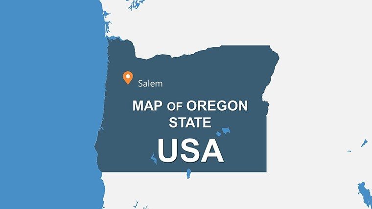
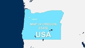
Oregon USA PowerPoint Maps Template: Navigate the Beaver State's Diverse Terrains


Type: PowerPoint Maps template
Category: North America
Sources Available: .pptx
Product ID: PM00137
Template incl.: 28 editable slides
Picture unveiling Oregon's dramatic contrasts - from the rugged Pacific Coast to the high deserts of the east - in presentations that mesmerize and inform. Our Oregon USA PowerPoint Maps Template, with 28 editable slides, is engineered for those who demand versatility in visualizing the state's geography. Suited for entrepreneurs plotting tech corridors in Portland, environmentalists mapping conservation zones, or historians tracing pioneer trails, this template distills intricate details into accessible, impactful visuals.
Optimized for PowerPoint and Google Slides, it offers a suite of design styles - modern minimalism for sleek pitches or detailed professionalism for reports - complete with adjustable components that honor real-world accuracy, inspired by Oregon Geographic Names standards.
Essential Features for Tailored Mapping
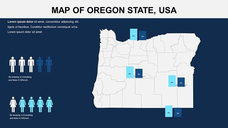
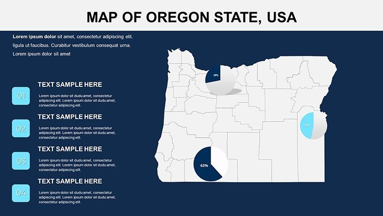
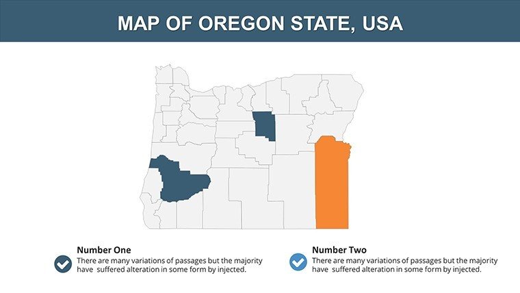
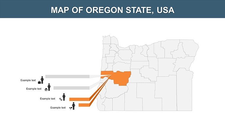
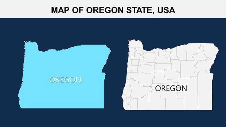
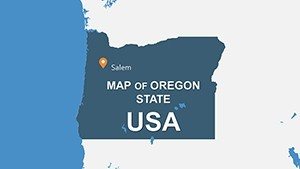
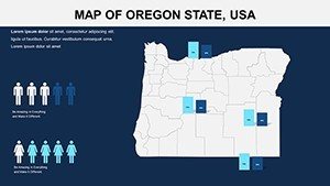
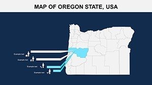
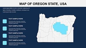
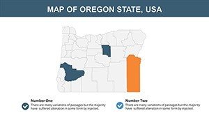
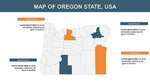
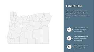
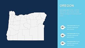
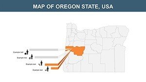
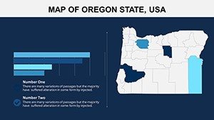
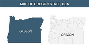
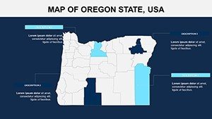
This template's strength lies in its adaptable array, spanning intricate city maps of Eugene to broad regional summaries of the Willamette Valley, ensuring every slide serves your purpose. Customizable markers pinpoint attractions like Crater Lake, while smooth personalization tools let you infuse your unique touch.
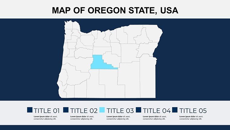
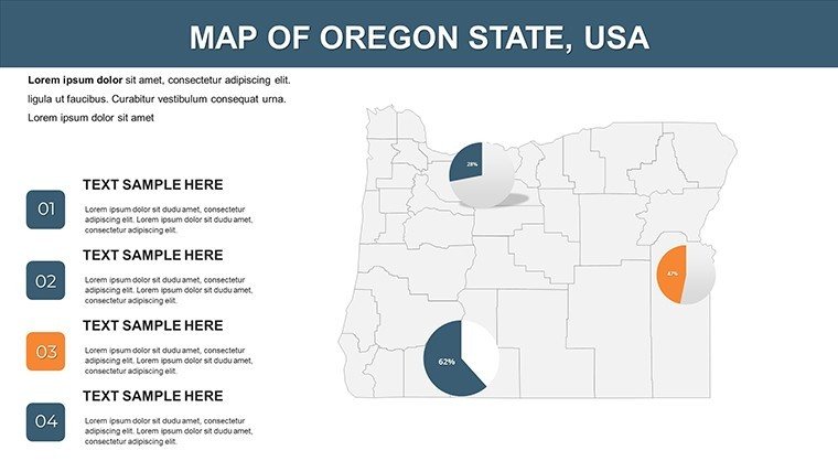
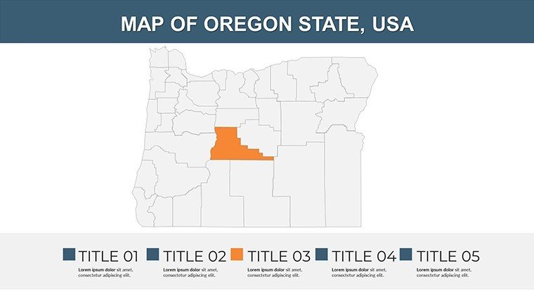
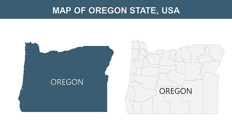
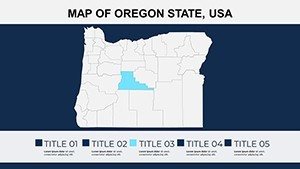
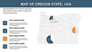
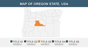
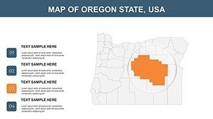
- Diverse Map Varieties: From urban grids to expansive overviews, covering Oregon's biomes for comprehensive coverage.
- Multiple Design Styles: Choose minimalist for clean aesthetics or professional for data-heavy slides, aligning with your tone.
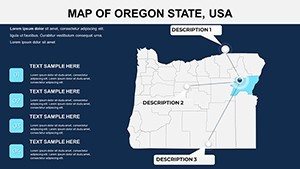
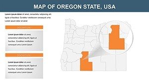
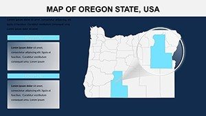
- Fully Adjustable Elements: Modify shapes, colors, and fonts effortlessly, adding symbols for wine regions in the Columbia Gorge.
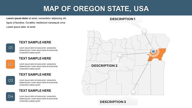
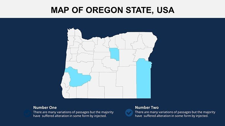
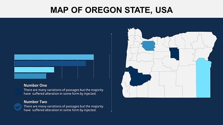
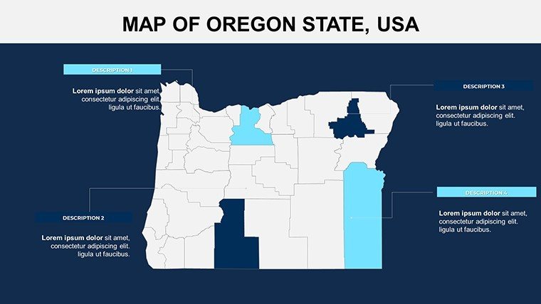
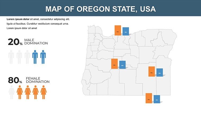
- Highlighting Tools: Custom markers emphasize towns, routes, or sites, enhancing focus in travel or investment decks.
Such features deliver time savings and engagement, outperforming generic maps by providing Oregon-specific nuance that builds viewer trust, akin to visuals in Oregon Tourism Commission campaigns.
Your Guide to Seamless Personalization
- Identify the Right Slide: Browse 28 options, selecting city-focused for Portland analyses or regional for statewide strategies.
- Style It Up: Switch to a modern look with subtle gradients, evoking Oregon's natural palettes of greens and blues.
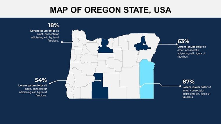
- Incorporate Highlights: Place markers on key areas like Bend's outdoor hubs, integrating data from the Oregon Employment Department.
- Refine Layouts: Resize and reorganize for balanced compositions, testing for audience flow.
- Finalize for Impact: Animate reveals for dynamic delivery, then share via multiple formats.
This methodical process empowers even beginners to create pro-level outputs, concentrating efforts on messaging - like sustainable forestry initiatives - rather than mechanics.
Targeted Applications That Deliver Results
Business users map supply chains across the I-5 corridor, using regional slides to demonstrate logistics efficiencies, echoing efficiencies reported by the Port of Portland. Travel experts promote routes through the Oregon Trail, with city maps detailing stops for immersive itineraries that drive bookings.
Educators illustrate volcanic histories around Mt. Hood, leveraging adjustable elements for interactive lessons compliant with state curricula. Stakeholders in environmental sectors visualize protected lands in the Cascades, supporting advocacy with precise, authoritative graphics. Conferences benefit from its professional appeal, making abstract policies tangible.
Visuals like these can sway decisions, with research from the Pacific Northwest Economic Region noting 30% higher persuasion rates. The template's breadth ensures it fits any Oregon-centric narrative, from pitches to workshops.
Why It Outshines Conventional Tools
Standard software often yields rigid results; this offers fluid, Oregon-tailored adaptability with LSI integrations like vector regional diagrams and icon overlays. It tackles challenges like disproportionate scales, yielding expert-grade presentations that convey legitimacy.
Unlock the template's potential to chart compelling stories - acquire it now and steer your communications toward excellence.
Chart Your Course to Success - Download Today!
Transform ordinary slides into extraordinary journeys through Oregon. Secure this PowerPoint Maps Template and make every presentation a standout adventure.
Frequently Asked Questions
What design styles are available?
Modern, minimalist, and professional options, all fully customizable to suit your presentation needs.
Can I highlight specific Oregon locations?
Yes, with built-in markers and symbols for towns, regions, and landmarks like Crater Lake.
Is the template time-saving?
Absolutely, pre-designed slides eliminate manual mapping, focusing your energy on content creation.
How editable are the components?
All elements, including shapes, colors, and fonts, are adjustable for personalized outputs.
Does it include city maps?
Yes, detailed city maps alongside regional views for versatile geographic representation.
What about compatibility?
Works with PowerPoint and Google Slides, ensuring broad accessibility across devices.