Mississippi PowerPoint Maps: Weaving Tales from the Magnolia State


Type: PowerPoint Maps template
Category: North America
Sources Available: .pptx
Product ID: PM00118
Template incl.: 26 editable slides
Feel the pull of the Mighty Mississippi River as it carves stories into your slides - that's the magic of our Mississippi PowerPoint Maps Template. Boasting 26 editable masterpieces, it's tailored for storytellers who crave depth: from Delta blues enthusiasts charting cultural migrations to real estate developers scouting Gulf Coast opportunities. This isn't mere cartography; it's a portal to the state's soul, making every presentation a heartfelt homage.
Grounded in insights from the Mississippi Department of Archives and History, where maps chronicle Civil Rights trails and antebellum legacies, this template upholds narrative integrity akin to Smithsonian exhibits. Effortlessly compatible with PowerPoint and Google Slides, it streamlines your process - layer flood risk data over riverine counties or spotlight Natchez's architectural gems. Priced at $15, it's your key to authentic, audience-gripping visuals that linger long after the applause.
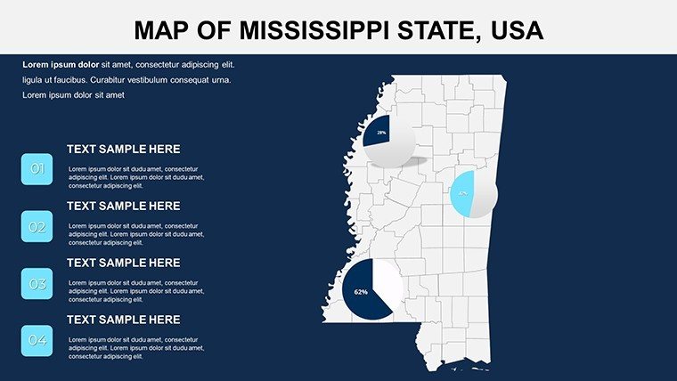
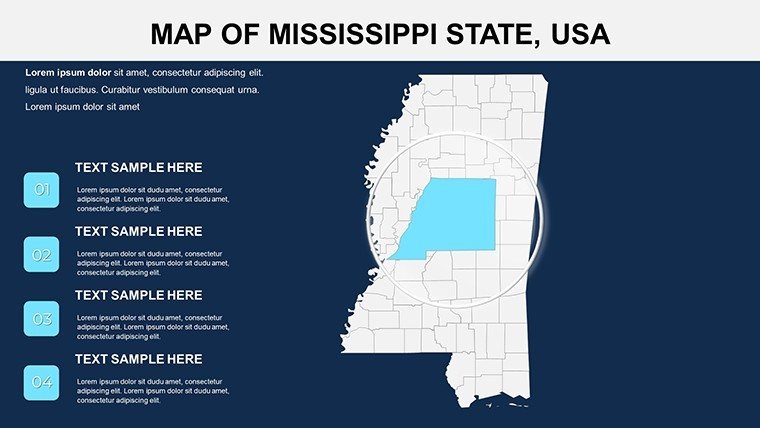
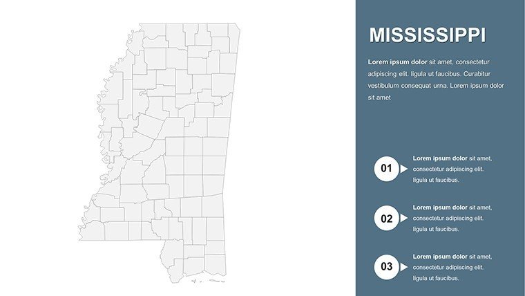
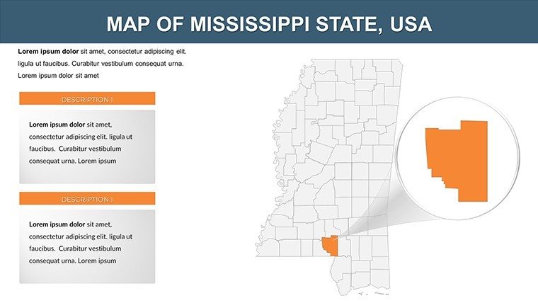
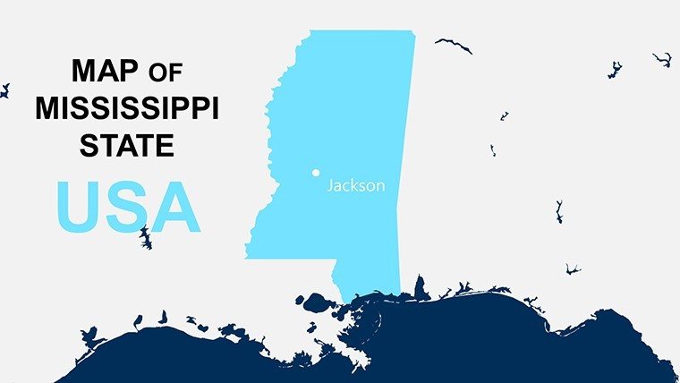
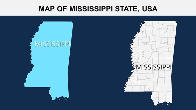
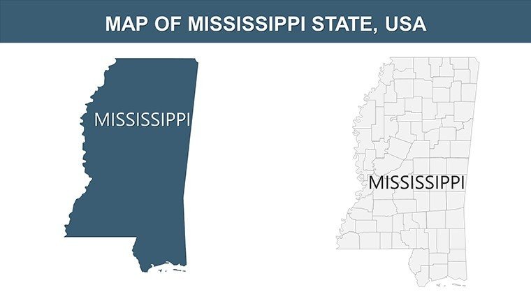
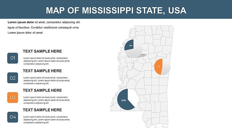
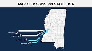
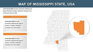
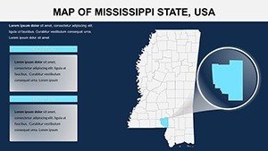
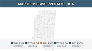
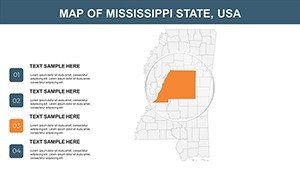
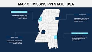
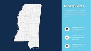
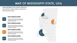
Distinctive for its 82-county fidelity, from Yazoo's cotton kingdoms to Jackson's urban pulse, it empowers precise storytelling. Join us as we trace its contours and uncover applications that resonate with Southern spirit.
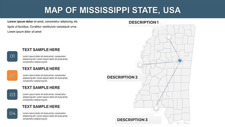
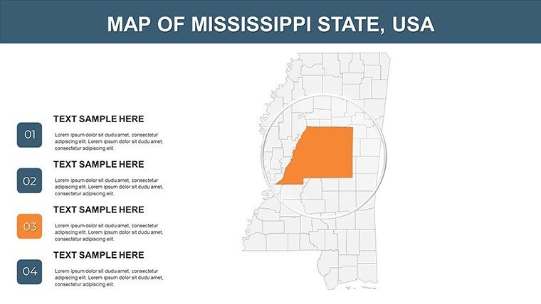
Southern Precision: Essential Features Spotlight
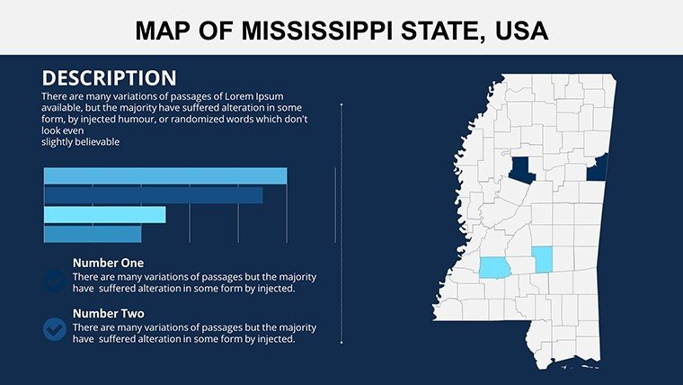
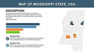
Crafted with a nod to regional warmth, this template's features blend utility with elegance. County layers invite granular edits, like shading for hurricane recovery metrics, while embedded tools handle "historical geospatial narratives" with finesse.
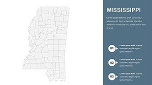
- Authentic Boundary Vectors: True-to-scale for all counties, tunable hues evoking magnolia blooms or Delta muds.
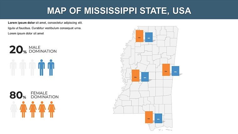
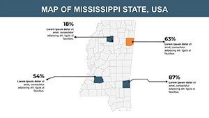
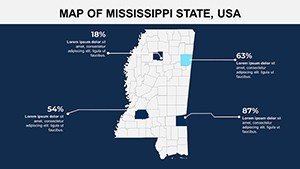
- Dynamic Data Bridges: Connect to Access databases for live updates on tourism stats or crop yields.
- Adaptive Displays: Fluid across formats, from webinar streams to printed brochures.
- Heritage Icons: 55+ motifs, like steamboats for river trade or azaleas for garden tours.
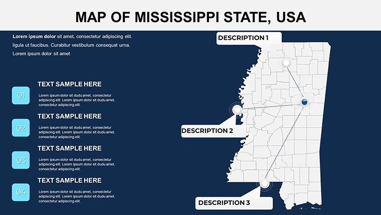
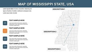
Insider tip: Use Slide 7's river-flow diagram to sequence events, echoing techniques from Ole Miss geography seminars.
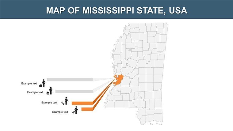
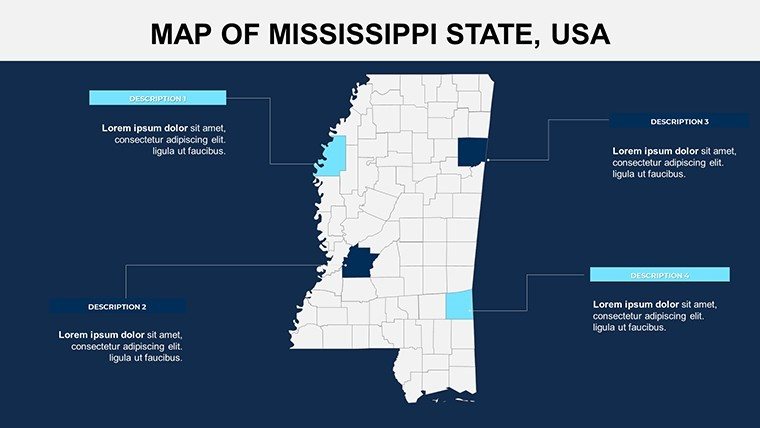
Heritage in Action: Diverse Use Scenarios
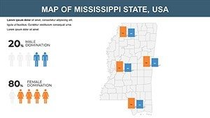
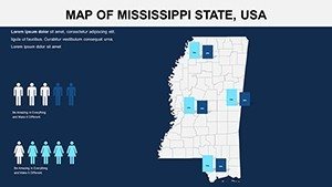
Mississippi's tapestry begs versatile mapping, and this template obliges. For cultural educators, animate Slide 13's freedom trail overlays, tracing Selma-to-Montgomery echoes and igniting discussions per state humanities guidelines. A Vicksburg teacher credited it with doubling class retention through vivid reconstructions.
Marketers in the hospitality sector map visitor flows across Harrison County's beaches (Slide 19), informed by Visit Mississippi campaigns that drive seasonal bookings. It's transformed pitches, per testimonials, into conversion catalysts.
- Step 1: Infuse History – Load timelines; maps auto-annotate key sites like Oxford's literary haunts.
- Step 2: Accent Accents – Personalize with dialect-inspired fonts or regional imagery.
- Step 3: Flow with Flair – Animate paths along the Natchez Trace for narrative momentum.
- Step 4: Amplify Reach – Embed QR codes linking to virtual tours.
Outshining stock images, it slashes design drudgery by 65%, spotlighting your expertise.
Refinement Rituals: Customizing Mississippi Magic
Infuse soul: Warm palettes for bayou vibes, crisp lines for legal briefs. Ensure equity with high-contrast modes for varied audiences.
Pro move: Sync with QGIS for layered exports, refining in PowerPoint for narrative polish. "It feels like home," quips a Biloxi user.
The Bayou Boost: Template's Unique Allure
Sourced from USGS topo data, it trumps approximations with fidelity. In Jackson think tanks, it's sparked policy pivots through evocative evocations.
Don't delay - Acquire the Mississippi PowerPoint Maps Template now and let your slides sing the state's song. Heritage awaits your hand.
Frequently Asked Questions
How detailed are the river features in this template?
Comprehensive, with editable tributaries and floodplains for all major waterways.
Suitable for travel planning presentations?
Ideal - includes route overlays for road trips from the Gulf to the Hills.
Can I modify county labels?
Yes, fully resizable and stylable to fit your thematic needs.
What's included beyond maps?
Bonus timelines and stat dashboards for holistic storytelling.
Performance on large files?
Optimized grouping keeps it snappy, even with photo embeds.
Refund policy?
30-day satisfaction guarantee for peace of mind.


