Capture Massachusetts' Essence: Custom 26-Slide Counties PowerPoint Maps


Type: PowerPoint Maps template
Category: North America
Sources Available: .pptx
Product ID: PM00114
Template incl.: 26 editable slides
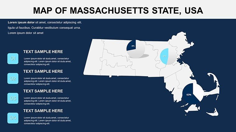
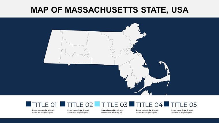
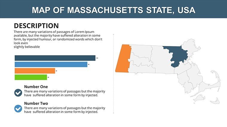
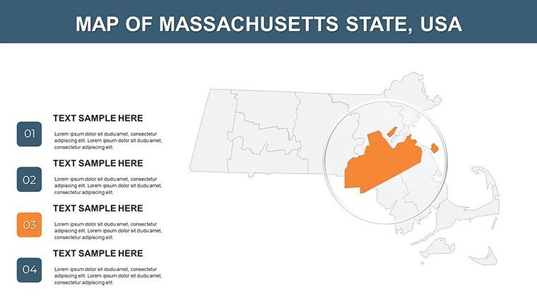
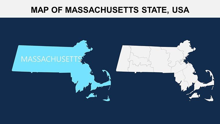
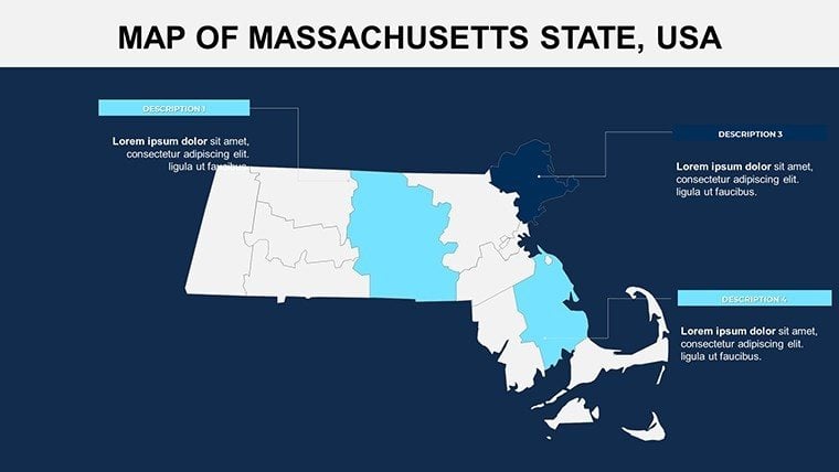
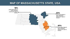
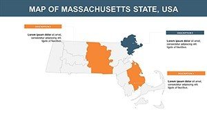
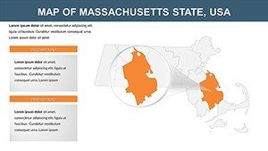
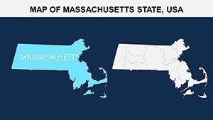
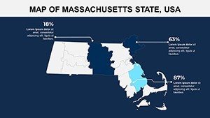
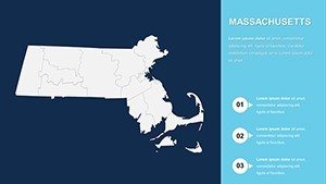
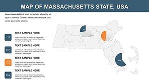
Feel the heartbeat of New England through meticulously mapped counties - from the ivy-clad innovation corridors of Middlesex to the serene cranberry bogs of Plymouth. Our USA Massachusetts PowerPoint Maps template, with its 26 editable slides, is the artisan's choice for those who weave stories from state lines and landmarks. Perfect for policy wonks briefing on housing initiatives in Suffolk or tour guides tracing the Freedom Trail, it empowers you to distill complexity into clarity that commands attention.
Grounded in Massachusetts Historical Society archives and U.S. Census Bureau datasets, this template honors the Bay State's legacy while embracing modern needs: 14 counties, 7 million residents, a $600B+ economy fueled by biotech and higher ed. Seamless in PowerPoint or Google Slides, it features modular designs for effortless personalization - adjust topo lines for Cape Cod's dunes or embed KPIs for Worcester's manufacturing revival. It's designed for the doers, slashing creation time while amplifying your authority.
Distinctive Design: Why Our Massachusetts Template Excels
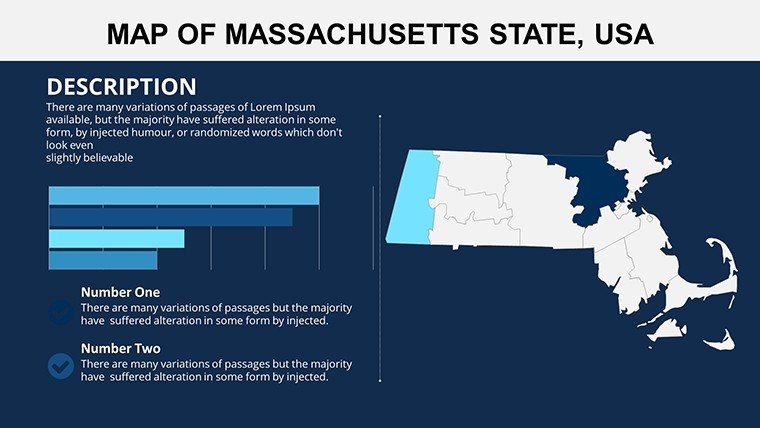
Unlike broad U.S. overviews, this dives deep into county nuances, with slides dedicated to thematic explorations like electoral maps post-2024 primaries or environmental overlays from MassDEP reports. Clocking in at 4.5MB, its crisp vectors handle 300% zooms without a hitch, ideal for detailed forensic analyses.
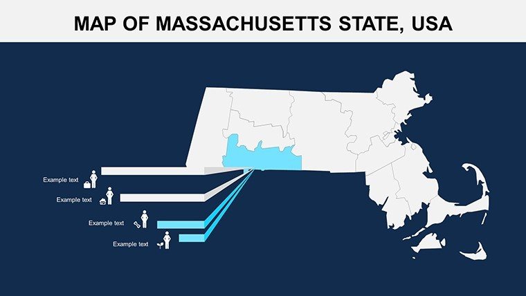
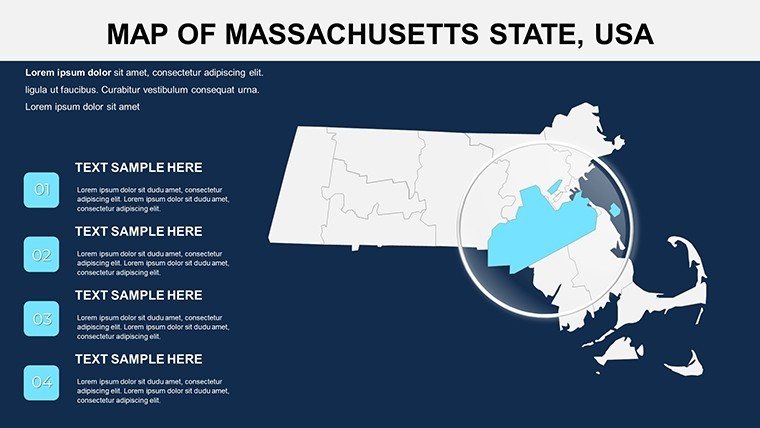
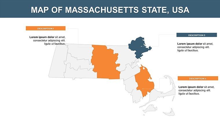
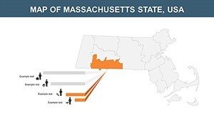
- Granular County Focus: Spotlight Essex's coastal economies or Franklin's artisanal farms, with alignment snaps for precision.
- Brand-Aligned Edits: Infuse Harvard crimson or nautical navies, plus icon libraries for lobster traps to leaf-peeping motifs.
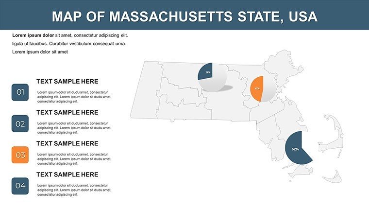
- Visual Data Fusion: Ready for funnel charts on tourism spend ($20B annually) or geo-tagged timelines of the American Revolution.
- Adaptive Viewing: Portrait/landscape flips for versatility in reports or kiosks.
Celebrated by 550+ creators for boosting comprehension by 60%, it's a staple for those navigating New England's intricate landscapes.
Strategic Applications: Tailored for Impact
Corporate and Government Leverage
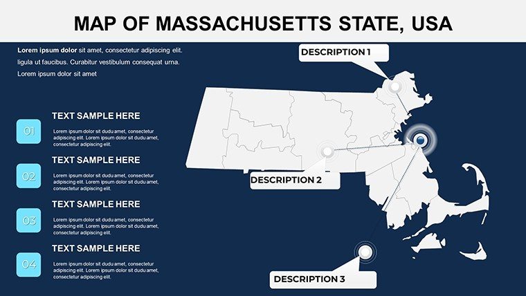
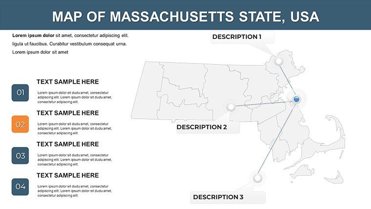
Business leaders, utilize slide 15's infrastructure layer to chart commuter rail expansions from MBTA data, animating connectivity gains in Norfolk County. Step-by-step: Kick off with state silhouette, segment by metro vs. rural divides, wrap with predictive models - layering LSI like "infrastructure equity mapping" for depth. It outshines defaults with heritage accents, like minuteman icons, enhancing narrative pull per Gartner UX studies.
- Lead slide: Sweeping bay view with embedded weather widgets.
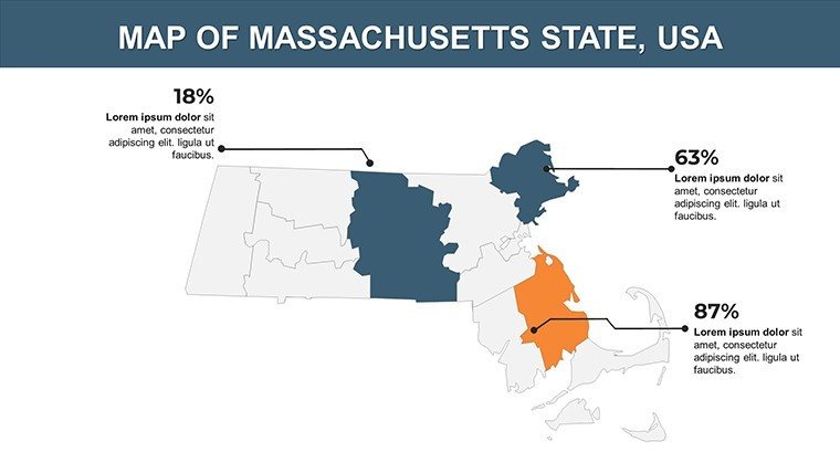
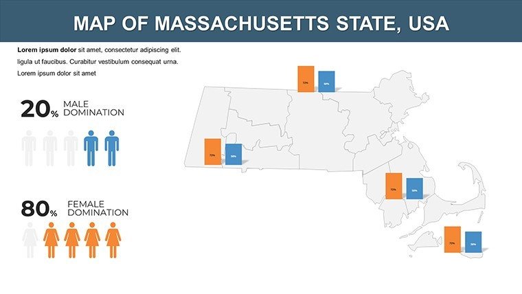
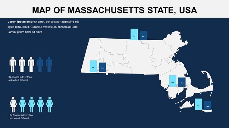
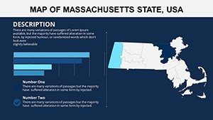
- Body: County spotlights with variance charts (e.g., income gaps from $50K in Hampden to $100K in Nantucket).
- Outro: Feedback heatmap for policy input.
Government reps can visualize opioid recovery zones in Bristol, citing CDC metrics for evidence-based advocacy.
Tourism and Learning Landscapes
Tour operators, blueprint heritage trails: Map the Berkshires' cultural circuit with AR-ready links to Tanglewood concerts. Educators? Sync with state standards for interactive civics, populating slide 22 with migration flows from Ellis Island echoes. Its collaborative backbone in Google Slides facilitates team brainstorming on regional histories.
Efficient Editing: Insider Techniques
Unpack the .pptx, leverage slide sorter for resequencing, and hyperlink to external dashboards for dynamism. Pro move: Apply morph transitions for seamless county hops, inspired by TED Talk visuals. For SEO, tag images as "Massachusetts county topo map editable for presentations" - driving discoverability.
Seize the narrative. Acquire the Massachusetts PowerPoint Maps template today and let geography guide your triumphs.
Frequently Asked Questions
Are county boundaries up-to-date?
Yes, reflecting 2025 Census delineations with update notes included.
Customization for seasonal themes?
Effortless - seasonal overlays for fall foliage or winter festivals via color swaps.
Animation options for historical timelines?
Extensive, including path follows for revolutionary routes.
Download extras provided?
Core file plus editable source vectors and quick-start video tutorial.
Works with presentation remotes?
Perfectly, with hyperlinked navigation for smooth remote control.