Master Maryland's Landscape: 26-Slide PowerPoint Counties Map Template


Type: PowerPoint Maps template
Category: North America
Sources Available: .pptx
Product ID: PM00113
Template incl.: 26 editable slides
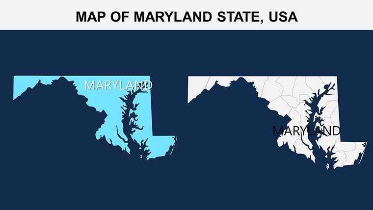
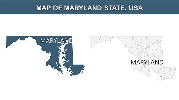
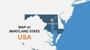
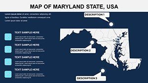
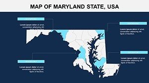
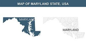
Envision a conference room where your slide deck doesn't just inform but immerses - diving into the intricate web of Maryland's 23 counties, from the rolling hills of Western Maryland to the bustling ports of the Eastern Shore. Our USA Maryland Counties PowerPoint Maps template delivers exactly that: a 26-slide arsenal of customizable, high-fidelity maps tailored for those who turn geographic data into strategic gold. Whether you're a sales director plotting market penetration in Baltimore or an environmental researcher mapping Chesapeake Bay restoration efforts, this template equips you to deliver presentations that resonate with precision and passion.
Backed by insights from USGS mapping standards and real estate analytics from sources like Zillow's regional reports, this design isn't cookie-cutter - it's a bespoke tool reflecting Maryland's diverse tapestry, from crab fisheries in Somerset to tech innovations in Montgomery. Fully optimized for PowerPoint 2016+ and Google Slides, it supports drag-and-drop edits, ensuring your visuals scale flawlessly for boardrooms or webinars. Say goodbye to clunky clipart; hello to professional-grade layers that let you overlay demographics (6 million+ residents) or economic metrics (over $400 billion GDP) with effortless elegance.
The Edge: What Sets Our Maryland Maps Template Apart
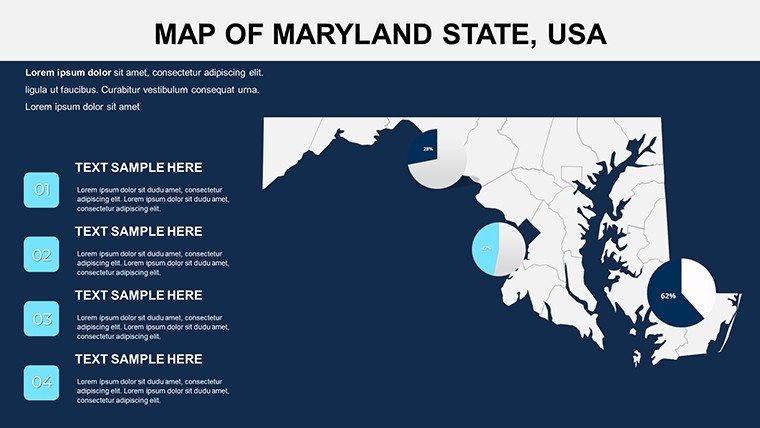
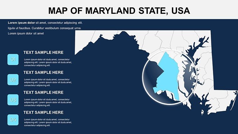
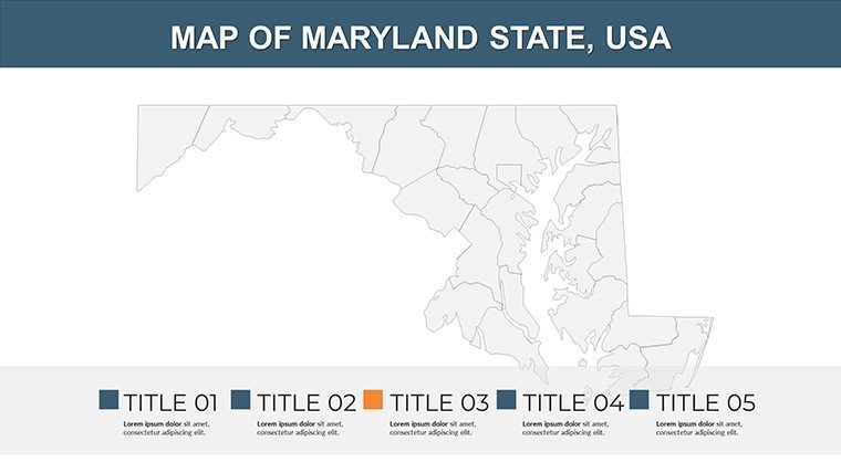
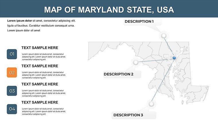
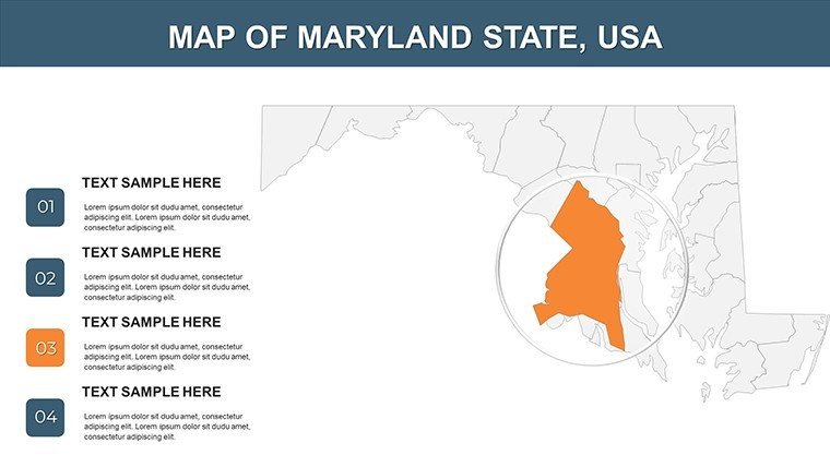
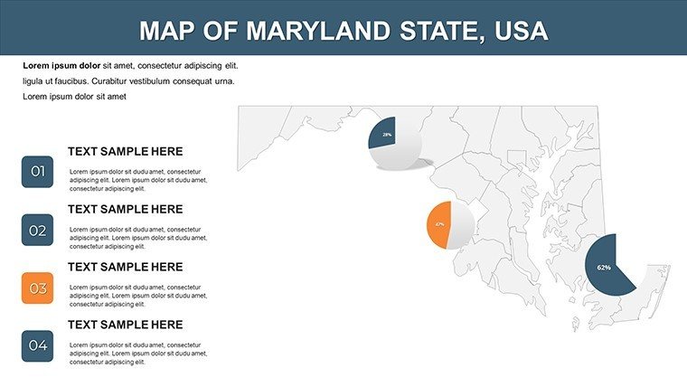
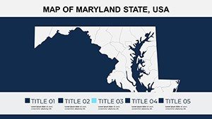
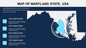
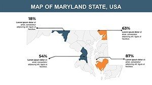
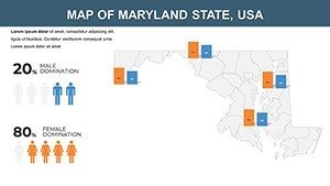
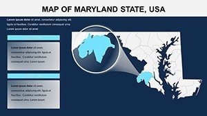
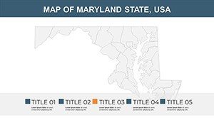
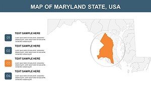
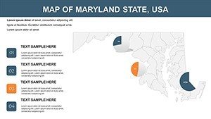
This template excels by zeroing in on county-level granularity, a rarity in off-the-shelf options. Each slide offers thematic variations - like choropleth maps color-coded for population density or heat maps for tourism hotspots - drawing from best practices in GIS visualization to make your data pop without overwhelming. We've kept it lean at 4MB, with vector graphics that stay crisp under magnification, perfect for detailed zooms on Annapolis's historic districts.
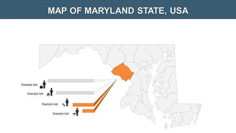
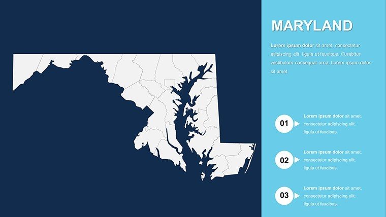
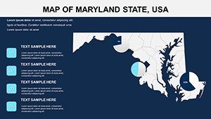
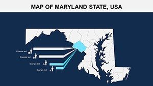
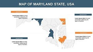
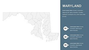
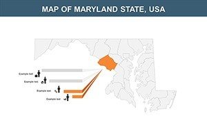
- Layered County Detailing: Isolate counties like Howard for affluent suburb analytics or Caroline for agricultural yields, with smart guides for alignment.
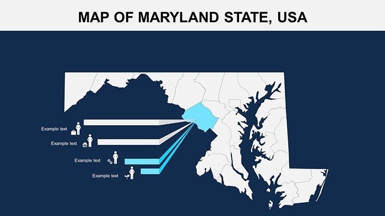
- Versatile Customization: Recolor to match your firm's palette - navy blues for maritime themes - and insert icons for landmarks like the Smithsonian's aviation exhibits.
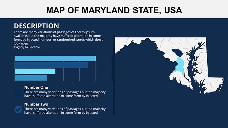
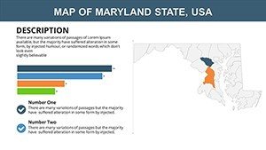
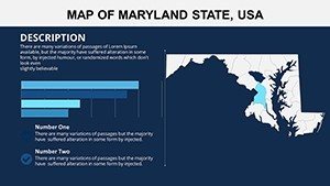
- Integrated Analytics: Built-in slots for line graphs tracking real estate trends (e.g., median home prices hitting $400K) or scatter plots on employment sectors.
- Mobile-Responsive: Ensures legibility on tablets, ideal for field reps demoing territory strategies on the go.
With 700+ downloads and glowing reviews from marketing pros, it's proven to slash design hours by half, freeing you to refine your pitch on Maryland's role in biotech hubs like Gaithersburg.
Tailored Use Cases: From Corporate Strategies to Classroom Insights
Sales and Marketing Mastery
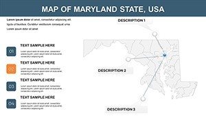
Sales teams, leverage slide 12's regional overview to visualize penetration strategies, animating growth from Baltimore's urban core to Frederick's exurbs. A pro tip: Sync with CRM data via PowerPoint's embed feature for live updates on client distributions, inspired by HubSpot case studies on geo-targeted campaigns. This beats basic tools by offering pre-animated transitions that reveal county-by-county sales forecasts, weaving in LSI terms like "demographic segmentation" or "territorial revenue mapping."
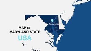
- Intro slide: Pan across the state, highlighting key waterways like the Potomac.
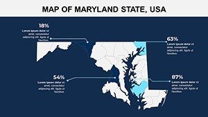
- Mid-deck: Drill into counties with donut charts for market share (e.g., 25% in healthcare).
- Close: Interactive quiz slide for audience Q&A on regional opportunities.
NGOs can adapt for advocacy, mapping conservation zones in Worcester County with overlaid satellite imagery links, aligning with EPA guidelines for impactful reporting.
Educational and Research Revolutions
For lecturers, transform dry stats into dynamic lessons: Use slide 18's blank canvas to annotate Civil War sites in Harford County, fostering debates with clickable timelines. It's Google Slides-ready for group projects, where students layer in biodiversity data from Maryland DNR reports. Travel planners? Craft bespoke routes spotlighting Ocean City's beaches versus Deep Creek Lake's ski trails, complete with mileage calculators for client itineraries.
Workflow Hacks and Expert Customization Advice
Implementation is a breeze: Unzip the .pptx, apply theme overrides for brand consistency, and export to PDF for archival. Advanced hack: Pair with Tableau exports for heat maps on voting patterns (e.g., 2024 election swings), citing Pew Research for credibility. Enhance UX with alt text on previews like "Maryland county map with editable Baltimore overlay" for accessibility and SEO.
Don't just present - dominate. Secure your Maryland Counties PowerPoint Maps template now and navigate your next big win with geographic genius.
Frequently Asked Questions
Are the county maps fully scalable for large venues?
Yes, vector-based design ensures no pixelation, even on 4K projectors.
Can I integrate live data from external sources?
Absolutely - use PowerPoint's data links to pull from Google Sheets for real-time county stats.
How does it handle color-blind accessibility?
Built with WCAG-compliant palettes; easily swap for high-contrast alternatives.
What's included in the download package?
Full .pptx file, usage guide PDF, and bonus icon set for Maryland-themed accents.
Is it suitable for international audiences?
Yes, with metric/imperial toggles and multilingual text placeholders.


