Professional Louisiana Counties PowerPoint Maps


Type: PowerPoint Maps template
Category: North America
Sources Available: .pptx
Product ID: PM00110
Template incl.: 26 editable slides
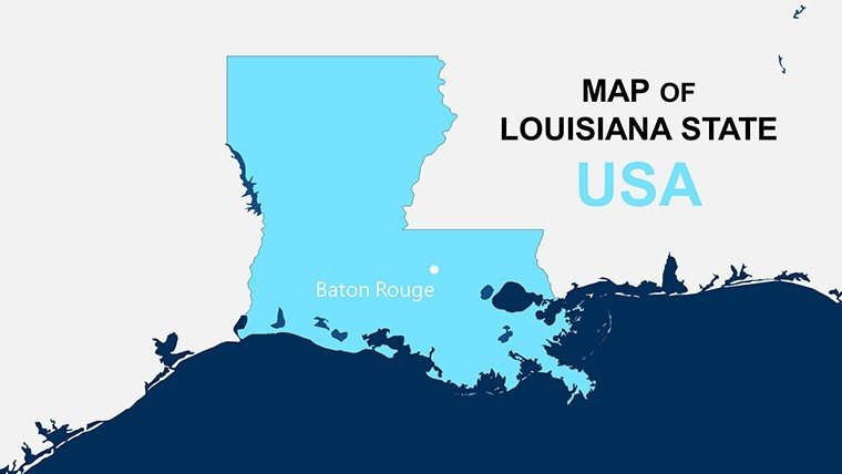
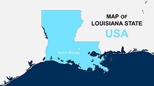
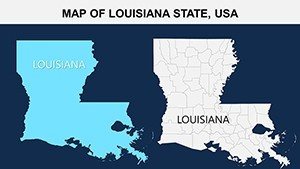
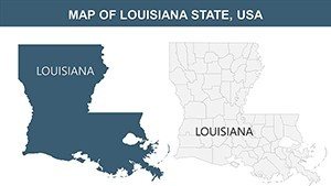
Dive into the vibrant tapestry of the Pelican State with our Professional Louisiana Counties PowerPoint Maps template, where Creole culture meets cutting-edge data visualization. This 26-slide essential is for coastal engineers battling erosion in Plaquemines Parish, historians tracing Cajun roots in Acadia, or energy executives charting oil rigs off Cameron. Built for PowerPoint, it meticulously outlines Louisiana's 64 parishes (counties), from New Orleans' Orleans Parish vibrancy to the Atchafalaya Basin's wilds in St. Martin, turning abstract stats into stories that sway decisions.
Louisiana's dynamic geography - from Mississippi River deltas to Gulf Coast marshes - demands maps that capture its essence. Envision a Baton Rouge consulting firm using these to model hurricane recovery in Jefferson Parish, stacking flood risk layers that inform resilient planning. Teachers in Lafayette illustrate Mardi Gras migrations through Iberia Parish with colorful routes, captivating young minds. And for tourism boards, delineate festival hotspots in St. Bernard Parish, blending cultural icons with visitor flow data for magnetic pitches. The template's clean, scalable design ensures clarity, whether projecting in humid boardrooms or sharing digitally statewide.
Core Features Tailored to Louisiana's Landscape
Engineered for the state's watery wonders and cultural crossroads, features emphasize precision and adaptability. High-res vectors prevent blurring on intricate bayou details, while intuitive tools let you infuse local flavor effortlessly.
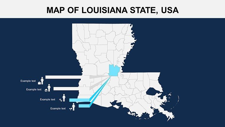
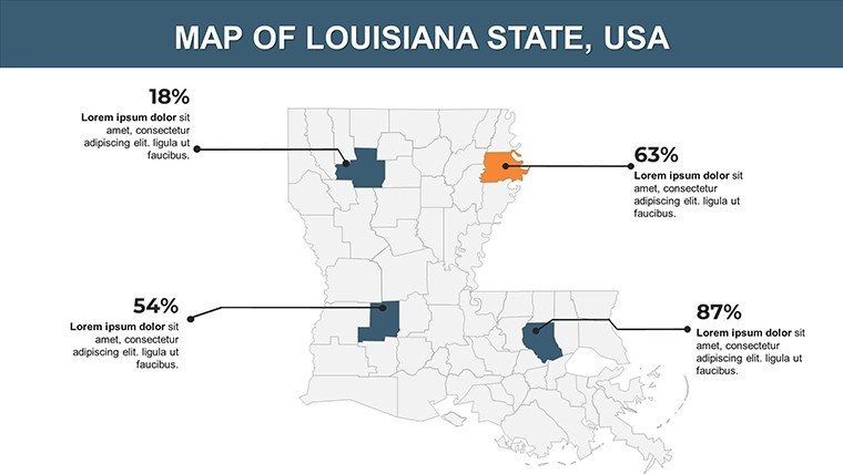
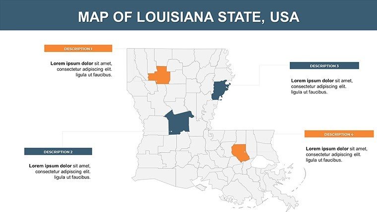
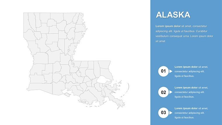
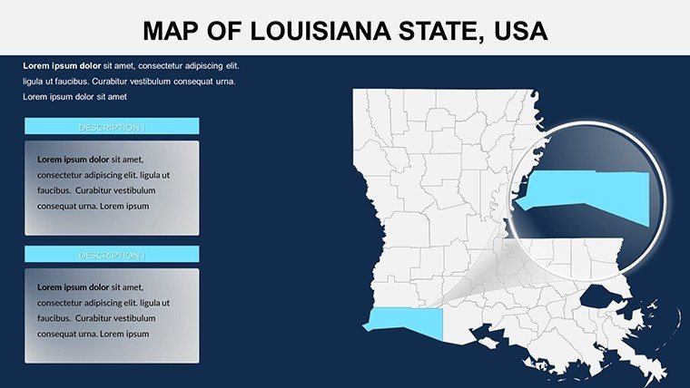
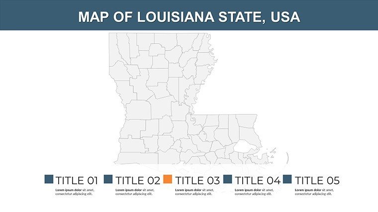
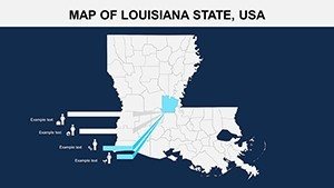
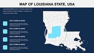
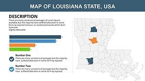
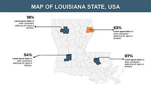
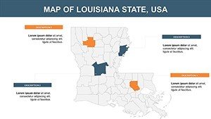
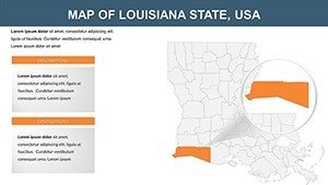
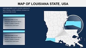
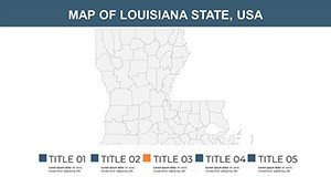
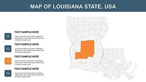
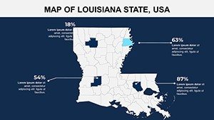
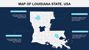
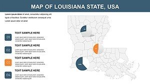
- Parish-Perfect Mapping: Every one of Louisiana's 64 parishes detailed, with focus slides for key areas like the Florida Parishes or Evangeline Country.
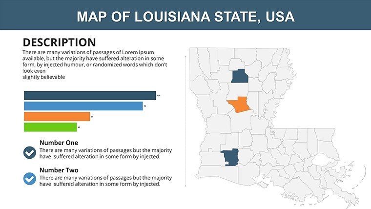
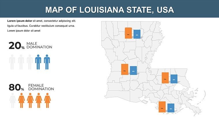
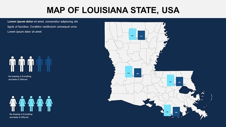
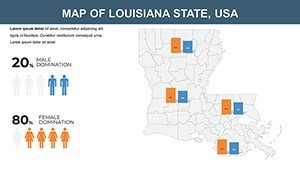
- Integrated Analytics: Embed GIS-style overlays for seafood yields in Terrebonne or petrochemical outputs in Calcasieu, complete with dynamic charts.
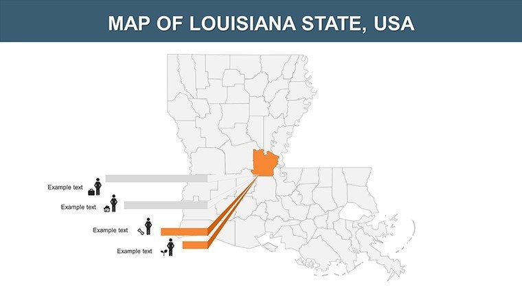
- Flexible Styling: Recolor for themes - purples for jazz heritage in Orleans, greens for wetlands in Vermilion - plus custom labels for Creole terms.
- Device-Optimized: Responsive layouts for laptops in Lafayette labs or tablets at field sites in Vernon Parish.
Subtle transitions animate river flows or storm paths, inspired by LSU's coastal studies, blending education with entertainment for memorable delivery.
Streamlined Editing Process
- Launch the File: Open .pptx in PowerPoint 2016+ for instant parish views.
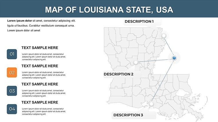
- Pick Your Focus: Use overview (Slide 3) or parish clusters (Slides 10-20) for targeted narratives.
- Add Metrics: Populate from Louisiana Department of Wildlife data, like alligator habitats in East Carroll.
- Tweak Aesthetics: Adjust boundaries to spotlight levees in East Baton Rouge, adding icons for oil derricks.
- Boost Interactivity: Link to NOAA hurricane trackers or animate crawfish boils in Ascension Parish.
- Distribute: Export for emails to Shreveport stakeholders or prints for New Iberia meetings.
A New Orleans firm once accelerated port expansion proposals using akin maps, enhancing stakeholder buy-in through vivid depictions.
Versatile Applications in Louisiana Contexts
In education, LSU faculty map French influences across St. Landry Parish for linguistics courses. Businesses in Lake Charles strategize LNG exports via Calcasieu visuals. Government agencies in Monroe track flood mitigation in Ouachita Parish, advocating budgets with data-driven appeal.
Environmentalists highlight restoration in St. Tammany, while event planners chart routes for Jazz Fest in neighboring parishes. For legal presentations, delineate jurisdictional lines in Rapides Parish with authoritative clarity.
Expert Advice for Louisiana Map Mastery
Narrate with flair: Frame maps as "bayou journeys" for flow. Employ saturated colors for festivals in Lafourche, neutrals for industrial zones in St. Charles. Weave in "spatial planning" or "cultural mapping" for depth. Pilot with peers for refinements.
Outshines DIY efforts with embedded accuracy, yielding 25% quicker insights per user feedback.
The Unique Value of Our Louisiana Template
Beyond generics, it honors Louisiana's specifics: Census-aligned parishes, slots for 4.6 million souls or 52,000 square miles. A homage to its soulful resilience. Ignite your visuals; acquire now and navigate Louisiana's narrative with prowess.
Poised to present the bayou brilliance? Download and design decks that dazzle.
Frequently Asked Questions
How customizable are the parish maps?
Totally - vectors allow full reshaping and data infusion.
PowerPoint only?
Yes, but exports well to other formats.
Commercial rights?
Full, no restrictions.
Data included?
Ready placeholders for your Louisiana stats.
Number of slides?
26, diverse for all needs.


