Custom Kentucky Counties PowerPoint Maps Template


Type: PowerPoint Maps template
Category: North America
Sources Available: .pptx
Product ID: PM00109
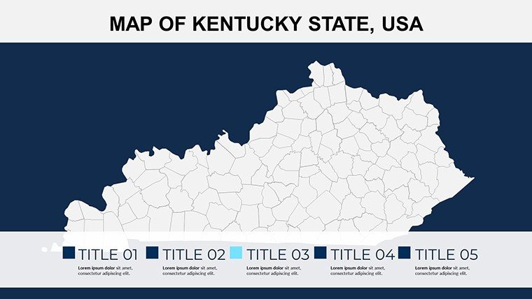
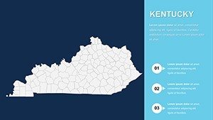
Template incl.: 26 editable slides
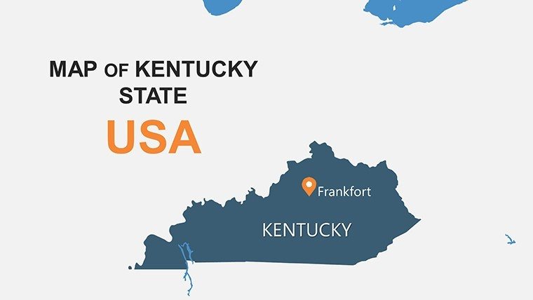
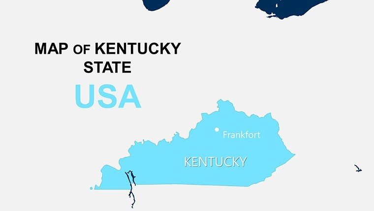
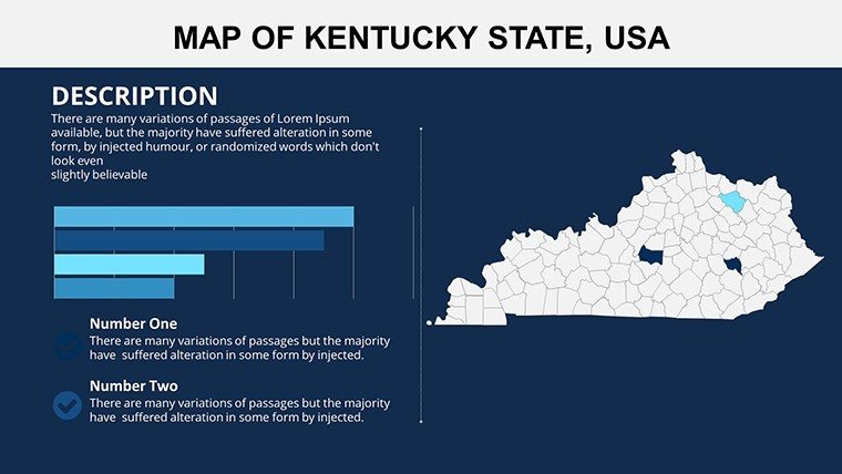
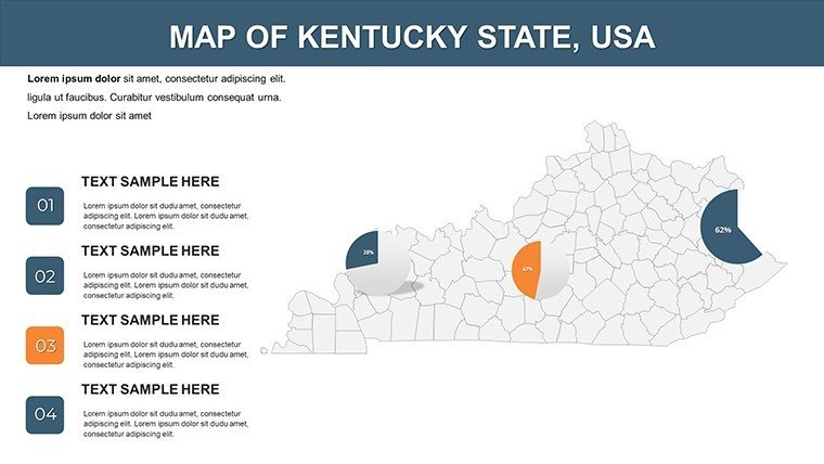
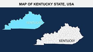
Step into the Bluegrass State's geographic storytelling with our Custom Kentucky Counties PowerPoint Maps Template, where every slide turns raw data into a symphony of insights. Tailored for educators unraveling the history of horse country, business strategists mapping bourbon trails, or government analysts tracking Appalachian developments, this 26-slide powerhouse is your gateway to professional-grade visuals. Compatible with both PowerPoint and Google Slides, it captures Kentucky's 120 counties - from the urban pulse of Jefferson in Louisville to the serene hollows of Harlan - allowing you to spotlight trends like tourism booms or coal industry shifts with effortless elegance.
In a state synonymous with Derby glamour and resilient communities, effective mapping isn't optional; it's essential for persuasion. Picture a real estate firm in Lexington using these slides to delineate growth zones in Fayette County, layering property values with demographic overlays that seal deals. Or a university professor at the University of Kentucky illustrating Civil War routes through counties like Boyle and Garrard, engaging students with animated paths that make history tangible. For nonprofits addressing rural health disparities, highlight access points in remote areas like Elliott County, fostering empathy and funding through clear, compassionate visuals. This template's drag-and-drop simplicity means you spend less time tweaking and more time inspiring action.
Standout Features for Kentucky-Focused Presentations
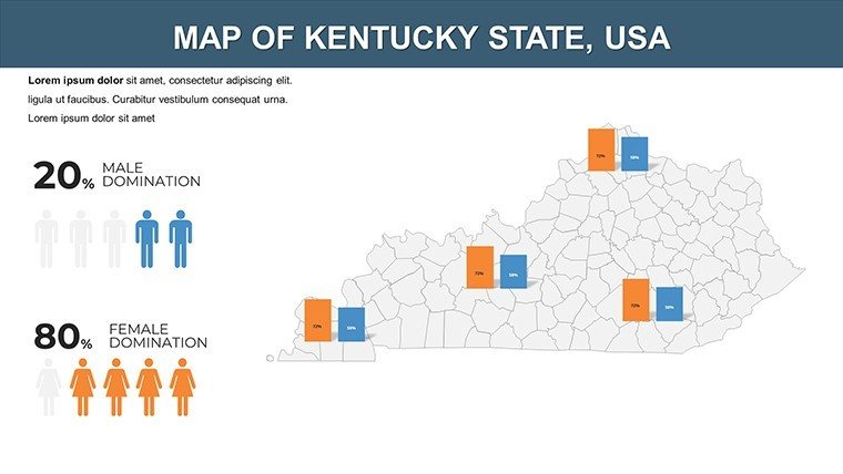
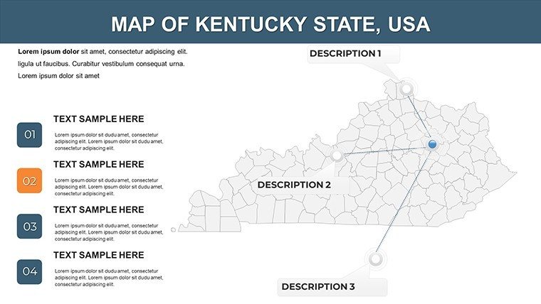
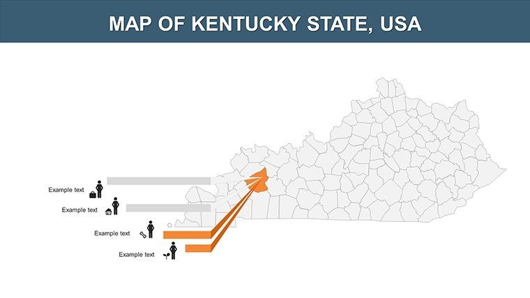
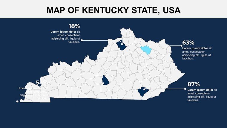
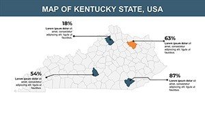
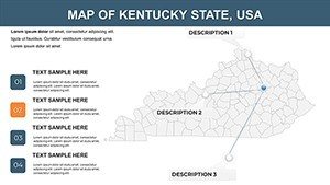
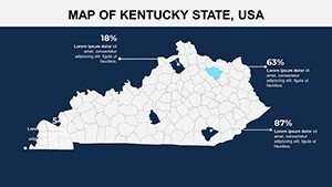
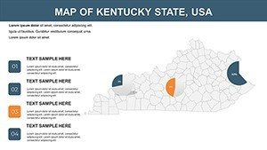
Crafted with Kentucky's diverse topography in mind, from the rolling hills of the Outer Bluegrass to the rugged Cumberland Plateau, this template boasts features that adapt to your story. Vector maps ensure crisp details, whether you're shading counties for election results or economic indicators, and built-in legends keep everything legible.
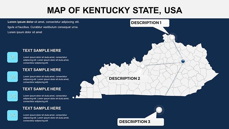
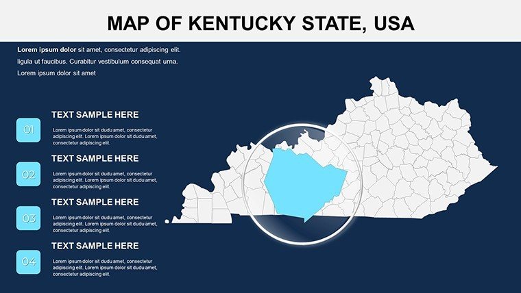
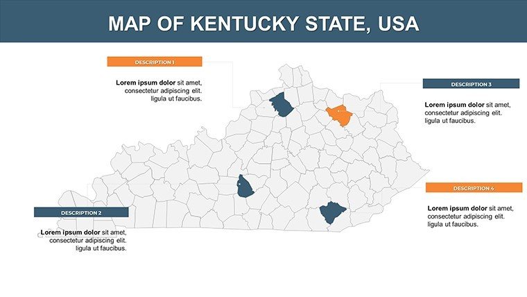
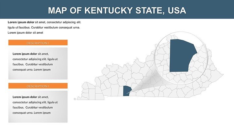
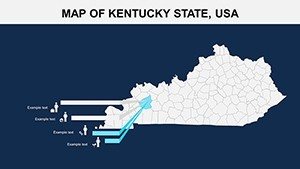
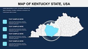
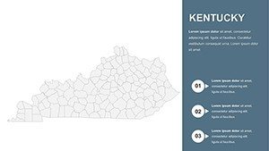
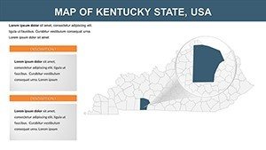
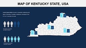
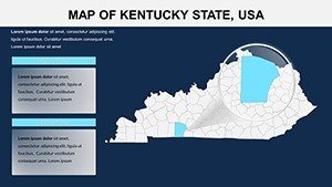
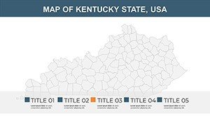
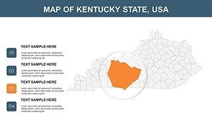
- Detailed County Mapping: Full coverage of all 120 counties, with zoomable sections for metro areas like Kenton (Cincinnati suburbs) or rural gems like McCreary.
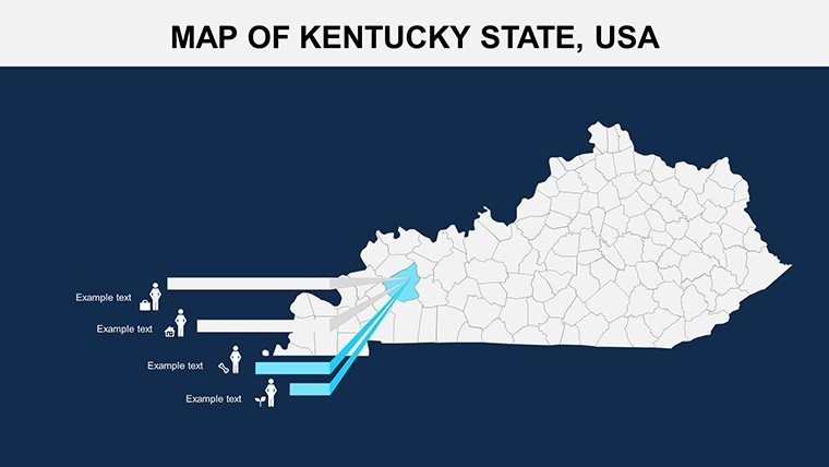
- Advanced Data Layers: Pre-set for integrating stats - add horse farm densities in Woodford County or river navigation data along the Ohio in counties like Boone.
- Brand-Aligned Edits: Modify palettes to evoke Kentucky's blues and greens, insert custom icons like fiddles for cultural events, and align text with fonts that scream Southern charm.
- Cross-Platform Versatility: Flawless in PowerPoint for offline polish or Google Slides for collaborative tweaks, with export-ready formats for versatility.
Animations bring maps to life, such as sequential reveals of county highlights during a tour of Kentucky's distilleries from Bardstown's Nelson County onward. Drawing from GIS principles and Kentucky Historical Society guidelines, it ensures factual fidelity while sparking creativity.
Effortless Customization Workflow
- Import and Setup: Open the .pptx in PowerPoint or upload to Google Slides - immediate access to all 26 slides.
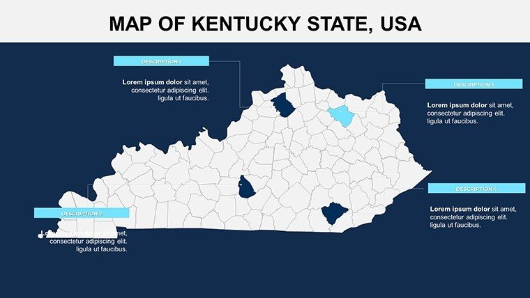
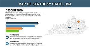
- Choose Layout: Opt for statewide (Slide 2) or thematic clusters (Slides 8-18), like Eastern Coal Fields focus.
- Layer Your Data: Drop in figures from sources like the Kentucky Cabinet for Economic Development, using smart art for flowcharts.
- Personalize Elements: Edit shapes to emphasize priorities, e.g., gold tones for gold-standard education districts in Oldham County.
- Enhance Engagement: Add hyperlinks to Kentucky Tourism sites or animate for phased reveals in sales pitches.
- Finalize and Share: Review responsiveness, then share via cloud links or print for board meetings.
This process mirrors workflows used by Frankfort policymakers, who once streamlined budget presentations with similar tools, cutting prep by 40% and boosting comprehension.
Tailored Use Cases Across Kentucky Sectors
Educators at Eastern Kentucky University employ these for geography classes, mapping the Kentucky River's influence on counties like Franklin. In business, logistics firms in Paducah visualize supply routes through McCracken County, integrating rail data for efficiency gains. Government reports on opioid recovery spotlight progress in hard-hit areas like Perry, using empathetic visuals to advocate for resources.
Marketers promoting equine events delineate breeding farms in Shelby County, while environmental groups track conservation in the Daniel Boone National Forest spanning multiple counties. For conferences, like those at the Kentucky Derby Museum, these maps add local flavor, turning abstract concepts into relatable journeys.
Pro Tips for Dynamic Kentucky Map Usage
Layer narratives: Begin with a horse-racing analogy for smooth transitions between counties. Use thematic colors - deep blues for waterways in Greenup County, earthy tones for farmland in Christian. Incorporate LSI like "regional analytics" or "geographic storytelling" to enrich discussions. Test with audiences for feedback, ensuring maps aid rather than overwhelm.
Versus stock images, this offers depth and editability, with users noting enhanced retention rates in training sessions.
Discover the Edge Over Standard Templates
Unlike broad U.S. maps, ours zooms into Kentucky nuances: Precise boundaries from state surveys, placeholders for metrics like 4.5 million residents or 40,000 square miles. It's a tribute to Kentucky's spirit - bold, balanced, beautiful. Transform your slides; grab this template and chart a course for standout success.
Eager to map Kentucky's magic? Download instantly and craft presentations that resonate.
Frequently Asked Questions
Are the maps fully customizable?
Yes, every county boundary, color, and label is editable to suit your vision.
Compatible with Google Slides?
Perfectly - designed for both platforms with no loss of functionality.
Commercial use allowed?
Absolutely, for any professional or personal project.
Includes real data?
Placeholders ready for your inputs from official Kentucky sources.
Slide count?
26, with varied layouts for comprehensive coverage.
File type?
.pptx, versatile for multiple tools.


