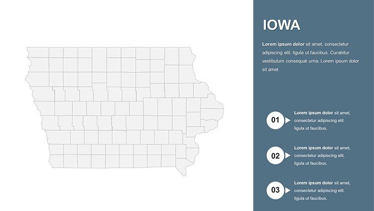
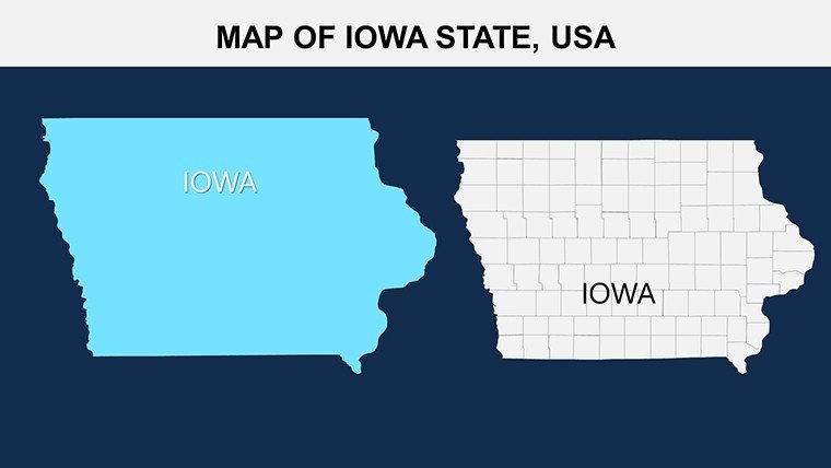
Iowa Counties PowerPoint Maps: Versatile Template


Type: PowerPoint Maps template
Category: North America
Sources Available: .pptx
Product ID: PM00107
Template incl.: 26 editable slides
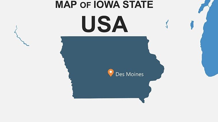
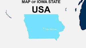
Embrace Iowa's heartland charm through maps that bring data to life. From Des Moines' urban energy to the vast farmlands of the west, our Iowa Counties PowerPoint Maps template is essential for presentations that need to convey regional nuances. With 26 editable slides, it's optimized for PowerPoint and Google Slides, offering flexibility for any user level.
As a specialist in agricultural marketing, I appreciate how such tools illuminate Iowa's farm-to-table stories. This Hawkeye State, leader in corn and pork, requires visuals that honor its rural roots. Suited for agronomists using USDA standards or community leaders mapping wind energy farms.
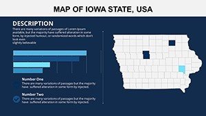
Core Features for Impactful Visuals
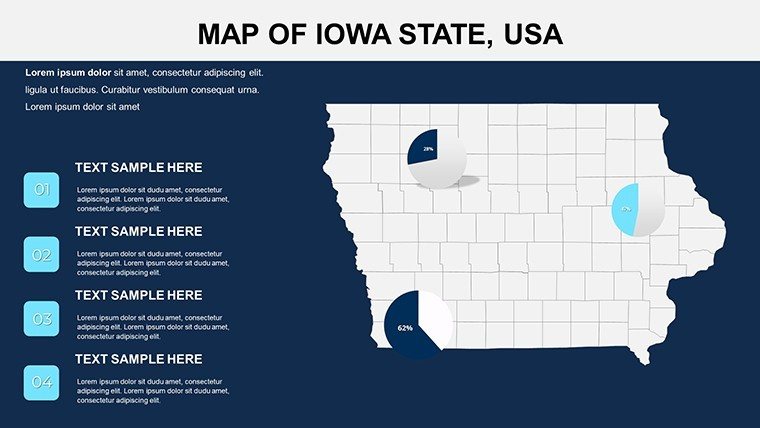
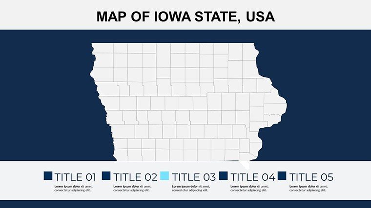
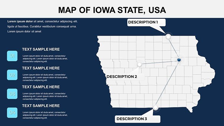
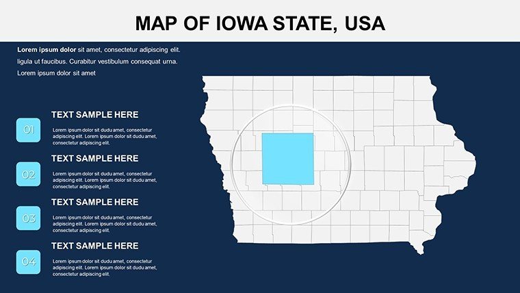
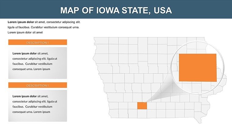
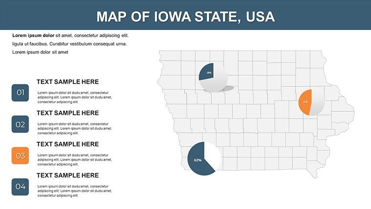
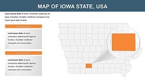
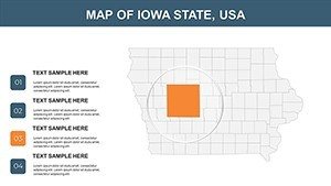
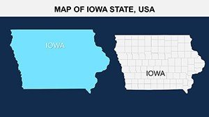
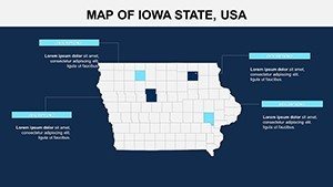
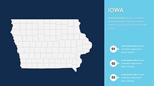
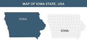
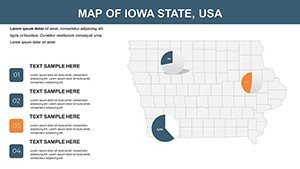
The template excels in responsive design, solving issues like device compatibility. Editable vectors provide sharp images for counties from Adair to Wright.
- Responsive Layouts: Adapt to screens, ideal for virtual farm tours in Polk County.
- Color and Font Edits: Tailor to themes, using greens for ag-focused slides.
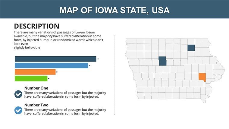
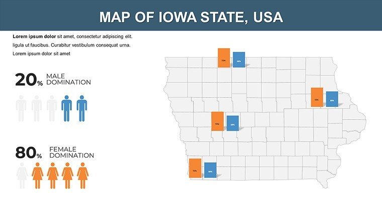
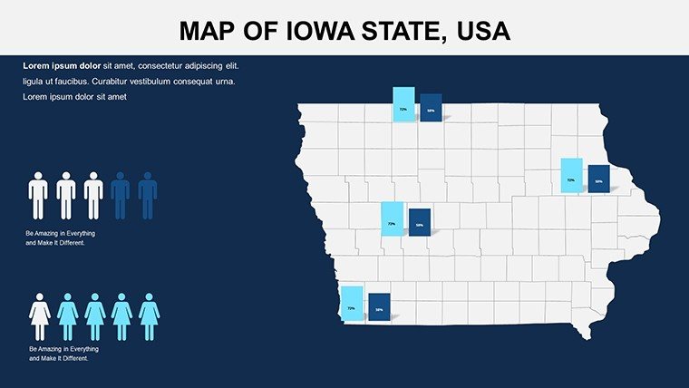
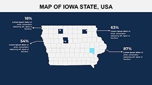
- Chart Integration: Visualize yields or demographics with embedded tools.
- Icon Collection: Iowa-specific like silos, rivers, and capitol domes.
Surpassing basic templates, it enhances efficiency - farm co-ops report 30% faster report creation.
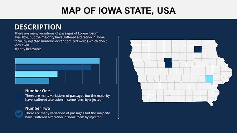
Comprehensive Slide Details
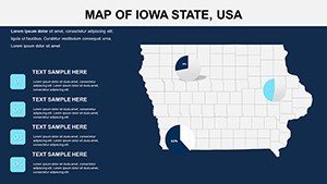
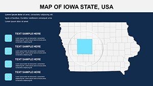
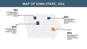
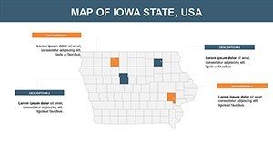
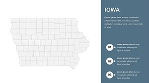
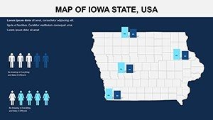
Slide 1: Statewide overview, editable for labels on cities like Cedar Rapids. Slides 2-13: County breakdowns, with spots for notes on Sioux's ethanol plants.
Slides 14-19: Thematic on ag and economy, customizable for crop rotation maps. Slides 20-24: Infrastructure and education, editable for school districts. Slides 25-26: Customizable hybrids.
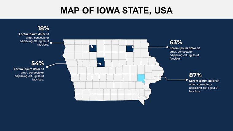
Iowa-Specific Use Cases
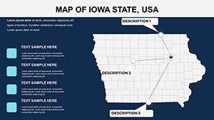
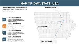
Visualize a co-op meeting on sustainable farming: Layer soil data on county maps, spotlighting Linn's innovations. For schools, create engaging lessons on the Mississippi River's influence.
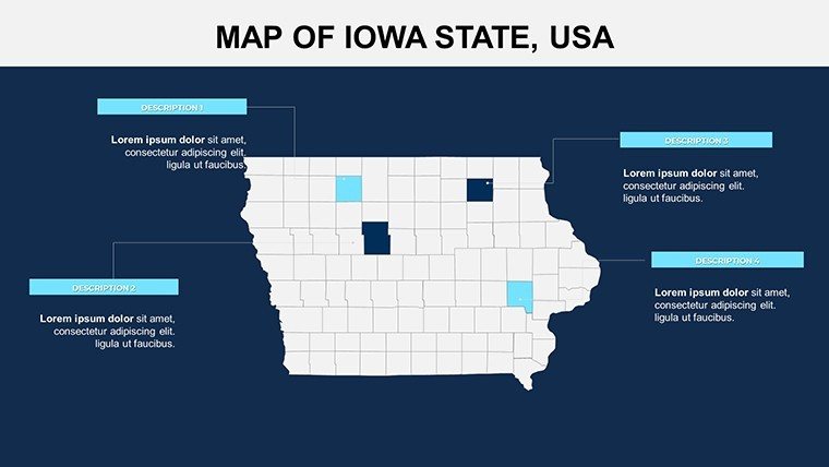
- Agribusiness Reports: Map supply chains, editing for export routes from Dubuque.
- Community Planning: Depict development, customizing for Ames' tech-ag fusion.
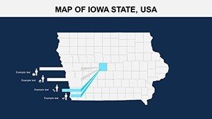
- Educational Tools: Interactive history slides on pioneer trails.
- Environmental Studies: Overlay conservation areas in the Loess Hills.
An Iowa extension service used similar maps to educate on biofuels, increasing participation. Tip: Use morph for evolving maps, syncing with narration.
Tips for Optimal Use
Structure slides narratively - overview to insights. Opt for accessible designs with large fonts. Collaborate in Google Slides for stakeholder input.
This template transcends mapping; it's a catalyst for Iowa's narratives, blending practicality with inspiration.
Empower Your Iowa Visions
Inspired by agriviz experts, it fosters clear communication. Act now - customize Iowa's landscapes and captivate your viewers.
Frequently Asked Questions
- What's the editability scope?
- Full, from colors to adding layers.
- Works with tablets?
- Yes, responsive for mobile editing.
- License for education?
- Included for classroom and research.
- Animation capabilities?
- Yes, add effects to elements.
- Data import methods?
- From CSV or manual entry.
- High-res printing?
- Supported for large formats.


