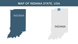
Indiana PowerPoint Maps Template: Presentation Ready


Type: PowerPoint Maps template
Category: North America
Sources Available: .pptx
Product ID: PM00106
Template incl.: 26 editable slides
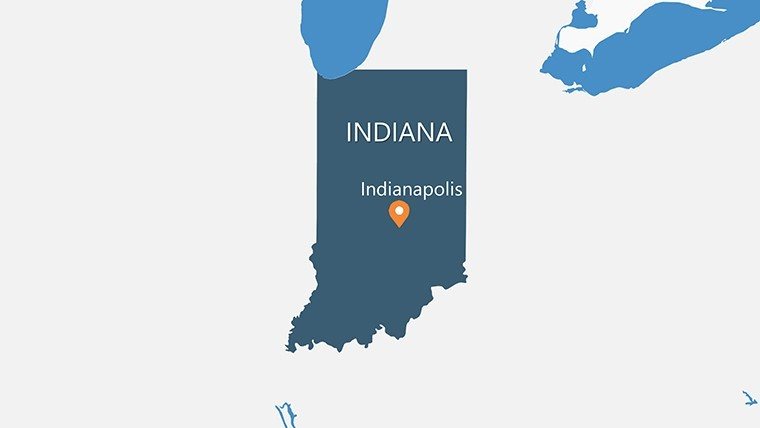
Unlock the Hoosier State's secrets through visuals that speak volumes. Our Indiana PowerPoint Maps template is your key to presentations that inform and inspire, covering everything from Indianapolis's urban vibe to the dunes of Lake Michigan. Featuring 26 editable slides, it's crafted for seamless use in PowerPoint or Google Slides, helping you deliver polished content without the hassle.
From my vantage as a marketing analyst, I've witnessed how targeted maps can clarify strategies, like in Indiana's manufacturing sector. This midwestern gem, known for auto racing and cornfields, demands tools that reflect its industrious spirit. Ideal for planners using ASCE standards for infrastructure or historians mapping the Wabash River's role.
Essential Features for Engaging Maps
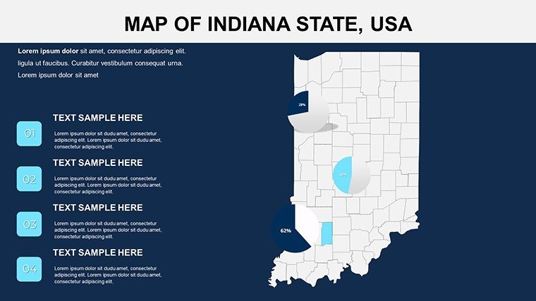
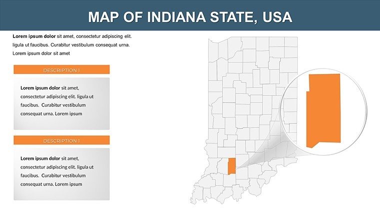
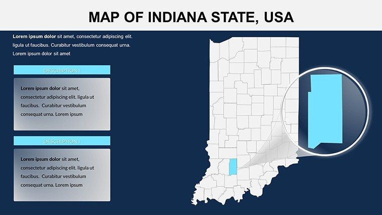
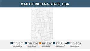
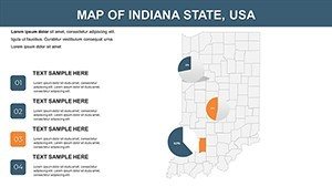
At its heart, the template offers thematic depth with editable components that address visualization gaps. Scalable vectors maintain quality, perfect for county-focused details from Allen to Warrick.
- Thematic Mapping: Layer economic data, like highlighting Elkhart's RV industry in bold hues.
- Layout Flexibility: Rearrange elements to fit your flow, adding personal flair.
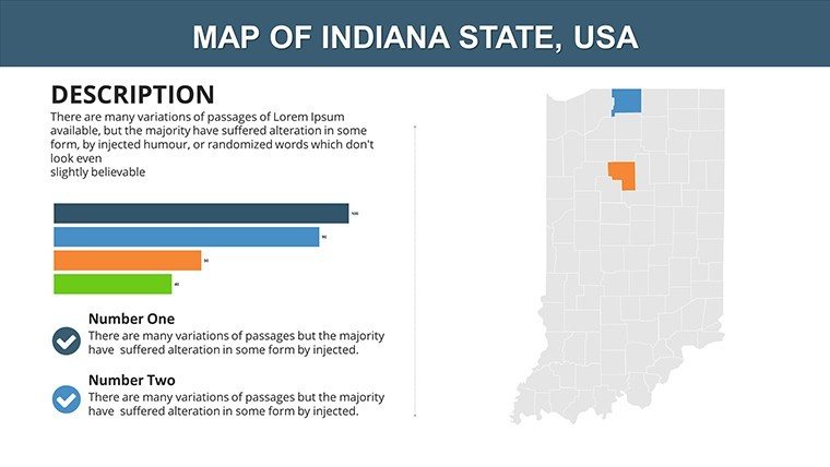
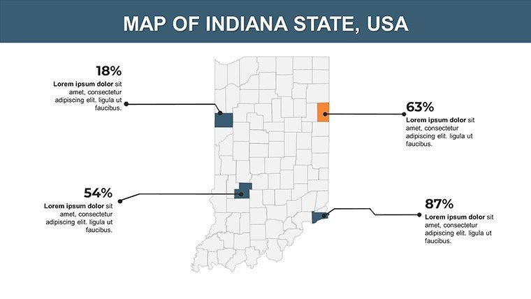
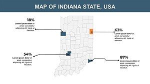
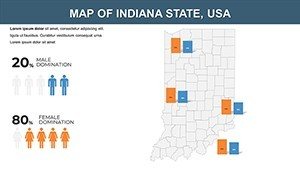
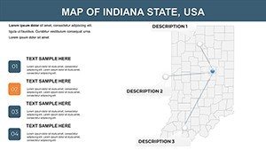
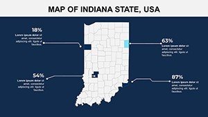
- Visualization Aids: Graphs for population or climate, making data digestible.
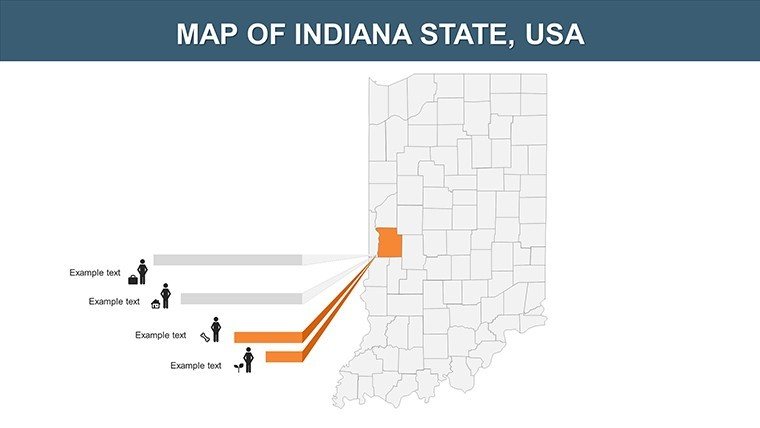
- Icon Sets: Indiana icons such as race cars, barns, and lakes to thematicize slides.
Outshining default options, it streamlines workflows - evidenced by Indiana educators who halved prep time for state fair projects.
Slide-by-Slide Exploration
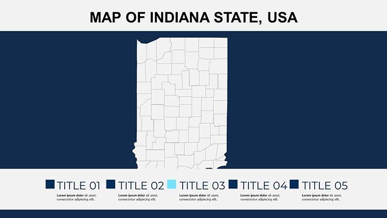
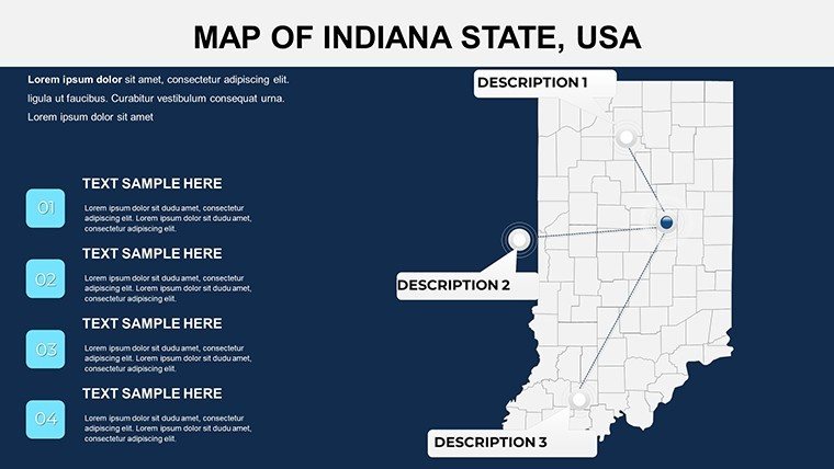
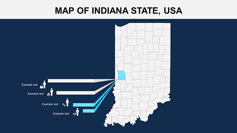
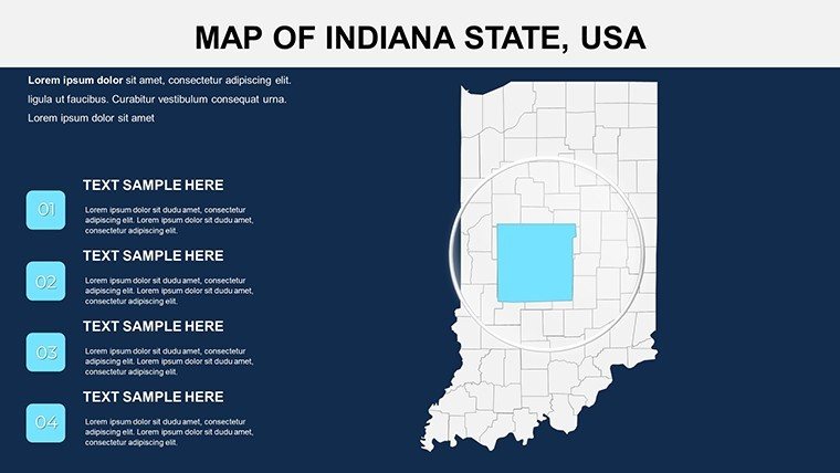
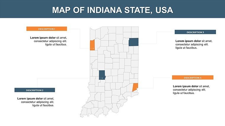
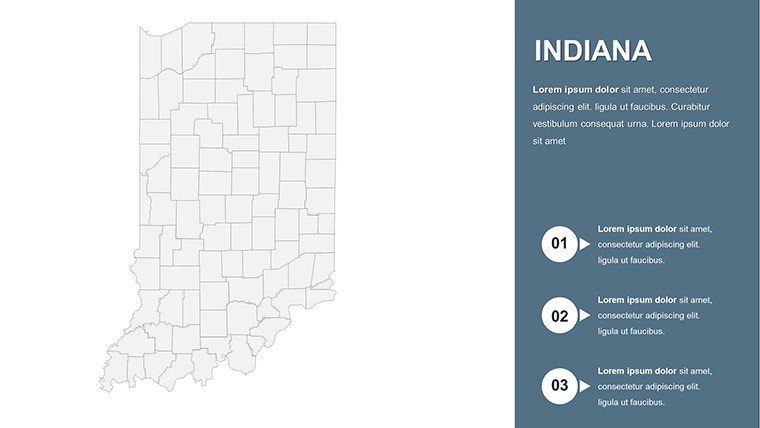
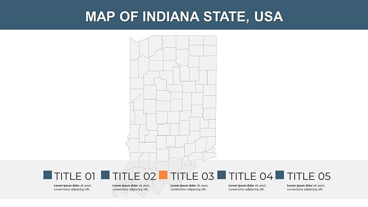
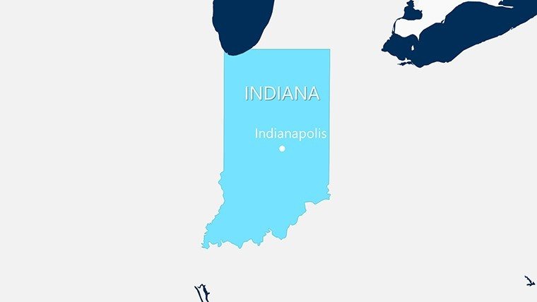
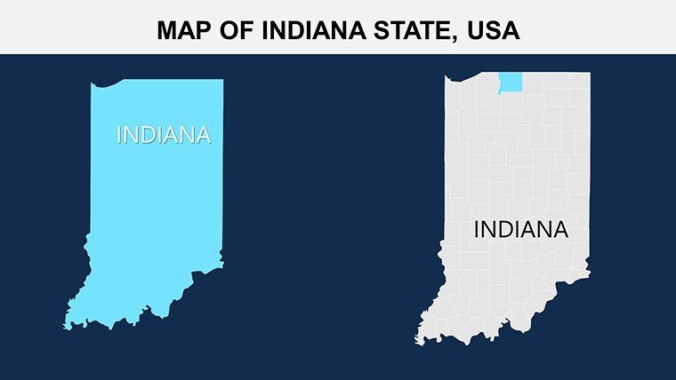
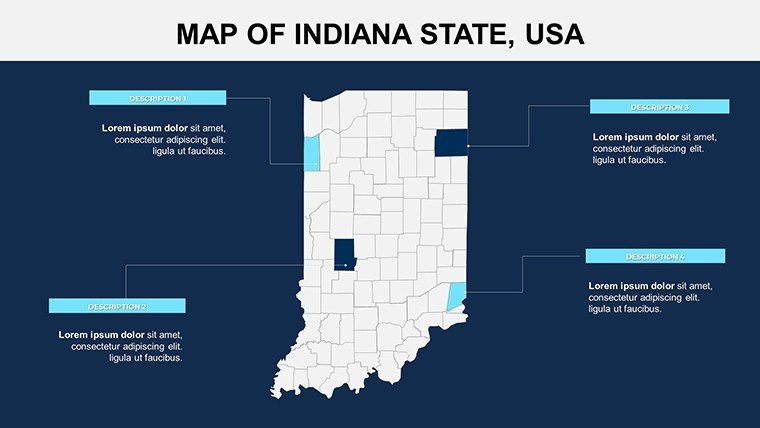
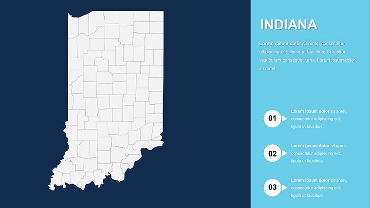
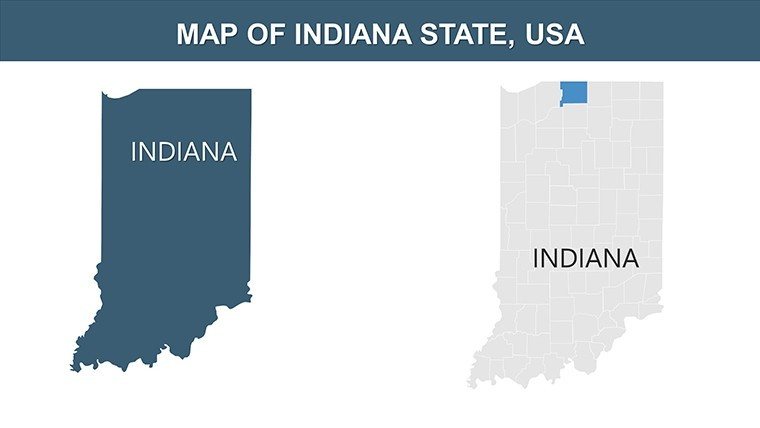
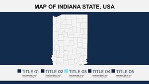
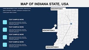
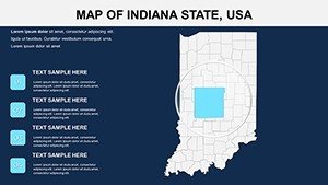
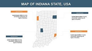
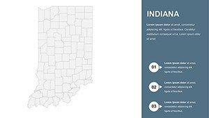
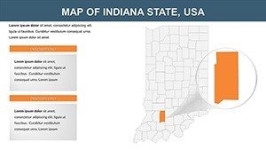
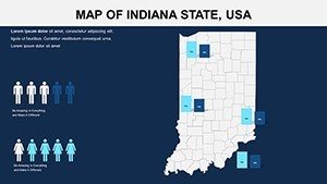
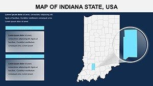
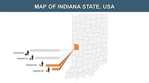
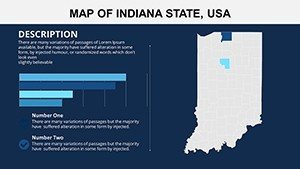
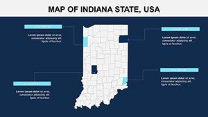
Slide 1: Comprehensive state map, editable for overviews of major hubs like Fort Wayne. Slides 2-11: County specifics, with annotation spots for details like Vanderburgh's river ports.
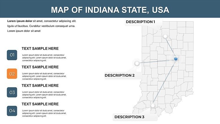
Slides 12-17: Population and infrastructure themes, customizable for density maps or highway networks. Slides 18-22: Economic and educational focuses, editable for university distributions around Purdue or IU. Slides 23-26: Versatile blanks for bespoke creations.
Targeted Applications in Indiana Contexts
Imagine strategizing for agritech investors: Map crop yields across counties, emphasizing Tippecanoe's innovations. Teachers can adapt for lessons on the Underground Railroad, with interactive elements.
- Strategic Planning: Overlay business zones, editing for expansion in Hamilton County.
- Academic Projects: Build timelines on slides for Indiana's statehood journey.
- Government Visuals: Depict policy effects, like environmental in Dunes National Park.
- Market Research: Chart consumer behaviors, customizing for auto sector trends.
In practice, an Indianapolis firm used similar maps to win bids, praising the clarity in proposals. Tip: Link slides to external data for dynamic updates, using hyperlinks for depth.
Advanced Customization Advice
Weave in narratives by grouping related slides - broad to detailed. Ensure inclusivity with color-blind friendly palettes. Use Google Slides for remote team refinements.
Beyond maps, this template fuels Indiana-centric innovation, merging utility with creativity.
Launch Your Indiana Presentations
Grounded in viz best practices from Hans Rosling, it empowers compelling storytelling. Seize the moment - customize Indiana's essence and engage your audience like never before.
Frequently Asked Questions
- How do I edit map boundaries?
- Using PowerPoint's shape tools for precise adjustments.
- Compatible with Mac versions?
- Yes, fully functional on PowerPoint for Mac and Google Slides.
- Suitable for non-profits?
- Yes, with licenses for educational and community use.
- Can I add animations?
- Built-in support for custom animations on map elements.
- Export options?
- To PDF, images, or video for versatile sharing.


