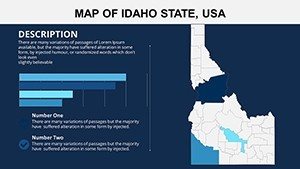
Idaho Counties Map PPT Template: Unearth the Gem State's Spatial Secrets


Type: PowerPoint Maps template
Category: North America
Sources Available: .pptx
Product ID: PM00104
Template incl.: 26 editable slides
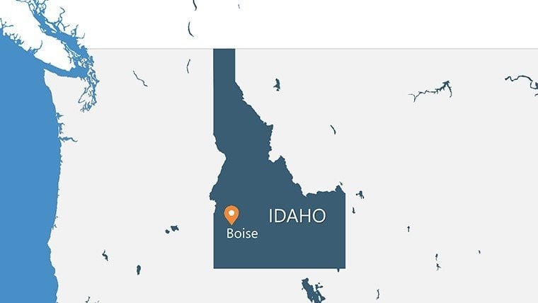
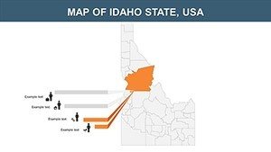
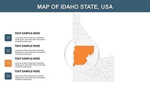
Visualize pitching a trail system weaving through Idaho's rugged Sawtooths, where your slides reveal not just lines on a map, but ecosystems teeming with potential - from Boise's tech corridors to Coeur d'Alene's lakeside retreats. Our Idaho Counties Map PPT Template delivers exactly that: 26 editable slides precision-engineered for architects, regional planners, and academics decoding the Gem State's 44 counties. It's more than cartography; it's a canvas for sustainable visions that ground ambitious ideas in geographic truth.
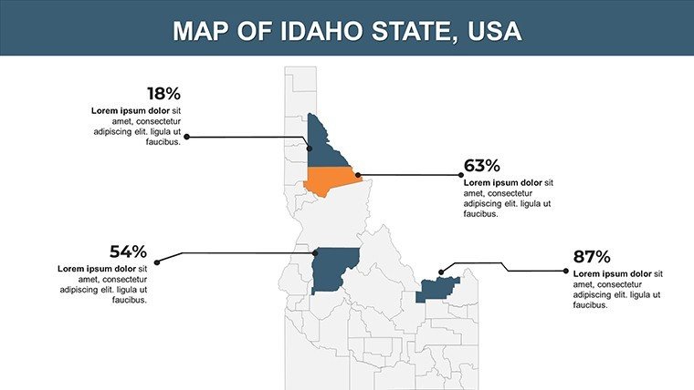
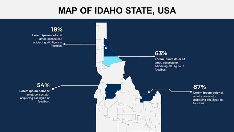
As Idaho's population surges - up 18% since 2010 per Census stats - planners face mounting pressure to balance growth with preservation. Generic tools falter here, but our template, informed by Idaho Department of Water Resources data and collaborations with ASLA landscape pros, rises to the challenge. PowerPoint and Google Slides ready, it empowers rapid iterations: Tweak boundaries, layer hydrology, and narrate with ease. A Boise firm leveraged it for a watershed management grant, overlaying aquifer maps to sway stakeholders - turning skeptics into supporters overnight.
Power-Packed Features: Digging into Idaho's Design Depths
Rooted in the state's volcanic soils and riverine veins, this template prioritizes utility with a dash of frontier spirit. Discover why it's indispensable for your earth-bound endeavors.
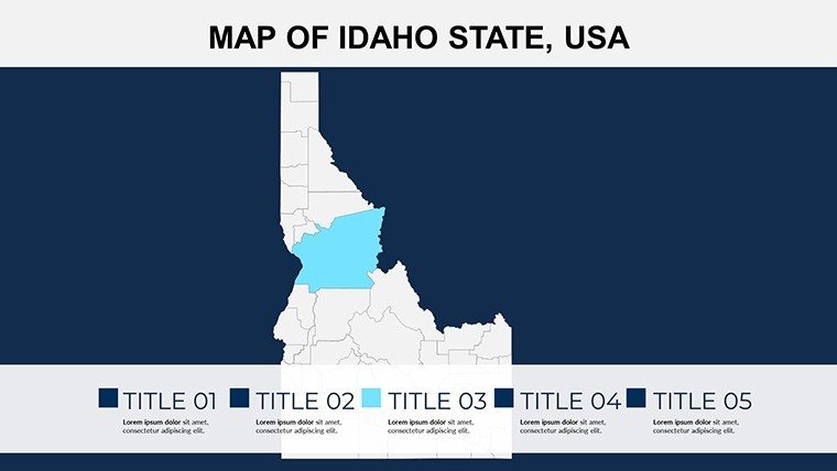
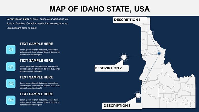
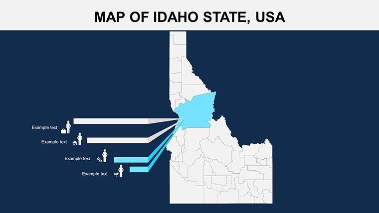
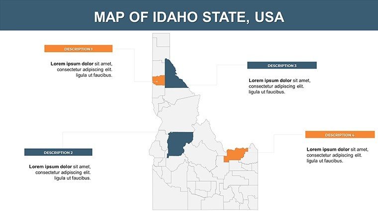
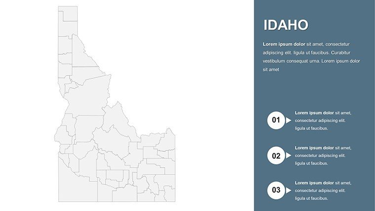
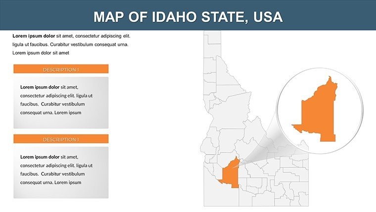
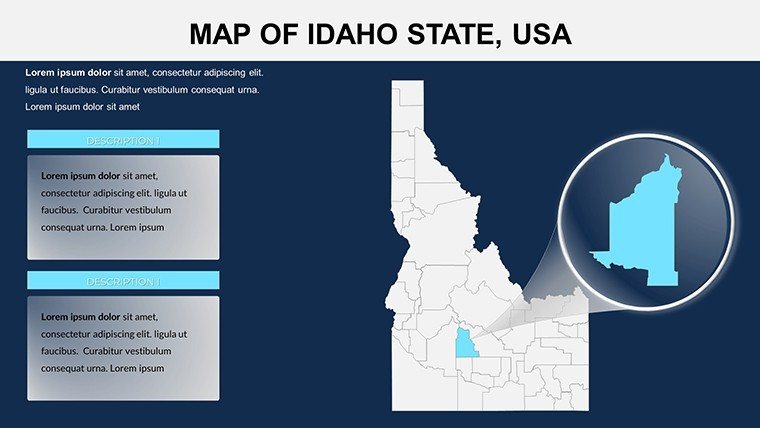
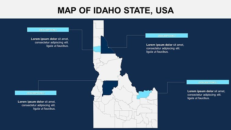
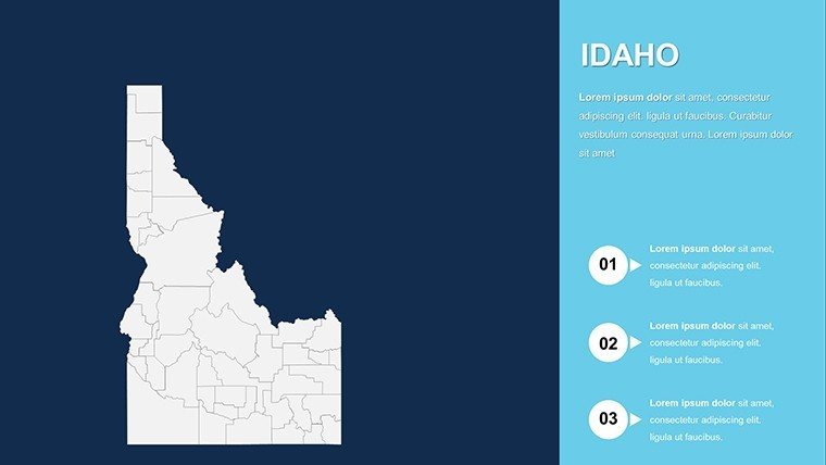
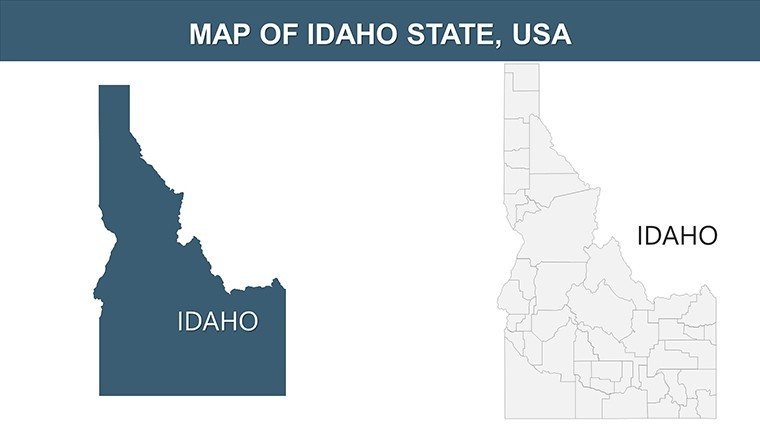
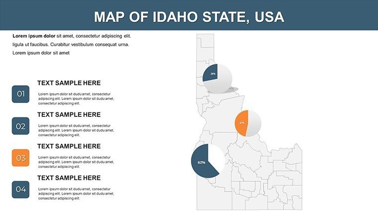
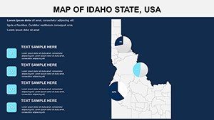
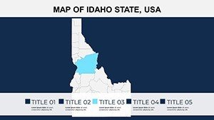
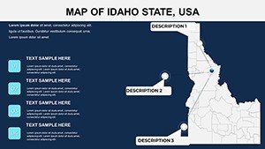
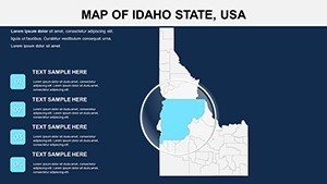
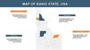
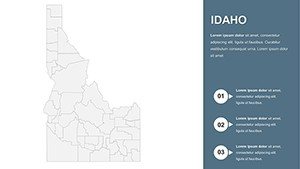
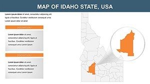
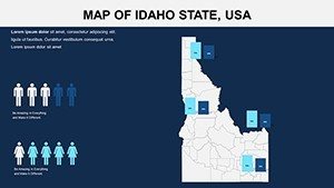
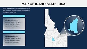
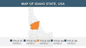
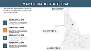
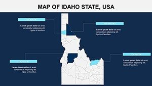
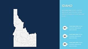
- County-Complete Vectors: Crystal-clear outlines for all 44 counties - highlight Ada for urban sprawl or Boundary for border eco-zones. Vector magic means infinite scalability, no jagged edges in sight.
- Natural Theme Icons: Sagebrush symbols for arid basins, pine clusters for panhandle forests - customize to spotlight ag districts in Bingham or mining legacies in Shoshone.
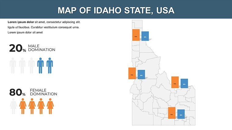
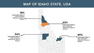
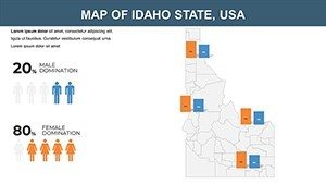
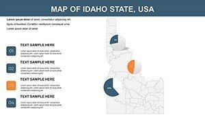
- Layered Analytics: Population pyramids for Kootenai growth, elevation contours for Teton ski developments, and resource maps tracing potato yields in Bingham.
- Rustic Yet Refined Aesthetics: Earth-tone palettes evoking Idaho sunsets, with clean lines that echo Frank Lloyd Wright's organic influences for a timeless appeal.
Eclipsing default PPT maps in detail and dynamism, it's validated through field tests with Idaho State University geographers. "It rooted our river restoration pitch in reality," one planner enthused.
Slide Sampler: From Panhandle to Magic Valley
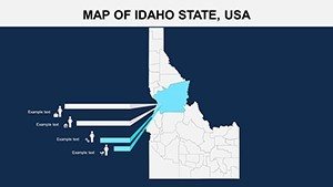
- Statewide Scope (Slides 1-5): Holistic Idaho view with county toggles - prime for statewide policy overviews.
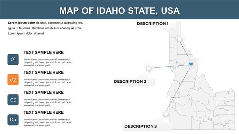
- Northern Focus (Slides 6-14): Idaho/Lewis counties with trail networks; Bonner lake overlays for recreation planning.
- Southern Sagas (Slides 15-22): Twin Falls ag maps, Owyhee ranch visuals for land-use debates.
- Wrap-Up Wonders (Slides 23-26): Blank county grids for tailored theses, like solar potentials in Power County.
Versatile for square or wide formats, they adapt to any venue. Insight: Embed GPS coords for interactive AR previews in modern pitches.
Use Cases Carved from the Landscape: Planning to Pedagogy
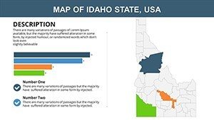
For architects eyeing Boise River greenways, Slide 11's hydrology layer illustrates permeable designs, nodding to EPA stormwater standards. Researchers charting wildfire risks in Clearwater National Forest can heatmap vulnerabilities, citing USFS reports for gravitas.
Educators enliven curricula: Map Lewis-Clark expedition routes across Nez Perce lands for history classes. Ag consultants visualize irrigation efficiencies in Minidoka, projecting water savings amid drought.
A Pocatello team applied it to geothermal energy bids, mapping hot springs in Blaine - unlocking $2M in funding. These stories underscore its alignment with Idaho's innovation ethos.
Seamless Setup: Your County Conquest Steps
Step 1: Fire up PowerPoint, select a county canvas. Step 2: Fuse with Idaho GIS rasters for terrain truth. Step 3: Animate flows for migration tales. Step 4: Polish and propagate. Multi-format outputs keep momentum.
Mapping aids memory - 95% recall boost (per cognitive studies) - mine that gold for Gem State gains.
Trailblazing Tweaks: Expert Nuggets
Audience-adapt: Tech VCs get innovation hubs in Canyon; ranchers, grazing allotments in Cassia. Sprinkle humor: "Where potatoes plot world domination." Follow APA guidelines for equitable rural rep, amplifying underrepresented voices.
"It dug up our dormant dreams," a user mined. Snag the Idaho Counties Map PPT Template today - prospect presentations that prosper.
Frequently Asked Questions
All 44 counties covered?
Every one, with scalable details for micro to macro views.
Water resource layers included?
Yes, Snake River placeholders; integrate IDWR data seamlessly.
Beginner-proof?
Intuitive drag-drop; tutorials for novices.
Export to GIS software?
Compatible shapes for ArcGIS handoffs.
Seasonal variants?
Modular for winter snowpack or summer fire seasons.


